Wern-gogas Covert
Wood, Forest in Caernarfonshire
Wales
Wern-gogas Covert
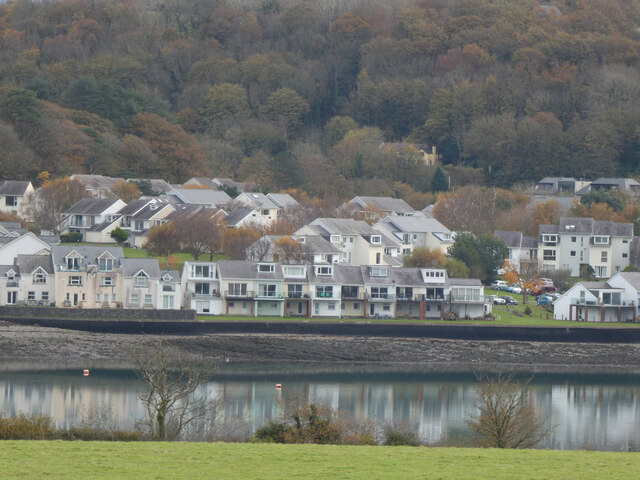
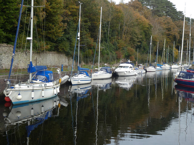
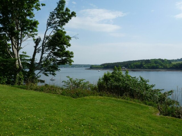
Wern-gogas Covert is a small woodland area located in Caernarfonshire, Wales. Situated near the village of Llanrug, it covers an area of approximately 10 hectares. The woodland is part of the larger Wern-gogas estate, known for its scenic beauty and rich biodiversity.
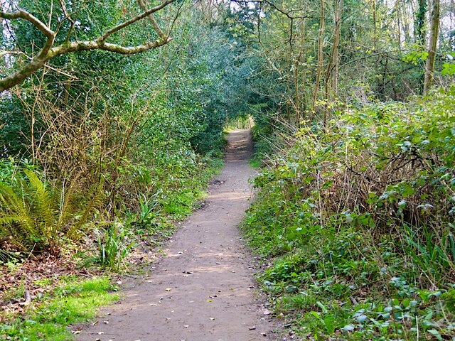
The woodland predominantly consists of native deciduous trees, including oak, birch, and beech, which create a dense canopy, providing shelter for a variety of wildlife. The forest floor is covered in a thick carpet of mosses, ferns, and wildflowers, adding to its natural charm.
Wern-gogas Covert offers a tranquil environment for nature enthusiasts, providing opportunities for walking, birdwatching, and exploring the local flora and fauna. The woodland is home to various species of birds, including woodpeckers, owls, and warblers, making it a popular spot for birdwatchers.
The woodland also has a network of well-maintained footpaths, allowing visitors to navigate through the area easily. The paths wind through the trees, offering glimpses of a small stream that runs through the forest, providing a soothing soundtrack of running water.
Wern-gogas Covert is a cherished natural gem in Caernarfonshire, attracting locals and tourists alike. Its peaceful atmosphere, picturesque scenery, and diverse wildlife make it an ideal destination for those seeking a peaceful retreat in the heart of nature.
If you have any feedback on the listing, please let us know in the comments section below.
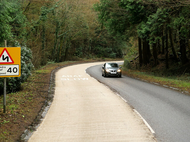
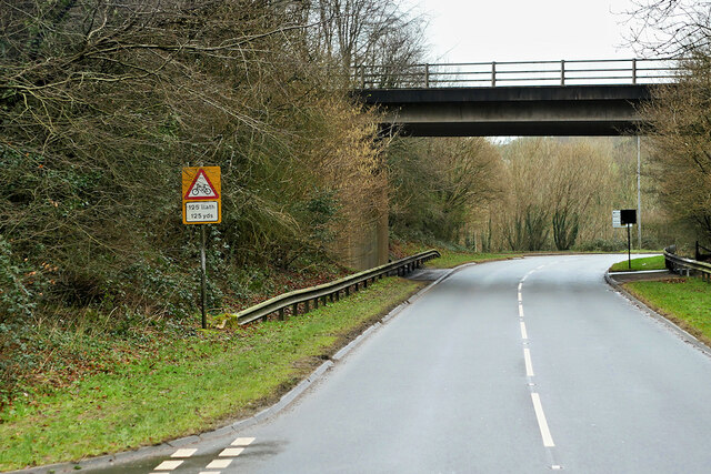
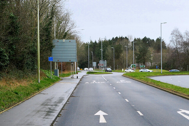
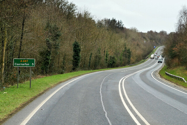
Wern-gogas Covert Images
Images are sourced within 2km of 53.195896/-4.185784 or Grid Reference SH5468. Thanks to Geograph Open Source API. All images are credited.

Wern-gogas Covert is located at Grid Ref: SH5468 (Lat: 53.195896, Lng: -4.185784)
Unitary Authority: Gwynedd
Police Authority: North Wales
What 3 Words
///suspend.pure.deeds. Near Y Felinheli, Gwynedd
Nearby Locations
Related Wikis

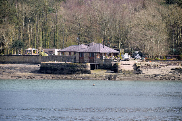
Vaynol
Vaynol or Y Faenol (Welsh [ə ˈveɨnɔl]) is a country estate dating from the Tudor period near Y Felinheli in Gwynedd, North Wales (grid reference SH536695...

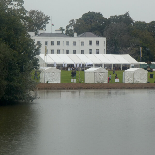
Faenol Festival
The Faenol Festival (Welsh: Gŵyl y Faenol) is a music festival organised by Welsh singer Bryn Terfel, originally held annually on the Faenol Estate (Welsh...

Y Felinheli F.C.
Clwb Pêl Droed Y Felinheli (English: Y Felinheli Football Club) is a Welsh football team based in the village of Y Felinheli (formerly known in English...
Ysgol Glanaethwy
Ysgol Glanaethwy is a drama school in Bangor, Gwynedd, Wales. It is known in particular for its choir, Côr Glanaethwy. == History == Ysgol Glanaethwy was...
Treborth railway station
Treborth railway station was a railway station located on the Bangor and Carnarvon Railway, about half a mile south of the Britannia Bridge, Caernarfonshire...
Port Dinorwic railway station
Port Dinorwic railway station was the name of two railway stations located on the Bangor and Carnarvon Railway near the village of Port Dinorwic (now Y...
GreenWood
GreenWood (Welsh: Gelli Gyffwrdd), formerly GreenWood Forest Park and The GreenWood Centre, is a family fun park at Y Felinheli in Gwynedd, Wales. The...
Pwll Fanog wreck
The Pwll Fanog wreck is a small Medieval-era wooden vessel that sank in the Menai Strait, off the coast of Anglesey in Wales. The cargo vessel, believed...
Nearby Amenities
Located within 500m of 53.195896,-4.185784Have you been to Wern-gogas Covert?
Leave your review of Wern-gogas Covert below (or comments, questions and feedback).