Allerston
Settlement in Yorkshire Ryedale
England
Allerston

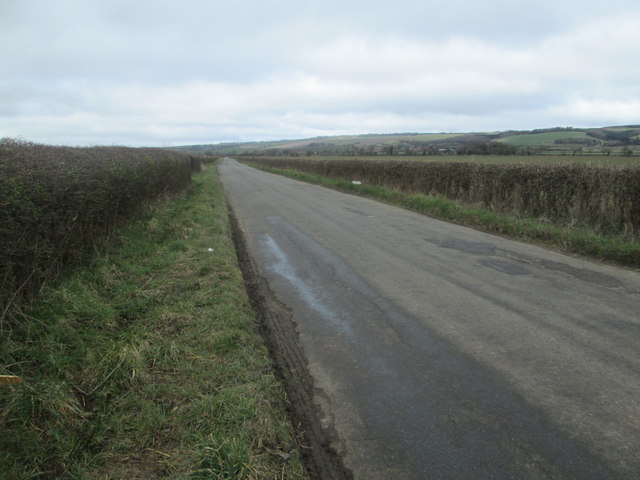
Allerston is a small village located in the Ryedale district of North Yorkshire, England. Situated on the southern edge of the North York Moors National Park, it lies approximately 4 miles south-west of the market town of Pickering. The village is nestled in a picturesque countryside setting, surrounded by rolling hills and stunning landscapes.
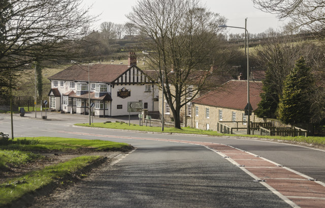
With a population of around 400 residents, Allerston has a close-knit community feel. The village is primarily residential, consisting of a mixture of traditional stone-built cottages, farmhouses, and newer housing developments. There is also a small number of businesses, including a pub and a caravan park, which cater to both locals and visitors.
Allerston benefits from its proximity to the North York Moors, offering residents and visitors ample opportunities for outdoor activities such as hiking, cycling, and wildlife spotting. The village is well-connected to the surrounding areas, with good road links to nearby towns and villages. The A170 road passes through the village, providing easy access to Pickering, Helmsley, and Scarborough.
In terms of amenities, Allerston has a village hall which serves as a community hub for various events and gatherings. The village also boasts a primary school, providing education for local children.
Overall, Allerston presents a tranquil and idyllic rural setting, making it an attractive place to live for those seeking a peaceful countryside lifestyle within easy reach of amenities and natural beauty.
If you have any feedback on the listing, please let us know in the comments section below.
Allerston Images
Images are sourced within 2km of 54.230983/-0.652843 or Grid Reference SE8782. Thanks to Geograph Open Source API. All images are credited.


Allerston is located at Grid Ref: SE8782 (Lat: 54.230983, Lng: -0.652843)
Division: North Riding
Administrative County: North Yorkshire
District: Ryedale
Police Authority: North Yorkshire
What 3 Words
///totally.bands.unsecured. Near Thornton Dale, North Yorkshire
Nearby Locations
Related Wikis

Allerston
Allerston is a village and civil parish in North Yorkshire, England, about 5 miles (8 km) east of Pickering. According to the 2001 census, the parish had...
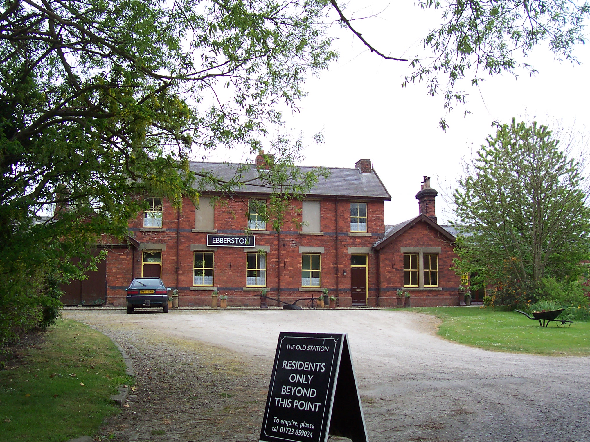
Ebberston railway station
Ebberston railway station was situated on the North Eastern Railway's Pickering to Seamer branch line. It served the villages of Allerston, Ebberston...

Ebberston Hall
Ebberston Hall is a Grade II* listed country house in Ebberston, North Yorkshire, England. It was constructed during 18th century for William Thompson...

Marske Hall, Richmondshire
Marske Hall is a Grade II* listed country house in Marske, North Yorkshire, England. == History == Markse Hall was bought in 1596 by the then Archbishop...
Nearby Amenities
Located within 500m of 54.230983,-0.652843Have you been to Allerston?
Leave your review of Allerston below (or comments, questions and feedback).