Allerthorpe

Settlement in Yorkshire

England

Allerthorpe

Footpath south of Barmby Road
Footpath south of Barmby Road Credit: David Brown

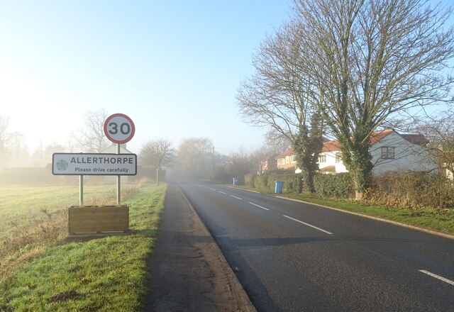
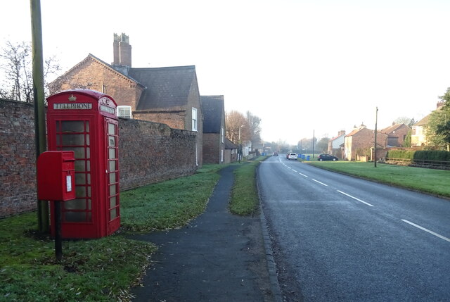
Allerthorpe is a small village located in the East Riding of Yorkshire, England. Situated approximately 15 miles east of the historic city of York, it falls within the parish of Melbourne and is part of the Pocklington area. With a population of around 400 residents, it is a close-knit community surrounded by picturesque countryside.

The village is known for its peaceful and rural setting, offering a tranquil escape from the hustle and bustle of city life. Allerthorpe benefits from its proximity to Allerthorpe Common Nature Reserve, a designated Site of Special Scientific Interest (SSSI), which provides ample opportunities for walking, birdwatching, and enjoying the local flora and fauna.

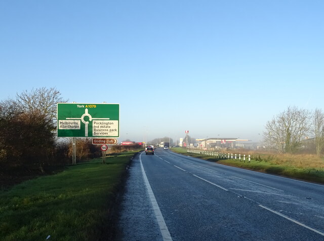
Allerthorpe offers basic amenities, including a village hall and a primary school, which serves the local community and nearby villages. A short drive away, the town of Pocklington provides additional amenities, such as supermarkets, shops, and services. The village is well-connected by road, with easy access to the A1079, making it convenient for commuters and visitors alike.

Historically, Allerthorpe was known for its agriculture, with farming being an important industry in the area. Today, while farming remains present, the village's economy has diversified, with some residents commuting to nearby towns for work. The village also benefits from tourism, attracting visitors who appreciate its idyllic countryside setting and the range of outdoor activities available in the surrounding area.

In summary, Allerthorpe is a small, rural village in Yorkshire that offers a peaceful lifestyle, beautiful natural surroundings, and a strong sense of community.

If you have any feedback on the listing, please let us know in the comments section below.
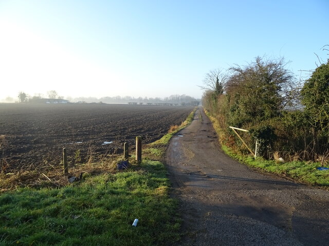
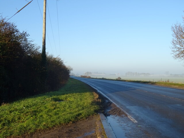
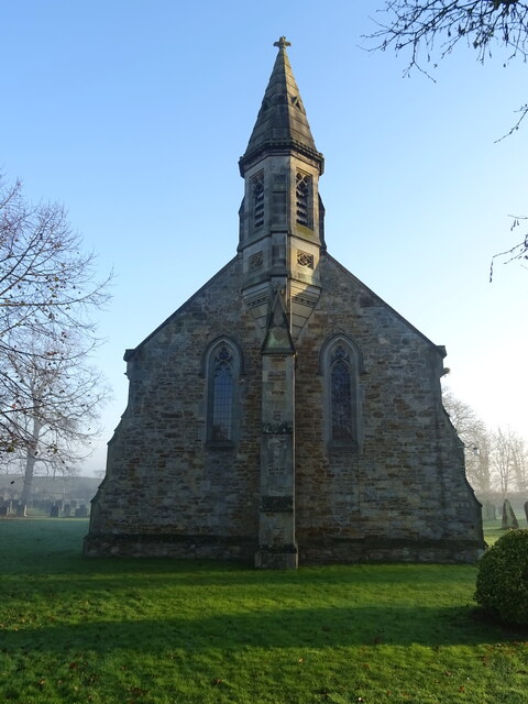
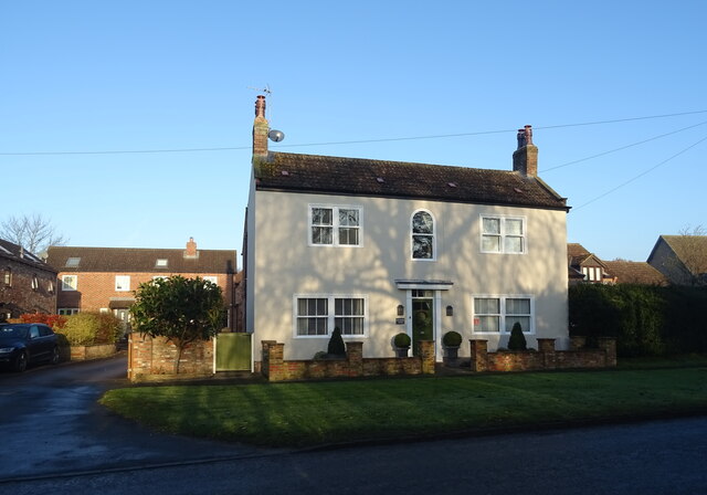
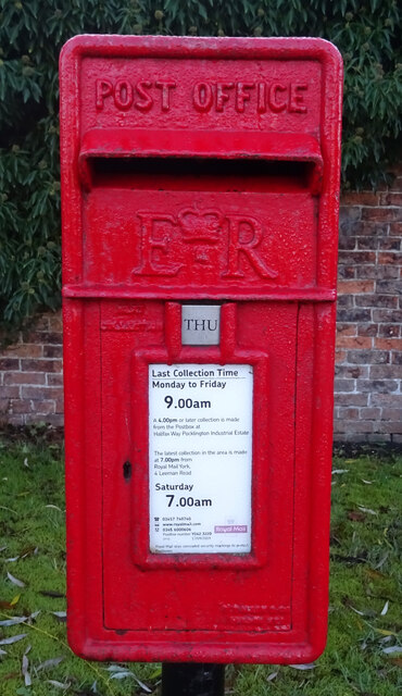
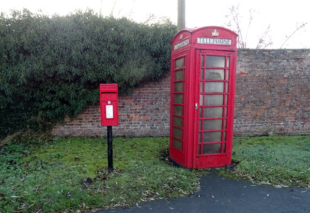
Allerthorpe Images

Images are sourced within 2km of 53.915952/-0.809068 or Grid Reference SE7847. Thanks to Geograph Open Source API. All images are credited.

Footpath south of Barmby Road
Sign for the Wellington Oak, Canal Head Currently closed.
Sign for the Wellington Oak, Canal Head
Currently closed.
Farm track off York Road (A1079)
York Road (A1079) Towards York.
York Road (A1079)
Towards York.
Approaching Pocklington Services on York Road (A1079)
KFC on Pocklington Services, York Road (A1079)
Service station, Pocklington Services
Entering Allerthorpe
The Old Chapel, Allerthorpe
St Botolph's Church Allerthorpe
Ivy House Farm,  Allerthorpe
Ivy House Farm, Allerthorpe
Elizabeth II postbox and telephone box, Allerthorpe Postbox No. YO42 322.
Elizabeth II postbox and telephone box, Allerthorpe
Postbox No. YO42 322.
Minor road, Allerthorpe Showing position of Postbox No. YO42 322.

See <a href="https://www.geograph.org.uk/photo/7047474">SE7847 : Elizabeth II postbox, Allerthorpe</a> for postbox.
Minor road, Allerthorpe
Showing position of Postbox No. YO42 322. See SE7847 : Elizabeth II postbox, Allerthorpe for postbox.
Elizabeth II postbox, Halifax Way, Pocklington Industrial Estate Postbox No. YO42 554.

See <a href="https://www.geograph.org.uk/photo/7047489">SE7848 : Halifax Way, Pocklington Industrial Estate</a> and <a href="https://www.geograph.org.uk/photo/7047492">SE7848 : Industrial unit, Pocklington Industrial Estate</a> for context.
Elizabeth II postbox, Halifax Way, Pocklington Industrial Estate
Halifax Way, Pocklington Industrial Estate Showing position of Postbox No. YO42 554.

See <a href="https://www.geograph.org.uk/photo/7047486">SE7848 : Elizabeth II postbox, Halifax Way, Pocklington Industrial Estate</a> for postbox.
Halifax Way, Pocklington Industrial Estate
Showing position of Postbox No. YO42 554. See SE7848 : Elizabeth II postbox, Halifax Way, Pocklington Industrial Estate for postbox.
Industrial unit, Pocklington Industrial Estate Showing position of Postbox No. YO42 554.

See <a href="https://www.geograph.org.uk/photo/7047486">SE7848 : Elizabeth II postbox, Halifax Way, Pocklington Industrial Estate</a> for postbox.
Industrial unit, Pocklington Industrial Estate
Showing position of Postbox No. YO42 554. See SE7848 : Elizabeth II postbox, Halifax Way, Pocklington Industrial Estate for postbox.
Show me another place!

Allerthorpe is located at Grid Ref: SE7847 (Lat: 53.915952, Lng: -0.809068)

Division: East Riding

Unitary Authority: East Riding of Yorkshire

Police Authority: Humberside

What 3 Words

///pods.nursery.amaze. Near Pocklington, East Yorkshire

Nearby Locations

Prick Moor Allerthorpe

Related Wikis

Allerthorpe

Allerthorpe is a village and civil parish in the East Riding of Yorkshire, England. It is situated approximately 1.5 miles (2.4 km) south-west from the...

Waplington

Waplington is a hamlet in the East Riding of Yorkshire, England. It is situated approximately 2 miles (3.2 km) south-west of the market town of Pocklington...
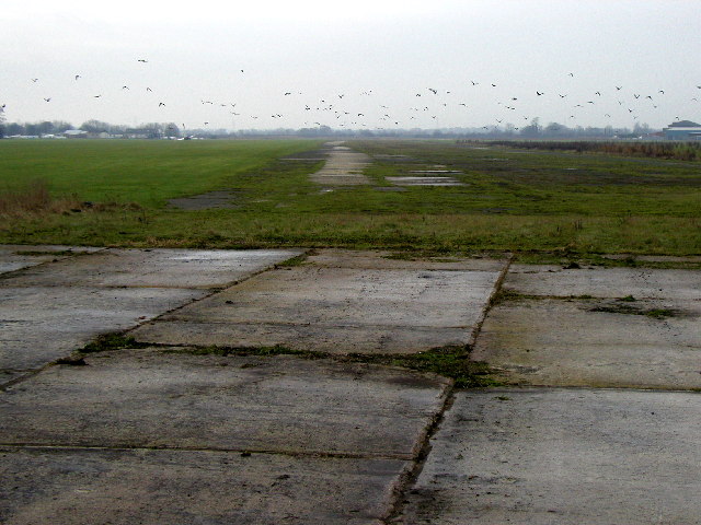
RAF Pocklington

Royal Air Force Pocklington or more simply RAF Pocklington was an operational flying station of the Royal Air Force during the Second World War, forming...

Barmby Moor

Barmby Moor is a village and civil parish in the East Riding of Yorkshire, England. It is situated approximately 1.5 miles (2.4 km) west of the market...

Nearby Amenities

Located within 500m of 53.915952,-0.809068
Allerthorpe
Is In: East Riding of Yorkshire, England, UK
Is In County: East Riding of Yorkshire
Place: village
Lat/Long: 53.916031/-0.8082173
Pub
The Plough Inn
Addr City: York
Addr Housename: The Plough Inn
Addr Postcode: YO42 4RW
Addr Street: Main Street
Addr Suburb: Allerthorpe
Lat/Long: 53.9163257/-0.809292
Bus Stop
Allerthorpe Main Road
Naptan AtcoCode: 2200YEZ01313
Naptan Bearing: SW
Naptan CommonName: Allerthorpe Main Road
Naptan Landmark: Village Hall
Naptan Street: Main Road
Naptan Verified: no
Source: naptan_import
Lat/Long: 53.9165578/-0.8070195
Telephone
Booth: K6
Covered: booth
Listed Status: Grade II
Operator: BT
Phone: +44 1759 302020
Lat/Long: 53.9166776/-0.8065568
Bench
Lat/Long: 53.9160269/-0.809343
Post Box
Collection Times: Mo-Fr 09:00; Sa 07:00
Post Box Type: lamp
Ref: YO42 322D
Royal Cypher: EIIR
Royal Cypher Wikidata: Q33102113
Lat/Long: 53.9166855/-0.8065114
Defibrillator
Defibrillator Location: outside Allerthorpe Village Hall, Main Street, Allerthorpe, YO42 4RW - facing Plough Inn
Emergency: defibrillator
Indoor: no
Lat/Long: 53.9159092/-0.8092845
Material: wood
Power: pole
Lat/Long: 53.913046/-0.804296
Material: wood
Power: pole
Lat/Long: 53.913285/-0.8055389
Material: wood
Power: pole
Lat/Long: 53.9133181/-0.8062429
Material: wood
Power: pole
Lat/Long: 53.9133662/-0.8072902
Material: wood
Power: pole
Lat/Long: 53.913431/-0.8087386
Material: wood
Power: pole
Transformer: distribution
Lat/Long: 53.9135642/-0.8099131
Material: wood
Power: pole
Lat/Long: 53.9136418/-0.8106025
Material: wood
Power: pole
Lat/Long: 53.9144166/-0.8110802
Material: wood
Power: pole
Lat/Long: 53.9152134/-0.8116639
Material: wood
Power: pole
Lat/Long: 53.9151391/-0.8115862
Line Management: branch
Material: wood
Power: pole
Lat/Long: 53.9157337/-0.81276
Material: wood
Power: pole
Lat/Long: 53.9163686/-0.8119232
Material: wood
Power: pole
Lat/Long: 53.9162049/-0.8137548
Material: wood
Power: pole
Lat/Long: 53.9166897/-0.8147989
Material: wood
Power: pole
Lat/Long: 53.9171666/-0.8157764
The data included in this document is from www.openstreetmap.org. The data is made available under ODbL.

Have you been to Allerthorpe?

Leave your review of Allerthorpe below (or comments, questions and feedback).