Allerford

Settlement in Somerset Somerset West and Taunton

England

Allerford

Norton Fitzwarren: Bronze Age enclosure, Iron Age hill fort Standing above the churchyard, the site was excavated in 1908 and again from 1968 to 1971. Evidence suggests Mesolithic and Neolithic activity here. An early Bronze Age enclosure dates from about 2000 BC; in the Iron Age this was superseded by a new rampart and ditch, creating an enclosed area of 5.2 hectares or 13 acres. The interior is now cultivated. Taunton Deane Borough Council has created a nature trail around the perimeter.
Norton Fitzwarren: Bronze Age enclosure, Iron Age hill fort Credit: Martin Bodman

Allerford is a small village located in the county of Somerset, England. Situated within the Exmoor National Park, it is nestled in a picturesque valley alongside the River Aller. The village is about three miles from the coastal town of Porlock and is surrounded by stunning natural beauty, making it a popular destination for tourists and nature enthusiasts.

The village itself is characterized by its charming thatched cottages, many of which date back to the 17th and 18th centuries. The Allerford Forge, a traditional blacksmith's workshop, is a notable feature of the village and adds to its historic feel. The village is also home to the West Somerset Rural Life Museum, which offers visitors a glimpse into the region's rural past.

Allerford is known for its strong sense of community, with regular events and activities taking place throughout the year. The annual Allerford and Selworthy Flower Show is a highlight, showcasing the talents of local gardeners and craftsmen. The village also has a pub, serving traditional food and providing a warm and welcoming atmosphere for residents and visitors alike.

For those seeking outdoor pursuits, Allerford offers easy access to the Exmoor National Park. The surrounding area is a paradise for hikers, cyclists, and horse riders, with numerous trails and bridleways to explore. The nearby Porlock Bay is a designated Site of Special Scientific Interest and offers opportunities for birdwatching and wildlife spotting.

Overall, Allerford is a quintessential English village, combining natural beauty, rich history, and a strong community spirit, making it an idyllic destination for those seeking a taste of rural Somerset.

If you have any feedback on the listing, please let us know in the comments section below.
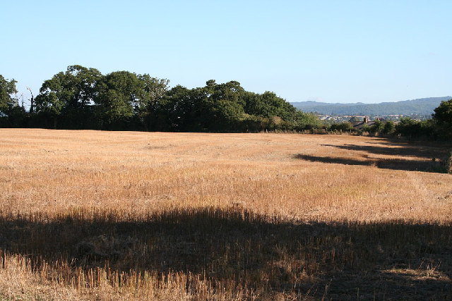
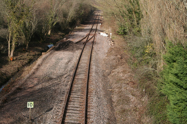
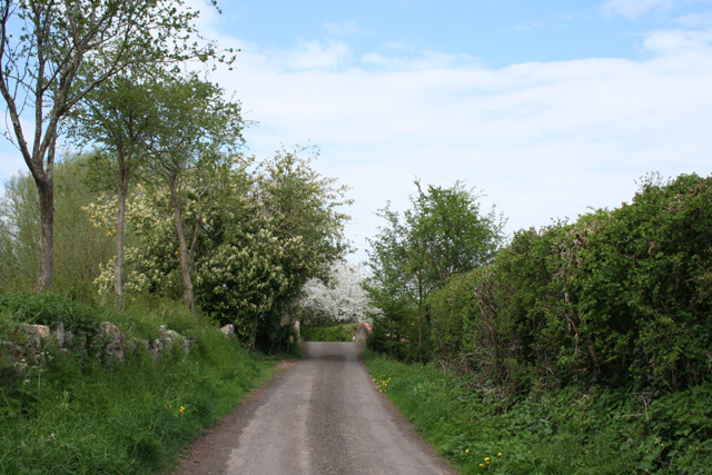
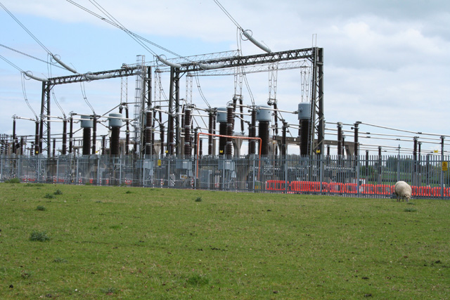
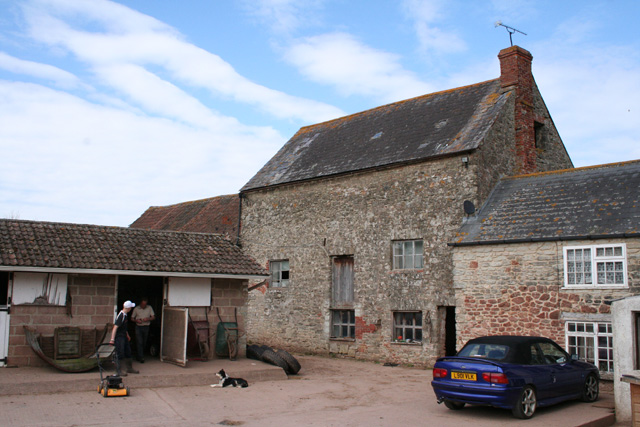
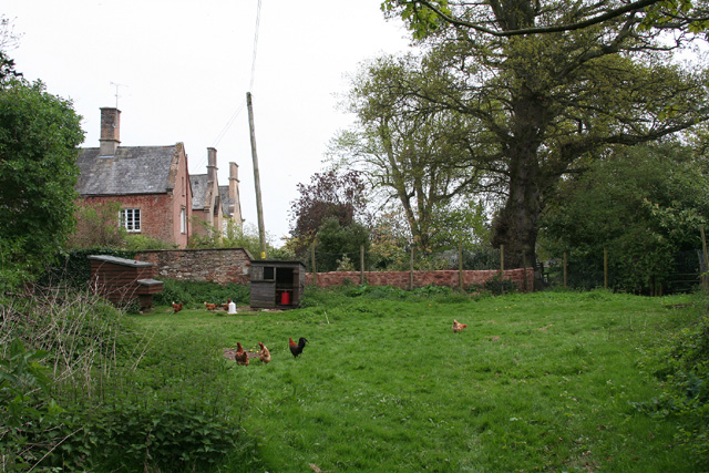
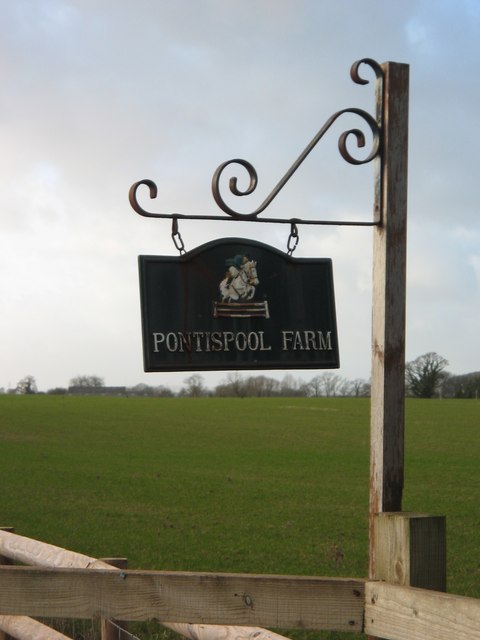
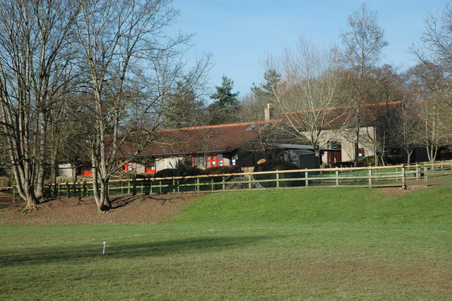
Allerford Images

Images are sourced within 2km of 51.019175/-3.169768 or Grid Reference ST1825. Thanks to Geograph Open Source API. All images are credited.

Norton Fitzwarren: Bronze Age enclosure, Iron Age hill fort Standing above the churchyard, the site was excavated in 1908 and again from 1968 to 1971. Evidence suggests Mesolithic and Neolithic activity here. An early Bronze Age enclosure dates from about 2000 BC; in the Iron Age this was superseded by a new rampart and ditch, creating an enclosed area of 5.2 hectares or 13 acres. The interior is now cultivated. Taunton Deane Borough Council has created a nature trail around the perimeter.
Norton Fitzwarren: Bronze Age enclosure, Iron Age hill fort
Standing above the churchyard, the site was excavated in 1908 and again from 1968 to 1971. Evidence suggests Mesolithic and Neolithic activity here. An early Bronze Age enclosure dates from about 2000 BC; in the Iron Age this was superseded by a new rampart and ditch, creating an enclosed area of 5.2 hectares or 13 acres. The interior is now cultivated. Taunton Deane Borough Council has created a nature trail around the perimeter.
Norton Bridge The West Somerset Railway heads for Minehead some 22 miles away...
Norton Bridge
The West Somerset Railway heads for Minehead some 22 miles away...
Pontispool cottages
Pontispool cottages
Hillfarance church
Hillfarance church
Norton Fitzwarren: West Somerset Railway Allerford Junction. A new point or switch has recently been laid in at an early stage in a long-term plan to provide a turning triangle for locomotives and for trains visiting the railway from other parts of the network. Seen from Norton Bridge
Norton Fitzwarren: West Somerset Railway
Allerford Junction. A new point or switch has recently been laid in at an early stage in a long-term plan to provide a turning triangle for locomotives and for trains visiting the railway from other parts of the network. Seen from Norton Bridge
Oake: ditching near Knapp Farm Clearing ditches on the side of the lane between Allerford and Hillfarrance
Oake: ditching near Knapp Farm
Clearing ditches on the side of the lane between Allerford and Hillfarrance
Oake: ditching near Knapp Farm On the lane between Allerford and Hillfarrance
Oake: ditching near Knapp Farm
On the lane between Allerford and Hillfarrance
Halse Water Culvert, West Somerset Railway Halse Water drains from the Brendon Hills and reaches the River Tone about a mile from this point where it passes under the West Somerset Railway.
Halse Water Culvert, West Somerset Railway
Halse Water drains from the Brendon Hills and reaches the River Tone about a mile from this point where it passes under the West Somerset Railway.
Oake: Victory Crossing The Taunton – Exeter railway crosses the minor road from Hele Manor to Hillfarrance here. A Virgin train disappears towards Taunton, to the right. Looking west-north-west. Nearby, behind the camera, stands the Victory Inn
Oake: Victory Crossing
The Taunton – Exeter railway crosses the minor road from Hele Manor to Hillfarrance here. A Virgin train disappears towards Taunton, to the right. Looking west-north-west. Nearby, behind the camera, stands the Victory Inn
Bishop’s Hull: lane to Longaller The lane crosses the river Tone on the bridge ahead. Beyond, a leat from the Tone once powered Longaller Mill which still stands with much of its machinery and waterwheel intact, although it now serves other purposes. The lane, though not for public use by vehicles, is open as a footpath to Norton Fitzwarren. Looking north
Bishop’s Hull: lane to Longaller
The lane crosses the river Tone on the bridge ahead. Beyond, a leat from the Tone once powered Longaller Mill which still stands with much of its machinery and waterwheel intact, although it now serves other purposes. The lane, though not for public use by vehicles, is open as a footpath to Norton Fitzwarren. Looking north
Bishop’s Hull: Taunton electricity sub-station Looking south east over a part of the complex near Upcott. The landscape nearby is dominated by overhead power lines
Bishop’s Hull: Taunton electricity sub-station
Looking south east over a part of the complex near Upcott. The landscape nearby is dominated by overhead power lines
Bradford-on-Tone: Bradford Mills Now incorporated into the Mill House Equestrian Centre, the watermill has been largely gutted of machinery according to the owner. It was once powered by a leat from the river Tone: the weir still exists. The mill is now surrounded by paddocks and stables and is on private property, photographed with permission
Bradford-on-Tone: Bradford Mills
Now incorporated into the Mill House Equestrian Centre, the watermill has been largely gutted of machinery according to the owner. It was once powered by a leat from the river Tone: the weir still exists. The mill is now surrounded by paddocks and stables and is on private property, photographed with permission
Oake: lane by The Old Rectory Looking west-north-west
Oake: lane by The Old Rectory
Looking west-north-west
Oake: old orchard at Monty’s Court Looking south-south-west
Oake: old orchard at Monty’s Court
Looking south-south-west
Norton Fitzwarren: free range at Monty’s Court Looking south east
Norton Fitzwarren: free range at Monty’s Court
Looking south east
Entrance to Pontispool Farm, Somerset
Norton Fitzwarren COE School Norton Fitzwarren school is a small school set in good grounds with associated playing fields. It has outdoor experiences for the children including  a 'Forest School' and ecology area.
Norton Fitzwarren COE School
Norton Fitzwarren school is a small school set in good grounds with associated playing fields. It has outdoor experiences for the children including a 'Forest School' and ecology area.
Field by Frethey Road This long, roughly rectangular field is bounded on two sides by Frethey Road, and a footpath crosses it diagonally from the camera position to cross the field boundary beside the largest tree.
Field by Frethey Road
This long, roughly rectangular field is bounded on two sides by Frethey Road, and a footpath crosses it diagonally from the camera position to cross the field boundary beside the largest tree.
Show me another place!

Allerford is located at Grid Ref: ST1825 (Lat: 51.019175, Lng: -3.169768)

Administrative County: Somerset

District: Somerset West and Taunton

Police Authority: Avon and Somerset

What 3 Words

///acid.hothouse.trendy. Near Bishops Lydeard, Somerset

Nearby Locations

Allerford

Related Wikis

Nearby Amenities

Located within 500m of 51.019175,-3.169768
Railway: level_crossing
Lat/Long: 51.0181822/-3.1673965
Post Box
Operator: Royal Mail
Operator Wikidata: Q638098
Post Box Type: lamp
Ref: TA4 163
Royal Cypher: EIIR
Royal Cypher Wikidata: Q33102113
Lat/Long: 51.0183021/-3.1685131
Railway: level_crossing
Lat/Long: 51.0181921/-3.167472
Power: tower
Source: bing
Lat/Long: 51.0184587/-3.1747609
Power: tower
Source: bing
Lat/Long: 51.018162/-3.1722431
Power: tower
Source: bing
Lat/Long: 51.0176459/-3.16815
Railway: buffer_stop
Lat/Long: 51.0222359/-3.1661664
Colour: grey
Height: 25.13
Material: metal
Operator: National Grid
Operator Wikidata: Q1465461
Power: tower
Ref: 4VW494
Source: bing
Start Date: 1975
Structure: lattice
Lat/Long: 51.0161696/-3.1661087
Power: tower
Source: bing
Lat/Long: 51.0176005/-3.1646129
Crossing: unmarked
Railway: crossing
Lat/Long: 51.0153518/-3.1729556
Crossing: unmarked
Railway: crossing
Lat/Long: 51.0153786/-3.1729991
Power: pole
Lat/Long: 51.0171498/-3.1656957
Power: pole
Lat/Long: 51.0172795/-3.1670783
Power: pole
Lat/Long: 51.017392/-3.1639769
Power: pole
Lat/Long: 51.0174198/-3.1685302
Power: pole
Lat/Long: 51.0175697/-3.1700429
Power: pole
Lat/Long: 51.0176817/-3.171359
Power: pole
Lat/Long: 51.0178598/-3.1731398
Power: pole
Lat/Long: 51.017947/-3.1741443
Power: pole
Lat/Long: 51.0181099/-3.1758173
Allerford
Is In: Somerset, England, UK
Place: hamlet
Lat/Long: 51.0185985/-3.1695031
Give Way
Direction: backward
Lat/Long: 51.018676/-3.169413
Give Way
Lat/Long: 51.0195458/-3.1716679
Power: pole
Lat/Long: 51.0148794/-3.1678193
Power: pole
Lat/Long: 51.0154695/-3.166485
Give Way
Direction: backward
Lat/Long: 51.0223613/-3.1665686
The data included in this document is from www.openstreetmap.org. The data is made available under ODbL.

Have you been to Allerford?

Leave your review of Allerford below (or comments, questions and feedback).