Allerford
Settlement in Somerset Somerset West and Taunton
England
Allerford
Allerford is a charming village located in the county of Somerset, England. Situated within the Exmoor National Park, it is known for its picturesque setting and traditional architecture. The village lies a few miles inland from the coastal town of Porlock, nestled in a valley alongside the River Aller.
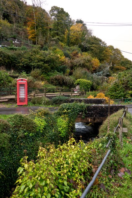
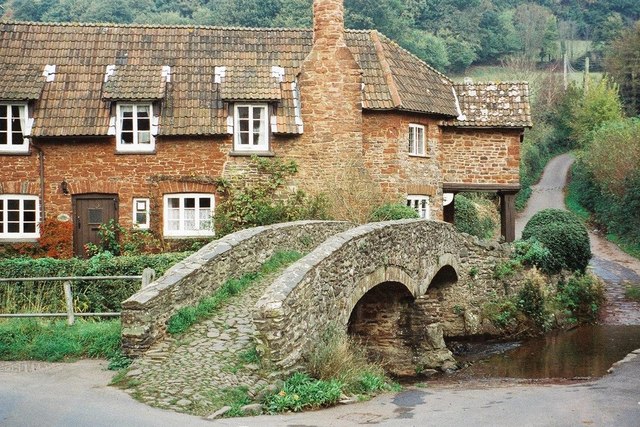
One of the notable landmarks in Allerford is the Packhorse Bridge, a 15th-century stone bridge that crosses the river. This historic structure is not only an important crossing point but also a popular spot for visitors to enjoy the beautiful surroundings and take photographs.
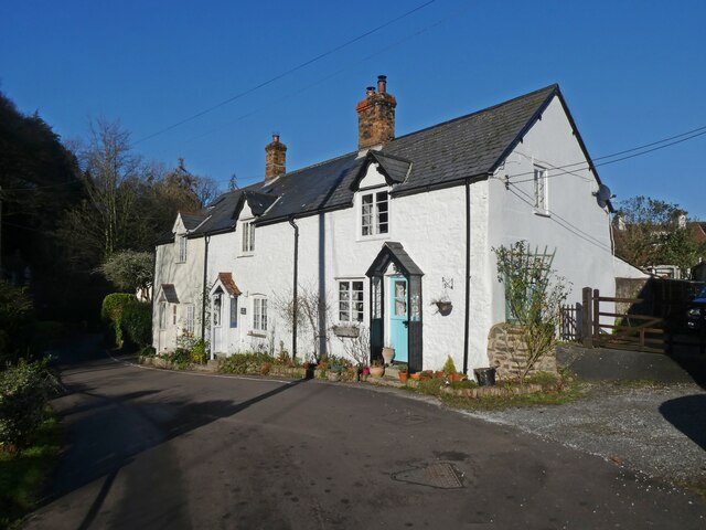
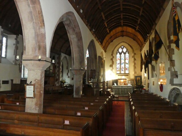
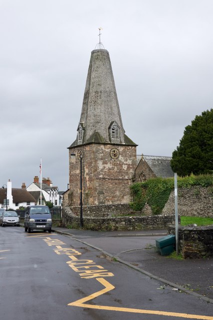
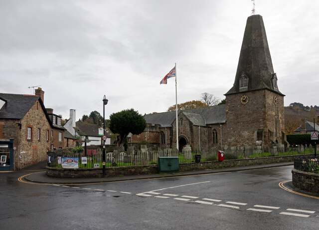
The village itself consists of a cluster of traditional thatched cottages, many of which date back to the 17th century. These quaint buildings add to the village's timeless appeal and give a glimpse into its rich history. Allerford also boasts a charming village hall and a small church, St. Michael's, which is known for its distinctive tower.
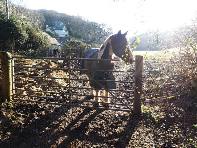
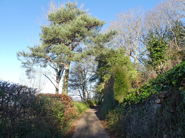
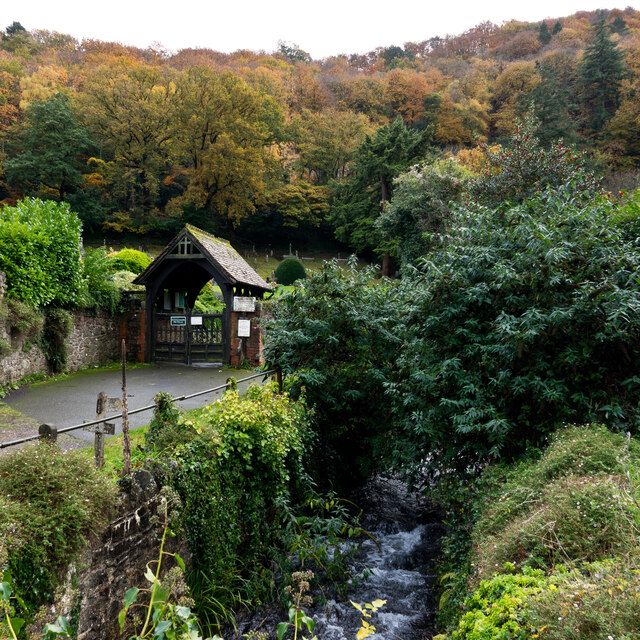
Nature enthusiasts will appreciate the village's proximity to the Exmoor National Park, offering ample opportunities for outdoor activities such as hiking, cycling, and wildlife spotting. The park's diverse landscapes, including moorlands, woodlands, and rivers, provide a haven for various wildlife species.
Allerford provides a peaceful and tranquil setting for residents and visitors alike. The village is a haven for those seeking a rural escape and a chance to experience the natural beauty of the Somerset countryside. With its idyllic charm and historic character, Allerford truly captures the essence of a quintessential English village.
If you have any feedback on the listing, please let us know in the comments section below.
Allerford Images
Images are sourced within 2km of 51.210233/-3.571892 or Grid Reference SS9046. Thanks to Geograph Open Source API. All images are credited.


Allerford is located at Grid Ref: SS9046 (Lat: 51.210233, Lng: -3.571892)
Administrative County: Somerset
District: Somerset West and Taunton
Police Authority: Avon and Somerset
What 3 Words
///solves.frown.olive. Near Porlock, Somerset
Nearby Locations
Related Wikis

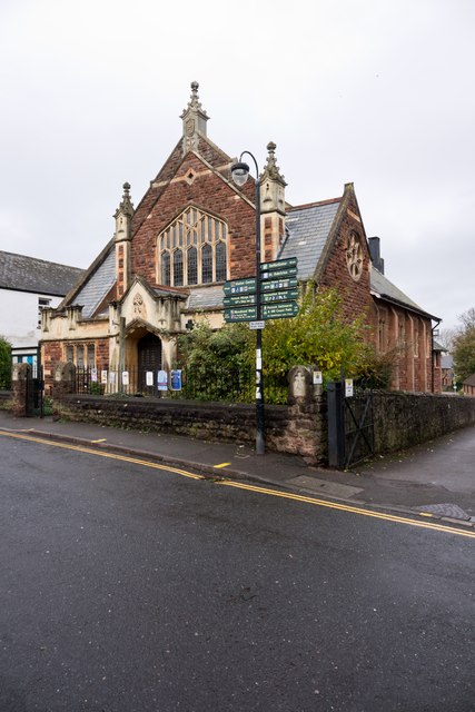
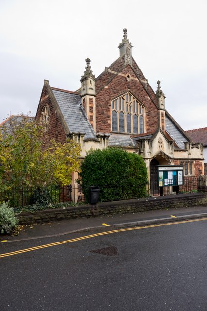
West Somerset Rural Life Museum and Victorian School
The West Somerset Rural Life Museum is a small museum in Allerford, Somerset, England. The building was built in 1821 as the village school and was closed...

Coleridge Way
The Coleridge Way is a 51-mile (82 km) long-distance trail in Somerset and Devon, England. It was opened in April 2005, and the route links several sites...
Allerford
Allerford is a village in the county of Somerset, England, located within Exmoor National Park, and is part of the parish of Selworthy in the district...

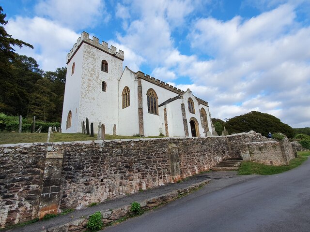
Lynch Chapel Of Ease
The Anglican Lynch Chapel Of Ease in West Lynch, Selworthy, Somerset, England was built around 1530. It is a Grade II* listed building. == History == The...

Holnicote Estate
Holnicote (pronounced "Hunnicutt") in the parish of Selworthy, West Somerset, England, is a historic estate consisting of 12,420 acres (5,026 hectares...
River Aller
The River Aller is a small river on Exmoor in Somerset, England. It rises as several small streams around Tivington and Huntscott and flows through the...

Selworthy
Selworthy is a small village and civil parish 5 kilometres (3 mi) from Minehead in Somerset, England. It is located in the National Trust's Holnicote Estate...

Bury Castle, Selworthy
Bury Castle is an Iron Age hillfort near Selworthy, Somerset, England. It has been designated as a scheduled monument. == History == Bury Castle was built...
Nearby Amenities
Located within 500m of 51.210233,-3.571892Have you been to Allerford?
Leave your review of Allerford below (or comments, questions and feedback).