Allerdene
Settlement in Durham
England
Allerdene
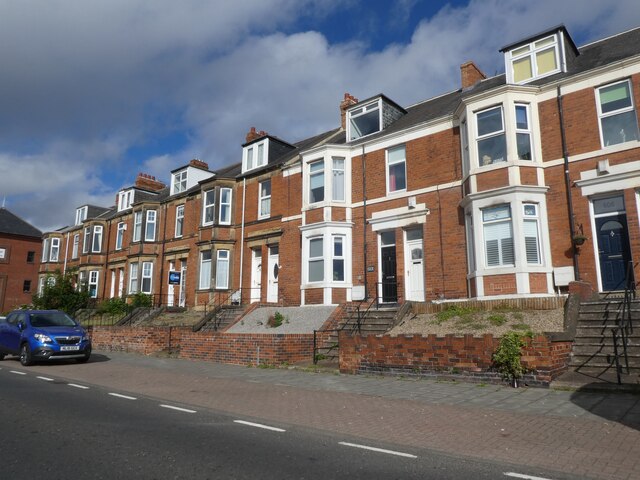
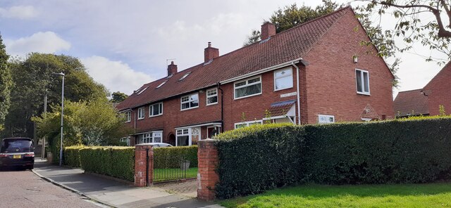
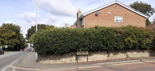
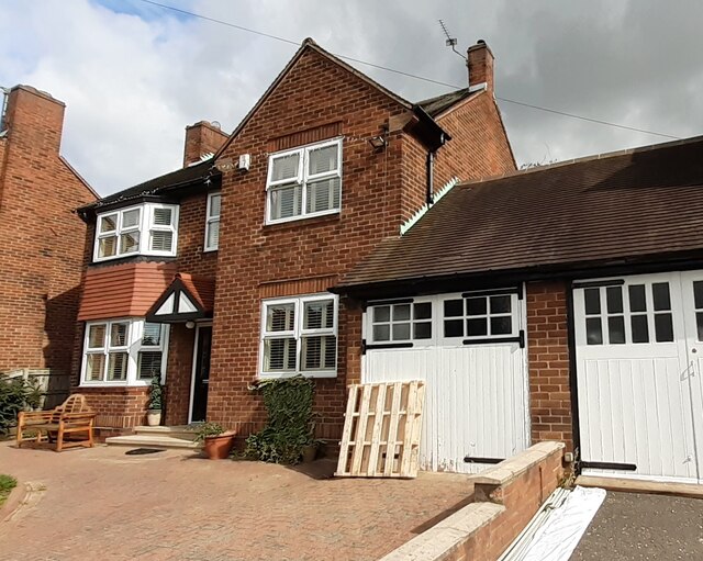
Allerdene is a small residential area located in County Durham, England. Situated approximately 2 miles south of Gateshead town center, it falls within the Metropolitan Borough of Gateshead. The neighborhood primarily consists of semi-detached and terraced houses, offering a peaceful and close-knit community atmosphere.
Allerdene benefits from its proximity to various amenities and services. There are several local shops, convenience stores, and supermarkets within walking distance, catering to residents' day-to-day needs. The area is also well-served by public transportation, with regular bus routes connecting Allerdene to nearby towns and cities.
Education is a priority in Allerdene, with several local schools providing education for children of all ages. Allerdene Primary School is highly regarded within the community and offers excellent facilities and a nurturing learning environment.
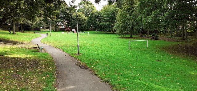
For recreational activities, residents can enjoy the nearby Allerdene Park, which provides green spaces for outdoor activities and leisurely walks. The park offers a children's play area, making it a popular spot for families.
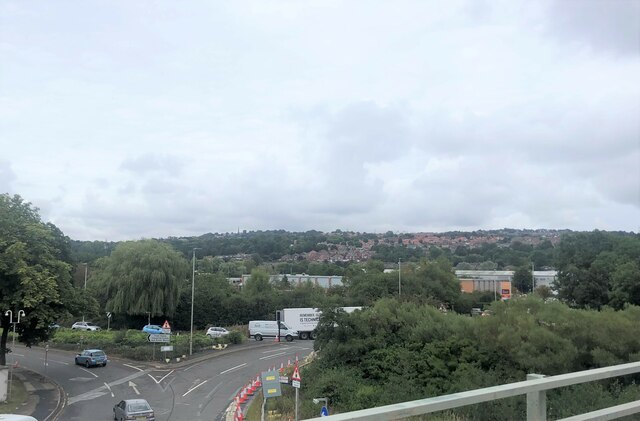
Allerdene's location also offers easy access to attractions and amenities in the surrounding area. The vibrant town center of Gateshead is just a short distance away, providing a wide range of shopping, dining, and entertainment options. Additionally, the city of Newcastle upon Tyne is easily accessible, offering a wealth of cultural attractions, nightlife, and sporting events.
Overall, Allerdene offers a peaceful residential area with easy access to amenities and nearby towns, making it an attractive place to live for families and professionals alike.
If you have any feedback on the listing, please let us know in the comments section below.
Allerdene Images
Images are sourced within 2km of 54.922352/-1.598982 or Grid Reference NZ2558. Thanks to Geograph Open Source API. All images are credited.


Allerdene is located at Grid Ref: NZ2558 (Lat: 54.922352, Lng: -1.598982)
Unitary Authority: Gateshead
Police Authority: Northumbria
What 3 Words
///glaze.chairs.lifted. Near Lamesley, Tyne & Wear
Related Wikis

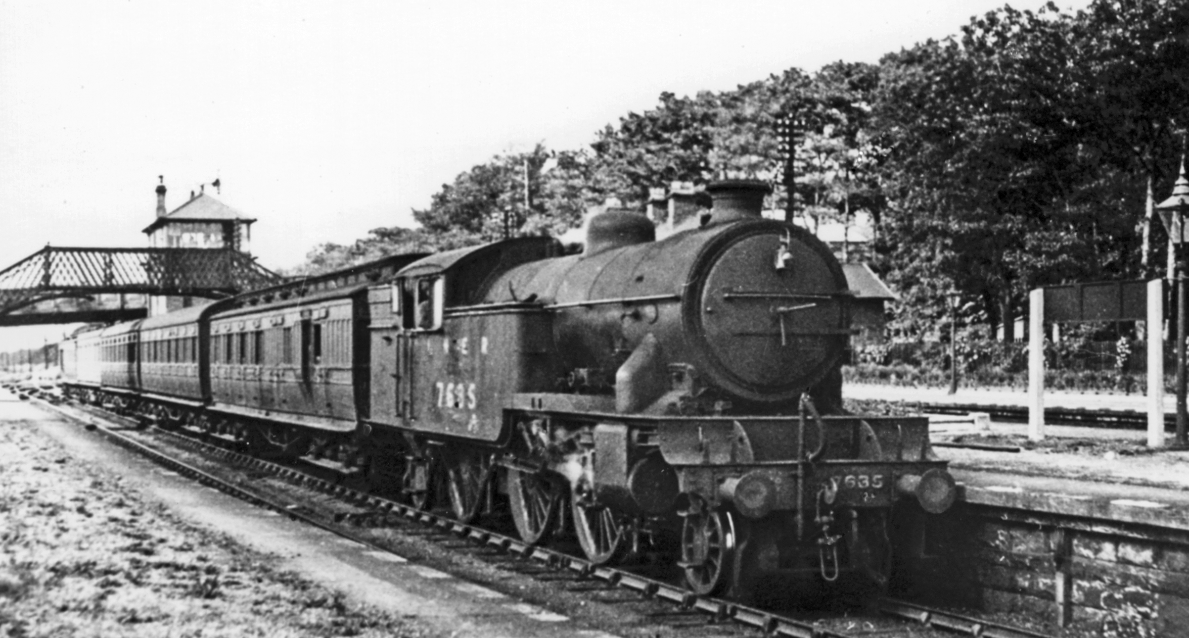
Lamesley railway station
Lamesley railway station served the village of Lamesley, Tyne and Wear, England from 1868 to 1959 on the East Coast Main Line. == History == The station...

Grace College, Gateshead
Grace College (formerly Joseph Swan School, then Joseph Swan Academy) is a mixed secondary school with academy status situated in south Gateshead, England...

Team Colliery
Team Colliery is a hamlet and estate in the Metropolitan Borough of Gateshead, Tyne and Wear, England. The estate is made up of 23 private and rented houses...

Low Fell
Low Fell is a suburb of Gateshead situated in the Metropolitan Borough of Gateshead in Tyne and Wear, England. Built predominantly on sandstone, grindstone...

Lamesley
Lamesley is a village and civil parish in the Metropolitan Borough of Gateshead, Tyne and Wear, England. The population of the civil parish at the 2011...

Tyne Yard
Tyne Yard (TY) is a railway yard in Birtley, England, on the East Coast Main Line, operated by DB Cargo UK. The yard is the major freight yard of the North...

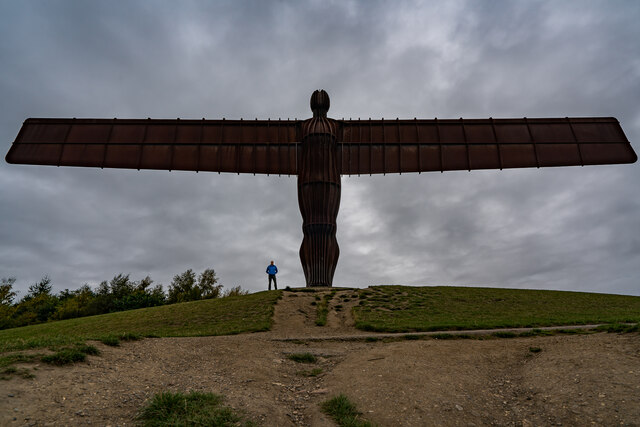
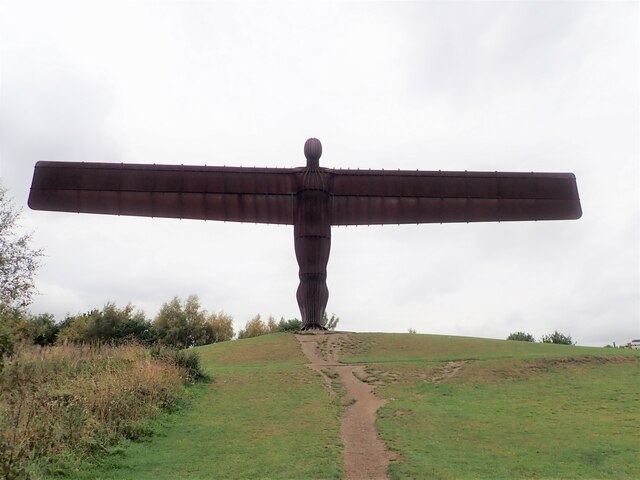
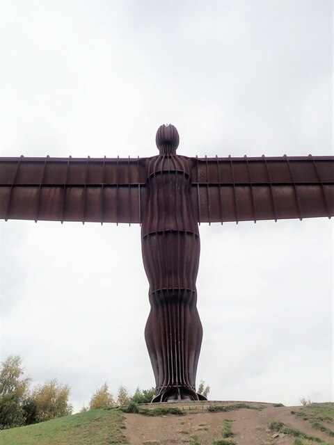
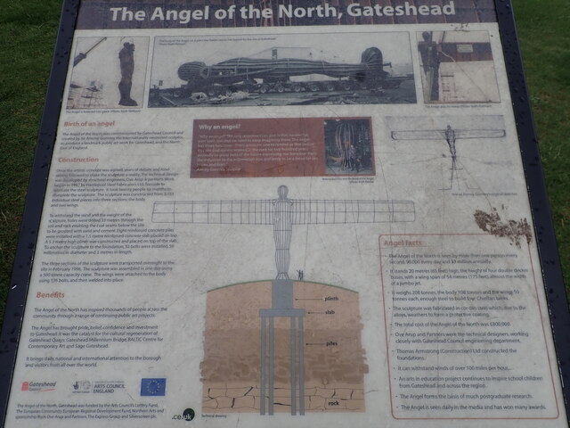
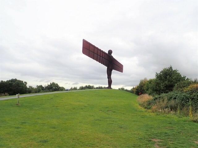
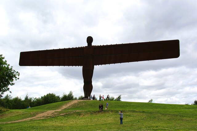
Angel of the North
The Angel of the North is a contemporary sculpture by Antony Gormley, located in Gateshead, Tyne and Wear, England. Completed in 1998, it is believed to...
Low Fell railway station
Low Fell railway station served the Low Fell area of Gateshead between 1868 and 1952. == History == The station was opened by the North Eastern Railway...
Nearby Amenities
Located within 500m of 54.922352,-1.598982Have you been to Allerdene?
Leave your review of Allerdene below (or comments, questions and feedback).