Allercombe

Settlement in Devon East Devon

England

Allercombe

Rockbeare Hill New Trig Point Flush Bracket S5507
Rockbeare Hill New Trig Point Flush Bracket S5507 Credit: thejackrustles

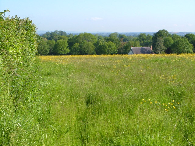
Allercombe is a small village located in the county of Devon, England. Situated on the eastern side of the county, it is part of the East Devon district. The village is surrounded by picturesque countryside and is known for its tranquil and rural setting.

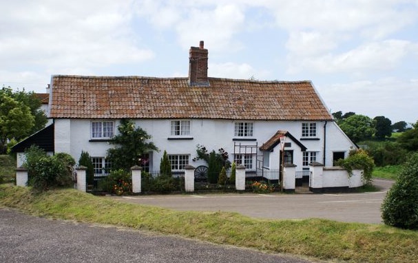
Allercombe is home to a close-knit community, with a population of around 300 residents. Despite its small size, the village offers a range of amenities to cater to the needs of its inhabitants. These include a local pub, a village hall, and a small convenience store.

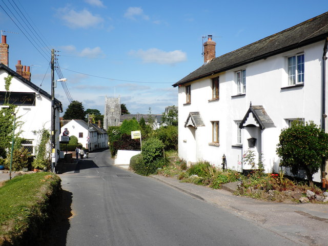
The village is well-connected to nearby towns and cities, with the town of Exeter approximately 8 miles to the west. This proximity to a larger urban center provides residents with access to a wider range of services and employment opportunities.

Allercombe enjoys a rich history, with evidence of human habitation dating back to ancient times. The area has seen various archaeological discoveries, including Roman artifacts and medieval remains. The village also boasts several historic buildings, such as the Allercombe Manor, a Grade II listed manor house that dates back to the 17th century.

The surrounding countryside offers ample opportunities for outdoor activities, including walking, cycling, and horse riding. The area is also known for its beautiful landscapes and is popular with nature enthusiasts and photographers.

Overall, Allercombe is a charming and peaceful village in Devon, offering a tight-knit community, a range of amenities, and a picturesque rural setting.

If you have any feedback on the listing, please let us know in the comments section below.
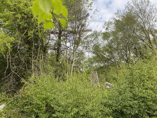
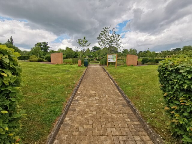
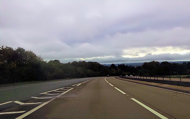
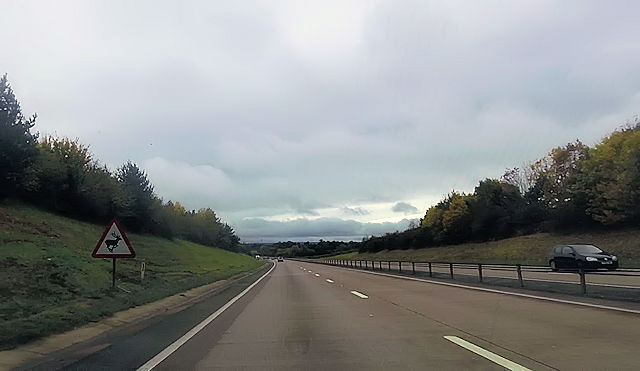
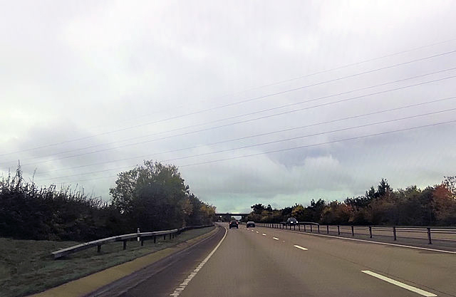
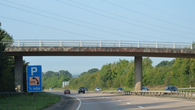
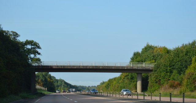
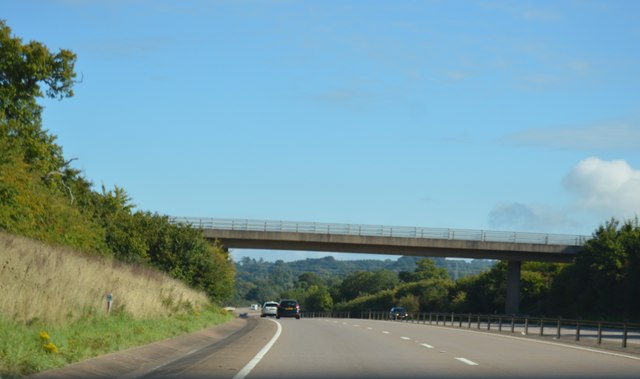
Allercombe Images

Images are sourced within 2km of 50.742574/-3.35066 or Grid Reference SY0494. Thanks to Geograph Open Source API. All images are credited.

Rockbeare Hill New Trig Point Flush Bracket S5507
Whimple :  East Devon Crematorium Looking across the car park of East Devon Crematorium.
Whimple : East Devon Crematorium
Looking across the car park of East Devon Crematorium.
Whimple :  East Devon Crematorium A wildlife and memorial garden in the crematorium grounds.
Whimple : East Devon Crematorium
A wildlife and memorial garden in the crematorium grounds.
Whimple :  East Devon Crematorium A road heading through the crematorium.
Whimple : East Devon Crematorium
A road heading through the crematorium.
Whimple :  East Devon Crematorium Only Fools and Hearses and a Reliant Robin to bring in the coffin based on the popular BBC comedy Only Fools and Horses.
Whimple : East Devon Crematorium
Only Fools and Hearses and a Reliant Robin to bring in the coffin based on the popular BBC comedy Only Fools and Horses.
Pedestrian bridge at Daisymount junction
Slip road joining at Daisymount junction
A30 west near Solar Farm
A30 passing under power lines Gribble Lane bridge in distance
A30 passing under power lines
Gribble Lane bridge in distance
Footbridge over the A30 The A30 is 284 miles long, from central London to Land's End, historically known as the Great South West Road. The M3 and A303 now are the preferred route for most travellers. Only part of the road is still a trunk road.
Wikipedia: <span class="nowrap"><a title="http://en.wikipedia.org/wiki/A30_road" rel="nofollow ugc noopener" href="http://en.wikipedia.org/wiki/A30_road">Link</a><img style="margin-left:2px;" alt="External link" title="External link - shift click to open in new window" src="https://s1.geograph.org.uk/img/external.png" width="10" height="10"/></span>
Footbridge over the A30
The A30 is 284 miles long, from central London to Land's End, historically known as the Great South West Road. The M3 and A303 now are the preferred route for most travellers. Only part of the road is still a trunk road. Wikipedia: LinkExternal link
Sign, A30
Sign, A30
Rewe Lane Bridge, A30 The A30 is 284 miles long, from central London to Land's End, historically known as the Great South West Road. The M3 and A303 now are the preferred route for most travellers. Only part of the road is still a trunk road.
Wikipedia: <span class="nowrap"><a title="http://en.wikipedia.org/wiki/A30_road" rel="nofollow ugc noopener" href="http://en.wikipedia.org/wiki/A30_road">Link</a><img style="margin-left:2px;" alt="External link" title="External link - shift click to open in new window" src="https://s1.geograph.org.uk/img/external.png" width="10" height="10"/></span>
Rewe Lane Bridge, A30
The A30 is 284 miles long, from central London to Land's End, historically known as the Great South West Road. The M3 and A303 now are the preferred route for most travellers. Only part of the road is still a trunk road. Wikipedia: LinkExternal link
Gribble Lane Bridge, A30 The A30 is 284 miles long, from central London to Land's End, historically known as the Great South West Road. The M3 and A303 now are the preferred route for most travellers. Only part of the road is still a trunk road.
Wikipedia: <span class="nowrap"><a title="http://en.wikipedia.org/wiki/A30_road" rel="nofollow ugc noopener" href="http://en.wikipedia.org/wiki/A30_road">Link</a><img style="margin-left:2px;" alt="External link" title="External link - shift click to open in new window" src="https://s1.geograph.org.uk/img/external.png" width="10" height="10"/></span>
Gribble Lane Bridge, A30
The A30 is 284 miles long, from central London to Land's End, historically known as the Great South West Road. The M3 and A303 now are the preferred route for most travellers. Only part of the road is still a trunk road. Wikipedia: LinkExternal link
Rewe Lane Bridge, A30 The A30 is 284 miles long, from central London to Land's End, historically known as the Great South West Road. The M3 and A303 now are the preferred route for most travellers. Only part of the road is still a trunk road.
Wikipedia: <span class="nowrap"><a title="http://en.wikipedia.org/wiki/A30_road" rel="nofollow ugc noopener" href="http://en.wikipedia.org/wiki/A30_road">Link</a><img style="margin-left:2px;" alt="External link" title="External link - shift click to open in new window" src="https://s1.geograph.org.uk/img/external.png" width="10" height="10"/></span>
Rewe Lane Bridge, A30
The A30 is 284 miles long, from central London to Land's End, historically known as the Great South West Road. The M3 and A303 now are the preferred route for most travellers. Only part of the road is still a trunk road. Wikipedia: LinkExternal link
Footbridge over the A30 The A30 is 284 miles long, from central London to Land's End, historically known as the Great South West Road. The M3 and A303 now are the preferred route for most travellers. Only part of the road is still a trunk road.
Wikipedia: <span class="nowrap"><a title="http://en.wikipedia.org/wiki/A30_road" rel="nofollow ugc noopener" href="http://en.wikipedia.org/wiki/A30_road">Link</a><img style="margin-left:2px;" alt="External link" title="External link - shift click to open in new window" src="https://s1.geograph.org.uk/img/external.png" width="10" height="10"/></span>
Footbridge over the A30
The A30 is 284 miles long, from central London to Land's End, historically known as the Great South West Road. The M3 and A303 now are the preferred route for most travellers. Only part of the road is still a trunk road. Wikipedia: LinkExternal link
Lane to Manor Cross Passing the grounds of Rockbeare Manor on the left. The signpost at Manor Cross can just be seen about 150 metres ahead.
Lane to Manor Cross
Passing the grounds of Rockbeare Manor on the left. The signpost at Manor Cross can just be seen about 150 metres ahead.
Show me another place!

Allercombe is located at Grid Ref: SY0494 (Lat: 50.742574, Lng: -3.35066)

Administrative County: Devon

District: East Devon

Police Authority: Devon and Cornwall

What 3 Words

///memory.shredding.stitch. Near Whimple, Devon

Nearby Locations

Allercombe

Related Wikis

Marsh Green, Devon

Marsh Green is a small village about 8 miles east of Exeter and 4 miles west of Ottery St Mary in East Devon, England, at OS grid reference SY042936....

Aller Grove

Aller Grove is a village in Devon, England. == References ==

Allercombe

Allercombe is a hamlet in east Devon, England. It lies just south of the A30 road between the villages of Whimple and Aylesbeare.

West Hill, Devon

West Hill is a village in the East Devon district of Devon, England. The village lies approximately 2 miles south west of Ottery St Mary, its nearest town...

Rockbeare

Rockbeare is a village and civil parish in the East Devon district of the county of Devon, England, located near Exeter Airport and the city of Exeter...

Aylesbeare

Aylesbeare is a village and civil parish in the East Devon district of Devon, England, 8 miles (13 km) east of Exeter. According to the 2001 census the...

Whimple

Whimple is a village and civil parish in East Devon in the English county of Devon, approximately 9 miles (14 km) due east of the city of Exeter, and 3...

Belbury Castle

Belbury Castle is the name given to an Iron Age earthwork, probably a hill fort or livestock enclosure, close to Ottery St Mary in Devon, England. The...

Nearby Amenities

Located within 500m of 50.742574,-3.35066
Allercombe
Place: hamlet
Lat/Long: 50.7429055/-3.3486466
Brand: National Grid
Brand Wikidata: Q1465461
Material: wood
Operator: National Grid Electricity Distribution Plc
Operator Old: Western Power Distribution
Operator Wikidata: Q7988183
Owner: National Grid Electricity Distribution (South West) Plc
Owner Wikidata: Q114397866
Power: pole
Lat/Long: 50.7385338/-3.3527634
Brand: National Grid
Brand Wikidata: Q1465461
Location Transition: yes
Material: wood
Operator: National Grid Electricity Distribution Plc
Operator Old: Western Power Distribution
Operator Wikidata: Q7988183
Owner: National Grid Electricity Distribution (South West) Plc
Owner Wikidata: Q114397866
Power: pole
Lat/Long: 50.7388337/-3.3515865
Power: pole
Lat/Long: 50.7401495/-3.3458542
Brand: National Grid
Brand Wikidata: Q1465461
Location Transition: yes
Material: wood
Operator: National Grid Electricity Distribution Plc
Operator Old: Western Power Distribution
Operator Wikidata: Q7988183
Owner: National Grid Electricity Distribution (South West) Plc
Owner Wikidata: Q114397866
Power: pole
Lat/Long: 50.7389262/-3.3514036
Brand: National Grid
Brand Wikidata: Q1465461
Material: wood
Operator: National Grid Electricity Distribution Plc
Operator Old: Western Power Distribution
Operator Wikidata: Q7988183
Owner: National Grid Electricity Distribution (South West) Plc
Owner Wikidata: Q114397866
Power: pole
Lat/Long: 50.7392292/-3.3499441
Power: pole
Lat/Long: 50.7395273/-3.3483226
Power: pole
Lat/Long: 50.7398482/-3.3469146
Power: pole
Lat/Long: 50.7405063/-3.344351
Post Box
Royal Cypher: EIIR
Royal Cypher Wikidata: Q33102113
Lat/Long: 50.7428107/-3.3482328
Brand: National Grid
Brand Wikidata: Q1465461
Material: wood
Operator: National Grid Electricity Distribution Plc
Operator Old: Western Power Distribution
Operator Wikidata: Q7988183
Owner: National Grid Electricity Distribution (South West) Plc
Owner Wikidata: Q114397866
Power: pole
Lat/Long: 50.7409593/-3.3522557
Brand: National Grid
Brand Wikidata: Q1465461
Material: wood
Operator: National Grid Electricity Distribution Plc
Operator Old: Western Power Distribution
Operator Wikidata: Q7988183
Owner: National Grid Electricity Distribution (South West) Plc
Owner Wikidata: Q114397866
Power: pole
Lat/Long: 50.7387561/-3.3516414
Brand: National Grid
Brand Wikidata: Q1465461
Design: h-frame
Material: wood
Operator: National Grid Electricity Distribution Plc
Operator Old: Western Power Distribution
Operator Wikidata: Q7988183
Owner: National Grid Electricity Distribution (South West) Plc
Owner Wikidata: Q114397866
Power: pole
Lat/Long: 50.7388214/-3.351561
Brand: National Grid
Brand Wikidata: Q1465461
Design: h-frame
Location Transition: yes
Material: wood
Operator: National Grid Electricity Distribution Plc
Operator Old: Western Power Distribution
Operator Wikidata: Q7988183
Owner: National Grid Electricity Distribution (South West) Plc
Owner Wikidata: Q114397866
Power: pole
Lat/Long: 50.7391864/-3.3515596
Brand: National Grid
Brand Wikidata: Q1465461
Material: wood
Operator: National Grid Electricity Distribution Plc
Operator Old: Western Power Distribution
Operator Wikidata: Q7988183
Owner: National Grid Electricity Distribution (South West) Plc
Owner Wikidata: Q114397866
Power: pole
Lat/Long: 50.7399774/-3.3519459
Brand: National Grid
Brand Wikidata: Q1465461
Material: wood
Operator: National Grid Electricity Distribution Plc
Operator Old: Western Power Distribution
Operator Wikidata: Q7988183
Owner: National Grid Electricity Distribution (South West) Plc
Owner Wikidata: Q114397866
Power: pole
Lat/Long: 50.7406801/-3.3521712
Brand: National Grid
Brand Wikidata: Q1465461
Material: wood
Operator: National Grid Electricity Distribution Plc
Operator Old: Western Power Distribution
Operator Wikidata: Q7988183
Owner: National Grid Electricity Distribution (South West) Plc
Owner Wikidata: Q114397866
Power: pole
Lat/Long: 50.74132/-3.3523777
Brand: National Grid
Brand Wikidata: Q1465461
Material: wood
Operator: National Grid Electricity Distribution Plc
Operator Old: Western Power Distribution
Operator Wikidata: Q7988183
Owner: National Grid Electricity Distribution (South West) Plc
Owner Wikidata: Q114397866
Power: pole
Lat/Long: 50.7418717/-3.3525467
Brand: National Grid
Brand Wikidata: Q1465461
Material: wood
Operator: National Grid Electricity Distribution Plc
Operator Old: Western Power Distribution
Operator Wikidata: Q7988183
Owner: National Grid Electricity Distribution (South West) Plc
Owner Wikidata: Q114397866
Power: pole
Lat/Long: 50.7425574/-3.3527666
Brand: National Grid
Brand Wikidata: Q1465461
Material: wood
Operator: National Grid Electricity Distribution Plc
Operator Old: Western Power Distribution
Operator Wikidata: Q7988183
Owner: National Grid Electricity Distribution (South West) Plc
Owner Wikidata: Q114397866
Power: pole
Lat/Long: 50.7431888/-3.3529785
Brand: National Grid
Brand Wikidata: Q1465461
Material: wood
Operator: National Grid Electricity Distribution Plc
Operator Old: Western Power Distribution
Operator Wikidata: Q7988183
Owner: National Grid Electricity Distribution (South West) Plc
Owner Wikidata: Q114397866
Power: pole
Lat/Long: 50.7438592/-3.3532119
Brand: National Grid
Brand Wikidata: Q1465461
Material: wood
Operator: National Grid Electricity Distribution Plc
Operator Old: Western Power Distribution
Operator Wikidata: Q7988183
Owner: National Grid Electricity Distribution (South West) Plc
Owner Wikidata: Q114397866
Power: pole
Lat/Long: 50.7444787/-3.3534157
Brand: National Grid
Brand Wikidata: Q1465461
Material: wood
Operator: National Grid Electricity Distribution Plc
Operator Old: Western Power Distribution
Operator Wikidata: Q7988183
Owner: National Grid Electricity Distribution (South West) Plc
Owner Wikidata: Q114397866
Power: pole
Lat/Long: 50.7450948/-3.3536142
Brand: National Grid
Brand Wikidata: Q1465461
Material: wood
Operator: National Grid Electricity Distribution Plc
Operator Old: Western Power Distribution
Operator Wikidata: Q7988183
Owner: National Grid Electricity Distribution (South West) Plc
Owner Wikidata: Q114397866
Power: pole
Lat/Long: 50.7463372/-3.3540192
Give Way
Direction: backward
Lat/Long: 50.7396701/-3.3535988
The data included in this document is from www.openstreetmap.org. The data is made available under ODbL.

Have you been to Allercombe?

Leave your review of Allercombe below (or comments, questions and feedback).