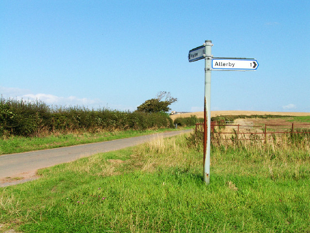
Allerby

Settlement in Cumberland Allerdale

England

Allerby

Road from Allonby Allonby road junction
Road from Allonby Credit: P Gaskell

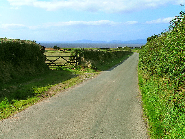
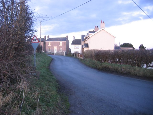
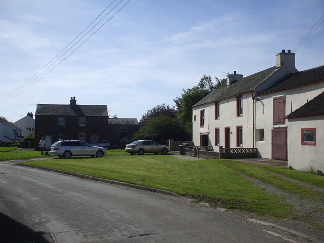
Allerby is a small village located in the county of Cumberland, in the northwest region of England. Situated within the picturesque Lake District National Park, Allerby is surrounded by stunning natural beauty, with rolling hills, lush green fields, and charming countryside views.

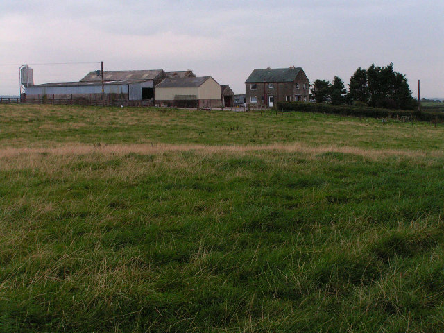
The village itself is home to a tight-knit community, comprising of approximately 200 residents. Allerby is known for its peaceful and tranquil atmosphere, making it an ideal place for those seeking a rural and secluded lifestyle. The village consists mainly of traditional stone-built houses, adding to its quaint and idyllic charm.

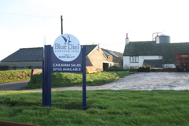
While Allerby does not have its own amenities such as shops or schools, it is located in close proximity to neighboring villages that offer these facilities. The village benefits from a strong sense of community spirit, with regular social events and gatherings organized by the residents.

For outdoor enthusiasts, Allerby offers an abundance of activities and attractions. The Lake District National Park provides ample opportunities for hiking, cycling, and exploring the scenic surroundings. Nearby, the picturesque Bassenthwaite Lake offers sailing, fishing, and birdwatching opportunities.

Allerby is easily accessible by road, with the A66 and A591 nearby, connecting the village to larger towns and cities in the region. The closest town, Keswick, is approximately 7 miles away, offering a wider range of amenities including shops, restaurants, and entertainment options.

In summary, Allerby is a charming and peaceful village nestled within the beautiful countryside of Cumberland. With its strong sense of community and proximity to stunning natural landscapes, it is an ideal location for those seeking a serene and rural lifestyle.

If you have any feedback on the listing, please let us know in the comments section below.
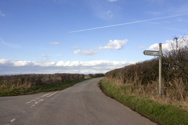
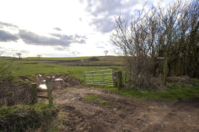
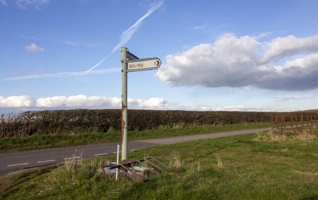
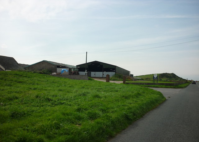
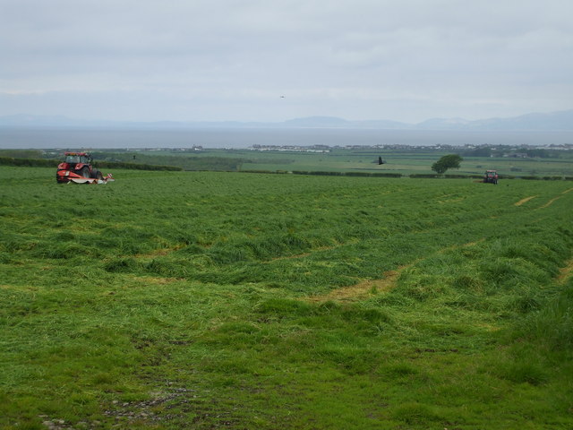
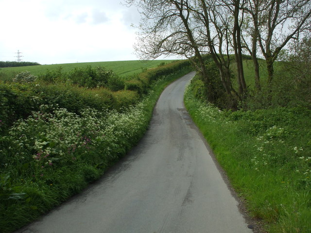
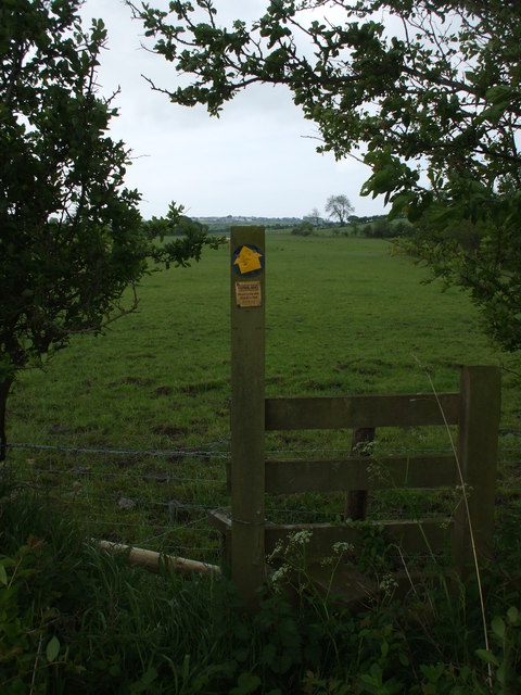
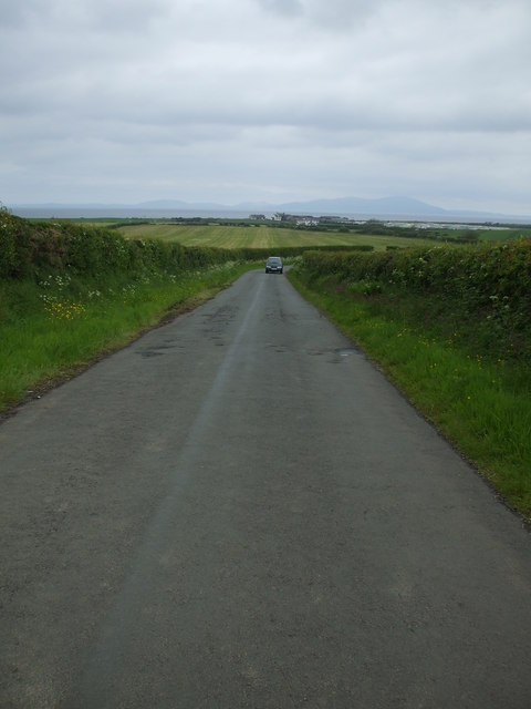
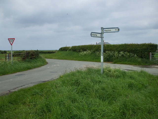
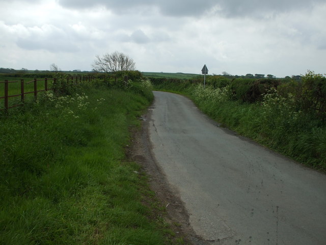
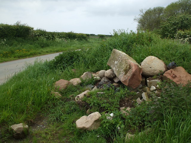
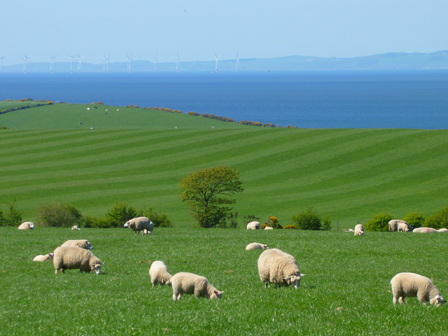
Allerby Images

Images are sourced within 2km of 54.742274/-3.416963 or Grid Reference NY0839. Thanks to Geograph Open Source API. All images are credited.

Road from Allonby Allonby road junction
Road from Allonby
Allonby road junction
Gateway to field Gateway to field with footpath and newly planted hedgerow in the middle distance.
Gateway to field
Gateway to field with footpath and newly planted hedgerow in the middle distance.
Road Junction at Mealo Road Junction at Mealo with sign post
Road Junction at Mealo
Road Junction at Mealo with sign post
Blue Dial Farm and Caravan Park
Cutting grass for silage
Dip in the road The road dips to cross a small beck close to Hazel Mount Farm.
Dip in the road
The road dips to cross a small beck close to Hazel Mount Farm.
Un-named Beck near Hazel Mount Not big enough to warrant a name, this beck reaches the Irish Sea in around a mile, at Mealo Sands.
Un-named Beck near Hazel Mount
Not big enough to warrant a name, this beck reaches the Irish Sea in around a mile, at Mealo Sands.
Footpath to Allerby Nowt but just in this grid square.
Footpath to Allerby
Nowt but just in this grid square.
Traffic ! This is about as busy as it gets in North Cumbria.
Traffic !
This is about as busy as it gets in North Cumbria.
Road Junction at Mealo
Country lane to Allerby Road to Allerby from Mealo. Old metal fencing on the left & a hedgerow on the right.
Country lane to Allerby
Road to Allerby from Mealo. Old metal fencing on the left & a hedgerow on the right.
Broken Gatepost Roadside stone pile. If I hadn't had a bootful I might have had this red sandstone gatepost away. Even in this broken state it is still a beautiful piece of worked stone.
Broken Gatepost
Roadside stone pile. If I hadn't had a bootful I might have had this red sandstone gatepost away. Even in this broken state it is still a beautiful piece of worked stone.
Pasture, Allerby Looking across the Solway to the Galloway Hills.
Pasture, Allerby
Looking across the Solway to the Galloway Hills.
Farmland, Allerby A view of Criffel from a footpath dropping down to the coast.
Farmland, Allerby
A view of Criffel from a footpath dropping down to the coast.
Road Junction near Mealo House This junction of two minor roads to the villages of Allerby and Hayton site a few tens of yards inland from the Solway coast. The farm at Mealo Hill on the far side of the grid square is just visible on the horizon.
Road Junction near Mealo House
This junction of two minor roads to the villages of Allerby and Hayton site a few tens of yards inland from the Solway coast. The farm at Mealo Hill on the far side of the grid square is just visible on the horizon.
Minor road near Allerby The landscape of NW Cumbria is threaded with lanes such as this leading across farmland from the higher ground to the coast.
Minor road near Allerby
The landscape of NW Cumbria is threaded with lanes such as this leading across farmland from the higher ground to the coast.
Hazel Mount Farm, Hayton A collection of farm buildings between Allerby and Hayton. The improved grassland is typical of the local agriculture.
Hazel Mount Farm, Hayton
A collection of farm buildings between Allerby and Hayton. The improved grassland is typical of the local agriculture.
Blue Dial Caravan Site
Show me another place!

Allerby is located at Grid Ref: NY0839 (Lat: 54.742274, Lng: -3.416963)

Administrative County: Cumbria

District: Allerdale

Police Authority: Cumbria

What 3 Words

///forensic.influencing.tile. Near Dearham, Cumbria

Nearby Locations

Allerby

Related Wikis

Crosby Villa

Crosby Villa is a hamlet in the civil parish of Crosscanonby in Cumbria, United Kingdom. It is located on the A596 road, 3.75 miles (6.04 km) north-east...

Bullgill railway station

Bullgill or Bull Gill was a railway station on the Maryport and Carlisle Railway (M&CR) serving Bullgill in Cumbria. The station was opened by the M&CR...

Bullgill

Bullgill is a hamlet in Cumbria, England. == Geography == It is located to the northeast of Dearham, 4.3 miles (6.9 km) by road northeast of Maryport and...

Allerby

Allerby is a hamlet in the civil parish of Oughterside and Allerby, Cumbria, England. == Etymology == Allerby was originally called " 'Ailward's', that...

Crosby, Cumbria

Crosby is a small village in the county of Cumbria, historically within Cumberland, near the Lake District National Park. It is 3 miles (4.8 km) north...

Birkby, Cumbria

Birkby is a hamlet in the Allerdale district of the English county of Cumbria, historically within Cumberland, near the Lake District National Park. It...

Crosscanonby

Crosscanonby (otherwise Cross Canonby) is a village and civil parish in Cumbria, England, historically part of Cumberland, near the Lake District National...

Oughterside and Allerby

Oughterside and Allerby is a civil parish in Allerdale district, Cumbria, England. In the 2011 census it had a population of 619. The north western boundary...

Nearby Amenities

Located within 500m of 54.742274,-3.416963
Allerby
Is In: Cumbria, England, UK
Place: hamlet
Source: npe
Wikidata: Q4732108
Lat/Long: 54.7424638/-3.4165399
Bus Stop
Playing Field
Naptan AtcoCode: 090002232056
Naptan Bearing: E
Naptan CommonName: Playing Field
Naptan Indicator: opp
Naptan Landmark: playing field
Naptan NaptanCode: cumadpjd
Naptan Street: A596(T)
Naptan Verified: no
Source: naptan_import
Lat/Long: 54.738267/-3.4148484
Telephone
Booth: K6
Covered: booth
Lat/Long: 54.7427403/-3.4161455
Post Box
Post Box Type: wall
Ref: CA7 295
Lat/Long: 54.7430512/-3.4165358
Bench
Lat/Long: 54.7427884/-3.4163854
Croft Farm
Place: farm
Lat/Long: 54.7445641/-3.4177317
Allerby Farm
Place: farm
Lat/Long: 54.7424236/-3.414984
Generator Method: photovoltaic
Generator Orientation: south
Generator Output Electricity: yes
Generator Solar Modules: 13
Generator Source: solar
Generator Type: solar_photovoltaic_panel
Location: roof
Power: generator
Lat/Long: 54.7382176/-3.4138572
Power: pole
Lat/Long: 54.7414981/-3.4232073
Power: pole
Lat/Long: 54.7415411/-3.4213471
Power: pole
Lat/Long: 54.7415661/-3.4197308
Power: pole
Lat/Long: 54.7415972/-3.4181352
Power: pole
Lat/Long: 54.7407539/-3.4169672
Power: pole
Lat/Long: 54.7400138/-3.4159422
Power: pole
Lat/Long: 54.7389859/-3.414608
Power: pole
Lat/Long: 54.7385838/-3.4140706
Power: pole
Lat/Long: 54.7413776/-3.4165374
Power: pole
Lat/Long: 54.7395073/-3.4109558
Power: pole
Lat/Long: 54.7399381/-3.4125638
Power: pole
Lat/Long: 54.7399929/-3.4143827
Power: pole
Lat/Long: 54.7399058/-3.4161148
The data included in this document is from www.openstreetmap.org. The data is made available under ODbL.

Have you been to Allerby?

Leave your review of Allerby below (or comments, questions and feedback).