Jubilee Covert
Wood, Forest in Anglesey
Wales
Jubilee Covert
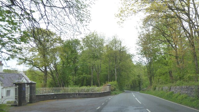
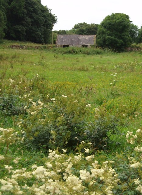
Jubilee Covert is a picturesque woodland located in Anglesey, a beautiful island off the northwest coast of Wales. Covering an area of approximately 20 acres, this enchanting forest is a popular destination for nature lovers and outdoor enthusiasts.
The woodland is characterized by a rich diversity of tree species, including oak, beech, birch, and ash, which create a vibrant and lush canopy. The forest floor is adorned with a carpet of wildflowers, ferns, and mosses, providing a serene and tranquil ambiance.
The Jubilee Covert is home to a variety of wildlife, making it a haven for nature enthusiasts. Visitors may be lucky enough to spot native species such as red squirrels, badgers, foxes, and a plethora of bird species, including woodpeckers and owls. The woodland also supports a diverse range of insects and butterflies, adding to its ecological significance.
Walking trails meander throughout the woodland, providing opportunities for visitors to immerse themselves in the natural beauty and serenity of the forest. The well-maintained paths are suitable for all ages and abilities, making Jubilee Covert an ideal destination for a family day out or a peaceful stroll.
The forest is also popular among photographers and artists, who are captivated by its scenic beauty and magical atmosphere. The dappled sunlight filtering through the trees, the vibrant colors of autumn foliage, and the delicate sounds of nature create a truly inspiring setting for creative expression.
In conclusion, Jubilee Covert in Anglesey is a captivating woodland sanctuary, offering visitors a chance to connect with nature, explore scenic trails, and enjoy the rich biodiversity that thrives within its boundaries.
If you have any feedback on the listing, please let us know in the comments section below.
Jubilee Covert Images
Images are sourced within 2km of 53.27548/-4.2155826 or Grid Reference SH5277. Thanks to Geograph Open Source API. All images are credited.


Jubilee Covert is located at Grid Ref: SH5277 (Lat: 53.27548, Lng: -4.2155826)
Unitary Authority: Isle of Anglesey
Police Authority: North Wales
What 3 Words
///farmland.ships.norms. Near Benllech, Isle of Anglesey
Nearby Locations
Related Wikis

Plas Gwyn
Plas Gwyn is an area in the community of Pentraeth, Anglesey, Wales, which is 131.8 miles (212 km) from Cardiff and 211.2 miles (339.8 km) from London...

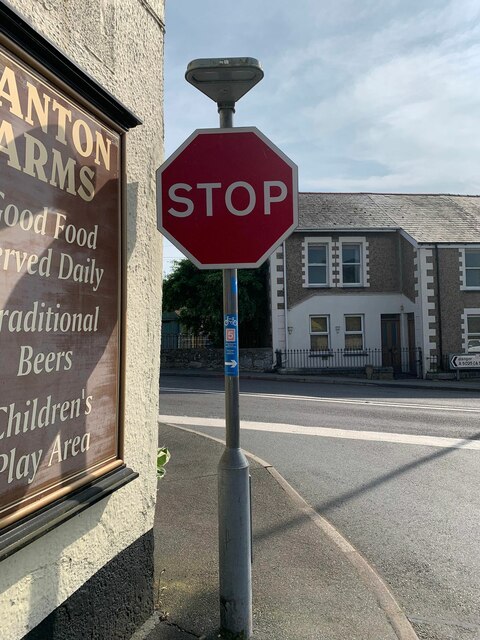
Panton Arms Hotel, Pentraeth
The Panton Arms Hotel, in Pentraeth, Anglesey, is a Grade II listed building situated in the centre of the village. It is named after the Panton family...

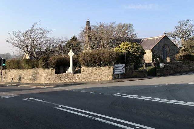
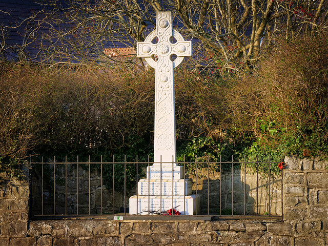
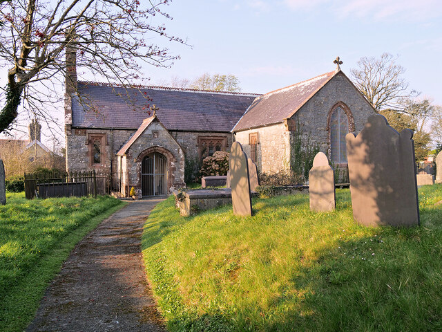
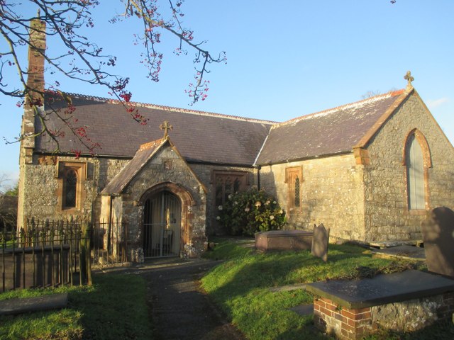
St Mary's Church, Pentraeth
St Mary's Church, Pentraeth is a small medieval parish church in the village of Pentraeth, in Anglesey, north Wales. The date of construction is unknown...
Pentraeth railway station
Pentraeth railway station was situated on the Red Wharf Bay branch line between Holland Arms railway station and Benllech, the third station after the...

Pentraeth
Pentraeth (; Welsh: ['pɛntraiθ]) is a village and community on the island of Anglesey (Ynys Môn), North Wales, at grid reference SH523786. The Royal Mail...
Rhos Cefn Hir
Rhos Cefn Hir (or Rhoscefnhir) is a village in the community of Pentraeth, Anglesey, Wales, which is 130.8 miles (210.5 km) from Cardiff and 210.8 miles...
Pen-y-garnedd
Pen-y-garnedd is a village in the community of Pentraeth, Anglesey, Wales, which is 130.6 miles (210.2 km) from Cardiff and 210.1 miles (338.2 km) from...

Llanddyfnan
Llanddyfnan is a village and community in Anglesey, Wales, located 3.5 miles (5.6 km) north east of Llangefni, 6.6 miles (10.6 km) north west of Menai...
Nearby Amenities
Located within 500m of 53.27548,-4.2155826Have you been to Jubilee Covert?
Leave your review of Jubilee Covert below (or comments, questions and feedback).