Allt Pistyll-celyn

Wood, Forest in Carmarthenshire

Wales

Allt Pistyll-celyn

Field beyond the car park for the Halfway Inn, Llanegwad
Field beyond the car park for the Halfway Inn, Llanegwad Credit: Ruth Sharville

Allt Pistyll-celyn is a stunning woodland located in Carmarthenshire, Wales. Spread across a vast area, this enchanting forest is a haven of natural beauty and tranquility. The name "Allt Pistyll-celyn" translates to "the steep slope of the holly waterfall," which perfectly captures the essence of this magical place.

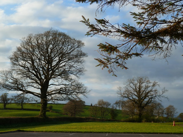
The forest boasts a diverse range of trees, with oak, beech, and ash being particularly abundant. The dense canopy provides shade and shelter for a variety of wildlife, including birds, squirrels, and deer. The forest floor is adorned with a carpet of wildflowers, adding bursts of color to the already picturesque landscape.

One of the highlights of Allt Pistyll-celyn is the holly waterfall, from which the forest derives its name. This cascading waterfall is a sight to behold, especially after a heavy rainfall when it gushes down with immense power and beauty. Visitors often find themselves captivated by the sound of the rushing water and the mist that fills the air.

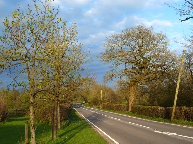
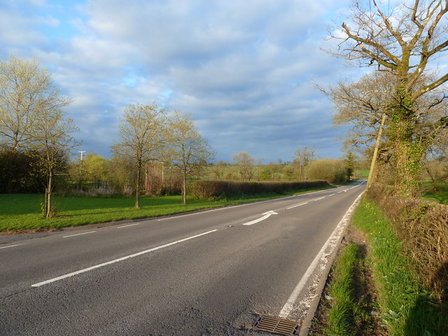
The forest is also a popular destination for outdoor enthusiasts, offering numerous walking trails and picnic spots. Exploring the winding paths of Allt Pistyll-celyn allows visitors to immerse themselves in nature, breathing in the fresh, fragrant air and admiring the towering trees that surround them.

Allt Pistyll-celyn truly is a hidden gem in Carmarthenshire, offering a peaceful retreat for those seeking solace in nature's embrace. It is a place where one can escape the hustle and bustle of everyday life and reconnect with the wonders of the natural world.

If you have any feedback on the listing, please let us know in the comments section below.

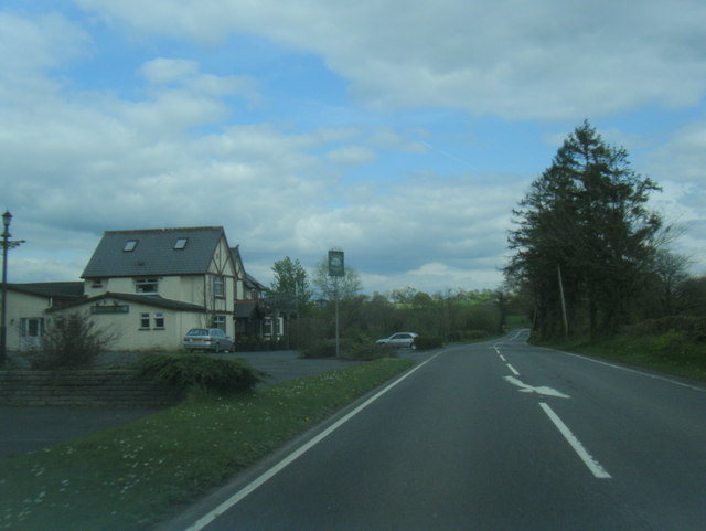
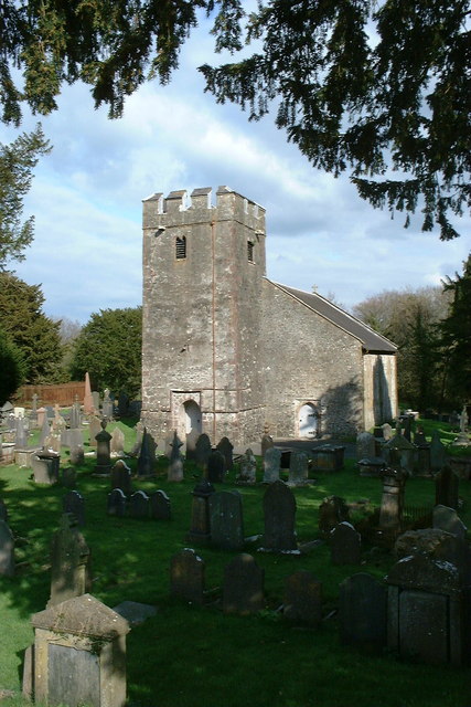
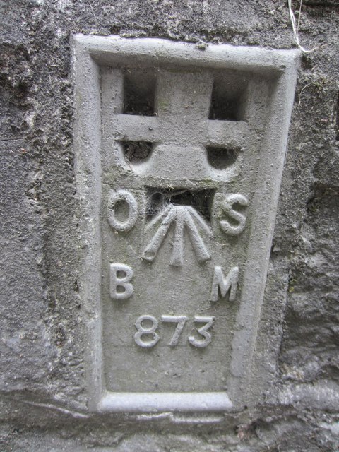
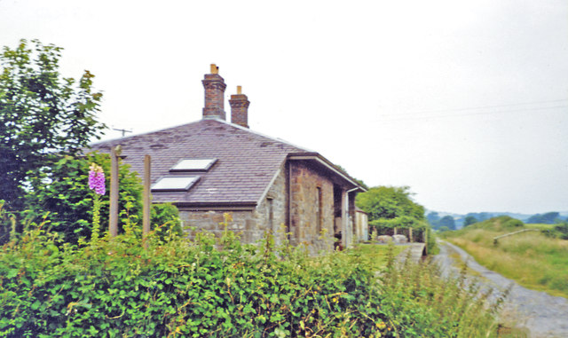
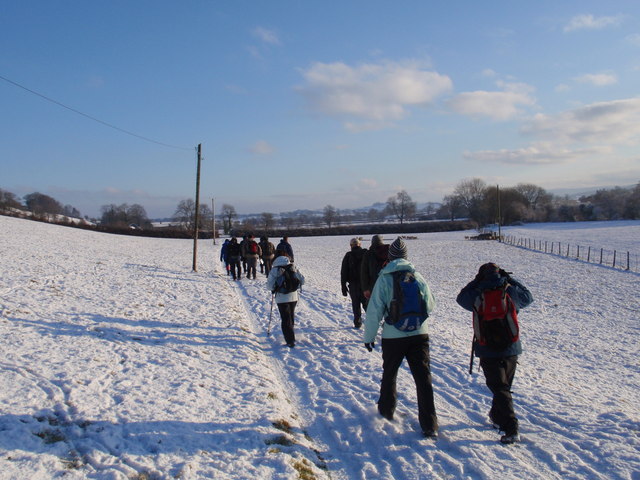
Allt Pistyll-celyn Images

Images are sourced within 2km of 51.859676/-4.1442475 or Grid Reference SN5220. Thanks to Geograph Open Source API. All images are credited.
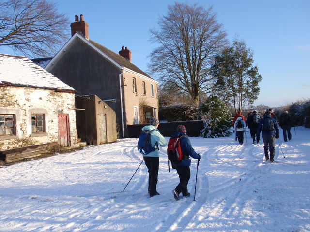
Field beyond the car park for the Halfway Inn, Llanegwad
A40 looking east from the Halfway Inn, Llanegwad
The A40 looking west from the Halfway Inn car park, Llanegwad
Halfway Inn A popular pub/restaurant near Nantgaredig.
Halfway Inn
A popular pub/restaurant near Nantgaredig.
A40 looking east with Hafway Inn beyond
A40 at Wern Garage
A40 at Wern Garage
St David's church, Llanarthney
Ordnance Survey Flush Bracket This OS Flush Bracket (875) can be found on the south face of a roadside wall at the Golden Grove Arms, Llanarthne. It was used during the Second Geodetic Levelling of England & Wales (1912-21) Carmarthen - Llandovery Levelling Line. Also the Third Geodetic Levelling of England & Wales (1950-68) Llandovery - Carmarthen Levelling Line. It marks a point 79.1530ft above mean sea level.
Ordnance Survey Flush Bracket
This OS Flush Bracket (875) can be found on the south face of a roadside wall at the Golden Grove Arms, Llanarthne. It was used during the Second Geodetic Levelling of England & Wales (1912-21) Carmarthen - Llandovery Levelling Line. Also the Third Geodetic Levelling of England & Wales (1950-68) Llandovery - Carmarthen Levelling Line. It marks a point 79.1530ft above mean sea level.
Ordnance Survey Flush Bracket (874) This heavily painted over OS Flush Bracket (874) can be found on the north face of the stables at Bremenda Uchafa. It was used during the Second Geodetic Levelling of England & Wales (1912-21) Carmarthen - Llandovery Levelling Line. Also the Third Geodetic Levelling of England & Wales (1950-68) Llandovery - Carmarthen Levelling Line. It marks a point 81.5330ft above mean sea level.
Ordnance Survey Flush Bracket (874)
This heavily painted over OS Flush Bracket (874) can be found on the north face of the stables at Bremenda Uchafa. It was used during the Second Geodetic Levelling of England & Wales (1912-21) Carmarthen - Llandovery Levelling Line. Also the Third Geodetic Levelling of England & Wales (1950-68) Llandovery - Carmarthen Levelling Line. It marks a point 81.5330ft above mean sea level.
Ordnance Survey Flush Bracket (873) This OS Flush Bracket (873) can be found on the south east face of Pont ar Ffinnant. It was used during the Second Geodetic Levelling of England & Wales (1912-21) Carmarthen - Llandovery Levelling Line. Also the Third Geodetic Levelling of England & Wales (1950-68) Llandovery - Carmarthen Levelling Line. It marks a point 63.6340ft above mean sea level.
Ordnance Survey Flush Bracket (873)
This OS Flush Bracket (873) can be found on the south east face of Pont ar Ffinnant. It was used during the Second Geodetic Levelling of England & Wales (1912-21) Carmarthen - Llandovery Levelling Line. Also the Third Geodetic Levelling of England & Wales (1950-68) Llandovery - Carmarthen Levelling Line. It marks a point 63.6340ft above mean sea level.
Former Llanarthney station View westward, towards Carmarthen: ex-LNW Llandilo - Carmarthen branch, closed 9/9/63. The station has been acquired as a private residence.
Former Llanarthney station
View westward, towards Carmarthen: ex-LNW Llandilo - Carmarthen branch, closed 9/9/63. The station has been acquired as a private residence.
Water, water everywhere Part of Carmarthen flood plain, the sign on the gate reads, "Private access for fishing only to permit holders". Is a boat required?
Water, water everywhere
Part of Carmarthen flood plain, the sign on the gate reads, "Private access for fishing only to permit holders". Is a boat required?
Llwybr Llwchgwyn Path Cerddwyr yn dilyn llwybr cyhoeddus tuag at Ffarm Llwchgwyn.

Walkers following a public footpath in the direction of Llwchgwyn Farm (trans. fair lake/ pond?).
Llwybr Llwchgwyn Path
Cerddwyr yn dilyn llwybr cyhoeddus tuag at Ffarm Llwchgwyn. Walkers following a public footpath in the direction of Llwchgwyn Farm (trans. fair lake/ pond?).
Ffarm Llwch Gwyn Farm Cerddwyr yn mynd heibio i Ffarm Llwchgwyn wrth iddynt anelu at bentre Llanegwad.

Walkers passing Llwchgwyn Farm (trans. fair pond / lake?) on route to the village of Llanegwad (St Egwad's Church).
Ffarm Llwch Gwyn Farm
Cerddwyr yn mynd heibio i Ffarm Llwchgwyn wrth iddynt anelu at bentre Llanegwad. Walkers passing Llwchgwyn Farm (trans. fair pond / lake?) on route to the village of Llanegwad (St Egwad's Church).
Emlyn Arms Cerddwyr yn mynd heibio i Dafarn yr Emlyn Arms. Yn ystod Nadolig 1909 daeth y tafarn i sylw'r wlad am ddigwyddiad goruwchnaturiol wrth i boltergeist ymweld a'r lle gan greu anrhefn llwyr a gadael y bobl a'i gwelodd yn glwyfol tu hwnt. 

Walkers passing the Emlyn Arms. During Christmas 1909 the public house made national headlines by an event which could only be described as extraordinary. The premises was visited by a poltergeist which resulted in chaos and left those who witnessed the unearthly goings on highly traumatised.
Emlyn Arms
Cerddwyr yn mynd heibio i Dafarn yr Emlyn Arms. Yn ystod Nadolig 1909 daeth y tafarn i sylw'r wlad am ddigwyddiad goruwchnaturiol wrth i boltergeist ymweld a'r lle gan greu anrhefn llwyr a gadael y bobl a'i gwelodd yn glwyfol tu hwnt. Walkers passing the Emlyn Arms. During Christmas 1909 the public house made national headlines by an event which could only be described as extraordinary. The premises was visited by a poltergeist which resulted in chaos and left those who witnessed the unearthly goings on highly traumatised.
Derlwyn Isaf Cerddwyr yn agosau at anhedd-dy o'r enw Derlwyn Isaf.

Walkers approaching a property known as Derlwyn Isaf (Trans [lower] oakgrove)
Derlwyn Isaf
Cerddwyr yn agosau at anhedd-dy o'r enw Derlwyn Isaf. Walkers approaching a property known as Derlwyn Isaf (Trans [lower] oakgrove)
Milestone - Carmarthen 7 3/4 Road facing side of granite milestone. There should be an Ordnance Survey Bench Mark on this stone which marks a point 18.0945m above mean sea level. <a title="https://www.geograph.org.uk/photo/4331847" href="https://www.geograph.org.uk/photo/4331847">Link</a>
Milestone - Carmarthen 7 3/4
Road facing side of granite milestone. There should be an Ordnance Survey Bench Mark on this stone which marks a point 18.0945m above mean sea level. Link
Milestone - Carmarthen 7 3/4 Road facing side of granite milestone. There should be an Ordnance Survey Bench Mark on this stone which marks a point 18.0945m above mean sea level. <a title="https://www.geograph.org.uk/photo/4331845" href="https://www.geograph.org.uk/photo/4331845">Link</a>
Milestone - Carmarthen 7 3/4
Road facing side of granite milestone. There should be an Ordnance Survey Bench Mark on this stone which marks a point 18.0945m above mean sea level. Link
Show me another place!

Allt Pistyll-celyn is located at Grid Ref: SN5220 (Lat: 51.859676, Lng: -4.1442475)

Unitary Authority: Carmarthenshire

Police Authority: Dyfed Powys

What 3 Words

///economics.besotted.sheep. Near Llanddarog, Carmarthenshire

Nearby Locations

Allt Pistyll-celyn

Related Wikis

Llanarthney

Llanarthney (Welsh: Llanarthne; ) is a village and community in Carmarthenshire, south-west Wales. It is situated on the B4300 road, 12 km (7.5 miles)...

Llanarthney Halt railway station

Llanarthney railway station served the village of Llanarthney, in the historical county of Carmarthenshire, Wales, from 1865 to 1963 on the Llanelly Railway...

Llanegwad

Llanegwad () is a village and community located in Carmarthenshire, Wales. The population taken at the 2011 census was 1,473.Llanegwad is built up mainly...

Paxton's Tower

Paxton's Tower is a Neo-Gothic folly erected in honour of Lord Nelson. It is situated on the top of a hill near Llanarthney in the River Tywi valley in...

National Botanic Garden of Wales

The National Botanic Garden of Wales (Welsh: Gardd Fotaneg Genedlaethol Cymru) is a botanical garden located in Llanarthney in the River Tywi valley, Carmarthenshire...

Pont-ar-Gothi

Pont-ar-gothi (otherwise Pontargothi or Cothi Bridge) is a village in Carmarthenshire, West Wales. The village takes its name from the bridge where the...

Afon Cothi

The Afon Cothi (also known as the River Cothy) in Carmarthenshire is the largest tributary of the River Tywi in south Wales. From its source at Blaen Cothi...

Dryslwyn Castle

Dryslwyn Castle (Welsh: Castell y Drysllwyn) is a native Welsh castle, sited on a rocky hill roughly halfway between Llandeilo and Carmarthen in Wales...

Nearby Amenities

Located within 500m of 51.859676,-4.1442475
Power: pole
Lat/Long: 51.8632966/-4.1430473
Power: pole
Lat/Long: 51.862702/-4.1440666
Power: pole
Lat/Long: 51.8621239/-4.1450053
Power: pole
Lat/Long: 51.8616485/-4.1458368
Power: pole
Lat/Long: 51.8617446/-4.1470867
Power: pole
Lat/Long: 51.8618423/-4.1484493
Power: pole
Lat/Long: 51.8619731/-4.1500291
The data included in this document is from www.openstreetmap.org. The data is made available under ODbL.

Have you been to Allt Pistyll-celyn?

Leave your review of Allt Pistyll-celyn below (or comments, questions and feedback).