Allt Gogerddan
Wood, Forest in Cardiganshire
Wales
Allt Gogerddan

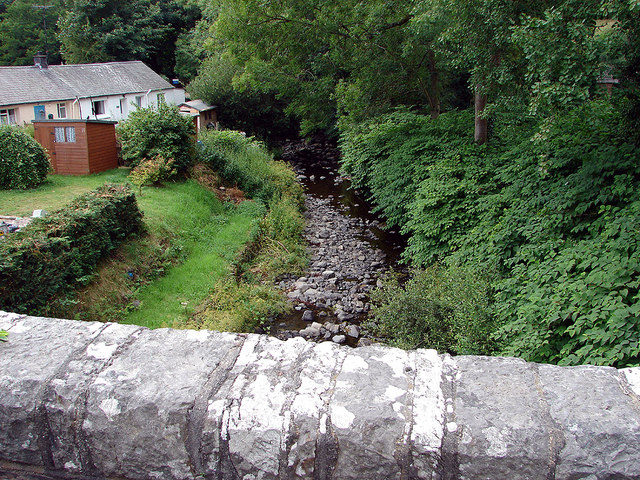
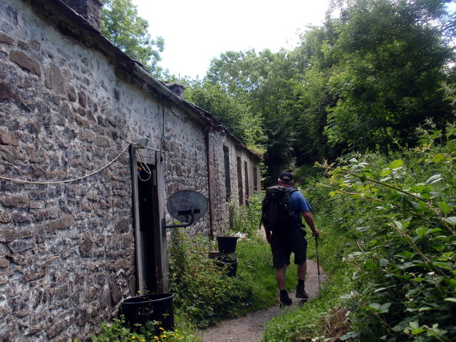
Allt Gogerddan, located in Cardiganshire, is a picturesque wood or forest that offers visitors a serene and captivating natural environment. The wood is situated near Aberystwyth, a popular seaside town in Wales, and covers a vast area, providing ample space for exploration and relaxation.
The woodland is mainly composed of native tree species, including oak, beech, and birch, which create a rich and diverse ecosystem. This diverse range of trees provides a habitat for a variety of wildlife, including birds, mammals, and insects, making it a haven for nature enthusiasts and photographers.
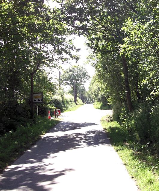
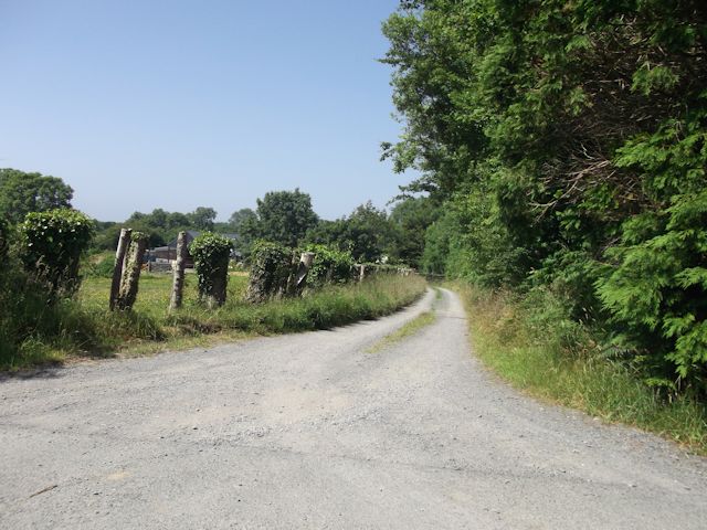
Visitors to Allt Gogerddan can enjoy a network of walking trails that meander through the woodland, allowing them to immerse themselves in the beauty of nature. These trails offer both leisurely strolls and more challenging hikes, catering to different levels of fitness and interests.
In addition to its natural beauty, Allt Gogerddan has historical significance as well. The wood is home to the ruins of Gogerddan Mansion, a grand country house that was built in the 18th century. The mansion was once a prominent residence but fell into disrepair and was eventually abandoned. Its ruins now add a sense of mystery and intrigue to the woodland, attracting history enthusiasts.
Overall, Allt Gogerddan is a gem in the Cardiganshire countryside, offering visitors a perfect blend of natural beauty, wildlife, and a touch of history. Whether one seeks tranquility, adventure, or a glimpse into the past, this woodland is sure to provide a memorable experience.
If you have any feedback on the listing, please let us know in the comments section below.
Allt Gogerddan Images
Images are sourced within 2km of 52.234228/-4.1633432 or Grid Reference SN5261. Thanks to Geograph Open Source API. All images are credited.


Allt Gogerddan is located at Grid Ref: SN5261 (Lat: 52.234228, Lng: -4.1633432)
Unitary Authority: Ceredigion
Police Authority: Dyfed Powys
What 3 Words
///spindles.educated.wipe. Near Llanon, Ceredigion
Nearby Locations
Related Wikis

Ffoshelyg
Ffoshelyg is a hamlet in Ceredigion, Wales. The estate at Ffoshelyg was once owned by Hugh Lloyd (fl. 1608). As of 2016 it is dominated by a family-run...
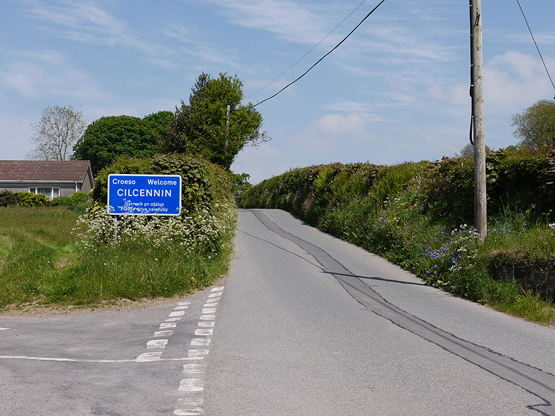
Cilcennin
Cilcennin is a village in the community of Ciliau Aeron, Ceredigion, west Wales. The River Aeron is to the southwest. == History == Cilcennin is the site...

Pennant, Ceredigion
Pennant is a village in the community of Dyffryn Arth, Ceredigion, Wales. Pennant is represented in the Senedd by Elin Jones (Plaid Cymru) and is part...
Monachty
Monachty is a small village in the community of Dyffryn Arth, Ceredigion, Wales, which is 67.8 miles (109.1 km) from Cardiff and 180.4 miles (290.4 km...
Dyffryn Arth
Dyffryn Arth is a community in the county of Ceredigion, Wales, and is 66.8 miles (107.5 km) from Cardiff and 178.4 miles (287.1 km) from London. In 2011...
Pontrhyd-Saeson
Pontrhyd-Saeson is a hamlet in the community of Dyffryn Arth, Ceredigion, Wales, which is 66.9 miles (107.7 km) from Cardiff and 178.4 miles (287 km)...
Trychrug
for the hill in Carmarthenshire with a similar name see TrichrugTrychrug is a mountain in Ceredigion, Wales, which rises to 343 metres (1,125 ft) high...
Dinerth Castle
The Castle of Dinerth (Welsh: Castell Dineirth, Castell Dinerth, or Castell Allt Craig Arth) is a Welsh castle located near Aberarth, Ceredigion, west...
Nearby Amenities
Located within 500m of 52.234228,-4.1633432Have you been to Allt Gogerddan?
Leave your review of Allt Gogerddan below (or comments, questions and feedback).