Allt Pen-bryn

Wood, Forest in Cardiganshire

Wales

Allt Pen-bryn

Gardens at Cae Hir The Welsh Garden with a Dutch History
Gardens at Cae Hir Credit: Kevin Waterhouse

Allt Pen-bryn is a picturesque wood located in Cardiganshire, Wales. Covering an area of approximately 50 acres, it is known for its dense forest and natural beauty. The wood is situated on a hillside, offering breathtaking views of the surrounding countryside.

The wood is predominantly made up of native tree species, including oak, beech, and ash. These trees create a dense canopy, providing a habitat for a variety of wildlife. The forest floor is covered in a lush carpet of ferns and moss, adding to its enchanting atmosphere.

Allt Pen-bryn is a popular destination for nature enthusiasts and hikers. Several well-marked trails wind their way through the wood, allowing visitors to explore its hidden treasures. The paths take visitors past babbling brooks, ancient stone walls, and hidden glades, creating a sense of tranquility and serenity.

The wood is also home to a diverse range of wildlife. Birdwatchers can spot various species, including woodpeckers, owls, and falcons. Small mammals such as squirrels and rabbits can often be seen darting among the trees, while the occasional deer may also be spotted in the early morning or evening.

Allt Pen-bryn is a true gem of Cardiganshire, offering visitors a chance to escape the hustle and bustle of everyday life and immerse themselves in the beauty of nature. Whether it's a leisurely walk through the woods or a picnic among the trees, this woodland sanctuary is a must-visit for anyone seeking a peaceful and rejuvenating experience.

If you have any feedback on the listing, please let us know in the comments section below.

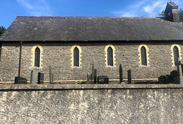
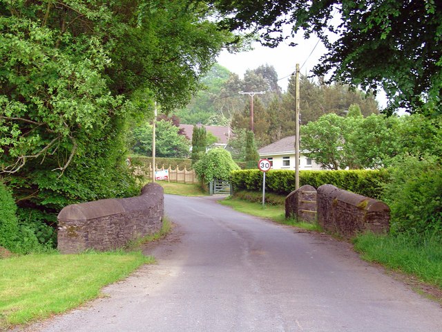
Allt Pen-bryn Images

Images are sourced within 2km of 52.147731/-4.168852 or Grid Reference SN5152. Thanks to Geograph Open Source API. All images are credited.

Gardens at Cae Hir The Welsh Garden with a Dutch History
Gardens at Cae Hir
The Welsh Garden with a Dutch History
Topiary at Cae Hir Gardens The Welsh Garden with a Dutch History
Topiary at Cae Hir Gardens
The Welsh Garden with a Dutch History
Ordnance Survey Rivet This OS rivet can be found on the south parapet of Pont Glanrafon. It marks a point 154.989m above mean sea level.
Ordnance Survey Rivet
This OS rivet can be found on the south parapet of Pont Glanrafon. It marks a point 154.989m above mean sea level.
Milestone - Cardigan 23
Ordnance Survey Cut Mark This OS cut mark can be found on the gatepost SW side of the road. It marks a point 176.013m above mean sea level.
Ordnance Survey Cut Mark
This OS cut mark can be found on the gatepost SW side of the road. It marks a point 176.013m above mean sea level.
Milestone - Cardigan 22 The Ordnance Survey cut mark on the stone marks a point 204.789m above mean sea level.
Milestone - Cardigan 22
The Ordnance Survey cut mark on the stone marks a point 204.789m above mean sea level.
Church of St Silin, Cribyn
Main road through Cribyn The B4337 Temple Bar to Llanybydder road.
Main road through Cribyn
The B4337 Temple Bar to Llanybydder road.
Semi-detached houses at Cribyn
Ordnance Survey Cut Mark This OS cut mark can be found on the house which was once the Mynach Arms. It marks a point 174.524m above mean sea level.
Ordnance Survey Cut Mark
This OS cut mark can be found on the house which was once the Mynach Arms. It marks a point 174.524m above mean sea level.
Ffynnon Oer A grade II listed building, dating from the mid eighteenth century. The walls are constructed of 'clom' a mix of earth, marsh grass and horse hair (as well as other materials), which is comparable to 'cob' in the Somerset and Devon.
Ffynnon Oer
A grade II listed building, dating from the mid eighteenth century. The walls are constructed of 'clom' a mix of earth, marsh grass and horse hair (as well as other materials), which is comparable to 'cob' in the Somerset and Devon.
Old Milestone near Troed-y-rhiw, Llanfihangel Ystrad parish Stone post by the UC road, in parish of Llanfihangel Ystrad (Ceredigion District), Cribyn, near Capel Troedyrhiw in embankment.

Inscription reads:-
To Cardigan
22 Miles
Carved bench mark on lower face.

Grade II listed by Cadw.
Reference Number: 17440 <span class="nowrap"><a title="https://cadwpublic-api.azurewebsites.net/reports/listedbuilding/FullReport?lang=&id=17440" rel="nofollow ugc noopener" href="https://cadwpublic-api.azurewebsites.net/reports/listedbuilding/FullReport?lang=&id=17440">Link</a><img style="margin-left:2px;" alt="External link" title="External link - shift click to open in new window" src="https://s1.geograph.org.uk/img/external.png" width="10" height="10"/></span>

Surveyed

Milestone Society National ID: CRD_CACN22
Old Milestone near Troed-y-rhiw, Llanfihangel Ystrad parish
Stone post by the UC road, in parish of Llanfihangel Ystrad (Ceredigion District), Cribyn, near Capel Troedyrhiw in embankment. Inscription reads:- To Cardigan 22 Miles Carved bench mark on lower face. Grade II listed by Cadw. Reference Number: 17440 LinkExternal link Surveyed Milestone Society National ID: CRD_CACN22
Old Milepost by the B4337, Cribyn, Llanfihangel Ystrad parish Flat top casting by the B4337, Cribyn, in parish of Llanfihangel Ystrad (Ceredigion District).

Inscription reads:-
: TEMPLE BAR / 3 / MILES : : LLANYBYTHER / 5 / MILES :
Maker:-
: Eagle Foundry, Aberystwyth. :

Grade II listed by Cadw.
Reference Number: 17437 <span class="nowrap"><a title="https://cadwpublic-api.azurewebsites.net/reports/listedbuilding/FullReport?lang=&id=17437" rel="nofollow ugc noopener" href="https://cadwpublic-api.azurewebsites.net/reports/listedbuilding/FullReport?lang=&id=17437">Link</a><img style="margin-left:2px;" alt="External link" title="External link - shift click to open in new window" src="https://s1.geograph.org.uk/img/external.png" width="10" height="10"/></span>

Surveyed

Milestone Society National ID: CRD_TBLY03
Old Milepost by the B4337, Cribyn, Llanfihangel Ystrad parish
Flat top casting by the B4337, Cribyn, in parish of Llanfihangel Ystrad (Ceredigion District). Inscription reads:- : TEMPLE BAR / 3 / MILES : : LLANYBYTHER / 5 / MILES : Maker:- : Eagle Foundry, Aberystwyth. : Grade II listed by Cadw. Reference Number: 17437 LinkExternal link Surveyed Milestone Society National ID: CRD_TBLY03
Old Milestone northwest of Cribyn Milestone by the UC road, in parish of Llanfihangel Ystrad (Ceredigion District), Cribyn, by-road near Pen-wern Mills, in embankment. Damaged.

Inscription reads:-
To Cardigan
23 Miles
Carved bench mark on lower face.

Grade II listed by Cadw.
Reference Number: 17439 <span class="nowrap"><a title="https://cadwpublic-api-staging.azurewebsites.net/reports/listedbuilding/FullReport?lang=&id=17439" rel="nofollow ugc noopener" href="https://cadwpublic-api-staging.azurewebsites.net/reports/listedbuilding/FullReport?lang=&id=17439">Link</a><img style="margin-left:2px;" alt="External link" title="External link - shift click to open in new window" src="https://s1.geograph.org.uk/img/external.png" width="10" height="10"/></span>

Surveyed

Milestone Society National ID: CRD_CACN23
Old Milestone northwest of Cribyn
Milestone by the UC road, in parish of Llanfihangel Ystrad (Ceredigion District), Cribyn, by-road near Pen-wern Mills, in embankment. Damaged. Inscription reads:- To Cardigan 23 Miles Carved bench mark on lower face. Grade II listed by Cadw. Reference Number: 17439 LinkExternal link Surveyed Milestone Society National ID: CRD_CACN23
Capel Undodaidd, Cribyn Cribyn Welsh Unitarian Chapel.  
Cribyn Unitarian Chapel was built in 1790 and rebuilt in 1851. The present chapel, dated 1851, is built in the Simple Round-Headed style of the gable entry type.
Capel Undodaidd, Cribyn
Cribyn Welsh Unitarian Chapel. Cribyn Unitarian Chapel was built in 1790 and rebuilt in 1851. The present chapel, dated 1851, is built in the Simple Round-Headed style of the gable entry type.
Three Horse Shoes, Cribyn Formerly a pub but now a private residence.  Note the three horse shoes above the front door.
Three Horse Shoes, Cribyn
Formerly a pub but now a private residence. Note the three horse shoes above the front door.
Cribyn Post Office See the sign set into the wall on the corner of the property.
Cribyn Post Office
See the sign set into the wall on the corner of the property.
Ordnance Survey Cut Mark This OS cut mark can be found on the gatepost south side of the road junction. It marks a point 176.671m above mean sea level.
Ordnance Survey Cut Mark
This OS cut mark can be found on the gatepost south side of the road junction. It marks a point 176.671m above mean sea level.
Show me another place!

Allt Pen-bryn is located at Grid Ref: SN5152 (Lat: 52.147731, Lng: -4.168852)

Unitary Authority: Ceredigion

Police Authority: Dyfed Powys

What 3 Words

///forehand.acid.shepherdess. Near Lampeter, Ceredigion

Nearby Locations

Allt Pen-bryn

Related Wikis

Cribyn

Cribyn is a small village in Ceredigion, Wales, about 7 miles (11 km) north of Lampeter and with the villages of Troed y Rhiw, Mydroilyn and Dihewyd to...

Troed y Rhiw

Troed y Rhiw (foot of the hill in English) is a hamlet in Ceredigion approximately midway between Cribyn and Dihewyd in the rolling agricultural land between...

Ffynnon-oer

Ffynnon-oer is a hamlet in the community of Llanfihangel Ystrad, Ceredigion, Wales, which is 62.6 miles (100.8 km) from Cardiff and 177.4 miles (285.6...

Talsarn Halt railway station

Talsarn Halt was a small railway station in a very rural location on the Aberayron branch of the Carmarthen to Aberystwyth Line in the Welsh county of...

Nearby Amenities

Located within 500m of 52.147731,-4.168852
Cafe
Cae Hir Gardens
Lat/Long: 52.1459593/-4.1635428
The data included in this document is from www.openstreetmap.org. The data is made available under ODbL.

Have you been to Allt Pen-bryn?

Leave your review of Allt Pen-bryn below (or comments, questions and feedback).