Coed y Glyn
Wood, Forest in Anglesey
Wales
Coed y Glyn
Coed y Glyn, located in Anglesey, Wales, is a picturesque woodland area known for its natural beauty and diverse range of flora and fauna. The name "Coed y Glyn" translates to "Wood of the Valley," which aptly describes its location nestled within a scenic valley.
Covering an area of approximately 100 acres, Coed y Glyn is a haven for nature enthusiasts and hikers alike. The woodland is predominantly composed of broadleaf trees, such as oak, beech, and birch, which create a lush and vibrant canopy overhead. These trees provide a habitat for a wide variety of birds, including the colorful European goldfinch and the melodious song thrush.
The woodland floor at Coed y Glyn is carpeted with a rich assortment of wildflowers, including bluebells, primroses, and wood anemones, which add a burst of color to the landscape during springtime. The tranquil streams that wind their way through the woodland provide a serene ambiance and attract small mammals, such as otters and water voles.
Coed y Glyn offers several well-marked paths and trails, accommodating visitors of all abilities. These trails provide an opportunity to explore the woodlands, with hidden gems like a cascading waterfall and ancient ruins waiting to be discovered. The area is also home to a diverse range of fungi, making it a popular destination for mushroom foragers.
Overall, Coed y Glyn is a natural oasis, offering visitors the chance to immerse themselves in the beauty of the Welsh countryside and experience the tranquility and charm of this enchanting woodland.
If you have any feedback on the listing, please let us know in the comments section below.
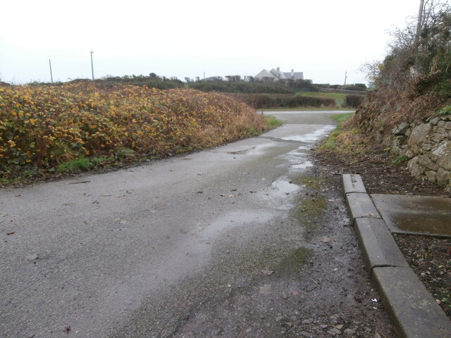
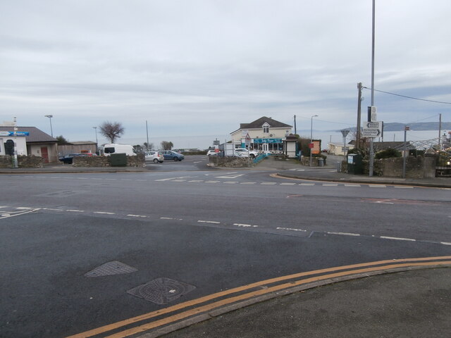
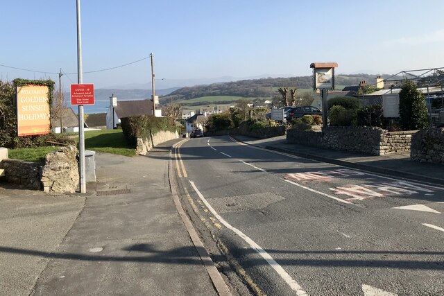
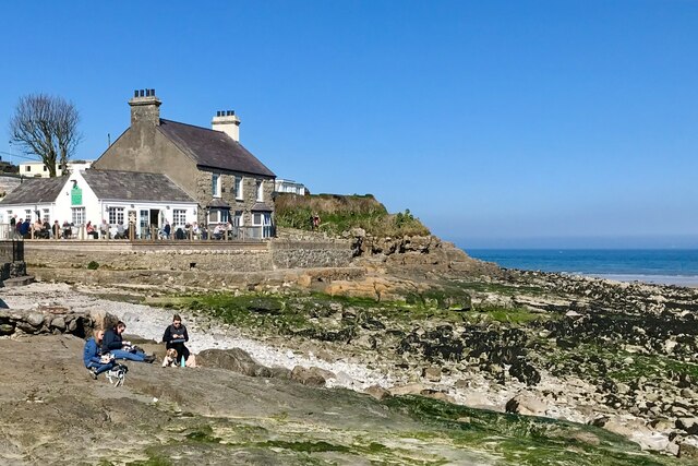
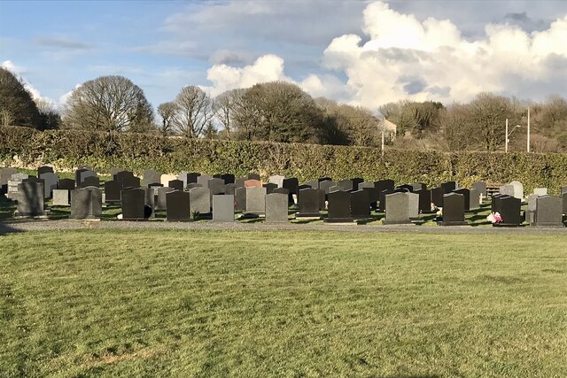
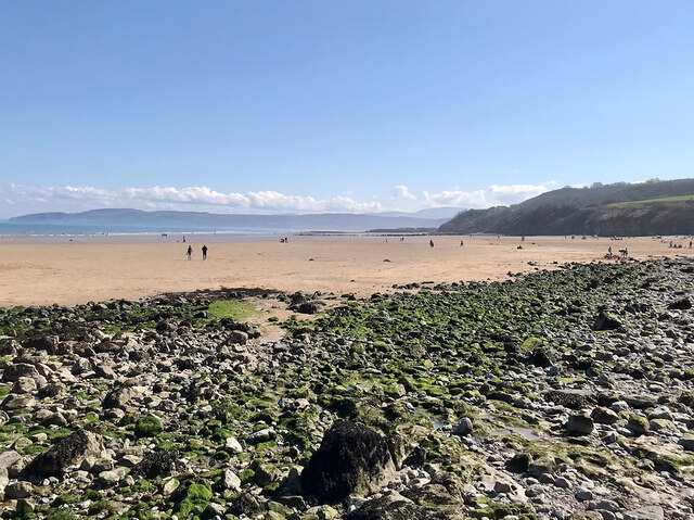
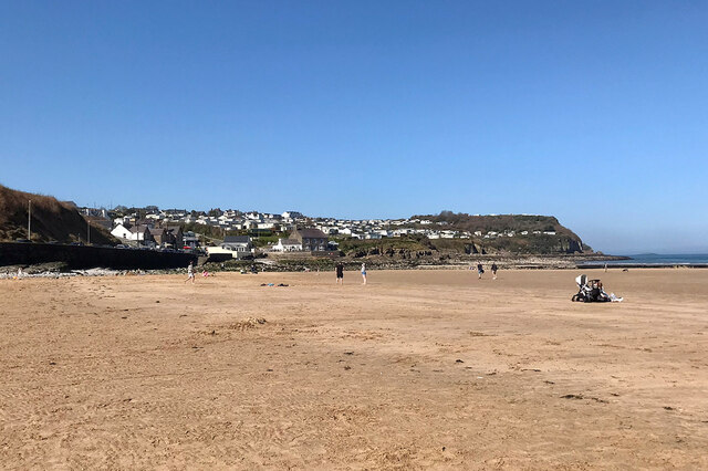
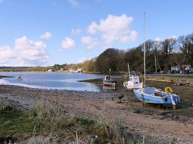
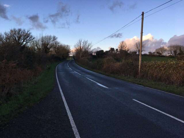
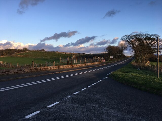
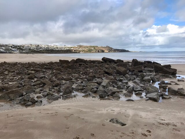
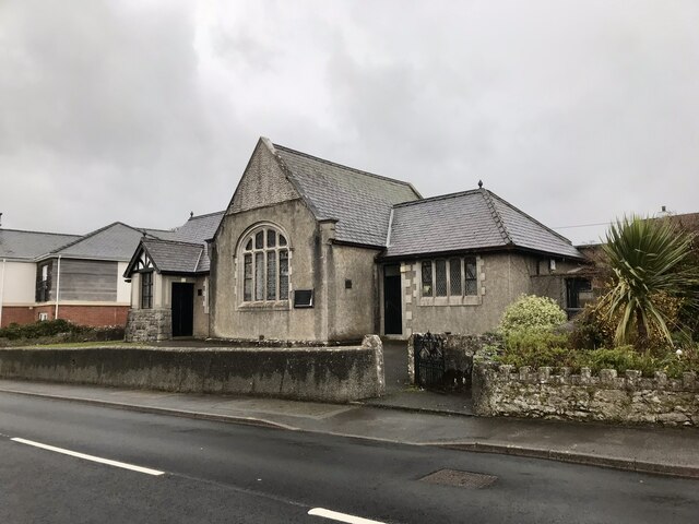
Coed y Glyn Images
Images are sourced within 2km of 53.311265/-4.227524 or Grid Reference SH5181. Thanks to Geograph Open Source API. All images are credited.


Coed y Glyn is located at Grid Ref: SH5181 (Lat: 53.311265, Lng: -4.227524)
Unitary Authority: Isle of Anglesey
Police Authority: North Wales
What 3 Words
///steepest.shift.blasted. Near Benllech, Isle of Anglesey
Nearby Locations
Related Wikis

Llanfair-Mathafarn-Eithaf
Llanfair-Mathafarn-Eithaf (Welsh pronunciation: [ɬanvairˌmaθavanˌaːiθav]) is a parish and community in Anglesey, Wales including the small seaside town...
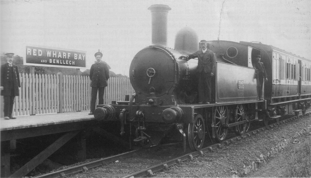
Red Wharf Bay and Benllech railway station
Red Wharf Bay and Benllech railway station was the terminus station of the Red Wharf Bay branch line, which ran between Holland Arms and Benllech, off...
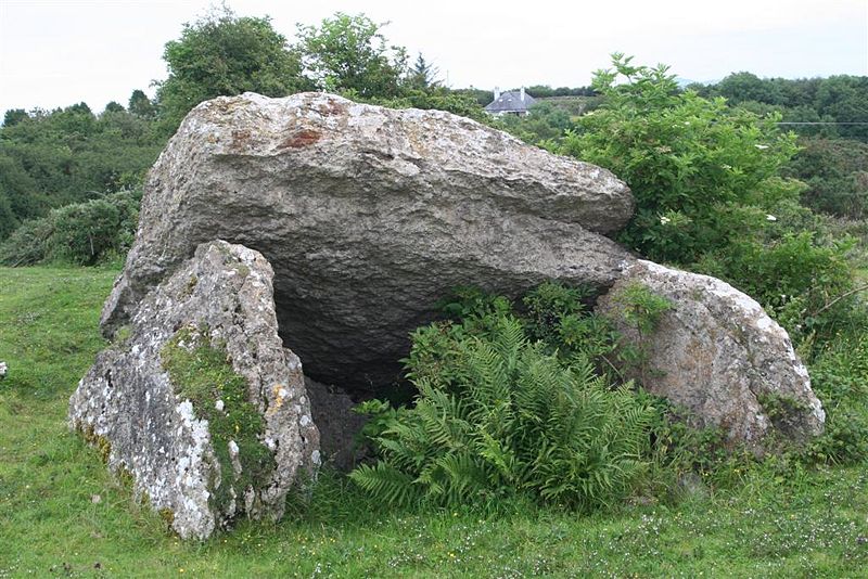
Pant-y-Saer Burial Chamber
Pant-y-Saer is a Neolithic dolmen near the small town of Benllech in Anglesey, Wales. This burial chamber is partially collapsed with the massive capstone...

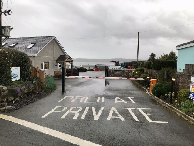
Benllech
Benllech (Welsh: [ˈbɛnɬɛχ]) is a large village on the Isle of Anglesey in Wales. It is in the community of Llanfair-Mathafarn-Eithaf, which has a population...
Nearby Amenities
Located within 500m of 53.311265,-4.227524Have you been to Coed y Glyn?
Leave your review of Coed y Glyn below (or comments, questions and feedback).