Coed y Foel

Wood, Forest in Cardiganshire

Wales

Coed y Foel

Newish house, Penlanfawr, Cwmsychbant
Newish house, Penlanfawr, Cwmsychbant Credit: Alex McGregor

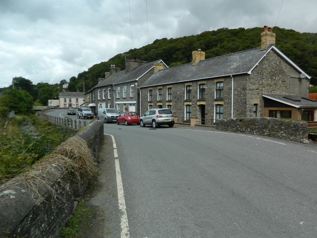
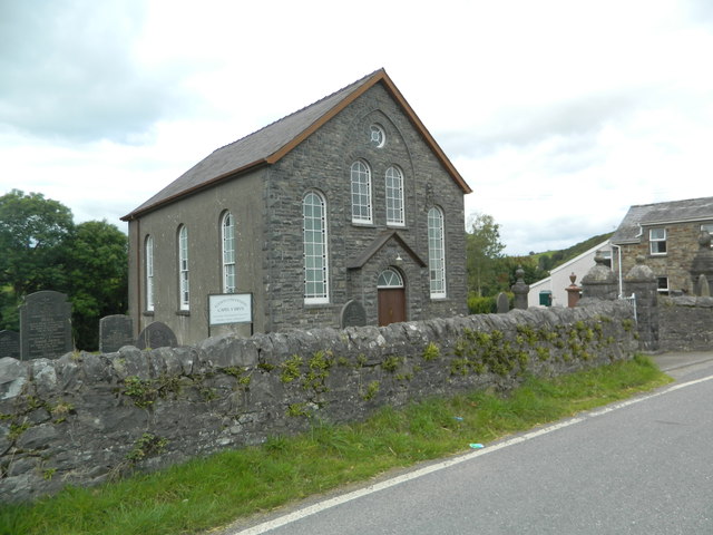
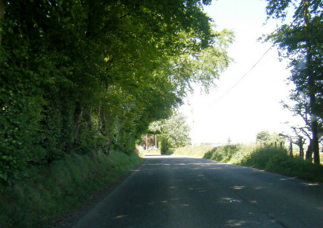
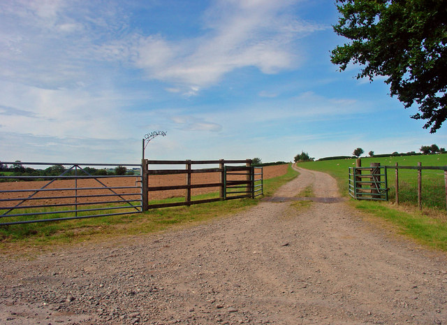
Coed y Foel is a picturesque woodland located in Cardiganshire, Wales. Covering an area of approximately 100 acres, it is a stunning example of the region's natural beauty and provides a haven for wildlife and nature enthusiasts alike.

The woodland is characterized by a diverse range of tree species, including oak, beech, hazel, and birch, creating a rich and varied ecosystem. The dense canopy of these trees provides shelter for a wide variety of bird species, such as woodpeckers, owls, and buzzards, making it a popular spot for birdwatching enthusiasts.

Coed y Foel also boasts a network of well-maintained walking trails, allowing visitors to explore the woodland in all its glory. These trails meander through the trees, offering glimpses of the local flora and fauna along the way. The peaceful atmosphere and tranquil surroundings make it an ideal location for those seeking a break from the hustle and bustle of everyday life.

In addition to its natural beauty, Coed y Foel holds historical significance. It is believed that the woodland has been in existence for centuries, with archaeological evidence suggesting human activity in the area dating back to the Bronze Age. It is also rumored to have inspired various local legends and folklore, adding a touch of mystique to its already enchanting appeal.

Overall, Coed y Foel is a hidden gem in Cardiganshire, offering visitors a chance to connect with nature, immerse themselves in history, and experience the tranquility of a truly magical woodland setting.

If you have any feedback on the listing, please let us know in the comments section below.
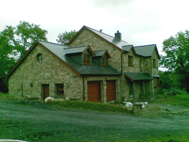
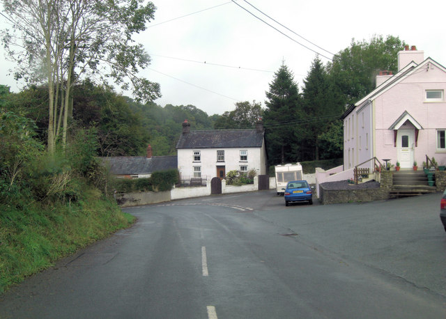
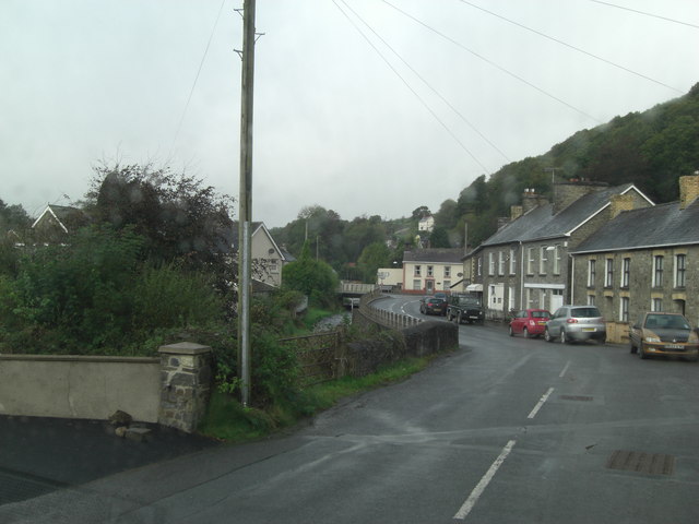
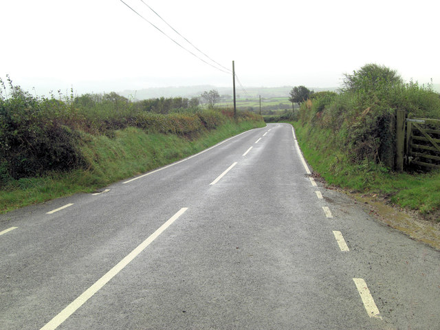
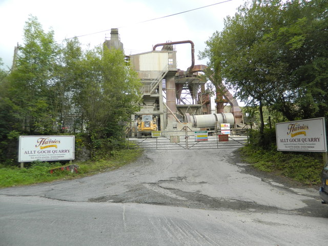
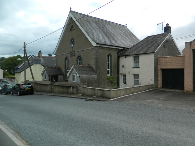
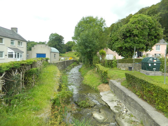
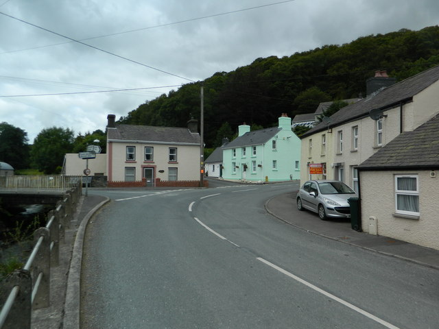
Coed y Foel Images

Images are sourced within 2km of 52.110315/-4.2090525 or Grid Reference SN4848. Thanks to Geograph Open Source API. All images are credited.

Newish house, Penlanfawr, Cwmsychbant
B4338 junction with minor road in Cwrtnewwydd
B4338 in centre of Cwrtnewwydd
B4338 west of Glynmeherin
Allt Goch Quarry
Allt Goch Quarry
Seion Chapel, Cwrtnewydd
The Nant Cledlyn at Cwrtnewydd
Crossroads, Cwrtnewydd
Bridge on the B4338, Cwrtnewydd
Capel y Bryn, Cwrtnewydd
A475 near Tyngrug-uchaf
Old Milestone by the A475, Cwmsychbant, Llanwenog parish Cardigan tombstone by the A475, in parish of Llanwenog (Ceredigion District), Cwmsychbant, East of Cwmsychbant, South side of road in hedge bank.

Inscription reads:-
CARDIGAN
22 MILES

Grade II listed by Cadw.
Reference Number: 18369 <span class="nowrap"><a title="https://cadwpublic-api.azurewebsites.net/reports/listedbuilding/FullReport?lang=&id=18369" rel="nofollow ugc noopener" href="https://cadwpublic-api.azurewebsites.net/reports/listedbuilding/FullReport?lang=&id=18369">Link</a><img style="margin-left:2px;" alt="External link" title="External link - shift click to open in new window" src="https://s1.geograph.org.uk/img/external.png" width="10" height="10"/></span>

Surveyed

Milestone Society National ID: CRD_CALA22
Old Milestone by the A475, Cwmsychbant, Llanwenog parish
Cardigan tombstone by the A475, in parish of Llanwenog (Ceredigion District), Cwmsychbant, East of Cwmsychbant, South side of road in hedge bank. Inscription reads:- CARDIGAN 22 MILES Grade II listed by Cadw. Reference Number: 18369 LinkExternal link Surveyed Milestone Society National ID: CRD_CALA22
Alltgoch Quarry Alltgoch Quarry is just off the B4338 just outside Cwrtnewydd.
Alltgoch Quarry
Alltgoch Quarry is just off the B4338 just outside Cwrtnewydd.
Red Lion Inn The Red Lion Inn is situated on the B4338 in the village of Cwrtnewydd.
Red Lion Inn
The Red Lion Inn is situated on the B4338 in the village of Cwrtnewydd.
Capel-y-Bryn Capel-y-Bryn sits on the B4338 in Cwrtnewydd.
Capel-y-Bryn
Capel-y-Bryn sits on the B4338 in Cwrtnewydd.
Ael y bryn cwrtnewydd
Houses near Tynffordd, Llanwenog
Track to Glwyd-wern, Llanwenog
Show me another place!

Coed y Foel is located at Grid Ref: SN4848 (Lat: 52.110315, Lng: -4.2090525)

Unitary Authority: Ceredigion

Police Authority: Dyfed Powys

What 3 Words

///casual.centrally.warns. Near Lampeter, Ceredigion

Nearby Locations

Coed y Foel

Related Wikis

Cwrtnewydd

Cwrtnewydd, or Cwrt-newydd, or Cwrt Newydd, is a village in the community and parish of Llanwenog, towards the south of the county of Ceredigion, Wales...

Aber, Ceredigion

Aber, Ceredigion is a hamlet in the community of Llanwenog, Ceredigion, Wales. Aber is represented in the Senedd by Elin Jones (Plaid Cymru) and is part...

Cwmsychbant

Cwmsychbant is a small village in the community of Llanwenog, Ceredigion, Wales, on the A475 road. Cwmsychbant is represented in the Senedd by Elin Jones...

Gorsgoch

Gorsgoch () is a small rural village located on the B4338 road near Lampeter in the county of Ceredigion, Wales. The town of Lampeter is 7 miles away and...

Drefach, Ceredigion

Drefach is a small village in the community of Llanwenog, Ceredigion, Wales. Dre-fach is represented in the Senedd by Elin Jones (Plaid Cymru) and is...

Llanwenog

Llanwenog is both a village and a community in Ceredigion, Wales. In 2011 the population of Llanwenog was 1,364, of whom 57.0% were able to speak Welsh...

St Gwenog's Church, Llanwenog

St Gwenog's Church is a Church in Wales church near Llanybydder, Ceredigion, Wales. It is a medieval building dating back to the late fourteenth century...
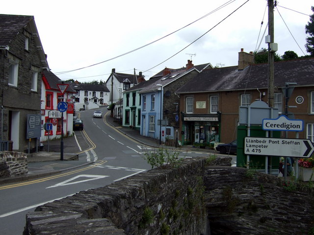
A475 road

The A475 road in Wales links Newcastle Emlyn in Carmarthenshire with Lampeter in Ceredigion; a distance of 19 miles (31 km). == History == The road, that...

Nearby Amenities

Located within 500m of 52.110315,-4.2090525
Cwrtnewydd
Is In: Ceredigion, Wales, UK
Place: village
Source: npe
Wikidata: Q13127611
Lat/Long: 52.1081389/-4.2066179
Post Box
Post Box Type: lamp
Lat/Long: 52.1085207/-4.2075093
Public Bookcase
Cyfnewid Llyfr Book Swap
Defibrillator
Booth: K6
Colour: green
Defibrillator Location: inside old red phone box (now painted green and used as a book exchange) in Cwrt newydd
Disused Amenity: telephone
Emergency: defibrillator
Man Made: telephone_box
Public Bookcase Type: phone_box
Lat/Long: 52.1085004/-4.207319
Shelter
Shelter Type: public_transport
Lat/Long: 52.1085333/-4.2073249
Direction: 175
Generator Method: photovoltaic
Generator Output Electricity: yes
Generator Solar Modules: 6
Generator Source: solar
Generator Type: solar_photovoltaic_panel
Location: roof
Power: generator
Lat/Long: 52.1068419/-4.2096989
Direction: 255
Generator Method: photovoltaic
Generator Output Electricity: yes
Generator Solar Modules: 10
Generator Source: solar
Generator Type: solar_photovoltaic_panel
Location: roof
Power: generator
Lat/Long: 52.1072333/-4.2041601
Direction: 175
Generator Method: photovoltaic
Generator Output Electricity: yes
Generator Solar Modules: 8
Generator Source: solar
Generator Type: solar_photovoltaic_panel
Location: roof
Power: generator
Lat/Long: 52.1068874/-4.2097485
Direction: 165
Generator Method: photovoltaic
Generator Output Electricity: yes
Generator Solar Modules: 14
Generator Source: solar
Generator Type: solar_photovoltaic_panel
Location: roof
Power: generator
Lat/Long: 52.1073042/-4.209491
Direction: 215
Generator Method: photovoltaic
Generator Output Electricity: yes
Generator Solar Modules: 6
Generator Source: solar
Generator Type: solar_photovoltaic_panel
Location: roof
Power: generator
Lat/Long: 52.1075813/-4.2102896
Direction: 125
Generator Method: photovoltaic
Generator Output Electricity: yes
Generator Solar Modules: 10
Generator Source: solar
Generator Type: solar_photovoltaic_panel
Location: roof
Power: generator
Lat/Long: 52.1075694/-4.2103681
Direction: 235
Generator Method: photovoltaic
Generator Output Electricity: yes
Generator Solar Modules: 16
Generator Source: solar
Generator Type: solar_photovoltaic_panel
Location: roof
Power: generator
Lat/Long: 52.1077737/-4.2099041
The data included in this document is from www.openstreetmap.org. The data is made available under ODbL.

Have you been to Coed y Foel?

Leave your review of Coed y Foel below (or comments, questions and feedback).