Coed-Glyn-iwrch

Wood, Forest in Caernarfonshire

Wales

Coed-Glyn-iwrch

Road junction south of Llanwnda Near the start of the new Caernarfon by-pass (still under construction)
Road junction south of Llanwnda Credit: Eirian Evans

Coed-Glyn-iwrch is a picturesque woodland situated in Caernarfonshire, a historic county in northwest Wales. Covering an area of approximately 100 hectares, this forest is nestled in the foothills of the Snowdonia National Park, offering breathtaking views of the surrounding landscape.

The woodland is characterized by its diverse range of tree species, including oak, beech, birch, and pine. These trees provide a rich habitat for a variety of wildlife, such as red squirrels, badgers, and a plethora of bird species. It is also home to a number of rare and protected plants, adding to its ecological significance.

Coed-Glyn-iwrch is a popular destination for nature enthusiasts and outdoor enthusiasts alike. The forest offers a network of walking trails, allowing visitors to explore its natural beauty at their own pace. These paths wind through the trees, providing a tranquil and peaceful setting for leisurely strolls or more adventurous hikes.

For those seeking a unique experience, the forest also offers camping facilities, allowing visitors to spend a night under the stars surrounded by nature. This provides an opportunity to truly immerse oneself in the peaceful ambiance of the woodland and enjoy the sounds of the surrounding wildlife.

Coed-Glyn-iwrch is not only a haven for nature lovers but also a valuable resource for educational purposes. The forest offers educational programs and guided tours, aimed at increasing awareness of the importance of woodland conservation and the protection of native species.

Overall, Coed-Glyn-iwrch is a captivating woodland that offers visitors a chance to reconnect with nature and experience the beauty of the Welsh countryside.

If you have any feedback on the listing, please let us know in the comments section below.

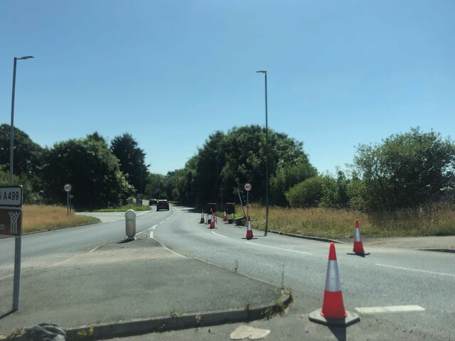
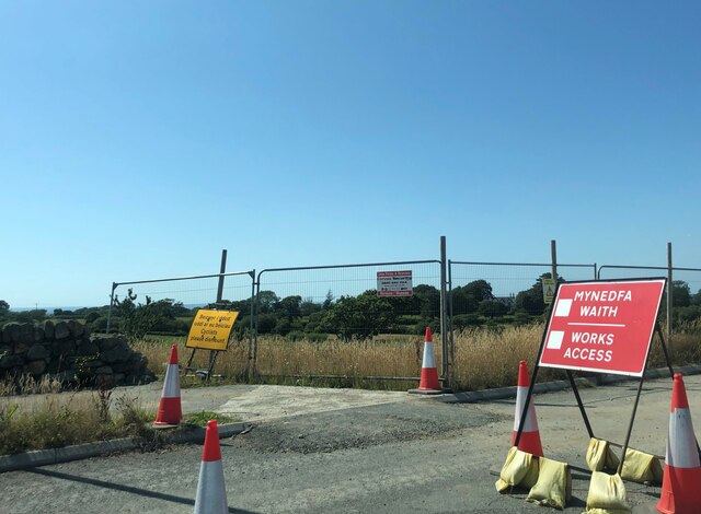
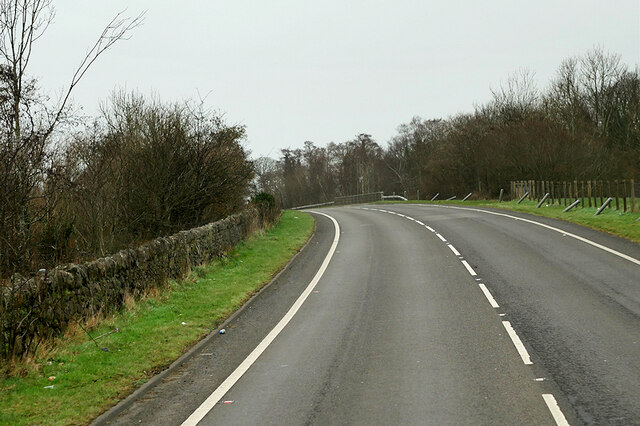
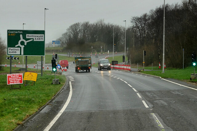
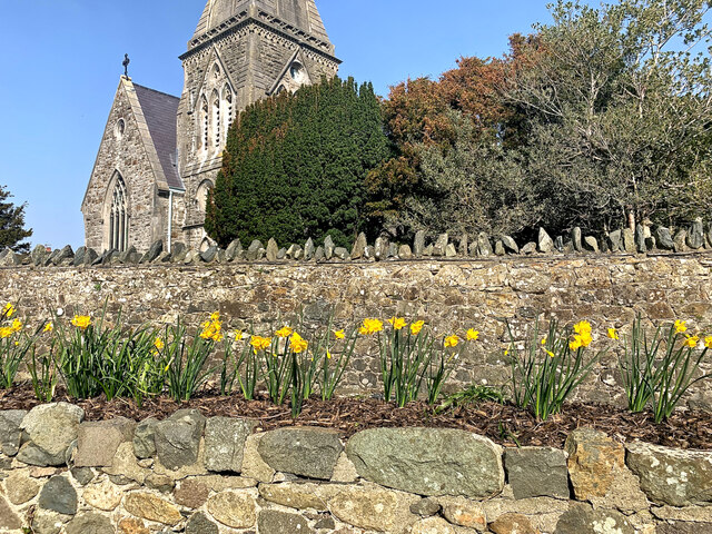
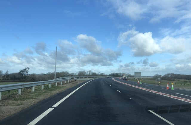
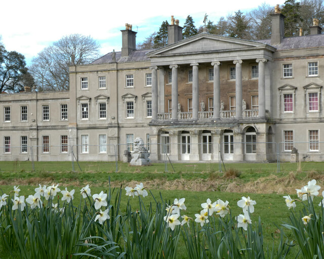
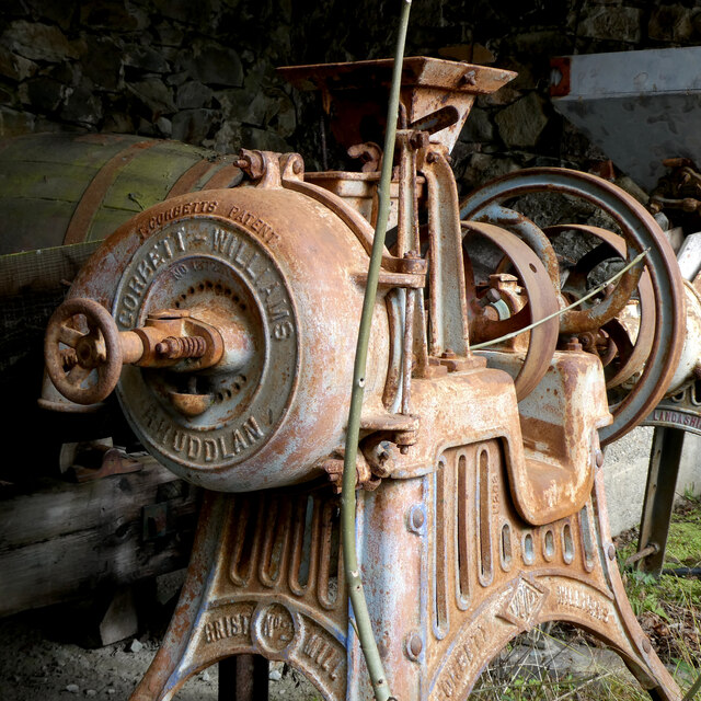
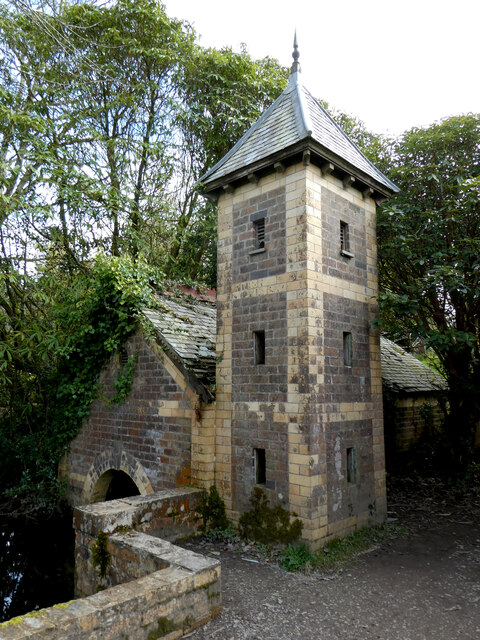
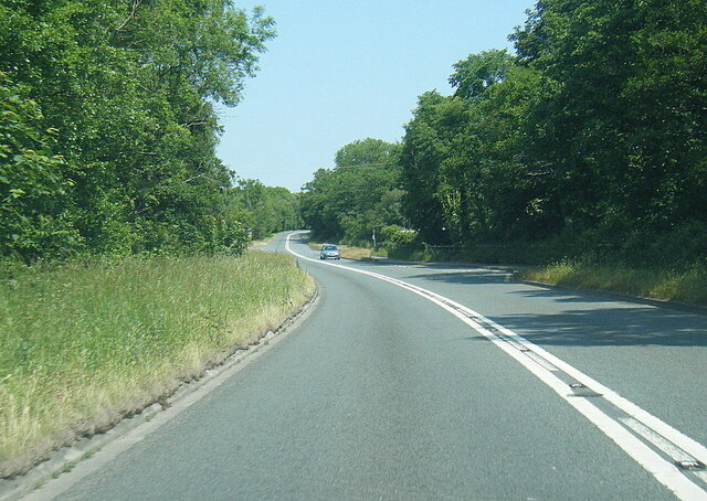
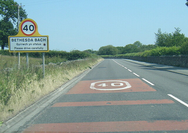
Coed-Glyn-iwrch Images

Images are sourced within 2km of 53.083212/-4.3026473 or Grid Reference SH4556. Thanks to Geograph Open Source API. All images are credited.

Road junction south of Llanwnda Near the start of the new Caernarfon by-pass (still under construction)
Road junction south of Llanwnda
Near the start of the new Caernarfon by-pass (still under construction)
Works access at the western end of the new Caernarfon By-pass The by-pass is due to be opened in February 2022
Works access at the western end of the new Caernarfon By-pass
The by-pass is due to be opened in February 2022
A487 at Groeslon Roundabout The A487 is one of the most important roads in Wales. It covers the majority of the west coast from St Davids to Menai Bridge, and is a primary route for most of its length, including a section where it multiplexes with the A470, another important north-south road. Along the way, it runs through two national parks: Snowdonia and Pembrokeshire Coast. Despite its length and importance, it is predominantly single carriageway, although the road has been upgraded in numerous places. It is 174 miles long.
<span class="nowrap"><a title="http://www.sabre-roads.org.uk/wiki/index.php?title=A487" rel="nofollow ugc noopener" href="http://www.sabre-roads.org.uk/wiki/index.php?title=A487">Link</a><img style="margin-left:2px;" alt="External link" title="External link - shift click to open in new window" src="https://s1.geograph.org.uk/img/external.png" width="10" height="10"/></span>
A487 at Groeslon Roundabout
The A487 is one of the most important roads in Wales. It covers the majority of the west coast from St Davids to Menai Bridge, and is a primary route for most of its length, including a section where it multiplexes with the A470, another important north-south road. Along the way, it runs through two national parks: Snowdonia and Pembrokeshire Coast. Despite its length and importance, it is predominantly single carriageway, although the road has been upgraded in numerous places. It is 174 miles long. LinkExternal link
A487 north of Groeslon The A487 is one of the most important roads in Wales. It covers the majority of the west coast from St Davids to Menai Bridge, and is a primary route for most of its length, including a section where it multiplexes with the A470, another important north-south road. Along the way, it runs through two national parks: Snowdonia and Pembrokeshire Coast. Despite its length and importance, it is predominantly single carriageway, although the road has been upgraded in numerous places. It is 174 miles long.
<span class="nowrap"><a title="http://www.sabre-roads.org.uk/wiki/index.php?title=A487" rel="nofollow ugc noopener" href="http://www.sabre-roads.org.uk/wiki/index.php?title=A487">Link</a><img style="margin-left:2px;" alt="External link" title="External link - shift click to open in new window" src="https://s1.geograph.org.uk/img/external.png" width="10" height="10"/></span>
A487 north of Groeslon
The A487 is one of the most important roads in Wales. It covers the majority of the west coast from St Davids to Menai Bridge, and is a primary route for most of its length, including a section where it multiplexes with the A470, another important north-south road. Along the way, it runs through two national parks: Snowdonia and Pembrokeshire Coast. Despite its length and importance, it is predominantly single carriageway, although the road has been upgraded in numerous places. It is 174 miles long. LinkExternal link
A487 at Goat Roundabout The A487 is one of the most important roads in Wales. It covers the majority of the west coast from St Davids to Menai Bridge, and is a primary route for most of its length, including a section where it multiplexes with the A470, another important north-south road. Along the way, it runs through two national parks: Snowdonia and Pembrokeshire Coast. Despite its length and importance, it is predominantly single carriageway, although the road has been upgraded in numerous places. It is 174 miles long.
<span class="nowrap"><a title="http://www.sabre-roads.org.uk/wiki/index.php?title=A487" rel="nofollow ugc noopener" href="http://www.sabre-roads.org.uk/wiki/index.php?title=A487">Link</a><img style="margin-left:2px;" alt="External link" title="External link - shift click to open in new window" src="https://s1.geograph.org.uk/img/external.png" width="10" height="10"/></span>
A487 at Goat Roundabout
The A487 is one of the most important roads in Wales. It covers the majority of the west coast from St Davids to Menai Bridge, and is a primary route for most of its length, including a section where it multiplexes with the A470, another important north-south road. Along the way, it runs through two national parks: Snowdonia and Pembrokeshire Coast. Despite its length and importance, it is predominantly single carriageway, although the road has been upgraded in numerous places. It is 174 miles long. LinkExternal link
Waliau Llandwrog From the garden of Ty'n Llan, the Harp Inn, looking over assorted walls to the church of St Twrog.
Waliau Llandwrog
From the garden of Ty'n Llan, the Harp Inn, looking over assorted walls to the church of St Twrog.
Caernarfon's new by-pass Five days after it was opened. It was one of the largest recent infrastructure projects in North Wales, the 9.7km bypass running from the Goat Roundabout on the A499/A487 to the Plas Menai roundabout.
Caernarfon's new by-pass
Five days after it was opened. It was one of the largest recent infrastructure projects in North Wales, the 9.7km bypass running from the Goat Roundabout on the A499/A487 to the Plas Menai roundabout.
The bike shop at Blythe Farm industrial estate
"Fe'th welais di ar lawnt y Plas" The title of the image is from a poem by ID Hooson, which means "I saw thee on the manor lawn", referring to the free spirit of daffodils in their natural state.
"Fe'th welais di ar lawnt y Plas"
The title of the image is from a poem by ID Hooson, which means "I saw thee on the manor lawn", referring to the free spirit of daffodils in their natural state.
Melin flawd Corbett Williams / Corbett Williams grit mill
Ty Falf / Valve House This valve house regulated flow through the leat to the watermill.   It is a far more elaborate building than the watermill that it served.
Ty Falf / Valve House
This valve house regulated flow through the leat to the watermill. It is a far more elaborate building than the watermill that it served.
A499 near Glynllifon
A499 east of Llandwrog
A499 at Bethesda Bach village boundary
A499 at Ty-hen junction
Wales Coast Path crossing the Afon Carrog At the southern end of Foryd Bay.
Wales Coast Path crossing the Afon Carrog
At the southern end of Foryd Bay.
The southern end of Foryd Bay A high Spring tide in the bay which is a Site of Special Scientific Interest and a Local Nature Reserve.
The southern end of Foryd Bay
A high Spring tide in the bay which is a Site of Special Scientific Interest and a Local Nature Reserve.
Wales Coast Path crossing the Afon Carrog At the southern end of Foryd Bay, which is a Site of Special Scientific Interest and a Local Nature Reserve.
Wales Coast Path crossing the Afon Carrog
At the southern end of Foryd Bay, which is a Site of Special Scientific Interest and a Local Nature Reserve.
Show me another place!

Coed-Glyn-iwrch is located at Grid Ref: SH4556 (Lat: 53.083212, Lng: -4.3026473)

Unitary Authority: Gwynedd

Police Authority: North Wales

What 3 Words

///sampling.depths.abstracts. Near Llanwnda, Gwynedd

Related Wikis

Llandwrog

Llandwrog (; Welsh language: meaning 'The church of Saint Twrog') is a village and community in Gwynedd, north-west Wales, most notable for the presence...

Glynllifon

Glynllifon is the name of the old estate which belonged to the Barons Newborough, near the village of Llandwrog on the main A499 road between Pwllheli...

Groeslon railway station

Groeslon railway station served the village of Groeslon, Gwynedd, Wales. It operated first as part of the Nantlle Tramway and afterwards as a railway under...

Groeslon

Groeslon (; Welsh: Y Groeslon, "the crossroads") is a small village in the community of Llandwrog in the Welsh traditional county of Caernarfonshire....

Llanwnda railway station

Llanwnda railway station served the village of Llanwnda, Gwynedd, Wales. == History == A halt named Pwllheli Road existed here on the horse-drawn Nantlle...

Dinas Dinlle

Dinas Dinlle is a small settlement in Gwynedd, north-west Wales which is also, historically, part of Caernarfonshire. == Description == Dinas Dinlle has...
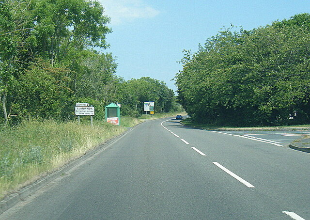
Llanwnda, Gwynedd

Llanwnda is a village, community and electoral ward in Gwynedd, Wales. The community has a population of 1,994 as taken at the 2011 Census. It is situated...

Afon Gwyrfai

The Afon Gwyrfai is a short river in Gwynedd, Wales. For half of its length it flows through Snowdonia National Park. Exiting Llyn y Gader it flows north...

Have you been to Coed-Glyn-iwrch?

Leave your review of Coed-Glyn-iwrch below (or comments, questions and feedback).