Coed Gwyddelod
Wood, Forest in Caernarfonshire
Wales
Coed Gwyddelod
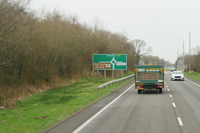
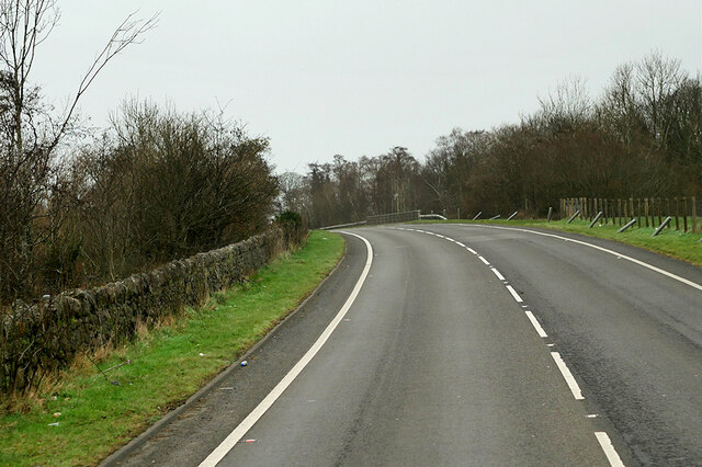
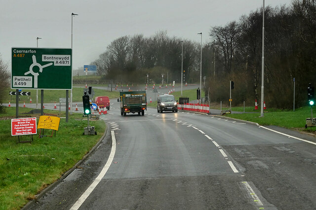
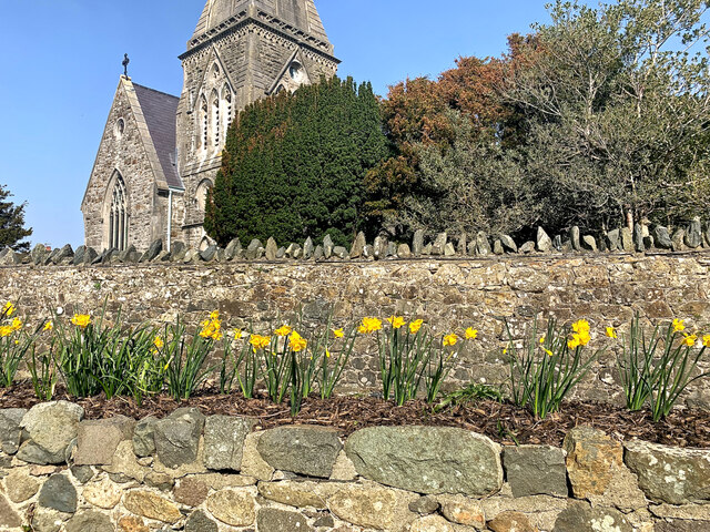
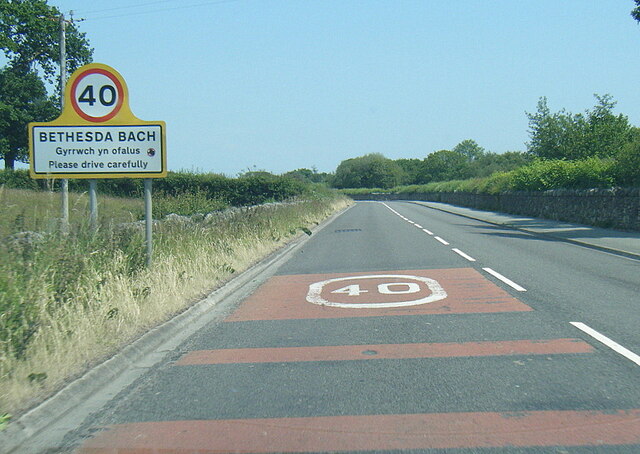
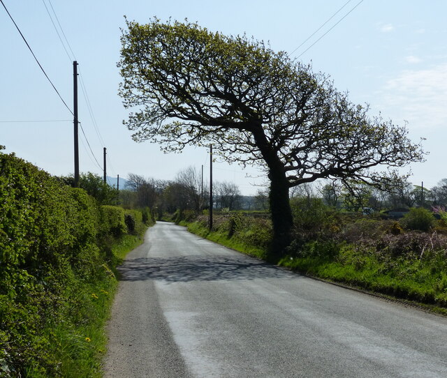
Coed Gwyddelod is a dense woodland located in the county of Caernarfonshire, Wales. Situated near the town of Caernarfon, the forest covers an area of approximately 500 acres and is rich in natural beauty and biodiversity.
The forest is predominantly composed of native tree species such as oak, beech, and birch, creating a diverse and thriving ecosystem. The dense canopy provides ample shade and shelter for a variety of wildlife, including numerous bird species, mammals, and insects.
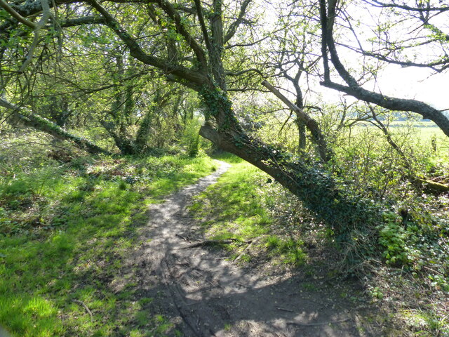
Coed Gwyddelod offers a tranquil and serene environment for visitors to explore and enjoy the wonders of nature. Numerous well-maintained walking trails wind their way through the forest, allowing visitors to immerse themselves in the peaceful ambiance and discover the hidden treasures within.
The forest is also home to a range of plant species, including vibrant wildflowers that bloom throughout the year, adding bursts of color to the green landscape. It is a popular destination for nature enthusiasts, hikers, and photographers who seek to capture the beauty of the Welsh countryside.
In addition to its natural beauty, Coed Gwyddelod holds historical significance as well. It is believed that the forest has been in existence for centuries and has witnessed various historical events, contributing to the cultural heritage of the region.
Overall, Coed Gwyddelod in Caernarfonshire offers a picturesque woodland experience, where visitors can explore nature, unwind, and connect with the rich biodiversity of the area.
If you have any feedback on the listing, please let us know in the comments section below.
Coed Gwyddelod Images
Images are sourced within 2km of 53.081215/-4.3027348 or Grid Reference SH4556. Thanks to Geograph Open Source API. All images are credited.


Coed Gwyddelod is located at Grid Ref: SH4556 (Lat: 53.081215, Lng: -4.3027348)
Unitary Authority: Gwynedd
Police Authority: North Wales
What 3 Words
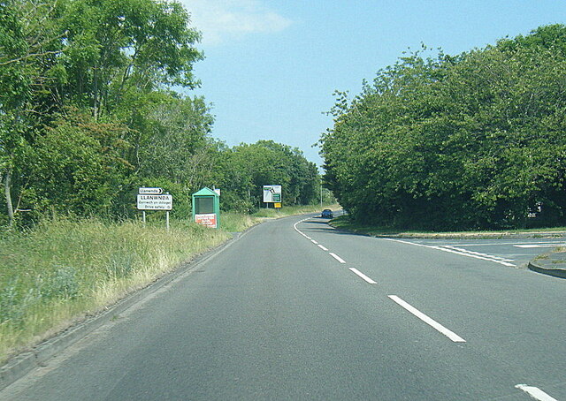
///dried.leader.sweated. Near Llanwnda, Gwynedd
Nearby Locations
Related Wikis

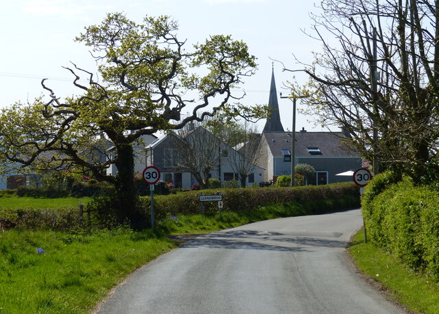
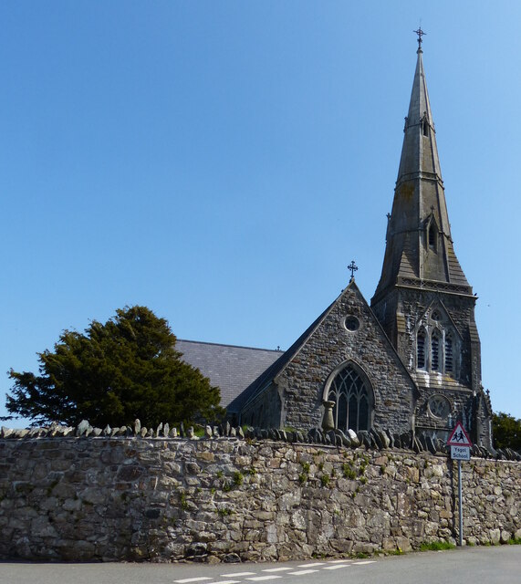
Llandwrog
Llandwrog (; Welsh language: meaning 'The church of Saint Twrog') is a village and community in Gwynedd, north-west Wales, most notable for the presence...

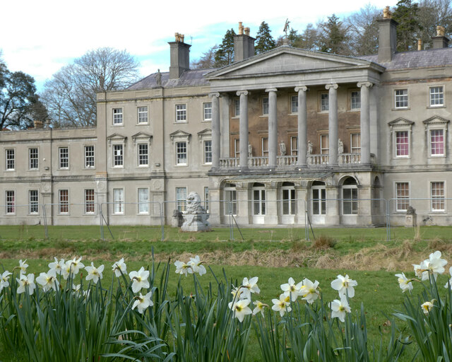
Glynllifon
Glynllifon is the name of the old estate which belonged to the Barons Newborough, near the village of Llandwrog on the main A499 road between Pwllheli...
Groeslon railway station
Groeslon railway station served the village of Groeslon, Gwynedd, Wales. It operated first as part of the Nantlle Tramway and afterwards as a railway under...

Groeslon
Groeslon (; Welsh: Y Groeslon, "the crossroads") is a small village in the community of Llandwrog in the Welsh traditional county of Caernarfonshire....
Nearby Amenities
Located within 500m of 53.081215,-4.3027348Have you been to Coed Gwyddelod?
Leave your review of Coed Gwyddelod below (or comments, questions and feedback).