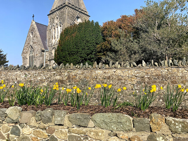
Llandwrog
Settlement in Caernarfonshire
Wales
Llandwrog
The requested URL returned error: 429 Too Many Requests
If you have any feedback on the listing, please let us know in the comments section below.
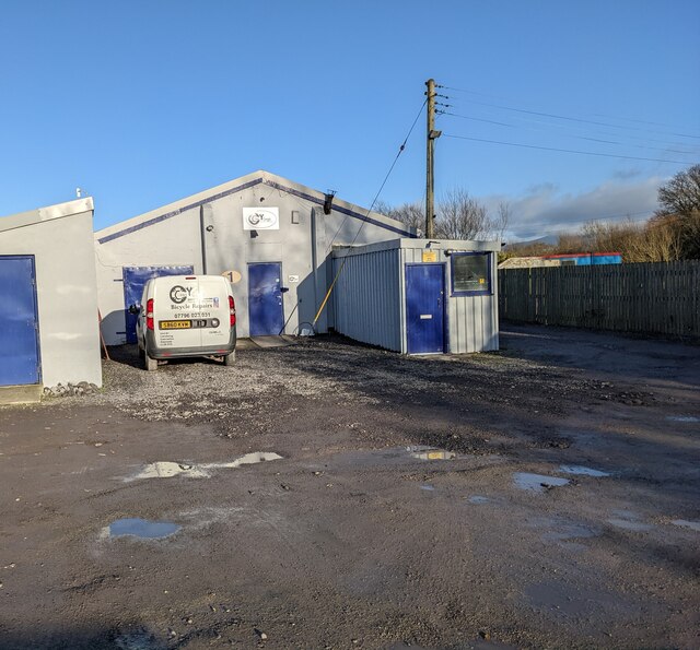
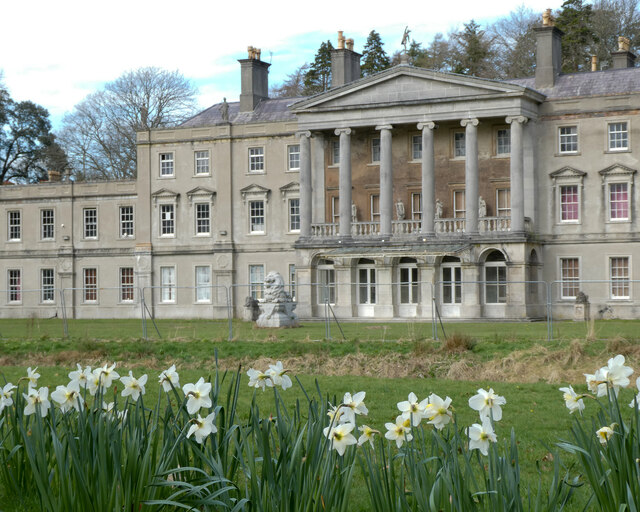
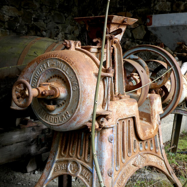
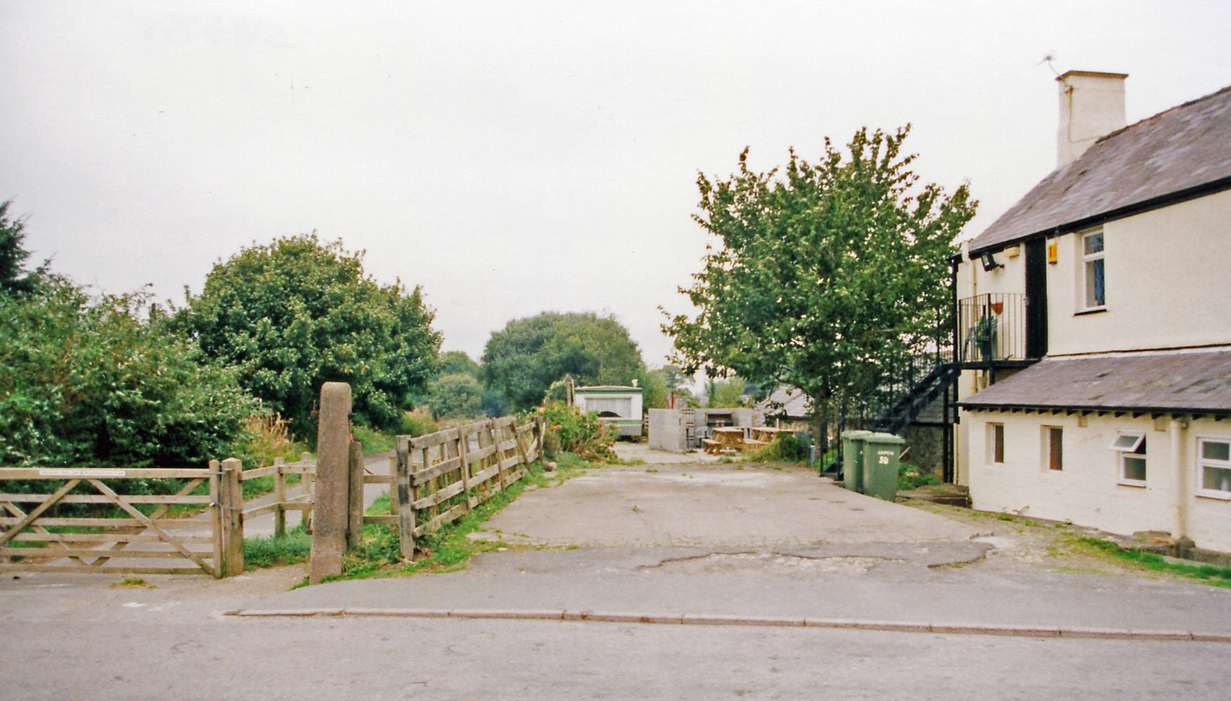
Llandwrog Images
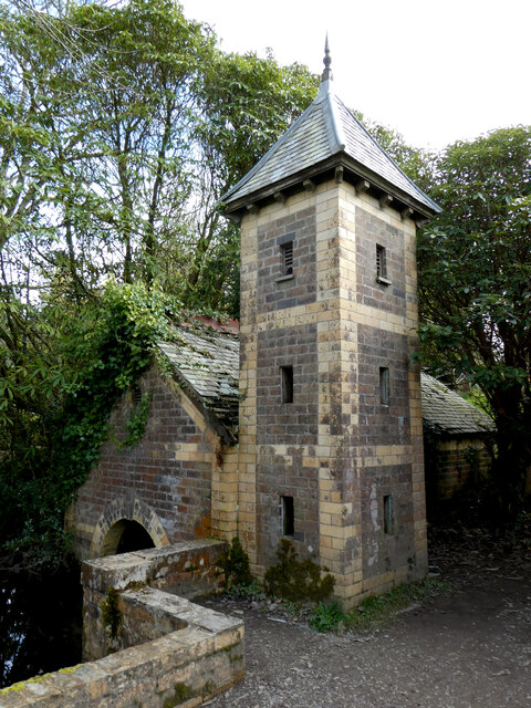
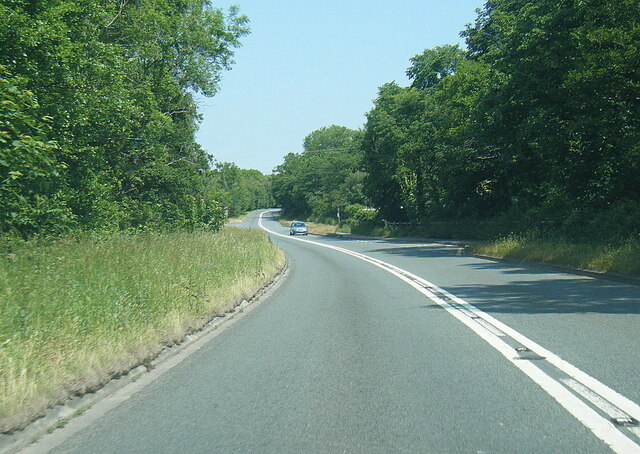
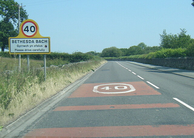
Images are sourced within 2km of 53.080127/-4.313737 or Grid Reference SH4556. Thanks to Geograph Open Source API. All images are credited.


Llandwrog is located at Grid Ref: SH4556 (Lat: 53.080127, Lng: -4.313737)
Unitary Authority: Gwynedd
Police Authority: North Wales
What 3 Words
///prude.built.bagpipes. Near Penygroes, Gwynedd
Nearby Locations
Related Wikis

Llandwrog
Llandwrog (; Welsh language: meaning 'The church of Saint Twrog') is a village and community in Gwynedd, north-west Wales, most notable for the presence...

Glynllifon
Glynllifon is the name of the old estate which belonged to the Barons Newborough, near the village of Llandwrog on the main A499 road between Pwllheli...
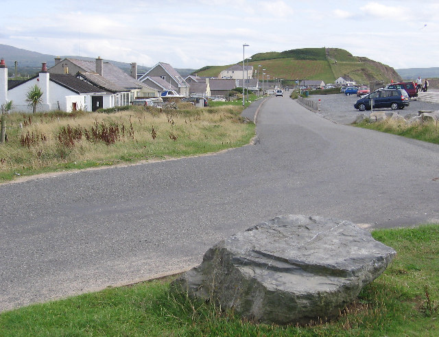
Dinas Dinlle
Dinas Dinlle is a small settlement in Gwynedd, north-west Wales which is also, historically, part of Caernarfonshire. == Description == Dinas Dinlle has...
Groeslon railway station
Groeslon railway station served the village of Groeslon, Gwynedd, Wales. It operated first as part of the Nantlle Tramway and afterwards as a railway under...
Related Videos
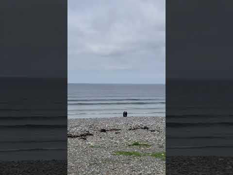


6 May 2024
Dinas Dille beach North Wales

Nearby Amenities
Located within 500m of 53.080127,-4.313737Have you been to Llandwrog?
Leave your review of Llandwrog below (or comments, questions and feedback).