Allt y Glyn

Wood, Forest in Cardiganshire

Wales

Allt y Glyn

The Gwarcefel Arms Five roads meet beside this pub: A475, B4476 and two un-named local lanes. Should be good for the passing trade!
The Gwarcefel Arms Credit: Stuart Logan

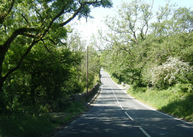
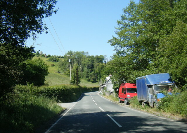
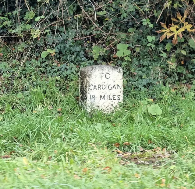
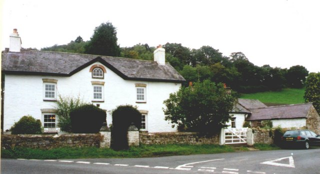
Allt y Glyn is a picturesque woodland located in the county of Cardiganshire, Wales. Situated amidst the stunning Welsh countryside, this enchanting forest is a haven for nature lovers and outdoor enthusiasts alike.

Covering an area of approximately 500 acres, Allt y Glyn showcases the diverse flora and fauna that make this region so unique. The woodland is primarily composed of native trees such as oak, ash, and birch, creating a rich and vibrant habitat for a wide array of wildlife. Visitors can expect to spot various bird species, including woodpeckers and red kites, as well as small mammals like badgers and foxes.

The forest offers a multitude of walking trails, allowing visitors to explore and immerse themselves in the serene surroundings. The paths wind through ancient woodlands, across babbling brooks, and up gentle hills, offering breathtaking views of the surrounding countryside. For those seeking a longer adventure, there are also connections to larger hiking routes, such as the famous Ceredigion Coast Path.

Allt y Glyn is not only a haven for nature enthusiasts but also a site of historical significance. The woodland is rich in archaeological remains, with evidence of human activity dating back thousands of years. Visitors may stumble upon iron-age hill forts, burial mounds, or even remnants of ancient settlements, providing a fascinating glimpse into the area's past.

Overall, Allt y Glyn is a truly enchanting woodland, offering a tranquil escape from the hustle and bustle of everyday life. Its natural beauty, diverse wildlife, and historical significance make it a must-visit destination for anyone exploring the Cardiganshire region.

If you have any feedback on the listing, please let us know in the comments section below.
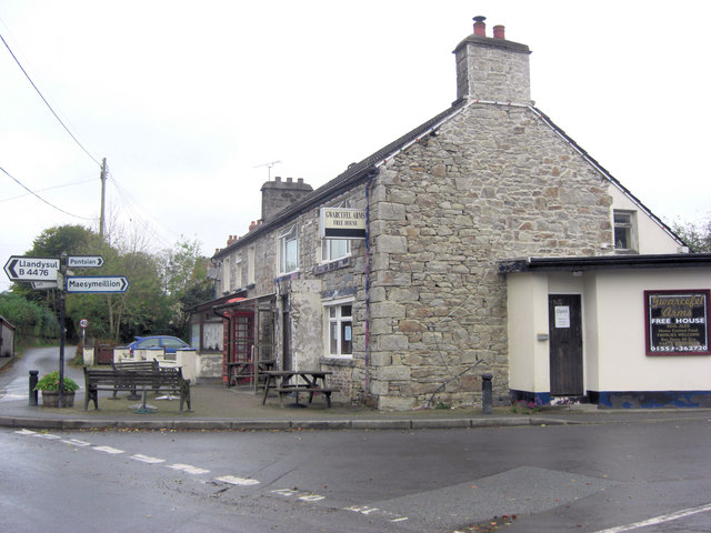
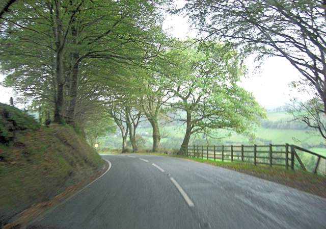
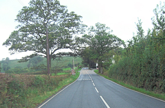
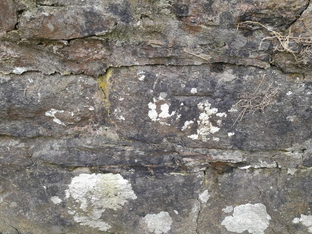
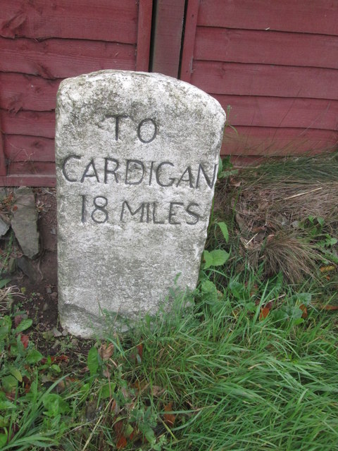
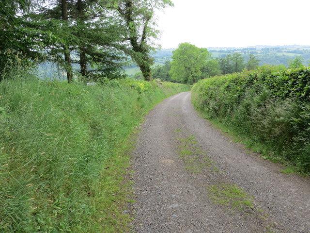
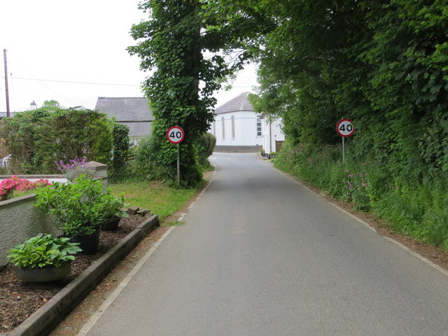
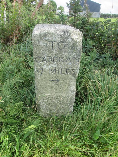
Allt y Glyn Images

Images are sourced within 2km of 52.072902/-4.3270098 or Grid Reference SN4044. Thanks to Geograph Open Source API. All images are credited.

The Gwarcefel Arms Five roads meet beside this pub: A475, B4476 and two un-named local lanes. Should be good for the passing trade!
The Gwarcefel Arms
Five roads meet beside this pub: A475, B4476 and two un-named local lanes. Should be good for the passing trade!
A475 north of Pant-gwyn
A475 crossroads at Gorrig
Ordnance Survey Cut Mark This OS cut mark can be found on the wall SW side of the road. It marks a point 113.090m above mean sea level.
Ordnance Survey Cut Mark
This OS cut mark can be found on the wall SW side of the road. It marks a point 113.090m above mean sea level.
A475 at Pont y Gorrig
A475 at Sychbant
A475 at Sychbant
Old Milestone by the A475, Pren-gwyn, Llandysul Parish Cardigan tombstone by the A475, in parish of Llandysul (Ceredigion District), Pren-gwyn, West of crossroads against fence.

Inscription reads:-
TO
CARDIGAN
18 MILES 

Grade II listed by Cadw. Reference Number: 10627
<span class="nowrap"><a title="https://cadwpublic-api.azurewebsites.net/reports/listedbuilding/FullReport?lang=&id=10627" rel="nofollow ugc noopener" href="https://cadwpublic-api.azurewebsites.net/reports/listedbuilding/FullReport?lang=&id=10627">Link</a><img style="margin-left:2px;" alt="External link" title="External link - shift click to open in new window" src="https://s1.geograph.org.uk/img/external.png" width="10" height="10"/></span>

Surveyed

Milestone Society National ID: CRD_CALA18
Old Milestone by the A475, Pren-gwyn, Llandysul Parish
Cardigan tombstone by the A475, in parish of Llandysul (Ceredigion District), Pren-gwyn, West of crossroads against fence. Inscription reads:- TO CARDIGAN 18 MILES Grade II listed by Cadw. Reference Number: 10627 LinkExternal link Surveyed Milestone Society National ID: CRD_CALA18
Ordnance Survey Cut Mark This OS cut mark can be found on the corner of the Gwarcefel Arms, Pren-Gwyn.
Ordnance Survey Cut Mark
This OS cut mark can be found on the corner of the Gwarcefel Arms, Pren-Gwyn.
Milestone - Cardigan 18
Track leading to Gellifaharen Looking westward.
Track leading to Gellifaharen
Looking westward.
Road (B4476) approaching the A475 in Pren-gwyn Looking north-eastward.
Road (B4476) approaching the A475 in Pren-gwyn
Looking north-eastward.
Old Milestone by the A475, Pren-gwyn, Llandysul Parish Cardigan tombstone by the A475, in parish of Llandysul (Ceredigion District), Pren-gwyn, West of crossroads against fence.

Inscription reads:-
TO
CARDIGAN
18 MILES 

Grade II listed by Cadw. Reference Number: 10627
<span class="nowrap"><a title="https://cadwpublic-api.azurewebsites.net/reports/listedbuilding/FullReport?lang=&id=10627" rel="nofollow ugc noopener" href="https://cadwpublic-api.azurewebsites.net/reports/listedbuilding/FullReport?lang=&id=10627">Link</a><img style="margin-left:2px;" alt="External link" title="External link - shift click to open in new window" src="https://s1.geograph.org.uk/img/external.png" width="10" height="10"/></span>

Surveyed

Milestone Society National ID: CRD_CALA18
Old Milestone by the A475, Pren-gwyn, Llandysul Parish
Cardigan tombstone by the A475, in parish of Llandysul (Ceredigion District), Pren-gwyn, West of crossroads against fence. Inscription reads:- TO CARDIGAN 18 MILES Grade II listed by Cadw. Reference Number: 10627 LinkExternal link Surveyed Milestone Society National ID: CRD_CALA18
Old Milestone by the A475, Lampeter Road, Pont y Gorrig Cardigan tombstone by the A475, in parish of Llandysul (Ceredigion District), Lampeter Road, Gorrig, Pont y Gorrig.

Inscription reads:-
TO
CARDIGAN
17 MILES
{arrow}

Grade II Listed by Cadw.
Reference Number: 10603 <span class="nowrap"><a title="https://cadwpublic-api.azurewebsites.net/reports/listedbuilding/FullReport?lang=&id=10603" rel="nofollow ugc noopener" href="https://cadwpublic-api.azurewebsites.net/reports/listedbuilding/FullReport?lang=&id=10603">Link</a><img style="margin-left:2px;" alt="External link" title="External link - shift click to open in new window" src="https://s1.geograph.org.uk/img/external.png" width="10" height="10"/></span>

Surveyed

Milestone Society National ID: CRD_CALA17
Old Milestone by the A475, Lampeter Road, Pont y Gorrig
Cardigan tombstone by the A475, in parish of Llandysul (Ceredigion District), Lampeter Road, Gorrig, Pont y Gorrig. Inscription reads:- TO CARDIGAN 17 MILES {arrow} Grade II Listed by Cadw. Reference Number: 10603 LinkExternal link Surveyed Milestone Society National ID: CRD_CALA17
Ordnance Survey Cut Mark This OS cut mark can be found on the wall of Is Crauddyn. It marks a point 197.969m above mean sea level.
Ordnance Survey Cut Mark
This OS cut mark can be found on the wall of Is Crauddyn. It marks a point 197.969m above mean sea level.
Capel Pant-y-Defaid, Pren-Gwyn Capel Pant-y-Defaid is a Unitarian Chapel in Pren-Gwyn, originally built as a schoolroom in 1802. The chapel has been rebuilt twice, in 1836 and 1898. The present chapel dates from 1898 and is built in the Classical style.
Capel Pant-y-Defaid, Pren-Gwyn
Capel Pant-y-Defaid is a Unitarian Chapel in Pren-Gwyn, originally built as a schoolroom in 1802. The chapel has been rebuilt twice, in 1836 and 1898. The present chapel dates from 1898 and is built in the Classical style.
Ordnance Survey Cut Mark This OS cut mark can be found on the roadside building at Gelli-Fraith Farm. It marks a point 136.566m above mean sea level.
Ordnance Survey Cut Mark
This OS cut mark can be found on the roadside building at Gelli-Fraith Farm. It marks a point 136.566m above mean sea level.
Gorrig Farmhouse A Grade II listed building that was built in 1805
Gorrig Farmhouse
A Grade II listed building that was built in 1805
Chapel at Prengwyn
Chapel at Prengwyn
Show me another place!

Allt y Glyn is located at Grid Ref: SN4044 (Lat: 52.072902, Lng: -4.3270098)

Unitary Authority: Ceredigion

Police Authority: Dyfed Powys

What 3 Words

///cabbies.solo.younger. Near Llandysul, Ceredigion

Related Wikis

Tregroes

Tregroes (Welsh: Tregroes, "Settlement of the Cross") is a hamlet in the community of Llandysul, Ceredigion, Wales, which is 64.1 miles (103.2 km) from...

Troedrhiwffenyd

Troedrhiwffenyd is a hamlet in the community of Llandysul, Ceredigion, Wales, which is 63.2 miles (101.7 km) from Cardiff and 183.2 miles (294.8 km) from...

Pentrellwyn

Pentrellwyn is a small village in the community of Llandysul, Ceredigion, Wales. Pentrellwyn is represented in the Senedd by Elin Jones (Plaid Cymru) and...

Pren-gwyn

Pren-gwyn is a small village in the community of Llandysul, Ceredigion, Wales, which is 63.1 miles (101.6 km) from Cardiff and 182.5 miles (293.6 km)...

Coedyfoel

Coedyfoel is a small village in the community of Llandysul, Ceredigion, Wales, which is 62.8 miles (101 km) from Cardiff and 182.3 miles (293.4 km) from...

Croes-lan

Croes-lan is a small village in the community of Troedyraur, Ceredigion, Wales, which is 65.2 miles (104.9 km) from Cardiff and 185.1 miles (297.8 km...

Faerdrefawr

Faerdrefawr is a small village in the community of Llandysul, Ceredigion, Wales, which is 62.2 miles (100 km) from Cardiff and 182 miles (293 km) from...

Bryngolau

Bryngolau is a small village in the community of Llandysul, Ceredigion, Wales, which is 62.2 miles (100.1 km) from Cardiff and 181.5 miles (292.1 km)...

Nearby Amenities

Located within 500m of 52.072902,-4.3270098
Bryn Cnwc-Dysul
Ele: 202
Natural: peak
Lat/Long: 52.0716033/-4.3308296
Direction: SSW
Generator Method: photovoltaic
Generator Output Electricity: yes
Generator Solar Modules: 16
Generator Source: solar
Generator Type: solar_photovoltaic_panel
Location: roof
Power: generator
Lat/Long: 52.0713424/-4.3319687
The data included in this document is from www.openstreetmap.org. The data is made available under ODbL.

Have you been to Allt y Glyn?

Leave your review of Allt y Glyn below (or comments, questions and feedback).