Coed Brynllyn
Wood, Forest in Caernarfonshire
Wales
Coed Brynllyn
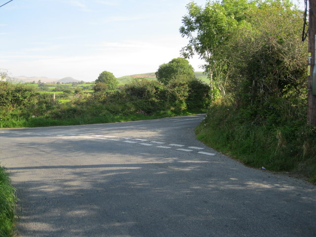
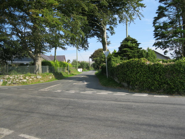
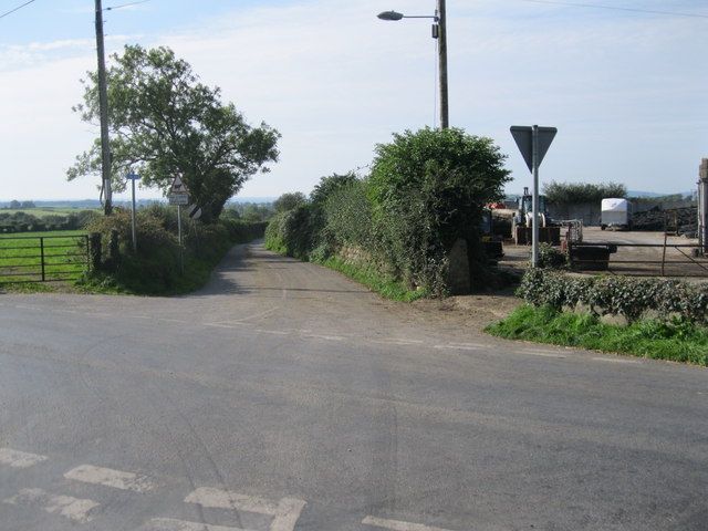
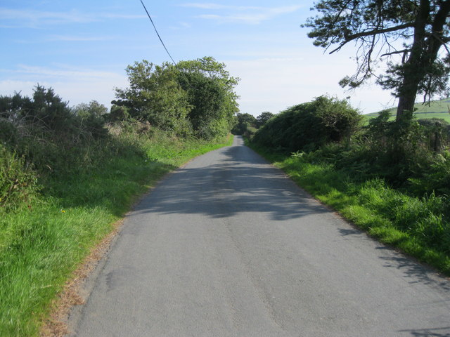
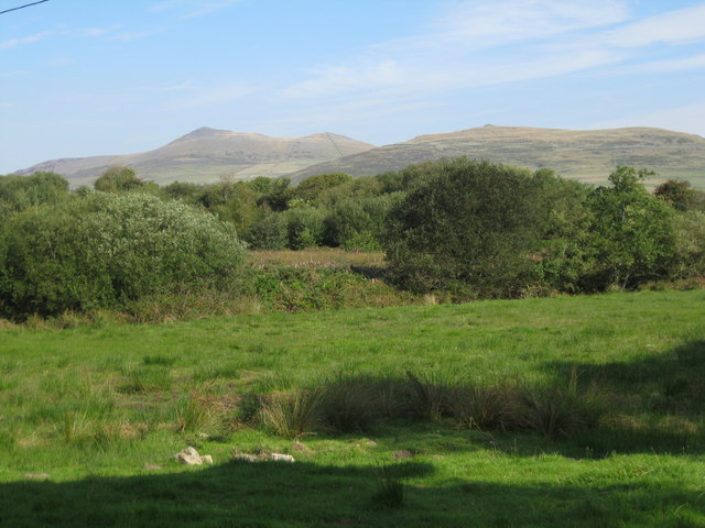
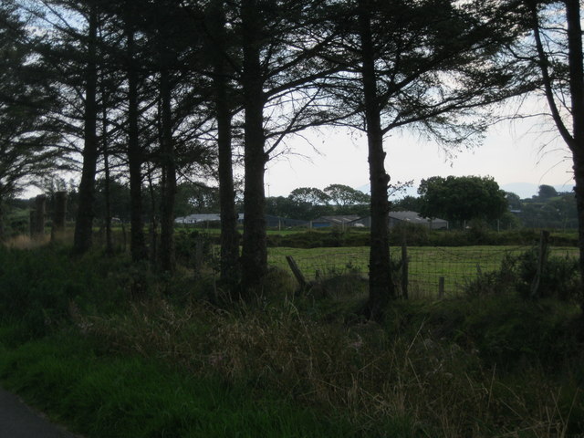
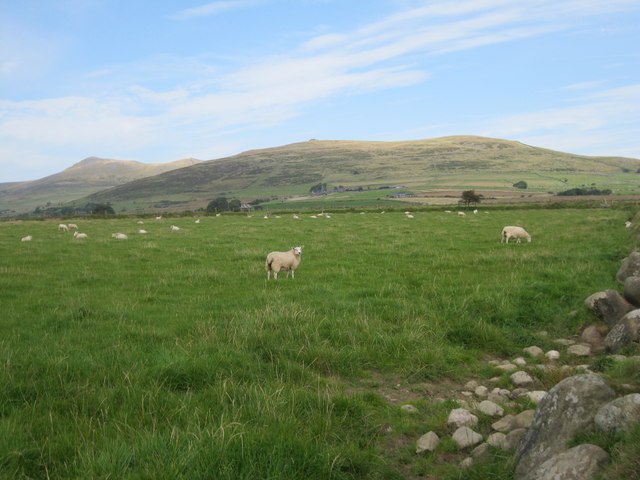
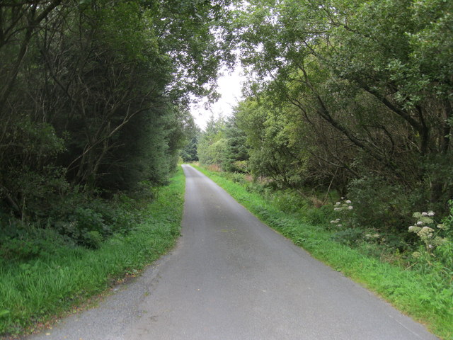
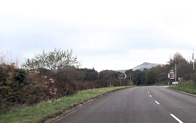
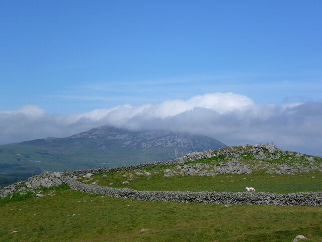
Coed Brynllyn, located in Caernarfonshire, Wales, is a serene and enchanting woodland area spanning approximately 200 acres. Nestled in the heart of Snowdonia National Park, this picturesque forest offers visitors a tranquil escape from the hustle and bustle of everyday life.
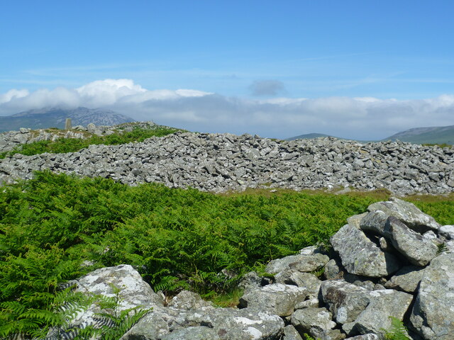
The forest is predominantly composed of native tree species, including oak, birch, and rowan, which create a rich, diverse ecosystem. The dense canopy of trees provides a cool and shaded environment, perfect for leisurely walks and exploration. As visitors wander through the forest, they are treated to the soothing sounds of birdsong and the gentle rustling of leaves, creating a truly immersive and rejuvenating experience.
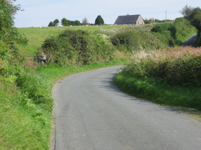
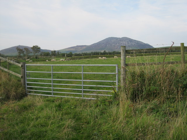
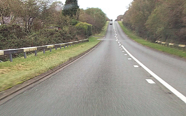
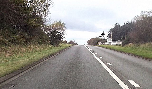
Coed Brynllyn boasts a number of well-maintained trails that wind their way through the forest, catering to all levels of fitness and ability. Whether one is seeking a leisurely stroll or a more challenging hike, there is a path to suit every adventurer. Along these trails, visitors may come across babbling brooks, small waterfalls, and even the occasional glimpse of local wildlife, such as red squirrels and various bird species.
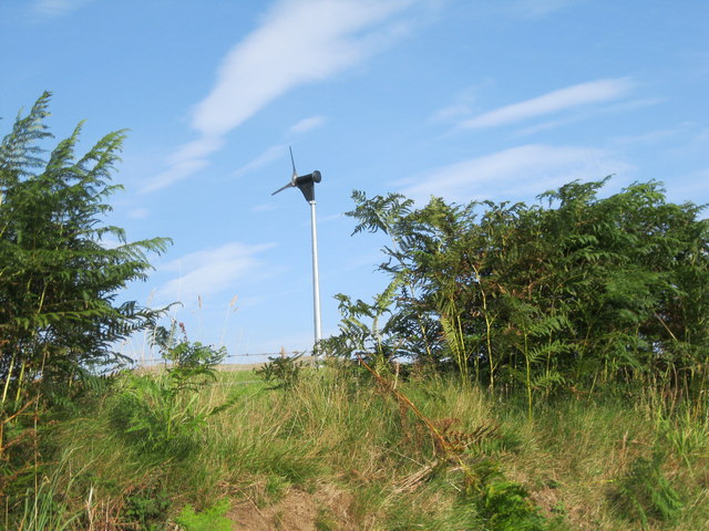
In addition to its natural beauty, Coed Brynllyn also offers a range of recreational activities. From picnicking and camping to birdwatching and photography, visitors can find a variety of ways to enjoy this woodland paradise. The forest is also a popular destination for educational field trips, providing an opportunity for students to learn about the local flora and fauna.
Coed Brynllyn is a true gem in the Caernarfonshire region, offering a peaceful retreat for nature enthusiasts and a haven of biodiversity for the surrounding ecosystem.
If you have any feedback on the listing, please let us know in the comments section below.
Coed Brynllyn Images
Images are sourced within 2km of 52.954811/-4.3738611 or Grid Reference SH4042. Thanks to Geograph Open Source API. All images are credited.

Coed Brynllyn is located at Grid Ref: SH4042 (Lat: 52.954811, Lng: -4.3738611)
Unitary Authority: Gwynedd
Police Authority: North Wales
What 3 Words
///padlock.spent.unzipped. Near Pwllheli, Gwynedd
Nearby Locations
Related Wikis

1984 Llŷn Peninsula earthquake
The 1984 Llŷn Peninsula earthquake struck the Llŷn Peninsula in Gwynedd, northwest Wales on Thursday 19 July 1984 at 06:56 UTC (07:56 BST). Measuring 5...

A499 road
The A499 road is the major road of the Llŷn peninsula in North Wales. Its northern terminus is a roundabout with the A487 trunk road between Llanwnda and...

Llangybi, Gwynedd
Llangybi (English: Cybi's Church) is a village and former civil parish in the Eifionydd area of the Welsh county of Gwynedd, near Llanarmon. The parish...
Cantref Llŷn
Llŷn was an ancient Welsh cantref in north-west Wales. It was part of the kingdom of Gwynedd for much of its history until it was included in the new county...

Llanaelhaearn
Llanaelhaearn is a village and community on the Llŷn Peninsula in the county of Gwynedd, Wales. The community includes the larger village of Trefor and...
Carnguwch
Carnguwch is a former civil parish in the Welsh county of Gwynedd. It was abolished in 1934, and incorporated into Pistyll. The parish included 1,179...

Y Ffôr
Y Ffôr is a Welsh village located on the Llŷn Peninsula in the county of Gwynedd. == History == Settlement at Y Ffôr dates back to the Stone Age, but the...

Llanarmon, Gwynedd
Llanarmon (Welsh for 'Garmon's Church') is a small village and former civil parish in the old commote of Eifionydd and Cantref Dunoding in the Welsh county...
Have you been to Coed Brynllyn?
Leave your review of Coed Brynllyn below (or comments, questions and feedback).