Allt Rhiwlug
Wood, Forest in Cardiganshire
Wales
Allt Rhiwlug
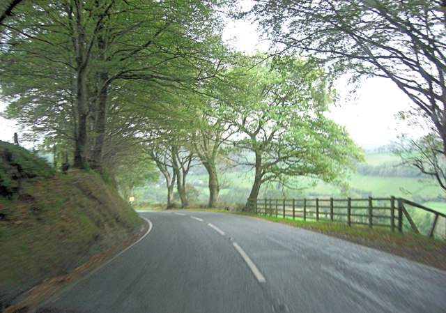
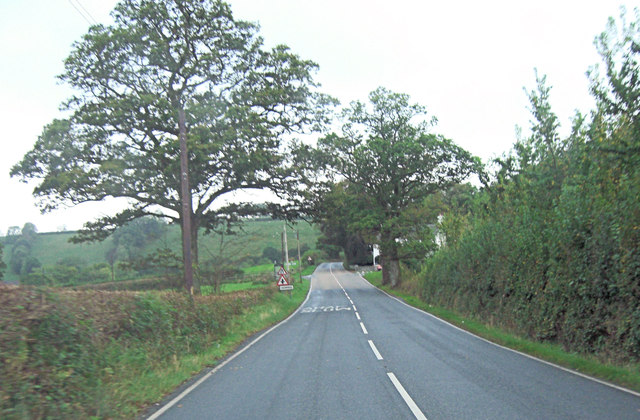
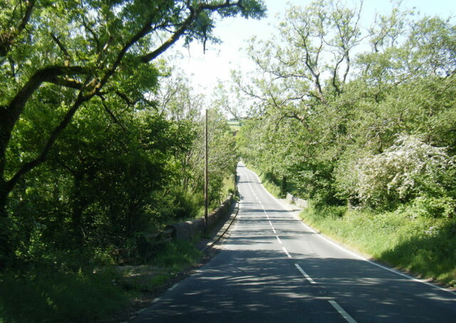
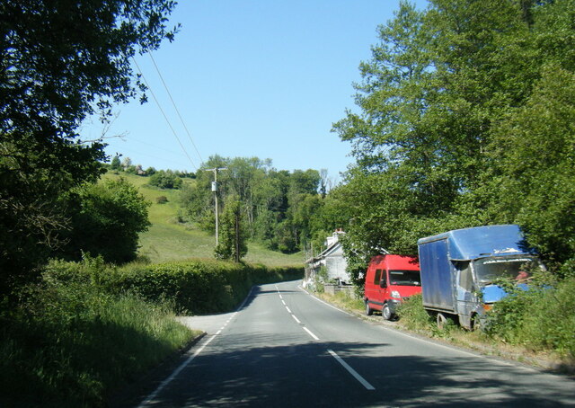
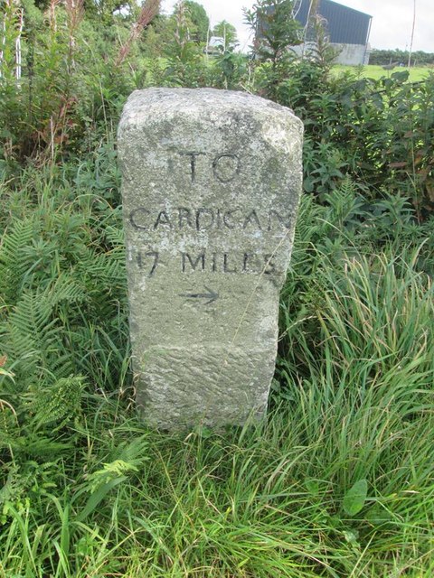
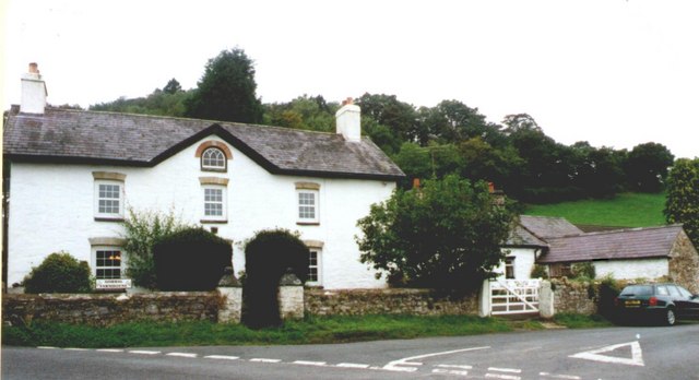
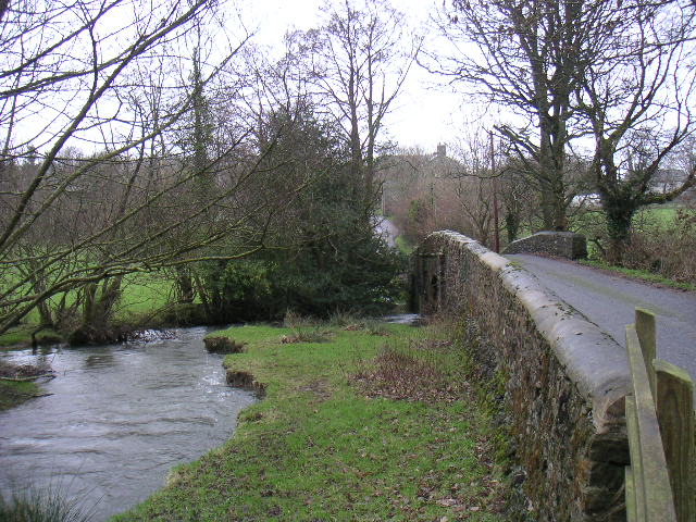
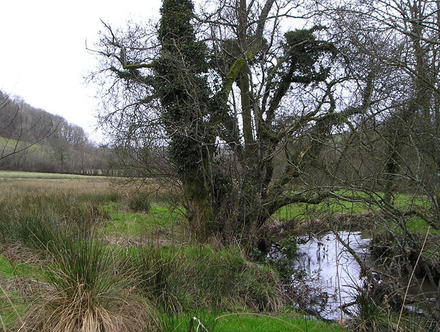
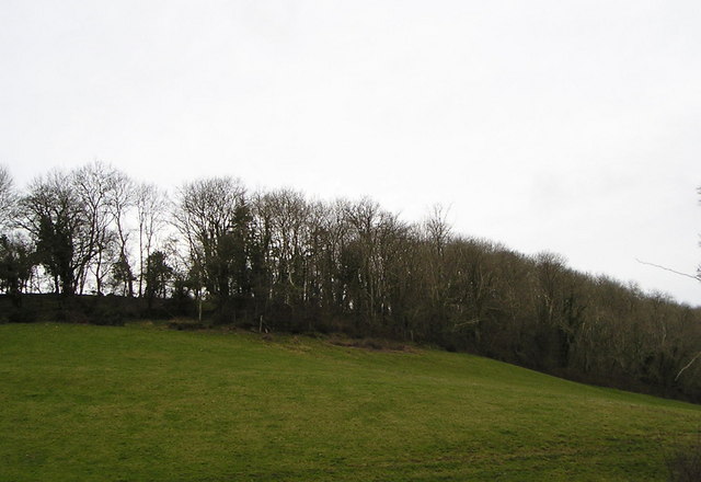
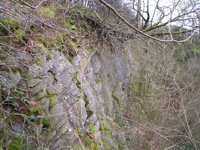
Allt Rhiwlug is a picturesque wood located in the county of Cardiganshire, Wales. It is nestled in the scenic countryside, offering visitors a tranquil and natural setting. The wood covers a vast area and is characterized by its dense forestation, making it a haven for wildlife and plant species.
The wood is primarily composed of native broadleaf trees, such as oak, beech, and ash. These towering trees create a dense canopy, providing shade and creating a cool and serene atmosphere within the wood. The forest floor is adorned with a rich carpet of mosses, ferns, and wildflowers, adding to its natural beauty.
Visitors can explore Allt Rhiwlug through a network of well-maintained trails and footpaths. These pathways meander through the wood, allowing walkers to immerse themselves in the peaceful surroundings. Along the way, they may encounter various wildlife species, including birds, squirrels, and deer.
Allt Rhiwlug is not only a haven for nature enthusiasts but also a place of historical significance. The wood has been an important part of the local community for centuries, providing timber for various purposes, such as construction and fuel. The remnants of old timber structures and charcoal pits can still be found within the wood, serving as reminders of its past.
Overall, Allt Rhiwlug is a beautiful and biodiverse wood that offers visitors a chance to connect with nature and explore its rich history. Whether it's a leisurely stroll or a more adventurous hike, this woodland destination has something to offer for everyone seeking a peaceful and natural escape.
If you have any feedback on the listing, please let us know in the comments section below.
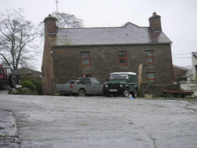
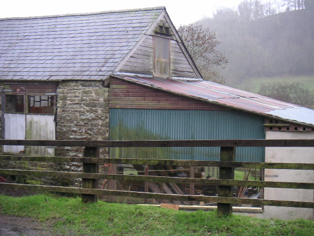
Allt Rhiwlug Images
Images are sourced within 2km of 52.074086/-4.3308072 or Grid Reference SN4044. Thanks to Geograph Open Source API. All images are credited.


Allt Rhiwlug is located at Grid Ref: SN4044 (Lat: 52.074086, Lng: -4.3308072)
Unitary Authority: Ceredigion
Police Authority: Dyfed Powys
What 3 Words
///aliens.buyers.pounce. Near Llandysul, Ceredigion
Nearby Locations
Related Wikis

Tregroes
Tregroes (Welsh: Tregroes, "Settlement of the Cross") is a hamlet in the community of Llandysul, Ceredigion, Wales, which is 64.1 miles (103.2 km) from...
Troedrhiwffenyd
Troedrhiwffenyd is a hamlet in the community of Llandysul, Ceredigion, Wales, which is 63.2 miles (101.7 km) from Cardiff and 183.2 miles (294.8 km) from...
Pentrellwyn
Pentrellwyn is a small village in the community of Llandysul, Ceredigion, Wales. Pentrellwyn is represented in the Senedd by Elin Jones (Plaid Cymru) and...
Croes-lan
Croes-lan is a small village in the community of Troedyraur, Ceredigion, Wales, which is 65.2 miles (104.9 km) from Cardiff and 185.1 miles (297.8 km...
Pren-gwyn
Pren-gwyn is a small village in the community of Llandysul, Ceredigion, Wales, which is 63.1 miles (101.6 km) from Cardiff and 182.5 miles (293.6 km)...
Coedyfoel
Coedyfoel is a small village in the community of Llandysul, Ceredigion, Wales, which is 62.8 miles (101 km) from Cardiff and 182.3 miles (293.4 km) from...
Faerdrefawr
Faerdrefawr is a small village in the community of Llandysul, Ceredigion, Wales, which is 62.2 miles (100 km) from Cardiff and 182 miles (293 km) from...

Pontsiân
Pontsiân is a village in the county of Ceredigion, Wales. It lies on the banks of the river Cletwr, a minor tributary to the Afon Teifi. Located in a rural...
Nearby Amenities
Located within 500m of 52.074086,-4.3308072Have you been to Allt Rhiwlug?
Leave your review of Allt Rhiwlug below (or comments, questions and feedback).