Allt Penrhiwgaled
Wood, Forest in Cardiganshire
Wales
Allt Penrhiwgaled
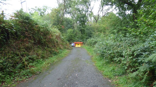
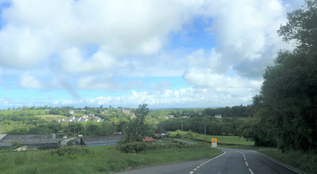
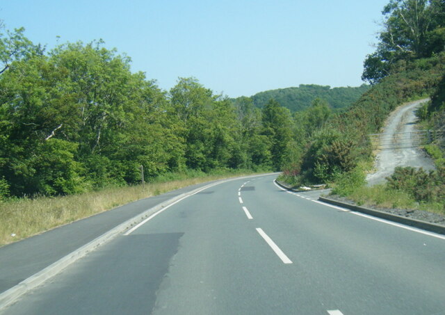
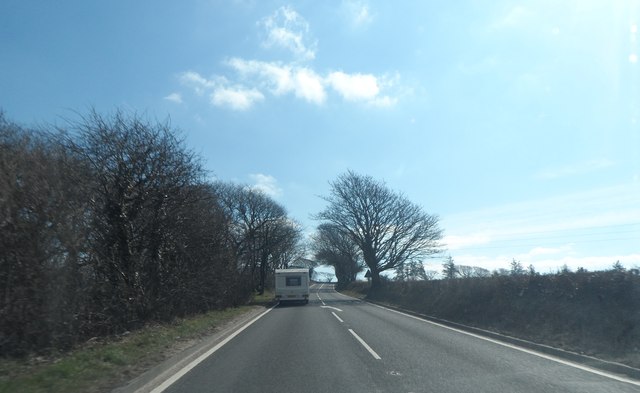
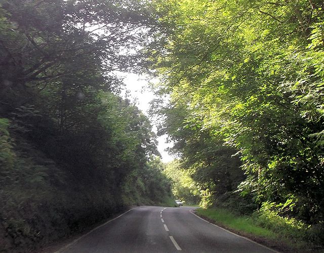
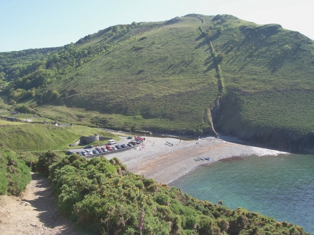
Allt Penrhiwgaled is a picturesque woodland located in Cardiganshire, Wales. Covering an area of approximately 100 acres, it is a haven for nature enthusiasts and hikers alike. The woodland is situated on the slopes of a hill, providing stunning panoramic views of the surrounding countryside.
The wood is predominantly composed of native tree species, such as oak, beech, and birch, creating a diverse and vibrant ecosystem. The lush undergrowth is home to a variety of flora, including bluebells, primroses, and wild garlic, which add bursts of color throughout the seasons. The woodland floor is also teeming with wildlife, including badgers, foxes, and a wide range of bird species.
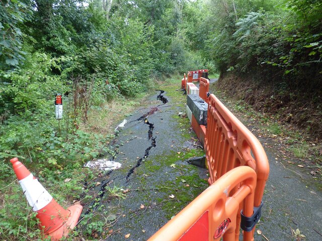
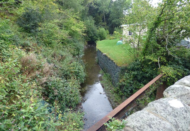
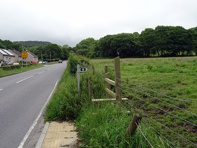
A network of well-maintained footpaths and trails crisscrosses Allt Penrhiwgaled, making it easily accessible for visitors. These paths lead to several points of interest, such as a tranquil stream that winds its way through the wood, providing a refreshing spot for picnics or quiet contemplation.
The woodland is managed by a local conservation group, ensuring the preservation of its natural beauty and biodiversity. Regular maintenance activities, such as tree planting and selective thinning, are carried out to maintain a healthy and sustainable woodland environment.
Allt Penrhiwgaled is not only a haven for nature lovers but also a valuable resource for education and research. Local schools often organize field trips to the wood to study its flora and fauna, while researchers conduct surveys and studies to further understand and protect this unique ecosystem.
Overall, Allt Penrhiwgaled is a hidden gem in Cardiganshire, offering a serene and enchanting escape into nature for all who visit.
If you have any feedback on the listing, please let us know in the comments section below.
Allt Penrhiwgaled Images
Images are sourced within 2km of 52.189308/-4.3379435 or Grid Reference SN4057. Thanks to Geograph Open Source API. All images are credited.


![OSBM Flush Bracket S7784 - Llanarth School Ordnance Survey Benchmark (OSBM) used for levelling height above Ordnance Datum (OD).
Height (1956): 123.9320m OD (Newlyn). Mark verified by the Ordnance Survey in 1975. Description: FL BR S7784 SCH SW SIDE RD N ANG NE FACE. 0.3m above ground. 1st Order BM.
The bracket was used on the Cardigan to Aberystwyth line (G082) of the Third Geodetic Levelling of England &amp; Wales in 1956. Abstract G 65: <span class="nowrap"><a title="http://discovery.nationalarchives.gov.uk/SearchUI/details?Uri=C11264473" rel="nofollow ugc noopener" href="http://discovery.nationalarchives.gov.uk/SearchUI/details?Uri=C11264473">Link</a><img style="margin-left:2px;" alt="External link" title="External link - shift click to open in new window" src="https://s1.geograph.org.uk/img/external.png" width="10" height="10"/></span> [OS 54/754]
The bracket was originally used on the Aberayron to Carmarthen secondary line of the Second Geodetic Levelling of England &amp; Wales in 1953-1954. It was levelled with a height of 406.491&#039; above OD (Newlyn). Description: On NE face of school, Llanarth. Abstract S 7: <span class="nowrap"><a title="http://discovery.nationalarchives.gov.uk/details/r/C11225155" rel="nofollow ugc noopener" href="http://discovery.nationalarchives.gov.uk/details/r/C11225155">Link</a><img style="margin-left:2px;" alt="External link" title="External link - shift click to open in new window" src="https://s1.geograph.org.uk/img/external.png" width="10" height="10"/></span> [OS 54/639]
Close-up: <a href="https://www.geograph.org.uk/photo/4747380">SN4257 : Ordnance Survey Flush Bracket S7784</a>](https://s3.geograph.org.uk/geophotos/04/89/10/4891067_e03e7e41.jpg)
Allt Penrhiwgaled is located at Grid Ref: SN4057 (Lat: 52.189308, Lng: -4.3379435)
Unitary Authority: Ceredigion
Police Authority: Dyfed Powys
What 3 Words
///appraised.knots.copper. Near Llanllwchaiarn, Ceredigion
Nearby Locations
Related Wikis

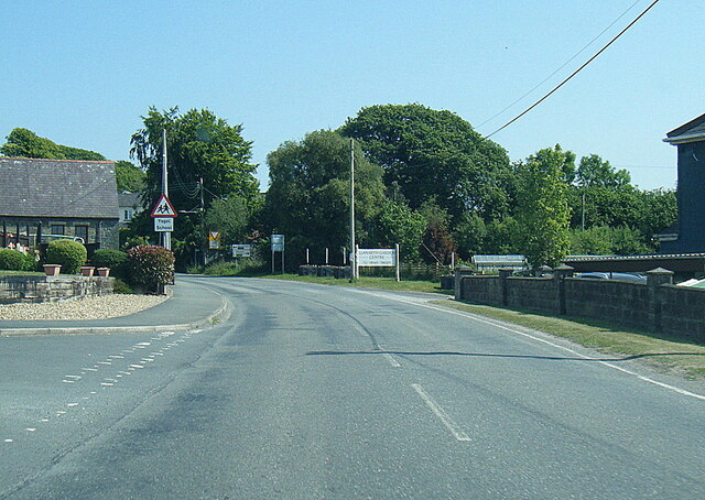
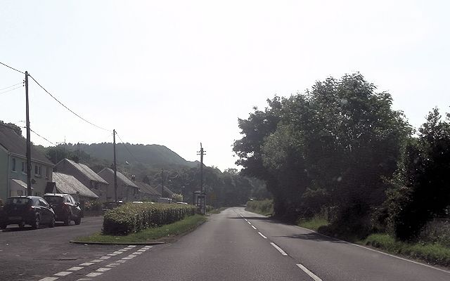
Llanllwchaiarn, Ceredigion
Llanllwchaiarn is a community in Ceredigion, Wales, surrounding New Quay and had a population of 848 at the 2011 UK census. The community council uses...
Llanwchaiarn, Ceredigion
Llanwchaiarn is a village in the community of Llanllwchaiarn, in Ceredigion, Wales, near to New Quay. There is also a Llanwchaiarn in Newtown, Powys....
Llandysiliogogo
Llandysiliogogo is a community in the county of Ceredigion, Wales, and includes the villages of Caerwedros, Plwmp, and Talgarreg, and the hamlets of Blaenbedw...
Gilfachrheda
Gilfachrheda or Gilfachreda is a village in the community of Llanarth, Ceredigion, Wales, at the confluence of two small rivers, the Afon Gido and the...
Related Videos

HAVEN HOLIDAYS Quaywest | SAVER caravan tour 2024
Join us on our latest adventure! In this video, we escaped for a short weekend getaway to Quay West in Wales. From thrilling ...

Quay West Haven New Quay Wales August 2021
Our week away at Haven Quay West in New Quay Wales.

Crogal Holidays - Holiday Accommodation New Quay - Farmhouse, Cottage, Horse Lorry
Situated between the popular fishing village of New Quay and the smuggler's cove of Cwm Tydu, you'll have the best of both ...
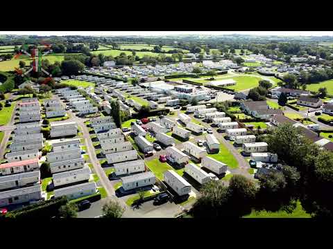
Pencnwc and views toward New Quay
Flying over Pencnwc holiday park and looking down toward New Quay beach.
Nearby Amenities
Located within 500m of 52.189308,-4.3379435Have you been to Allt Penrhiwgaled?
Leave your review of Allt Penrhiwgaled below (or comments, questions and feedback).