Allt Ddu

Wood, Forest in Cardiganshire

Wales

Allt Ddu

A475 north of Pant-gwyn
A475 north of Pant-gwyn Credit: Stuart Logan

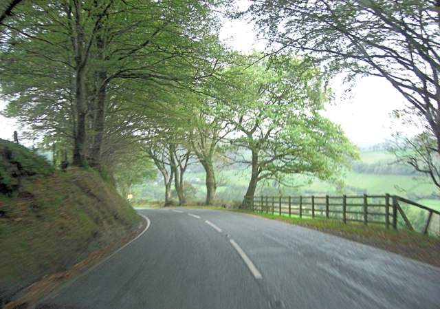
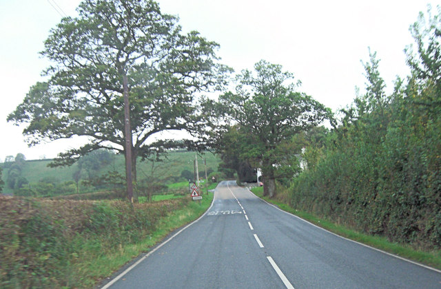
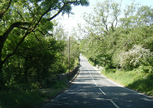
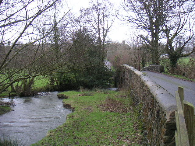
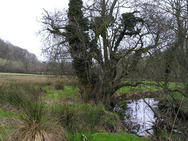
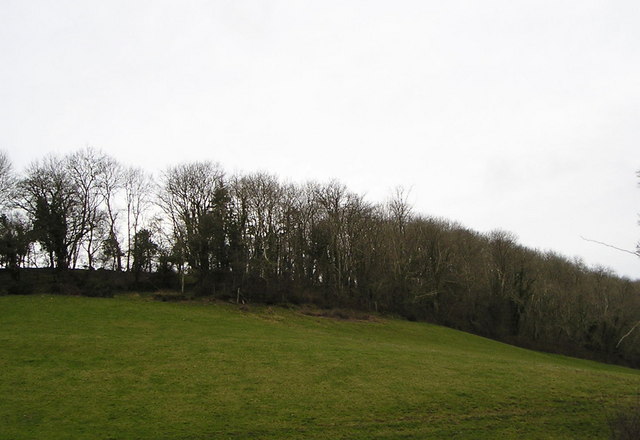
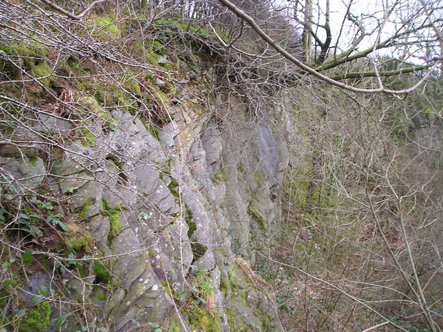
Allt Ddu is a wood located in the county of Cardiganshire, Wales. It is a beautiful forested area that covers a vast expanse of land, encompassing a variety of landscapes and habitats. The wood is known for its rich biodiversity and is home to numerous species of flora and fauna.

The wood is predominantly composed of native tree species, such as oak, beech, and ash, creating a dense and lush canopy. The forest floor is covered in a thick carpet of mosses, ferns, and wildflowers, adding to the overall charm and natural beauty of the area.

Walking through Allt Ddu, visitors can enjoy a network of well-maintained trails that lead them deep into the heart of the wood. These paths offer breathtaking views of the surrounding countryside, with glimpses of rolling hills, meandering streams, and picturesque valleys.

The wood is a haven for wildlife enthusiasts, as it provides a habitat for a wide range of animal species. Red squirrels, badgers, and foxes are a common sight, while birdwatchers can spot various species of birds, including woodpeckers, owls, and jays.

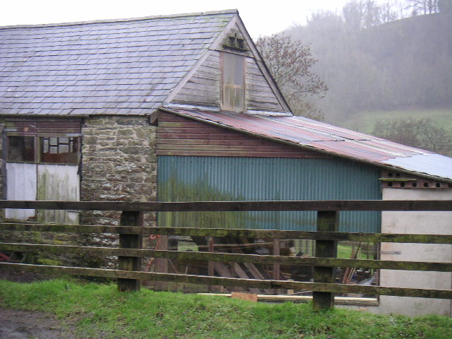
In addition to its natural beauty, Allt Ddu also has historical significance. The wood was once used for timber production, and remnants of old sawmills and charcoal pits can still be found scattered throughout the area. These historical features add a sense of intrigue and nostalgia to the woodland experience.

Allt Ddu is a place of tranquility and natural wonder, inviting visitors to immerse themselves in its peaceful surroundings and explore its diverse ecosystems. It is a true gem of Cardiganshire, offering a unique and unforgettable experience for nature lovers and adventurers alike.

If you have any feedback on the listing, please let us know in the comments section below.
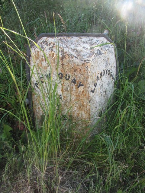
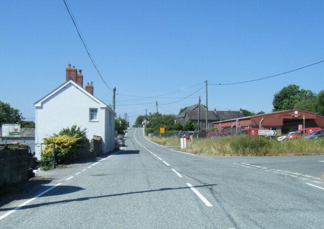
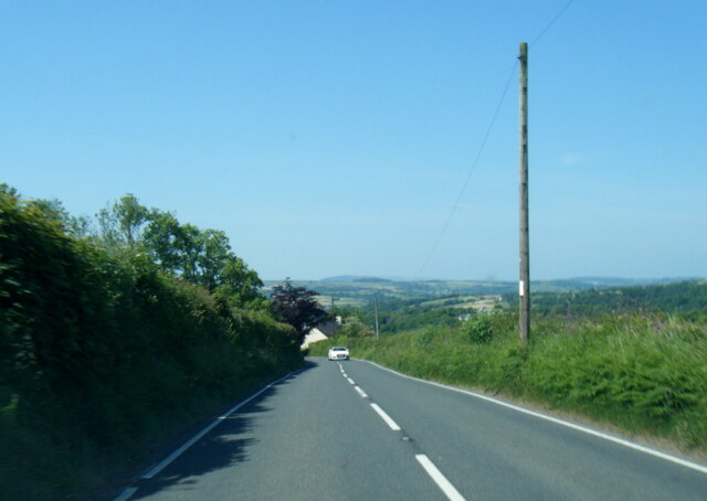
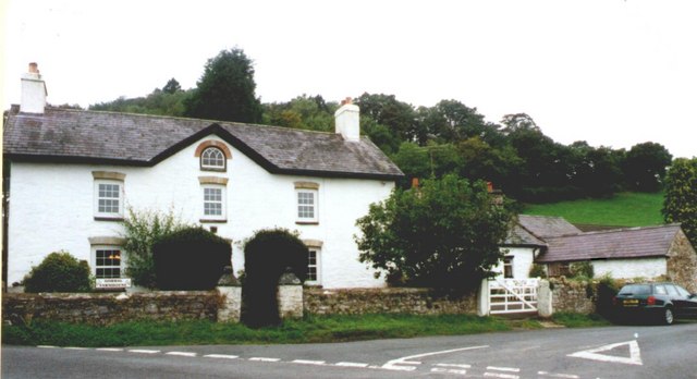
Allt Ddu Images

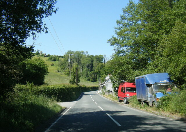
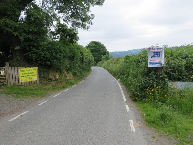
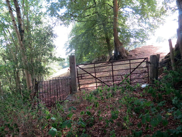
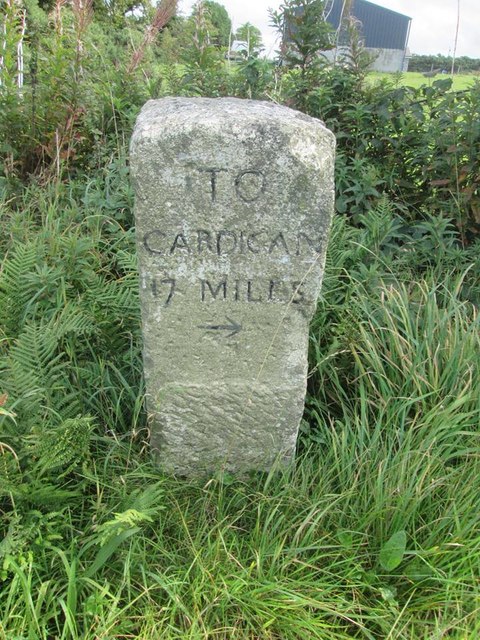
Images are sourced within 2km of 52.059648/-4.334738 or Grid Reference SN4042. Thanks to Geograph Open Source API. All images are credited.

A475 north of Pant-gwyn
A475 crossroads at Gorrig
Gwasg Gomer Welsh book publishers based at the Groesffordd Business Park, near Llandysul. Established at the turn of the 20th century, it was the foremost publisher of Welsh books. However, in 2019 they decided to stop their publishing arm and concentrate on printing. Their back catalogue of Welsh books were bought by the Lolfa and Atebol, the former taking adult books and Atebol taking children's books.
Gwasg Gomer
Welsh book publishers based at the Groesffordd Business Park, near Llandysul. Established at the turn of the 20th century, it was the foremost publisher of Welsh books. However, in 2019 they decided to stop their publishing arm and concentrate on printing. Their back catalogue of Welsh books were bought by the Lolfa and Atebol, the former taking adult books and Atebol taking children's books.
A475 at Pont y Gorrig
A475 at Sychbant
A475 at Sychbant
Road (B4476) near Faerdre-fach Looking southward.
Road (B4476) near Faerdre-fach
Looking southward.
Llwybr ger y B4624 / A path near the B4624 Llwybr newydd adael y B4624 yn mynd i gyfeiriad Llandysul.

A public footpath having just left the B4624 heading in the direction of Llandysul (trans. St Tysul's church).
Llwybr ger y B4624 / A path near the B4624
Llwybr newydd adael y B4624 yn mynd i gyfeiriad Llandysul. A public footpath having just left the B4624 heading in the direction of Llandysul (trans. St Tysul's church).
Old Milestone by the A475, Lampeter Road, Pont y Gorrig Cardigan tombstone by the A475, in parish of Llandysul (Ceredigion District), Lampeter Road, Gorrig, Pont y Gorrig.

Inscription reads:-
TO
CARDIGAN
17 MILES
{arrow}

Grade II Listed by Cadw.
Reference Number: 10603 <span class="nowrap"><a title="https://cadwpublic-api.azurewebsites.net/reports/listedbuilding/FullReport?lang=&id=10603" rel="nofollow ugc noopener" href="https://cadwpublic-api.azurewebsites.net/reports/listedbuilding/FullReport?lang=&id=10603">Link</a><img style="margin-left:2px;" alt="External link" title="External link - shift click to open in new window" src="https://s1.geograph.org.uk/img/external.png" width="10" height="10"/></span>

Surveyed

Milestone Society National ID: CRD_CALA17
Old Milestone by the A475, Lampeter Road, Pont y Gorrig
Cardigan tombstone by the A475, in parish of Llandysul (Ceredigion District), Lampeter Road, Gorrig, Pont y Gorrig. Inscription reads:- TO CARDIGAN 17 MILES {arrow} Grade II Listed by Cadw. Reference Number: 10603 LinkExternal link Surveyed Milestone Society National ID: CRD_CALA17
Old Milestone by the B4624, north of Llandysul Newquay flat top casting by the B4624, in parish of Llandysul (Ceredigion District), 600m North West of Pentrellwyn Road junction, South West side of road, Llandysul.

Inscription reads:-
: NEWQUAY / 14 / MILES : : LLANDYSSUL / 1 MILE :

Grade II listed by Cadw.
Reference Number: 10580 <span class="nowrap"><a title="https://cadwpublic-api.azurewebsites.net/reports/listedbuilding/FullReport?lang=&id=10580" rel="nofollow ugc noopener" href="https://cadwpublic-api.azurewebsites.net/reports/listedbuilding/FullReport?lang=&id=10580">Link</a><img style="margin-left:2px;" alt="External link" title="External link - shift click to open in new window" src="https://s1.geograph.org.uk/img/external.png" width="10" height="10"/></span>

Surveyed

Milestone Society National ID: CRD_NQLD14
Old Milestone by the B4624, north of Llandysul
Newquay flat top casting by the B4624, in parish of Llandysul (Ceredigion District), 600m North West of Pentrellwyn Road junction, South West side of road, Llandysul. Inscription reads:- : NEWQUAY / 14 / MILES : : LLANDYSSUL / 1 MILE : Grade II listed by Cadw. Reference Number: 10580 LinkExternal link Surveyed Milestone Society National ID: CRD_NQLD14
A475 at Horeb Royal Mail depot
A475 near Dolifor
A475 near Dolifor
Gorrig Farmhouse A Grade II listed building that was built in 1805
Gorrig Farmhouse
A Grade II listed building that was built in 1805
Bridge over the Cerdin - Tregroes
Tregroes Saw Mill Small DIY outlet but primarily a shed building site
Tregroes Saw Mill
Small DIY outlet but primarily a shed building site
Afon Cerdin
Afon Cerdin
Allt Ty-chwith A hanging wood on a steep slope.
Allt Ty-chwith
A hanging wood on a steep slope.
Disused Quarry
Disused Quarry
Llynyfran Surgery
Llynyfran Surgery
Show me another place!

Allt Ddu is located at Grid Ref: SN4042 (Lat: 52.059648, Lng: -4.334738)

Unitary Authority: Ceredigion

Police Authority: Dyfed Powys

What 3 Words

///sleepless.lion.twit. Near Llandysul, Ceredigion

Related Wikis

Troedrhiwffenyd

Troedrhiwffenyd is a hamlet in the community of Llandysul, Ceredigion, Wales, which is 63.2 miles (101.7 km) from Cardiff and 183.2 miles (294.8 km) from...

Pentrellwyn

Pentrellwyn is a small village in the community of Llandysul, Ceredigion, Wales. Pentrellwyn is represented in the Senedd by Elin Jones (Plaid Cymru) and...

Tregroes

Tregroes (Welsh: Tregroes, "Settlement of the Cross") is a hamlet in the community of Llandysul, Ceredigion, Wales, which is 64.1 miles (103.2 km) from...

Croes-lan

Croes-lan is a small village in the community of Troedyraur, Ceredigion, Wales, which is 65.2 miles (104.9 km) from Cardiff and 185.1 miles (297.8 km...

Nearby Amenities

Located within 500m of 52.059648,-4.334738
Direction: SE
Generator Method: photovoltaic
Generator Output Electricity: yes
Generator Solar Modules: 32
Generator Source: solar
Generator Type: solar_photovoltaic_panel
Location: roof
Power: generator
Lat/Long: 52.062521/-4.3323764
The data included in this document is from www.openstreetmap.org. The data is made available under ODbL.

Have you been to Allt Ddu?

Leave your review of Allt Ddu below (or comments, questions and feedback).