Trevaughan Wood

Wood, Forest in Carmarthenshire

Wales

Trevaughan Wood

Old Milestone by the B4312, Monument Hill, Carmarthen parish Stone post by the B4312, in parish of Carmarthen (Carmarthenshire District), Monument Hill, midway down Monument Hill, inset into wall, north side of road.

inscription reads:-
To
HOBB'S POINT
32
Miles

Grade II listed by Cadw.
Reference Number: 9504 <span class="nowrap"><a title="https://cadwpublic-api.azurewebsites.net/reports/listedbuilding/FullReport?lang=&id=9504" rel="nofollow ugc noopener" href="https://cadwpublic-api.azurewebsites.net/reports/listedbuilding/FullReport?lang=&id=9504">Link</a><img style="margin-left:2px;" alt="External link" title="External link - shift click to open in new window" src="https://s1.geograph.org.uk/img/external.png" width="10" height="10"/></span>

Surveyed

Milestone Society National ID: CAM_CMHP01
Old Milestone by the B4312, Monument Hill, Carmarthen parish Credit: Adrian Dust

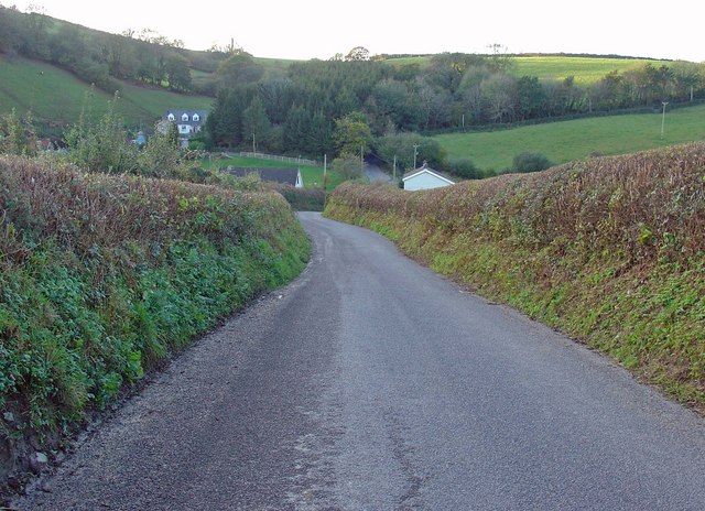
Trevaughan Wood is a beautiful forest located in Carmarthenshire, Wales. Covering an area of approximately 200 acres, it is a haven for nature lovers and outdoor enthusiasts. The wood is situated near the village of Trevaughan, providing locals and visitors with a serene escape from the bustling city life.

The forest is characterized by its diverse range of tree species, including oak, ash, beech, and birch. These trees create a lush canopy, providing shade and shelter for a variety of wildlife. Trevaughan Wood is home to numerous bird species, such as woodpeckers, tits, and finches, making it a popular destination for birdwatchers.

There are several well-maintained trails and paths that wind through the woods, allowing visitors to explore and take in the natural beauty at their own pace. The paths are suitable for both walkers and cyclists, catering to different preferences and fitness levels.

In addition to its natural beauty, Trevaughan Wood offers recreational activities for all ages. There are picnic areas and benches where visitors can relax and enjoy a meal amidst the tranquil surroundings. Families often visit the wood for a day out, as children can play in the designated play areas or go on nature scavenger hunts.

Overall, Trevaughan Wood is a stunning natural gem in Carmarthenshire, offering a peaceful retreat for those seeking solace in nature. Whether it's a leisurely walk, a birdwatching expedition, or a family outing, this wood provides an idyllic setting for a day of outdoor exploration and relaxation.

If you have any feedback on the listing, please let us know in the comments section below.

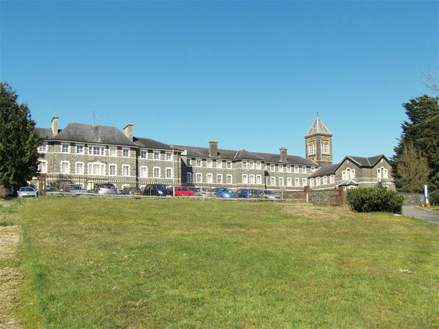
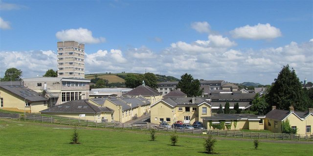
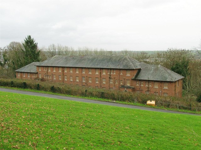
Trevaughan Wood Images

Images are sourced within 2km of 51.867795/-4.3254822 or Grid Reference SN3921. Thanks to Geograph Open Source API. All images are credited.

Old Milestone by the B4312, Monument Hill, Carmarthen parish Stone post by the B4312, in parish of Carmarthen (Carmarthenshire District), Monument Hill, midway down Monument Hill, inset into wall, north side of road.

inscription reads:-
To
HOBB'S POINT
32
Miles

Grade II listed by Cadw.
Reference Number: 9504 <span class="nowrap"><a title="https://cadwpublic-api.azurewebsites.net/reports/listedbuilding/FullReport?lang=&id=9504" rel="nofollow ugc noopener" href="https://cadwpublic-api.azurewebsites.net/reports/listedbuilding/FullReport?lang=&id=9504">Link</a><img style="margin-left:2px;" alt="External link" title="External link - shift click to open in new window" src="https://s1.geograph.org.uk/img/external.png" width="10" height="10"/></span>

Surveyed

Milestone Society National ID: CAM_CMHP01
Old Milestone by the B4312, Monument Hill, Carmarthen parish
Stone post by the B4312, in parish of Carmarthen (Carmarthenshire District), Monument Hill, midway down Monument Hill, inset into wall, north side of road. inscription reads:- To HOBB'S POINT 32 Miles Grade II listed by Cadw. Reference Number: 9504 LinkExternal link Surveyed Milestone Society National ID: CAM_CMHP01
Plough and Harrow Inn Alternative view from <a href="https://www.geograph.org.uk/photo/738441">SN3822 : Plough and Harrows Inn</a>
Plough and Harrow Inn
Alternative view from SN3822 : Plough and Harrows Inn
Main Building, Former Saint David's Mental Hospital Now offices for the County Council & NHS and an outpost of Swansea University's medical faculties.
Main Building, Former Saint David's Mental Hospital
Now offices for the County Council & NHS and an outpost of Swansea University's medical faculties.
West side of Trinity St. Davids College, Carmarthen
Disused staff accommodation at former Saint David's Mental Hospital The "Nurses' Home" is a 3-storey building down on the south edge of the former hospital. Whilst most of the other old wards and buildings have been repurposed as office space, the 70 or 80 dormitories in this block have remained empty for decades. The boarded-up building only ever sees occasional use as a training location for police dogs.
Disused staff accommodation at former Saint David's Mental Hospital
The "Nurses' Home" is a 3-storey building down on the south edge of the former hospital. Whilst most of the other old wards and buildings have been repurposed as office space, the 70 or 80 dormitories in this block have remained empty for decades. The boarded-up building only ever sees occasional use as a training location for police dogs.
Ger Pistyllgwion / Near Pistyllgwion Cerddwyr ar heol fach ger Ffarm Pistyllgwion.

Walkers on a minor road near Pistyllgwion Farm (trans. Gwion's spring).
Ger Pistyllgwion / Near Pistyllgwion
Cerddwyr ar heol fach ger Ffarm Pistyllgwion. Walkers on a minor road near Pistyllgwion Farm (trans. Gwion's spring).
Church within the former Saint David's Mental Hospital The secure unit has moved to the edge of the facility and the old buildings, like this church, are largely disused.
Church within the former Saint David's Mental Hospital
The secure unit has moved to the edge of the facility and the old buildings, like this church, are largely disused.
Interior of church at former St David's Mental Hospital The church and its interior are listed. The upper walls of the church have an unusual brickwork mosaic.
Interior of church at former St David's Mental Hospital
The church and its interior are listed. The upper walls of the church have an unusual brickwork mosaic.
Plough and Harrows Inn Country public house with old ploughs.
Plough and Harrows Inn
Country public house with old ploughs.
Upper Trevaughan This village extends for about a kilometre down this road almost to the outskirts of Carmarthen. The estate on the left contains the only side-street. This is the northern point on the bus route: the bus turned around and went back down to Carmarthen.
Upper Trevaughan
This village extends for about a kilometre down this road almost to the outskirts of Carmarthen. The estate on the left contains the only side-street. This is the northern point on the bus route: the bus turned around and went back down to Carmarthen.
Valley with cows The building is the unnamed farm in the NE corner of the square
Valley with cows
The building is the unnamed farm in the NE corner of the square
Looking down the hill to Cwm-castell
Tawelan, Carmarthen
Tawelan, Carmarthen
Lane near Pentre'r-hydd, Carmarthen
Jobswell House Mansion that gives its name to the adjoining Jobswell Road. Now used by the West Wales Substance Misuse Service and the local NHS Trust Family Support Team. The once fine gardens below the house are now given over to brambles.
Jobswell House
Mansion that gives its name to the adjoining Jobswell Road. Now used by the West Wales Substance Misuse Service and the local NHS Trust Family Support Team. The once fine gardens below the house are now given over to brambles.
St David's Hospital These are the wards at this hospital, part of the Mental Health Unit of the Hywel Dda NHS Trust. The older buildings on the site are either used administratively or are no longer in use.
St David's Hospital
These are the wards at this hospital, part of the Mental Health Unit of the Hywel Dda NHS Trust. The older buildings on the site are either used administratively or are no longer in use.
Trinity College Part of the University of Wales. This photograph shows part of the chapel on the left, some of the original college buildings in the centre and a newer block on the right.
Trinity College
Part of the University of Wales. This photograph shows part of the chapel on the left, some of the original college buildings in the centre and a newer block on the right.
Halliwell Centre Conference and banqueting centre on the campus of Trinity College. It includes a theatre, restaurant and choice of suites available for meetings and events.
Halliwell Centre
Conference and banqueting centre on the campus of Trinity College. It includes a theatre, restaurant and choice of suites available for meetings and events.
Show me another place!

Trevaughan Wood is located at Grid Ref: SN3921 (Lat: 51.867795, Lng: -4.3254822)

Unitary Authority: Carmarthenshire

Police Authority: Dyfed Powys

What 3 Words

///keys.holds.edits. Near Carmarthen, Carmarthenshire

Related Wikis

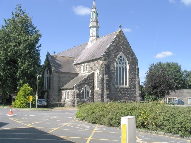
Elim Independent Chapel, Carmarthen

Elim Independent Chapel is an independent chapel in the town of Carmarthen, Carmarthenshire, Wales. The building dates from 1849 and is located about one...

Carmarthen Cemetery Chapel

Carmarthen Cemetery Chapel is a cemetery chapel in the town of Carmarthen, Carmarthenshire, Wales. The building dates from 1855 and is located at 6, Russell...

Trinity University College

Trinity University College (Welsh: Coleg Prifysgol y Drindod) was a Church University College in Carmarthen, Wales. The institution was founded in 1848...

Carmarthen transmitting station

The Carmarthen transmitting station (Welsh: Gorsaf drosglwyddo Caerfyrddin) was originally built by the BBC in 1964/65 as a relay for VHF radio and television...

Nearby Amenities

Located within 500m of 51.867795,-4.3254822
Post Box
Lat/Long: 51.8668561/-4.3240639
Bus Stop
Naptan AtcoCode: 5220AWK65954
Naptan NaptanCode: crmpdpa
Lat/Long: 51.8666706/-4.3238654
Tre-Vaughan Hill
Natural: peak
Lat/Long: 51.8687344/-4.3286268
Barrier: kissing_gate
Foot: yes
Lat/Long: 51.8666609/-4.3276178
Bench
Backrest: yes
Lat/Long: 51.8654689/-4.3195474
Bench
Backrest: yes
Lat/Long: 51.8654494/-4.3203105
Bench
Backrest: yes
Lat/Long: 51.8654192/-4.3206176
Barrier: kissing_gate
Lat/Long: 51.8695051/-4.3224831
Barrier: kissing_gate
Lat/Long: 51.8688054/-4.3234422
Barrier: kissing_gate
Lat/Long: 51.8645229/-4.3236009
Barrier: kissing_gate
Lat/Long: 51.8696136/-4.3221478
Direction: 190
Generator Method: photovoltaic
Generator Output Electricity: yes
Generator Solar Modules: 14
Generator Source: solar
Generator Type: solar_photovoltaic_panel
Location: roof
Power: generator
Lat/Long: 51.8719023/-4.3258077
Direction: WSW
Generator Method: photovoltaic
Generator Output Electricity: yes
Generator Solar Modules: 18
Generator Source: solar
Generator Type: solar_photovoltaic_panel
Location: roof
Power: generator
Lat/Long: 51.8698512/-4.3215383
The data included in this document is from www.openstreetmap.org. The data is made available under ODbL.

Have you been to Trevaughan Wood?

Leave your review of Trevaughan Wood below (or comments, questions and feedback).