Allt Gorrig

Wood, Forest in Cardiganshire

Wales

Allt Gorrig

The Gwarcefel Arms Five roads meet beside this pub: A475, B4476 and two un-named local lanes. Should be good for the passing trade!
The Gwarcefel Arms Credit: Stuart Logan

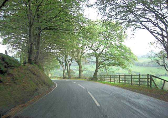
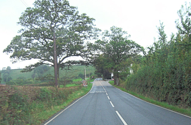
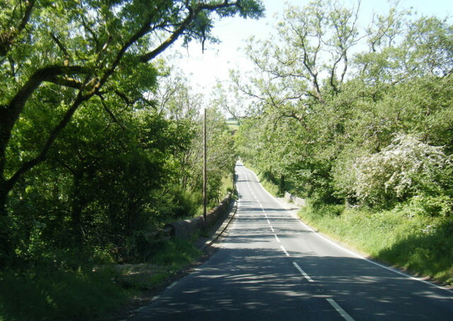
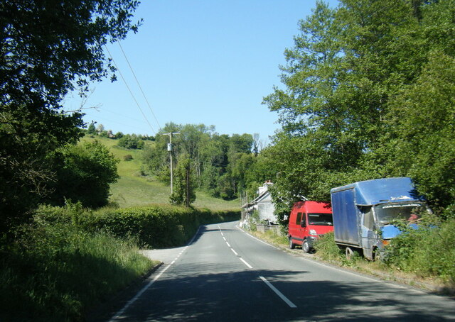
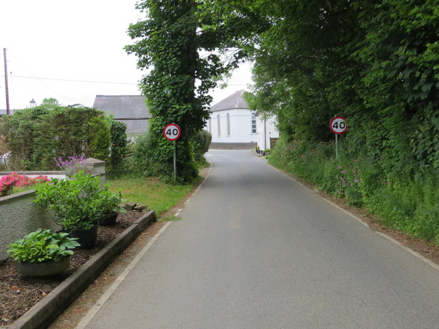
Allt Gorrig is a picturesque wood located in the county of Cardiganshire, Wales. Situated in the western part of the country, it covers an area of approximately 100 acres. The wood is nestled within the rolling hills and lush countryside of the region, providing a tranquil and idyllic setting for visitors.

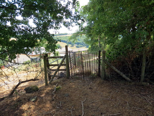
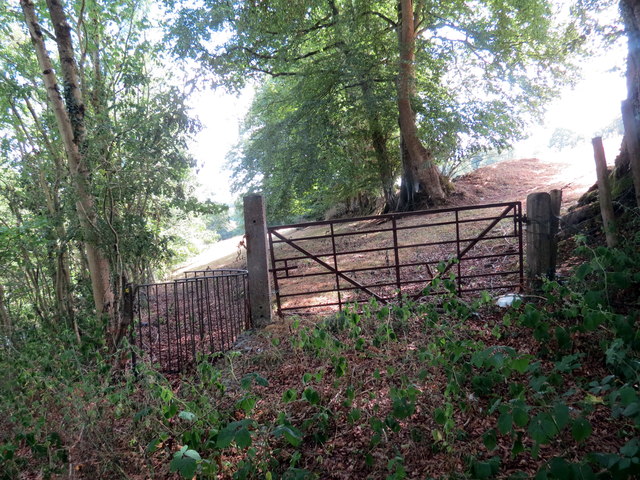
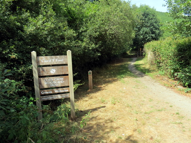
The landscape of Allt Gorrig is predominantly made up of ancient oak and beech trees, which form a dense canopy overhead. These majestic trees create a cool and shaded environment, perfect for leisurely walks and exploration. Throughout the wood, there are well-maintained footpaths that wind their way through the trees, allowing visitors to immerse themselves in the natural beauty of the surroundings.

The wood is also home to a diverse range of flora and fauna, with an abundance of wildflowers, ferns, and mosses carpeting the forest floor. This rich biodiversity attracts a variety of wildlife, including birds, squirrels, and deer, making it a popular destination for nature enthusiasts and birdwatchers.

In addition to its natural beauty, Allt Gorrig offers a range of recreational activities for visitors. There are designated picnic areas scattered throughout the wood, providing the perfect spot for a leisurely lunch or a family gathering. The wood is also a popular destination for nature trails and orienteering, allowing visitors to engage with the environment and learn about the local ecosystem.

Overall, Allt Gorrig is a stunning woodland retreat that offers a peaceful escape from the hustle and bustle of everyday life. With its ancient trees, abundant wildlife, and recreational opportunities, it is a haven for nature lovers and a must-visit destination for anyone seeking solace in the beauty of the Welsh countryside.

If you have any feedback on the listing, please let us know in the comments section below.

Allt Gorrig Images

Images are sourced within 2km of 52.061938/-4.3221212 or Grid Reference SN4042. Thanks to Geograph Open Source API. All images are credited.
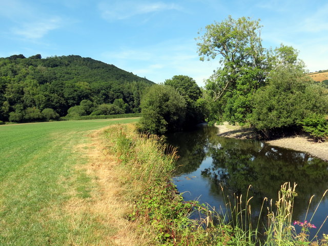
The Gwarcefel Arms Five roads meet beside this pub: A475, B4476 and two un-named local lanes. Should be good for the passing trade!
The Gwarcefel Arms
Five roads meet beside this pub: A475, B4476 and two un-named local lanes. Should be good for the passing trade!
A475 north of Pant-gwyn
A475 crossroads at Gorrig
Gwasg Gomer Welsh book publishers based at the Groesffordd Business Park, near Llandysul. Established at the turn of the 20th century, it was the foremost publisher of Welsh books. However, in 2019 they decided to stop their publishing arm and concentrate on printing. Their back catalogue of Welsh books were bought by the Lolfa and Atebol, the former taking adult books and Atebol taking children's books.
Gwasg Gomer
Welsh book publishers based at the Groesffordd Business Park, near Llandysul. Established at the turn of the 20th century, it was the foremost publisher of Welsh books. However, in 2019 they decided to stop their publishing arm and concentrate on printing. Their back catalogue of Welsh books were bought by the Lolfa and Atebol, the former taking adult books and Atebol taking children's books.
A475 at Pont y Gorrig
A475 at Sychbant
A475 at Sychbant
Old Milestone by the A475, Pren-gwyn, Llandysul Parish Cardigan tombstone by the A475, in parish of Llandysul (Ceredigion District), Pren-gwyn, West of crossroads against fence.

Inscription reads:-
TO
CARDIGAN
18 MILES 

Grade II listed by Cadw. Reference Number: 10627
<span class="nowrap"><a title="https://cadwpublic-api.azurewebsites.net/reports/listedbuilding/FullReport?lang=&id=10627" rel="nofollow ugc noopener" href="https://cadwpublic-api.azurewebsites.net/reports/listedbuilding/FullReport?lang=&id=10627">Link</a><img style="margin-left:2px;" alt="External link" title="External link - shift click to open in new window" src="https://s1.geograph.org.uk/img/external.png" width="10" height="10"/></span>

Surveyed

Milestone Society National ID: CRD_CALA18
Old Milestone by the A475, Pren-gwyn, Llandysul Parish
Cardigan tombstone by the A475, in parish of Llandysul (Ceredigion District), Pren-gwyn, West of crossroads against fence. Inscription reads:- TO CARDIGAN 18 MILES Grade II listed by Cadw. Reference Number: 10627 LinkExternal link Surveyed Milestone Society National ID: CRD_CALA18
Ordnance Survey Cut Mark This OS cut mark can be found on the corner of the Gwarcefel Arms, Pren-Gwyn.
Ordnance Survey Cut Mark
This OS cut mark can be found on the corner of the Gwarcefel Arms, Pren-Gwyn.
Milestone - Cardigan 18
Road (B4476) near Faerdre-fach Looking southward.
Road (B4476) near Faerdre-fach
Looking southward.
Road (B4476) near Faerdre-fach Looking north-eastward.
Road (B4476) near Faerdre-fach
Looking north-eastward.
Track leading to Gellifaharen Looking westward.
Track leading to Gellifaharen
Looking westward.
Road (B4476) approaching the A475 in Pren-gwyn Looking north-eastward.
Road (B4476) approaching the A475 in Pren-gwyn
Looking north-eastward.
Llwybr i Landysul / A path to Llandysul Llwybr cyhoeddus yn mynd i gyfeiriad Llandysul.

A public footpath heading in the direction of Llandysul (trans. St Tysul's church).
Llwybr i Landysul / A path to Llandysul
Llwybr cyhoeddus yn mynd i gyfeiriad Llandysul. A public footpath heading in the direction of Llandysul (trans. St Tysul's church).
Llwybr ger y B4624 / A path near the B4624 Llwybr newydd adael y B4624 yn mynd i gyfeiriad Llandysul.

A public footpath having just left the B4624 heading in the direction of Llandysul (trans. St Tysul's church).
Llwybr ger y B4624 / A path near the B4624
Llwybr newydd adael y B4624 yn mynd i gyfeiriad Llandysul. A public footpath having just left the B4624 heading in the direction of Llandysul (trans. St Tysul's church).
Llwybr ger Abercerdin / Footpath near Abercerdin Llwybr cyhoeddus ar lan Afon Teifi yn mynd i gyfeiriad Abercerdin.

A public footpath on the banks of the Teifi River heading in the direction of Abercerdin (Trans. confluence of mountain ash trees [river]).
Llwybr ger Abercerdin / Footpath near Abercerdin
Llwybr cyhoeddus ar lan Afon Teifi yn mynd i gyfeiriad Abercerdin. A public footpath on the banks of the Teifi River heading in the direction of Abercerdin (Trans. confluence of mountain ash trees [river]).
Ar lan Afon Teifi / On the banks of the Teifi River Llwybr cyhoeddus ar lan Afon Teifi.

A public footpath on the banks of the Teifi River.
Ar lan Afon Teifi / On the banks of the Teifi River
Llwybr cyhoeddus ar lan Afon Teifi. A public footpath on the banks of the Teifi River.
Coed y Foel Llwybr caniataol yn rhoi mynediad i Goed y Foel, coedwig sydd o dan gofal Ymddiriedolaeth Coed Cadw.

A permissive path heading towards Coed y Foed (trans. wood of the bare hilltop). The woodland is owned by the Coed Cadw Trust.
Coed y Foel
Llwybr caniataol yn rhoi mynediad i Goed y Foel, coedwig sydd o dan gofal Ymddiriedolaeth Coed Cadw. A permissive path heading towards Coed y Foed (trans. wood of the bare hilltop). The woodland is owned by the Coed Cadw Trust.
Show me another place!

Allt Gorrig is located at Grid Ref: SN4042 (Lat: 52.061938, Lng: -4.3221212)

Unitary Authority: Ceredigion

Police Authority: Dyfed Powys

What 3 Words

///remotes.elated.inflamed. Near Llandysul, Ceredigion

Related Wikis

Troedrhiwffenyd

Troedrhiwffenyd is a hamlet in the community of Llandysul, Ceredigion, Wales, which is 63.2 miles (101.7 km) from Cardiff and 183.2 miles (294.8 km) from...

Pentrellwyn

Pentrellwyn is a small village in the community of Llandysul, Ceredigion, Wales. Pentrellwyn is represented in the Senedd by Elin Jones (Plaid Cymru) and...

Coedyfoel

Coedyfoel is a small village in the community of Llandysul, Ceredigion, Wales, which is 62.8 miles (101 km) from Cardiff and 182.3 miles (293.4 km) from...

Tregroes

Tregroes (Welsh: Tregroes, "Settlement of the Cross") is a hamlet in the community of Llandysul, Ceredigion, Wales, which is 64.1 miles (103.2 km) from...

Faerdrefawr

Faerdrefawr is a small village in the community of Llandysul, Ceredigion, Wales, which is 62.2 miles (100 km) from Cardiff and 182 miles (293 km) from...

Pren-gwyn

Pren-gwyn is a small village in the community of Llandysul, Ceredigion, Wales, which is 63.1 miles (101.6 km) from Cardiff and 182.5 miles (293.6 km)...

Ysgol Dyffryn Teifi

Ysgol Dyffryn Teifi was a bilingual (Welsh and English) comprehensive school in Llandysul, Ceredigion. It stood on the site of the previous Llandysul Grammar...
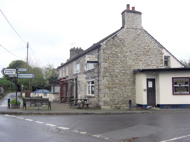
Llandysul

Llandysul, also spelt Llandyssul, is a small town and community in the county of Ceredigion, Wales. As a community it consists of the townships of Capel...

Nearby Amenities

Located within 500m of 52.061938,-4.3221212
Fixme: Is this really a peak? It's not identified as such on OS 1:25k historic.
Natural: peak
Lat/Long: 52.0624752/-4.3220749
Direction: 170
Generator Method: photovoltaic
Generator Output Electricity: yes
Generator Solar Modules: 12
Generator Source: solar
Generator Type: solar_photovoltaic_panel
Location: roof
Power: generator
Lat/Long: 52.0584197/-4.3185335
Direction: 170
Generator Method: photovoltaic
Generator Output Electricity: yes
Generator Solar Modules: 15
Generator Source: solar
Generator Type: solar_photovoltaic_panel
Location: roof
Power: generator
Lat/Long: 52.0590247/-4.3176883
Direction: 170
Generator Method: photovoltaic
Generator Output Electricity: yes
Generator Solar Modules: 10
Generator Source: solar
Generator Type: solar_photovoltaic_panel
Location: roof
Power: generator
Lat/Long: 52.0587627/-4.3180159
The data included in this document is from www.openstreetmap.org. The data is made available under ODbL.

Have you been to Allt Gorrig?

Leave your review of Allt Gorrig below (or comments, questions and feedback).