Allt y Ci
Wood, Forest in Carmarthenshire
Wales
Allt y Ci
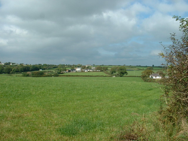
Allt y Ci is a picturesque wood located in Carmarthenshire, Wales. Situated within the Brechfa Forest, it covers an area of approximately 150 hectares. The wood is predominantly made up of native broadleaf trees, such as oak, beech, and ash, creating a diverse and vibrant ecosystem.
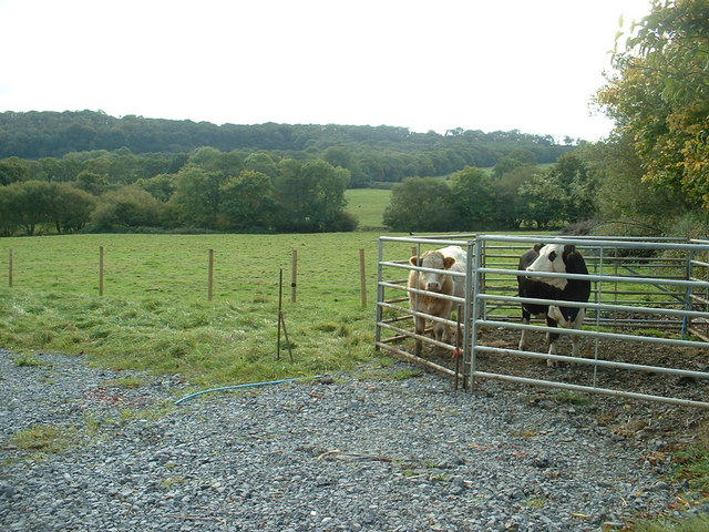
The wood is known for its rich biodiversity and provides a habitat for a variety of wildlife. It is home to numerous bird species, including buzzards, owls, and woodpeckers, making it a popular spot for birdwatchers. Additionally, small mammals like badgers, foxes, and squirrels can be found roaming the woodland.
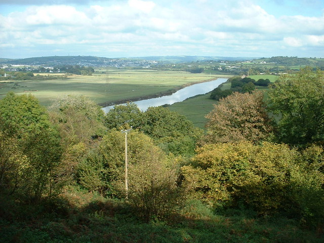
Allt y Ci offers a range of recreational activities for visitors to enjoy. There are several well-marked walking trails throughout the wood, providing opportunities for leisurely strolls and more challenging hikes. The trails offer breathtaking views of the surrounding countryside, with glimpses of rivers and rolling hills.
The wood is also a haven for nature enthusiasts and photographers, with its enchanting scenery and vibrant flora and fauna. During springtime, the forest floor is adorned with a carpet of bluebells, creating a mesmerizing sight.
Managed by the Forestry Commission, Allt y Ci provides a sustainable source of timber production while preserving the natural beauty and ecological balance of the area. The wood is open to the public year-round, with designated picnic areas and parking facilities available for visitors.
Overall, Allt y Ci is a tranquil and captivating woodland, offering a perfect escape for nature lovers, hikers, and those seeking solace in the beauty of Wales' natural landscapes.
If you have any feedback on the listing, please let us know in the comments section below.
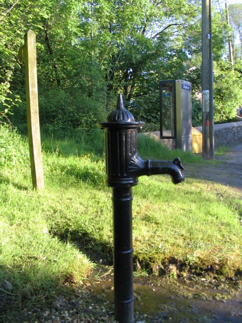
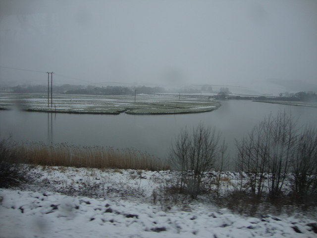
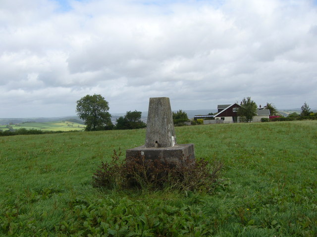
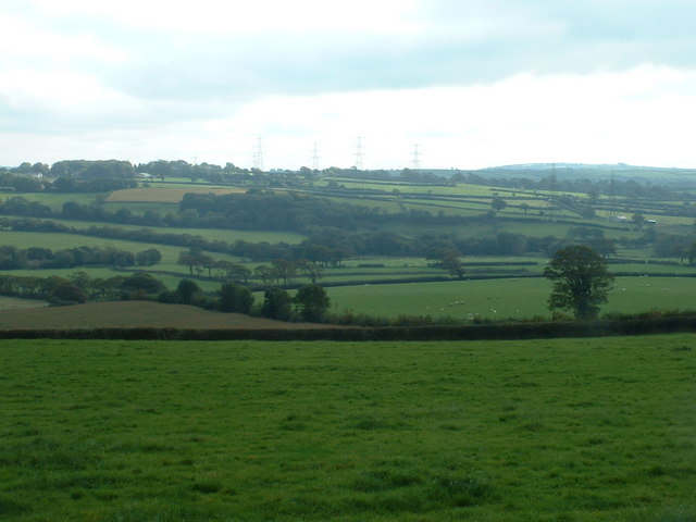
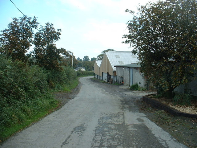
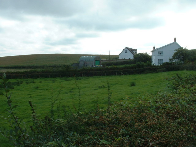
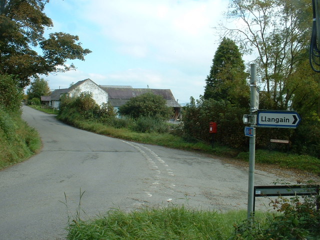
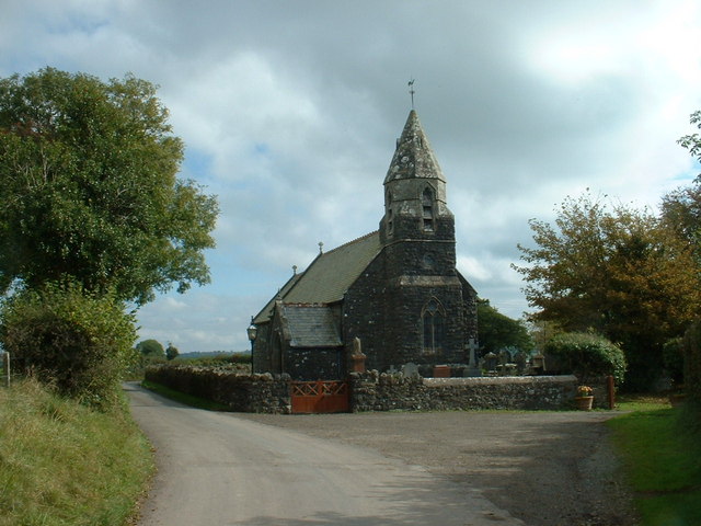
Allt y Ci Images
Images are sourced within 2km of 51.826869/-4.3372907 or Grid Reference SN3916. Thanks to Geograph Open Source API. All images are credited.


Allt y Ci is located at Grid Ref: SN3916 (Lat: 51.826869, Lng: -4.3372907)
Unitary Authority: Carmarthenshire
Police Authority: Dyfed Powys
What 3 Words
///modem.awesome.attaching. Near Llangain, Carmarthenshire
Nearby Locations
Related Wikis
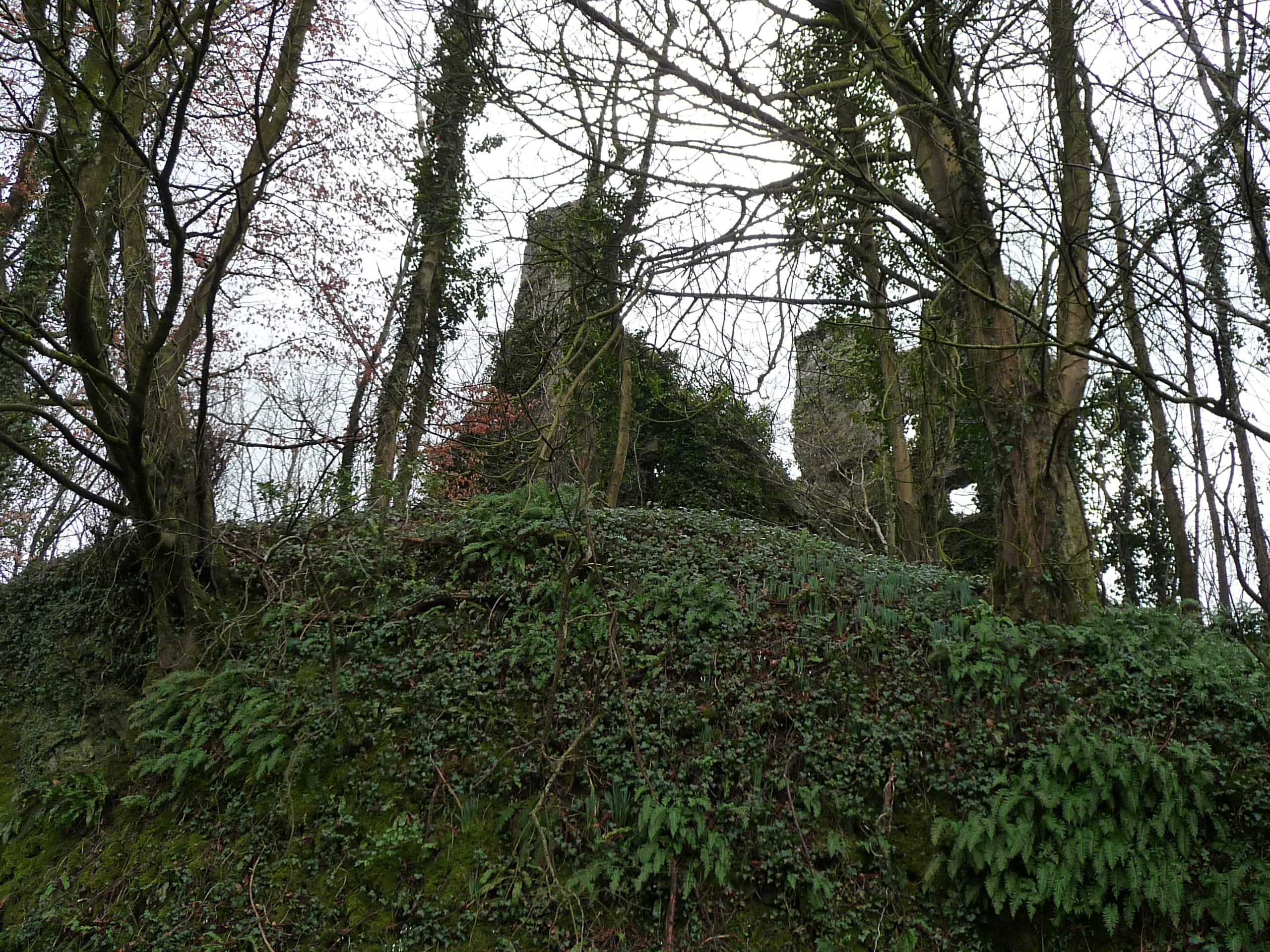
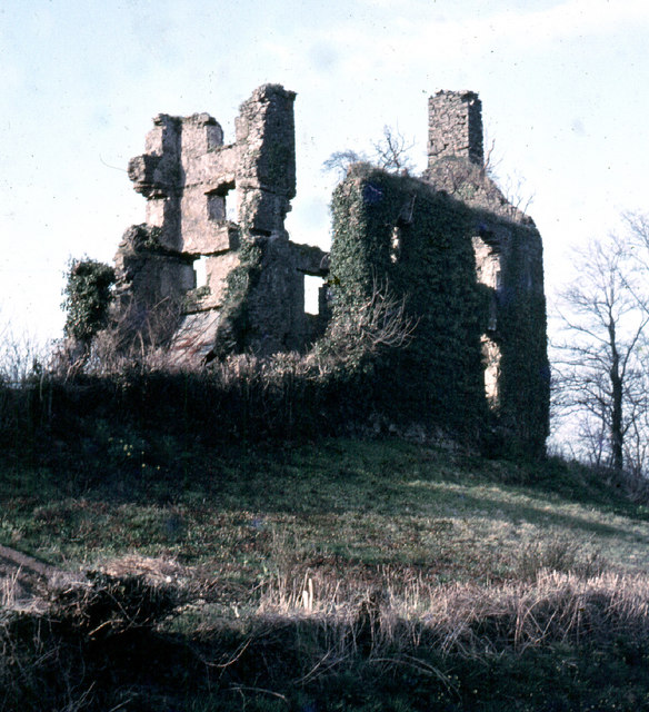
Castell Moel
Castell Moel (also known as Greencastle, Green Castle, Humphreys Castle, or Castle Mole) is the remains of a 16th-century fortified manor house in the...
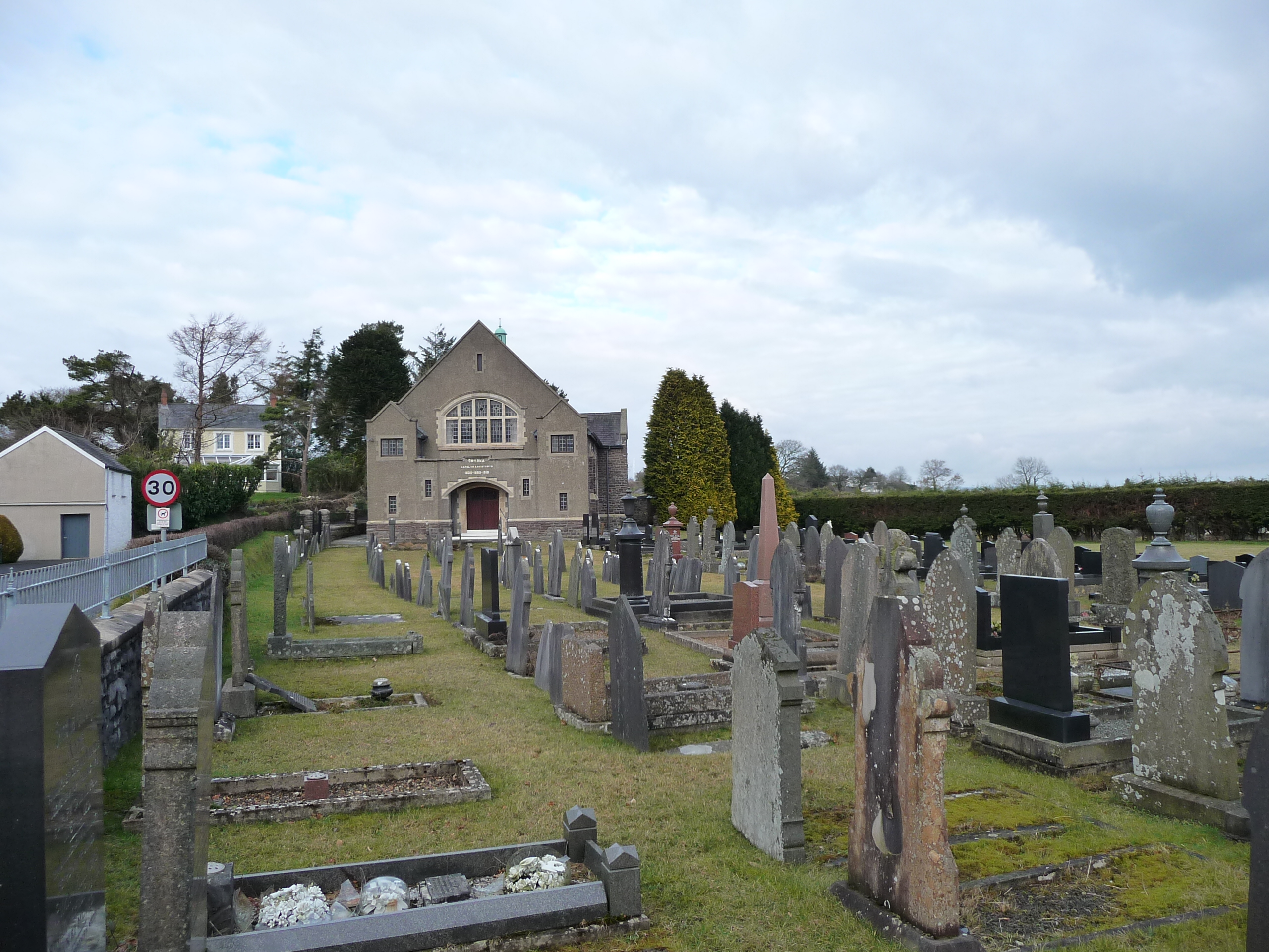
Llangain
Llangain is a village and community in Carmarthenshire, in the south-west of Wales. Located to the west of the River Towy, and south of the town of Carmarthen...

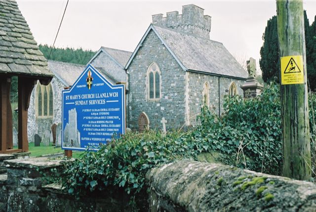
St Mary's Church, Llanllwch
St Mary's Church is an Anglican parish church in the hamlet of Llanllwch, Carmarthenshire, Wales. It was originally a chapel attached to St Peter's Church...

Queen Elizabeth High School, Carmarthen
Queen Elizabeth High School is a comprehensive school for Carmarthen town and its surrounding areas. == History == The school was formed in September...
Dan-Lan-Y-Castell Quarry
Dan-Lan-Y-Castell Quarry is a Site of Special Scientific Interest in Carmarthen & Dinefwr, Wales. == References == == See also == List of Sites of Special...
Rhyd-y-gors
The name Rhyd-y-gors or Rhydygors has been associated with two historic sites near the market town of Carmarthen in Southwest Wales. The first was the...
Llanllwch
Llanllwch is a hamlet in Carmarthenshire, Wales approximately 2 miles (3.2 km) west of Carmarthen. == History == The name Llanllwch derives from a lake...
Glan Pibwr Stream Section
Glan Pibwr Stream Section is a Site of Special Scientific Interest in Carmarthen & Dinefwr, Wales. Datasets for various species associated with this area...
Nearby Amenities
Located within 500m of 51.826869,-4.3372907Have you been to Allt y Ci?
Leave your review of Allt y Ci below (or comments, questions and feedback).