Black Pool
Sea, Estuary, Creek in Carmarthenshire
Wales
Black Pool
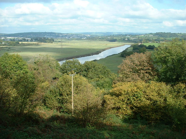
Black Pool is a picturesque coastal area located in Carmarthenshire, Wales. Situated on the southern coast of the country, it offers a unique combination of sea, estuary, and creek, making it an idyllic destination for nature enthusiasts and those seeking tranquility.
The main attraction of Black Pool is its stunning black sand beach, which stretches for approximately 2 miles along the shoreline. The black sand is a result of the volcanic rocks that are found in the area, giving the beach a distinctive and mesmerizing appearance. Visitors can enjoy long walks along the beach, collecting seashells, or simply basking in the peaceful atmosphere.
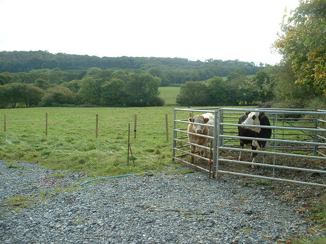
Adjacent to the beach is the estuary, where the River Black flows into the sea. This estuary is home to a rich variety of wildlife, including numerous bird species, such as herons, gulls, and oystercatchers. Birdwatchers can spend hours observing these fascinating creatures in their natural habitat.
In addition, Black Pool offers a small creek that meanders through the surrounding marshland. The creek is an ideal spot for kayaking or canoeing, allowing visitors to explore the serene waters and take in the breathtaking views of the surrounding countryside.
Overall, Black Pool in Carmarthenshire is a hidden gem for nature lovers. Its unique combination of sea, estuary, and creek provides a diverse and captivating environment that is both peaceful and awe-inspiring. Whether you are seeking a quiet beach getaway or an opportunity to immerse yourself in nature, Black Pool is a destination that should not be missed.
If you have any feedback on the listing, please let us know in the comments section below.
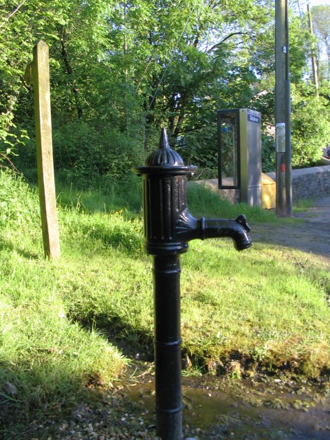
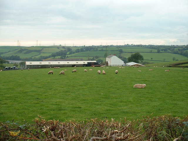
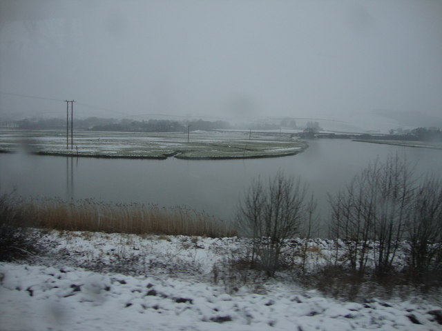
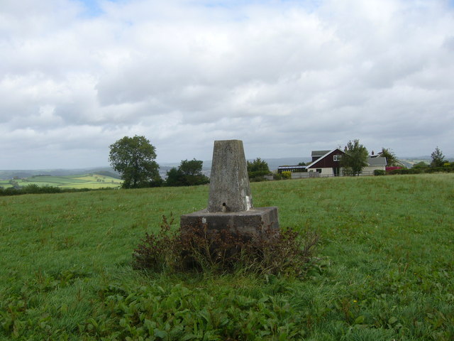
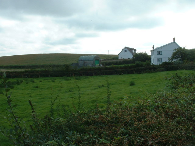
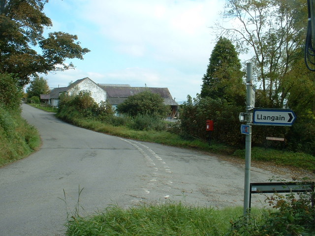
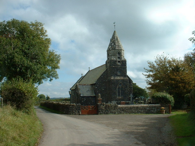
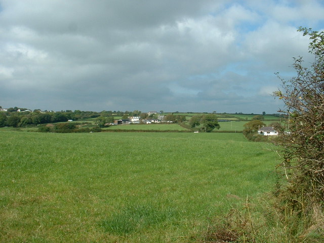
Black Pool Images
Images are sourced within 2km of 51.827961/-4.3266945 or Grid Reference SN3916. Thanks to Geograph Open Source API. All images are credited.


Black Pool is located at Grid Ref: SN3916 (Lat: 51.827961, Lng: -4.3266945)
Unitary Authority: Carmarthenshire
Police Authority: Dyfed Powys
What 3 Words
///gather.reliving.apparatus. Near Llangain, Carmarthenshire
Nearby Locations
Related Wikis
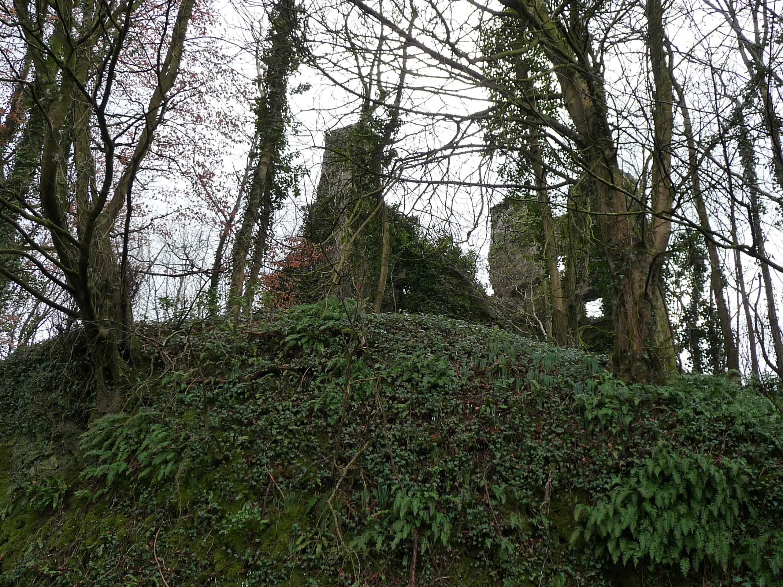
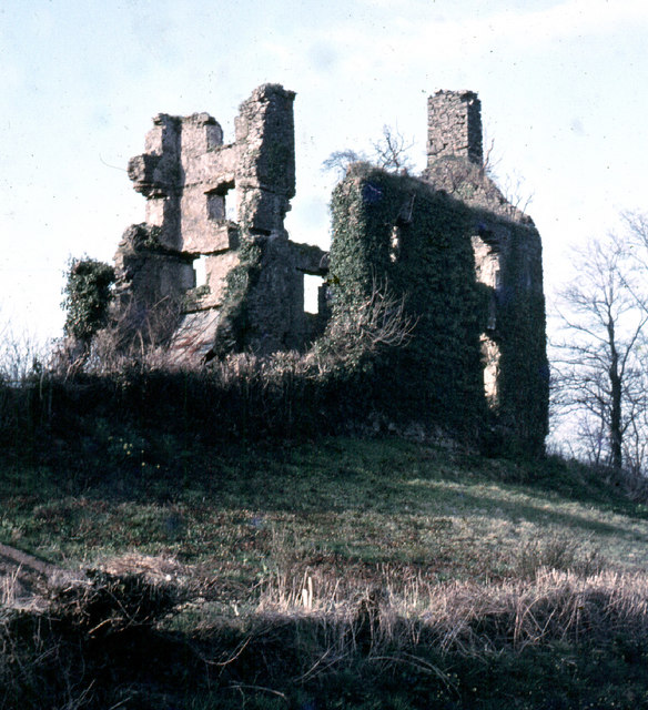
Castell Moel
Castell Moel (also known as Greencastle, Green Castle, Humphreys Castle, or Castle Mole) is the remains of a 16th-century fortified manor house in the...
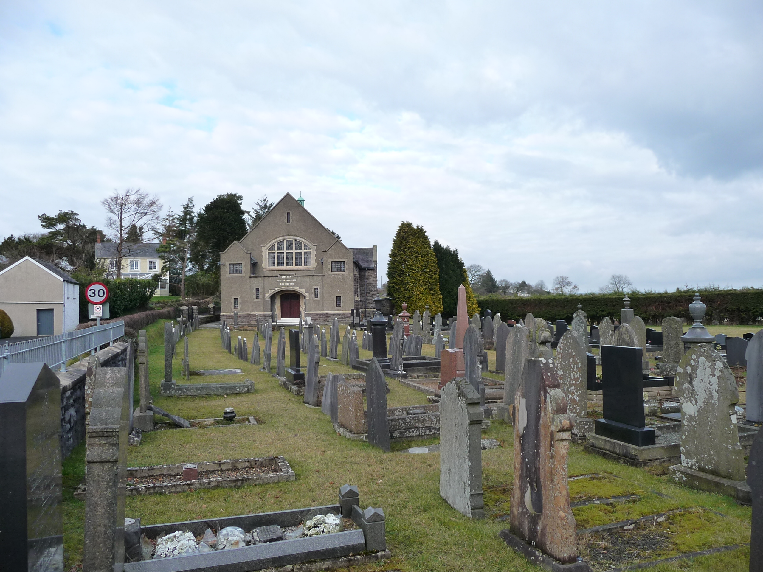
Llangain
Llangain is a village and community in Carmarthenshire, in the south-west of Wales. Located to the west of the River Towy, and south of the town of Carmarthen...

Queen Elizabeth High School, Carmarthen
Queen Elizabeth High School is a comprehensive school for Carmarthen town and its surrounding areas. == History == The school was formed in September...
Glan Pibwr Stream Section
Glan Pibwr Stream Section is a Site of Special Scientific Interest in Carmarthen & Dinefwr, Wales. Datasets for various species associated with this area...

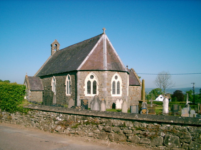
St Mary's Church, Llanllwch
St Mary's Church is an Anglican parish church in the hamlet of Llanllwch, Carmarthenshire, Wales. It was originally a chapel attached to St Peter's Church...
Rhyd-y-gors
The name Rhyd-y-gors or Rhydygors has been associated with two historic sites near the market town of Carmarthen in Southwest Wales. The first was the...
Cwmffrwd
Cwmffrwd is a village in Carmarthenshire, Wales, located around two miles (3.2 km) south of Carmarthen. Cwmffrwd is mainly a 20th-century settlement dominating...

Idole
Idole is a village in Carmarthenshire, Wales. Within the village is the Ysgol Y Fro school for juniors. == References ==
Nearby Amenities
Located within 500m of 51.827961,-4.3266945Have you been to Black Pool?
Leave your review of Black Pool below (or comments, questions and feedback).