Castell Moel

Heritage Site in Carmarthenshire

Wales

Castell Moel

Handpump in Croesyceiliog At the roadside just on the north side of the bridge in Croesyceiliog is this water pump. It has a fresh coat of black paint, but I didn't try to see if it actually works.
Also in the picture are the finger post for a public footpath and a phone box also marked on the map.
Handpump in Croesyceiliog Credit: Nigel Davies

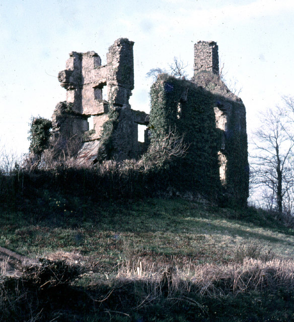
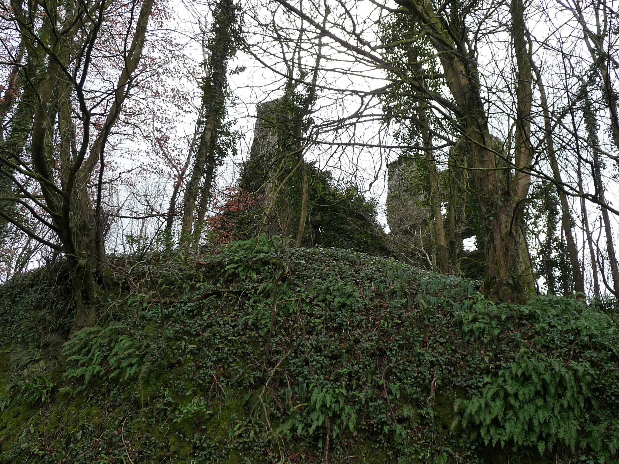
Castell Moel is a historic heritage site located in the county of Carmarthenshire, Wales. This ancient hillfort is situated on a prominent hilltop in the Brecon Beacons National Park, offering breathtaking views of the surrounding countryside.

The hillfort dates back to the Iron Age, believed to have been constructed around 600 BC. It consists of a circular enclosure with a diameter of approximately 40 meters, enclosed by a series of earthworks and defensive ditches. The site was strategically chosen for its commanding position, providing natural protection against potential invaders.

The remains of Castell Moel showcase the impressive defensive structures built by its ancient inhabitants. The earthworks are well-preserved, with the outer rampart standing at a height of around 3 meters in some places. The interior of the hillfort contains evidence of numerous roundhouses, indicating that it was once a thriving community.

Excavations have revealed various artifacts, including pottery fragments and tools, providing valuable insights into the daily lives of the Iron Age people who inhabited this site. These findings suggest that Castell Moel was likely a place of importance, possibly serving as a regional center for trade and social gatherings.

Today, Castell Moel is a popular destination for history enthusiasts and hikers alike. Its elevated location allows visitors to appreciate the stunning panoramic views of the Welsh countryside, while also exploring the ancient ruins and imagining the lives of those who once called this hillfort home.

If you have any feedback on the listing, please let us know in the comments section below.

Castell Moel Images

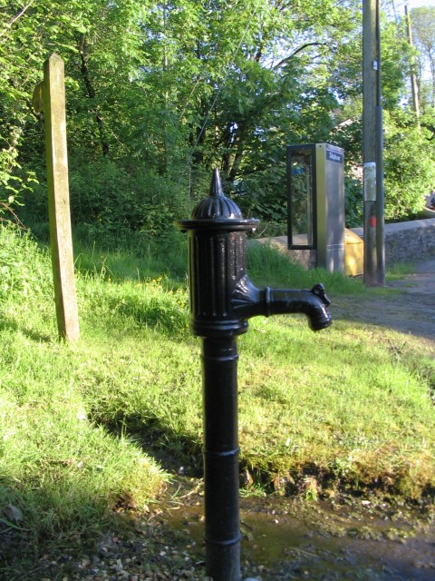
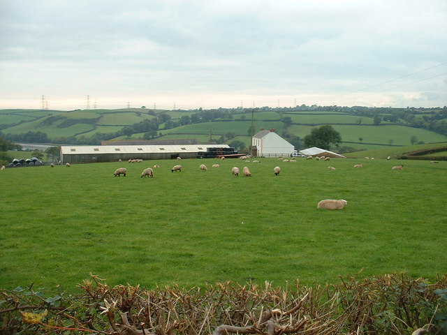
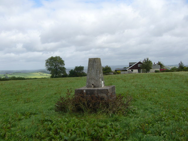
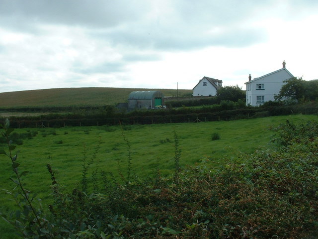
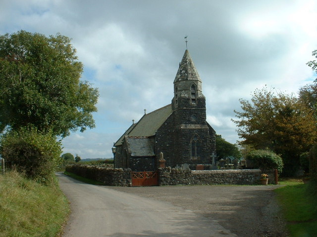
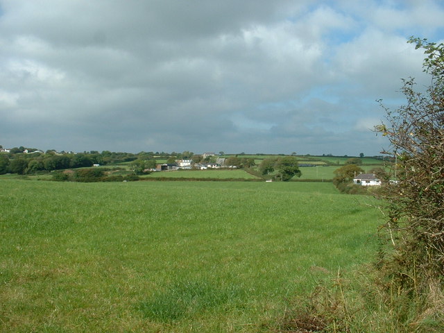
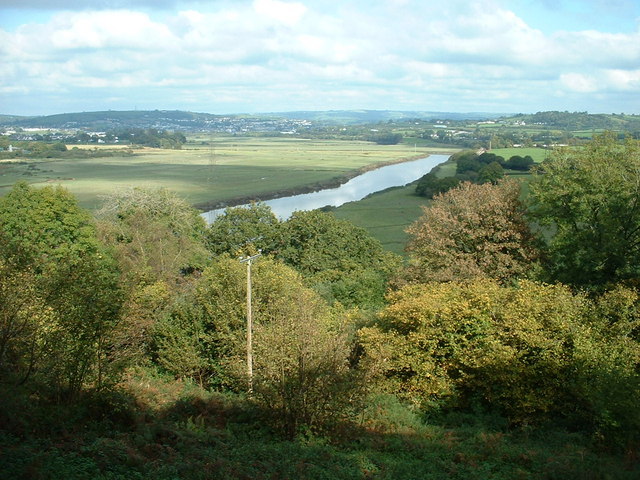
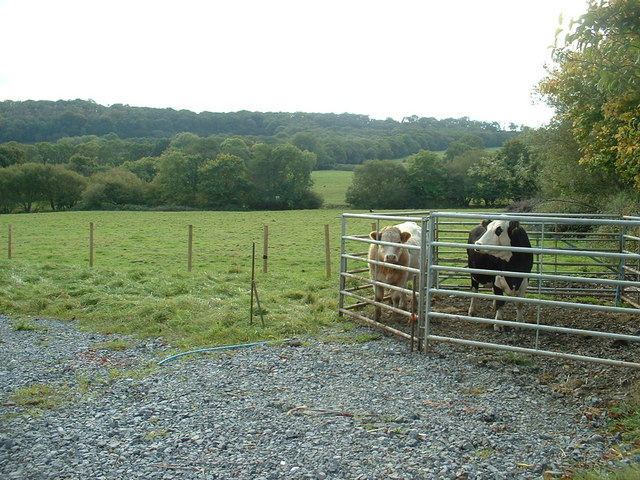
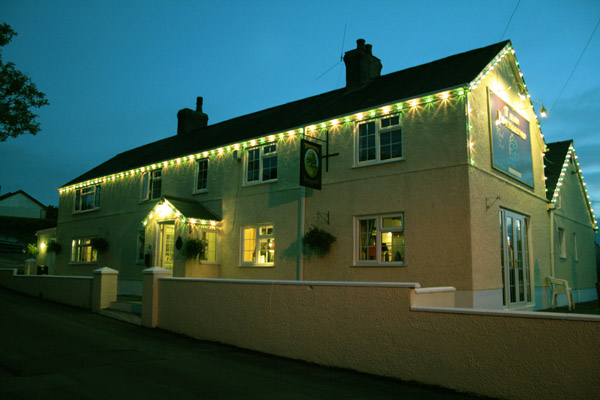
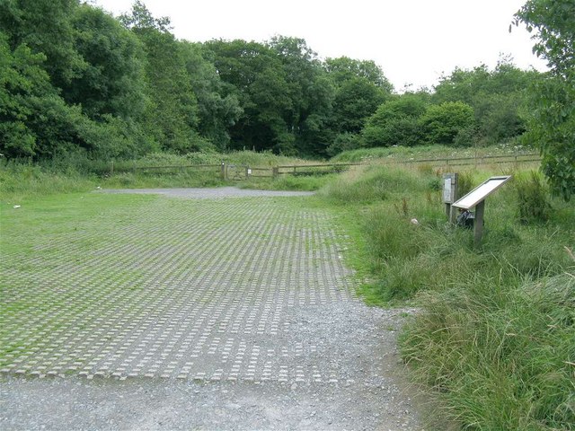
Images are sourced within 2km of 51.823/-4.328 or Grid Reference SN3916. Thanks to Geograph Open Source API. All images are credited.

Handpump in Croesyceiliog At the roadside just on the north side of the bridge in Croesyceiliog is this water pump. It has a fresh coat of black paint, but I didn't try to see if it actually works.
Also in the picture are the finger post for a public footpath and a phone box also marked on the map.
Handpump in Croesyceiliog
At the roadside just on the north side of the bridge in Croesyceiliog is this water pump. It has a fresh coat of black paint, but I didn't try to see if it actually works. Also in the picture are the finger post for a public footpath and a phone box also marked on the map.
Capel Penygraig/Penygraig chapel
Looking towards Bro Myrddin school The edge of the square passes across the frontage of the school.
Looking towards Bro Myrddin school
The edge of the square passes across the frontage of the school.
Cwm-felin farm The Afon Tywi can just be seen, left of centre.
Cwm-felin farm
The Afon Tywi can just be seen, left of centre.
Bend in the river Towy
Llangain trig
Llangain trig
Dderwen and Talefryn The nearest house is Dderwen.
Dderwen and Talefryn
The nearest house is Dderwen.
Llangain church
Llangain church
Farmland near Penhen Llangain church is in the centre, in the adjacent square.
Farmland near Penhen
Llangain church is in the centre, in the adjacent square.
Afon Tywi near Carmarthen Carmarthen is visible just left of centre.
Afon Tywi near Carmarthen
Carmarthen is visible just left of centre.
Farmland and prisoners
Tafarn Pant y Dderwen at Llangain near Carmarthen This was taken at one minute past eleven o'clock at night after a bright sunny day at the end of May.  This is the only pub in the village of church, chapel, memorial hall, primary school and a part time post office and shop.
Tafarn Pant y Dderwen at Llangain near Carmarthen
This was taken at one minute past eleven o'clock at night after a bright sunny day at the end of May. This is the only pub in the village of church, chapel, memorial hall, primary school and a part time post office and shop.
Castell Moel (Green Castle) Ruins of Green Castle (Castell Moel) 15th Century mansion overlooking the river Towy. Semi-Natural ancient woodlands near Llangain. Woodland Trust walks. Picture taken in late 1960s.
Castell Moel (Green Castle)
Ruins of Green Castle (Castell Moel) 15th Century mansion overlooking the river Towy. Semi-Natural ancient woodlands near Llangain. Woodland Trust walks. Picture taken in late 1960s.
Car Park at Green Castle Woods Green Castle Woods is a Woodland Trust site with a car park and several walks on both the north and south side of the road.
Unfortunately the castle remains are on private land, not in the forest.
Car Park at Green Castle Woods
Green Castle Woods is a Woodland Trust site with a car park and several walks on both the north and south side of the road. Unfortunately the castle remains are on private land, not in the forest.
Farmland above the Towy valley
Cattle grazing And one more curious than the rest.
Cattle grazing
And one more curious than the rest.
Cwmyrarian Farm Remains of the farm where up to 10 families lived at one time
Cwmyrarian Farm
Remains of the farm where up to 10 families lived at one time
Wales Coast Path near Cwmyrarian
Show me another place!

Castell Moel is located at Grid Ref: SN3916 (Lat: 51.823, Lng: -4.328)

Unitary Authority: Carmarthenshire

Police Authority: Dyfed Powys

What 3 Words

///nation.breeding.something. Near Llangain, Carmarthenshire

Related Wikis

Castell Moel

Castell Moel (also known as Greencastle, Green Castle, Humphreys Castle, or Castle Mole) is the remains of a 16th-century fortified manor house in the...

Llangain

Llangain is a village and community in Carmarthenshire, in the south-west of Wales. Located to the west of the River Towy, and south of the town of Carmarthen...

Glan Pibwr Stream Section

Glan Pibwr Stream Section is a Site of Special Scientific Interest in Carmarthen & Dinefwr, Wales. Datasets for various species associated with this area...

St Mary's Church, Llanllwch

St Mary's Church is an Anglican parish church in the hamlet of Llanllwch, Carmarthenshire, Wales. It was originally a chapel attached to St Peter's Church...

Nearby Amenities

Located within 500m of 51.823,-4.328
Source: PGS
Lat/Long: 51.8266316/-4.3282378
Source: PGS
Lat/Long: 51.8268491/-4.3282183
Source: PGS
Lat/Long: 51.8269977/-4.3281834
Source: PGS
Lat/Long: 51.8267/-4.3273873
Source: PGS
Lat/Long: 51.826399/-4.3281047
Source: PGS
Lat/Long: 51.826469/-4.3272724
Source: PGS
Lat/Long: 51.826302/-4.3271298
Source: PGS
Lat/Long: 51.8259719/-4.3275344
Source: PGS
Lat/Long: 51.8261016/-4.3267856
Source: PGS
Lat/Long: 51.8258898/-4.3263631
Source: PGS
Lat/Long: 51.8251234/-4.3264893
Source: PGS
Lat/Long: 51.8258473/-4.3262152
Source: PGS
Lat/Long: 51.8255728/-4.325628
Source: PGS
Lat/Long: 51.8240942/-4.325017
Source: PGS
Lat/Long: 51.8246252/-4.3256627
Source: PGS
Lat/Long: 51.8252292/-4.3248054
Source: PGS
Lat/Long: 51.8252235/-4.3247312
Source: PGS
Lat/Long: 51.8249823/-4.3242409
Source: PGS
Lat/Long: 51.8237506/-4.3246064
Source: PGS
Lat/Long: 51.8247693/-4.3237628
Source: PGS
Lat/Long: 51.8245597/-4.3233557
Source: PGS
Lat/Long: 51.8244368/-4.3231551
Source: PGS
Lat/Long: 51.8242417/-4.3229805
Source: PGS
Lat/Long: 51.8235872/-4.3241297
Source: PGS
Lat/Long: 51.8224252/-4.3224862
Source: PGS
Lat/Long: 51.8227149/-4.3228393
Source: PGS
Lat/Long: 51.8229429/-4.3231343
Source: PGS
Lat/Long: 51.8232451/-4.3236081
Source: PGS
Lat/Long: 51.8239584/-4.3225832
Source: PGS
Lat/Long: 51.8238645/-4.3224682
Source: PGS
Lat/Long: 51.8233764/-4.3218403
Source: PGS
Lat/Long: 51.8228583/-4.3211881
Source: PGS
Lat/Long: 51.821473/-4.3211645
Source: PGS
Lat/Long: 51.821762/-4.3215786
Source: PGS
Lat/Long: 51.8219118/-4.321779
Source: PGS
Lat/Long: 51.8221352/-4.3221309
Source: PGS
Lat/Long: 51.8222161/-4.3222849
Source: PGS
Lat/Long: 51.8222555/-4.3222799
Source: PGS
Lat/Long: 51.8226677/-4.3209899
Barrier: kissing_gate
Lat/Long: 51.8188479/-4.3266176
Leisure: picnic_table
Lat/Long: 51.8253402/-4.3319004
Barrier: kissing_gate
Lat/Long: 51.8230656/-4.3344224
Bench
Backrest: no
Material: wood
Seats: 10
Lat/Long: 51.8240832/-4.32764
The data included in this document is from www.openstreetmap.org. The data is made available under ODbL.

Have you been to Castell Moel?

Leave your review of Castell Moel below (or comments, questions and feedback).