Allt y Cwm

Wood, Forest in Cardiganshire

Wales

Allt y Cwm

The former Post Office at Pentre-cwrt
The former Post Office at Pentre-cwrt Credit: Peter Wood

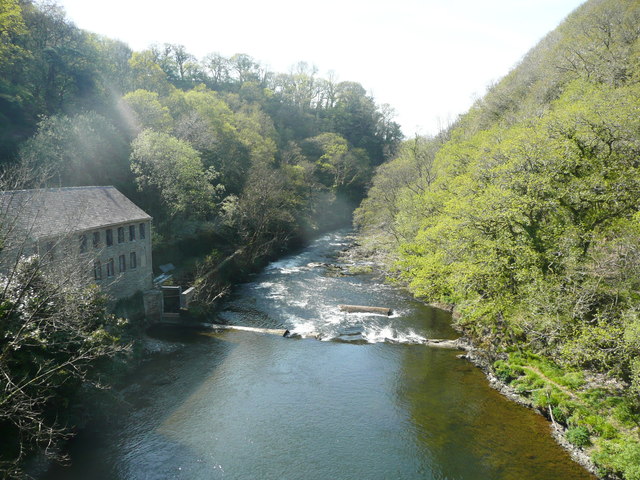
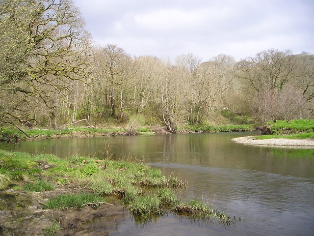
Allt y Cwm, located in Cardiganshire, is a picturesque wood or forest that spans across a vast area. The name "Allt y Cwm" translates to "slope of the valley" in English, which accurately describes its geographical location. The wood is known for its stunning natural beauty and diverse flora and fauna.

The forest is predominantly made up of native tree species such as oak, beech, and ash, which provide a dense canopy and create a peaceful and tranquil atmosphere. This dense cover also supports a wide range of wildlife, including birds, small mammals, and insects. It is a paradise for nature lovers and birdwatchers, as it is home to various species, including red kites, buzzards, and woodpeckers.

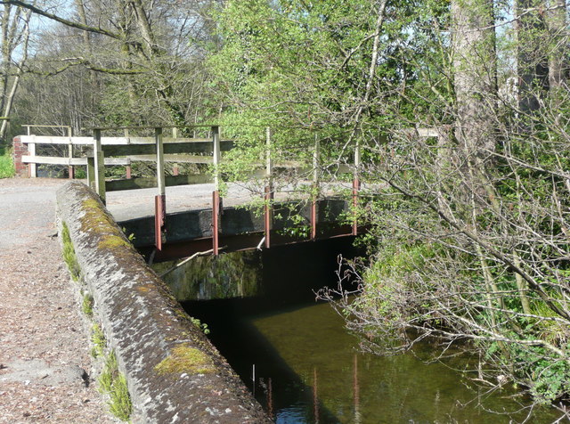
Visitors can enjoy a variety of activities in Allt y Cwm. There are several walking trails that wind through the forest, offering breathtaking views of the surrounding landscape. The trails vary in difficulty, catering to all levels of fitness and experience. Along the way, hikers can discover hidden waterfalls, babbling brooks, and ancient ruins, adding a touch of history and mystery to the experience.

Allt y Cwm is also a popular spot for picnics and photography enthusiasts. The peaceful ambiance and the abundance of wildlife provide ample opportunities for capturing stunning images. The wood attracts visitors year-round, with each season bringing its own unique charm. In spring, the forest is adorned with vibrant wildflowers, while autumn paints the trees in a riot of colors.

Overall, Allt y Cwm in Cardiganshire is a natural wonder that offers a serene escape from the hustle and bustle of everyday life. Its beauty and tranquility make it a must-visit destination for nature enthusiasts and those seeking a peaceful retreat.

If you have any feedback on the listing, please let us know in the comments section below.
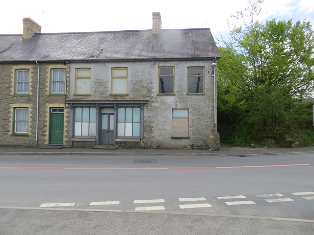
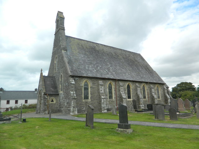
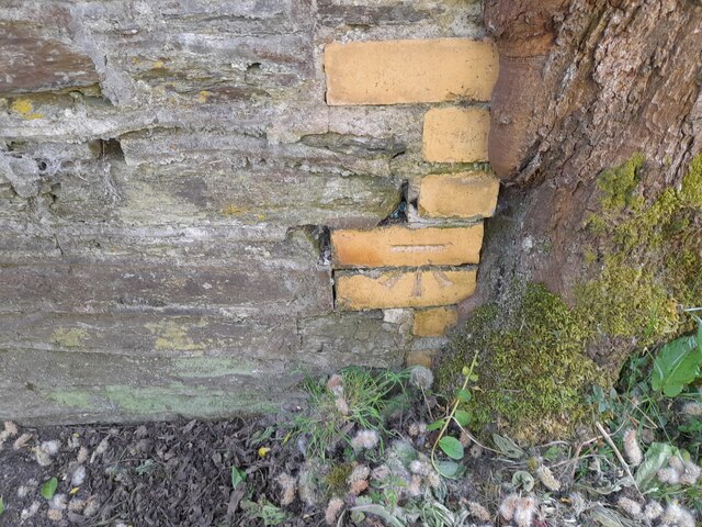
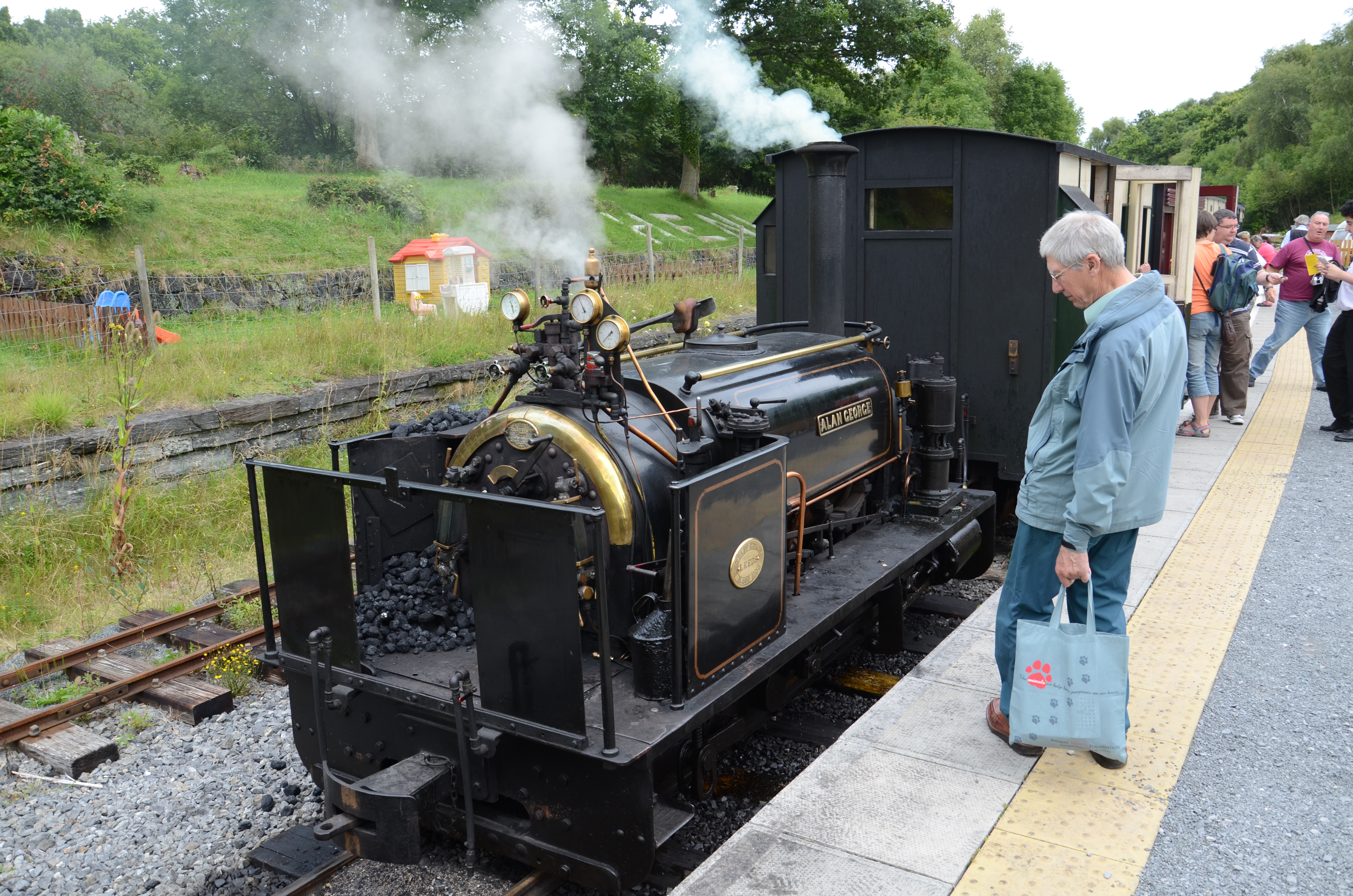
Allt y Cwm Images

Images are sourced within 2km of 52.03419/-4.3635918 or Grid Reference SN3739. Thanks to Geograph Open Source API. All images are credited.

The former Post Office at Pentre-cwrt
Ordnance Survey Flush Bracket S0434 This can be found of a derelict and unused building - the former Post Office.
For more detail see : <span class="nowrap"><a title="http://www.bench-marks.org.uk/log?bm_key=20588" rel="nofollow ugc noopener" href="http://www.bench-marks.org.uk/log?bm_key=20588">Link</a><img style="margin-left:2px;" alt="External link" title="External link - shift click to open in new window" src="https://s1.geograph.org.uk/img/external.png" width="10" height="10"/></span>
Ordnance Survey Flush Bracket S0434
This can be found of a derelict and unused building - the former Post Office. For more detail see : LinkExternal link
Gateway to Llangeler churchyard
Llangeler parish church
Ordnance Survey Cut Mark This OS cut mark can be found on the south face of the porch of St Celer's Church. It marks a point 116.176m above mean sea level.
Ordnance Survey Cut Mark
This OS cut mark can be found on the south face of the porch of St Celer's Church. It marks a point 116.176m above mean sea level.
Llwyndafydd Inn, Saron
Ordnance Survey Rivet This OS rivet can be found on the west parapet of Pont Allt-y-cafan. It marks a point 57.957m above mean sea level.
Ordnance Survey Rivet
This OS rivet can be found on the west parapet of Pont Allt-y-cafan. It marks a point 57.957m above mean sea level.
Ordnance Survey Cut Mark This OS cut mark can be found on the garage at Graig-y-deri. It marks a point 95.144m above mean sea level.
Ordnance Survey Cut Mark
This OS cut mark can be found on the garage at Graig-y-deri. It marks a point 95.144m above mean sea level.
Ger Pont Allt y Cafan / Near Pont Allt y Cafan Cerddwyr yn dilyn hen reilffordd ar lan Afon Teifi.

Walkers following a former railway on the banks of the Teifi River
Ger Pont Allt y Cafan / Near Pont Allt y Cafan
Cerddwyr yn dilyn hen reilffordd ar lan Afon Teifi. Walkers following a former railway on the banks of the Teifi River
Afon Teifi and the surviving part of Allt-y-cafn Mills, Pentre Cwrt These mills were developed from the 1860s by John Lloyd Davies. (Information from 'The Buildings of Wales') On the 1889 1:2500 map this was the only building shown, captioned 'Allt-y-cafn Factory (Woollen)' It is being renovated, presumably for housing.  The line across the river is a weir, which surprisingly is not shown on the 1889 map but is on the 1906 edition, on which the building has become 'Alltcavan Mills (Woollen)'.
Afon Teifi and the surviving part of Allt-y-cafn Mills, Pentre Cwrt
These mills were developed from the 1860s by John Lloyd Davies. (Information from 'The Buildings of Wales') On the 1889 1:2500 map this was the only building shown, captioned 'Allt-y-cafn Factory (Woollen)' It is being renovated, presumably for housing. The line across the river is a weir, which surprisingly is not shown on the 1889 map but is on the 1906 edition, on which the building has become 'Alltcavan Mills (Woollen)'.
The Afon Teifi from Pont Allt-y-cafn, Pentre Cwrt The bridge is very high above the river.
The Afon Teifi from Pont Allt-y-cafn, Pentre Cwrt
The bridge is very high above the river.
Bridge at entrance to Melin-y-Derw (Wood Craftmanship in Wales) The stream is called Afon Seidi.
Bridge at entrance to Melin-y-Derw (Wood Craftmanship in Wales)
The stream is called Afon Seidi.
Ordnance Survey Flush Bracket (S0434) This OS Flush Bracket can be found on the former Post Office. It marks a point 63.122m above mean sea level.
Ordnance Survey Flush Bracket (S0434)
This OS Flush Bracket can be found on the former Post Office. It marks a point 63.122m above mean sea level.
The Llwyndafydd Inn The Llwyndafydd Inn in the village of Saron.
The Llwyndafydd Inn
The Llwyndafydd Inn in the village of Saron.
The A484 passing through Saron
Ordnance Survey Rivet This OS rivet can be found on the step at the NE angle of the church. It marks a point 141.194m above mean sea level.
Ordnance Survey Rivet
This OS rivet can be found on the step at the NE angle of the church. It marks a point 141.194m above mean sea level.
Ordnance Survey Cut Mark This OS cut mark can be found on the south parapet of the bridge. It marks a point 42.043m above mean sea level.
Ordnance Survey Cut Mark
This OS cut mark can be found on the south parapet of the bridge. It marks a point 42.043m above mean sea level.
Show me another place!

Allt y Cwm is located at Grid Ref: SN3739 (Lat: 52.03419, Lng: -4.3635918)

Unitary Authority: Ceredigion

Police Authority: Dyfed Powys

What 3 Words

///nourished.seaside.reverses. Near Llandysul, Ceredigion

Nearby Locations

Llangeler Allt y Cwm

Related Wikis

Bangor Teifi

Bangor Teifi is a hamlet in the community of Llandyfriog, Ceredigion, Wales, which is 63.7 miles (102.5 km) from Cardiff and 184.7 miles (297.2 km) from...

Civil-Military Cooperation Centre of Excellence

The Civil-Military Cooperation Centre of Excellence (CCOE) is an international military organization founded to support NATO's transformation program....

Pentrecourt Platform railway station

Pentrecourt Platform was a minor railway station near the village of Pentrecwrt, West Wales, on the originally broad gauge Teifi Valley line of the Carmarthen...

Pentrecwrt

Pentrecwrt (or Pentrecourt) is a village in north Carmarthenshire, Wales on the A486 road halfway between Carmarthen and New Quay. == History == Pencastell...

Trebedw

Trebedw is a small village in the community of Llandyfriog, Ceredigion, Wales. Trebedw is represented in the Senedd by Elin Jones (Plaid Cymru) and is...

Glyncaled

Glyncaled is a hamlet in the community of Llandyfriog, Ceredigion, Wales, which is 64.8 miles (104.3 km) from Cardiff and 185.8 miles (299 km) from London...

Skanda Vale Hospice

Skanda Vale Hospice is a volunteer-based hospice specialising in palliative care, located in Carmarthenshire, Wales. The hospice is located in the village...

Henllan railway station

Henllan was a railway station near the village of Henllan, Ceredigion, West Wales, serving the hamlet and the rural locale. == History == The Teifi Valley...

Nearby Amenities

Located within 500m of 52.03419,-4.3635918
Direction: SW
Generator Method: photovoltaic
Generator Output Electricity: yes
Generator Solar Modules: 16
Generator Source: solar
Generator Type: solar_photovoltaic_panel
Location: roof
Power: generator
Lat/Long: 52.032124/-4.3693104
The data included in this document is from www.openstreetmap.org. The data is made available under ODbL.

Have you been to Allt y Cwm?

Leave your review of Allt y Cwm below (or comments, questions and feedback).