Tyn-y-lôn Covert
Wood, Forest in Anglesey
Wales
Tyn-y-lôn Covert
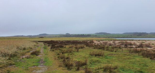
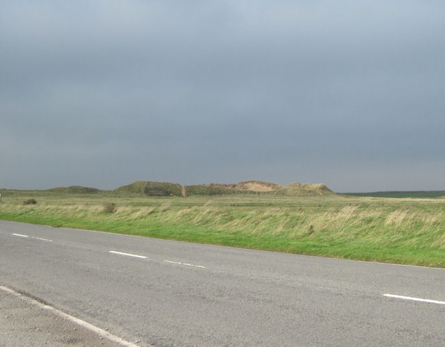
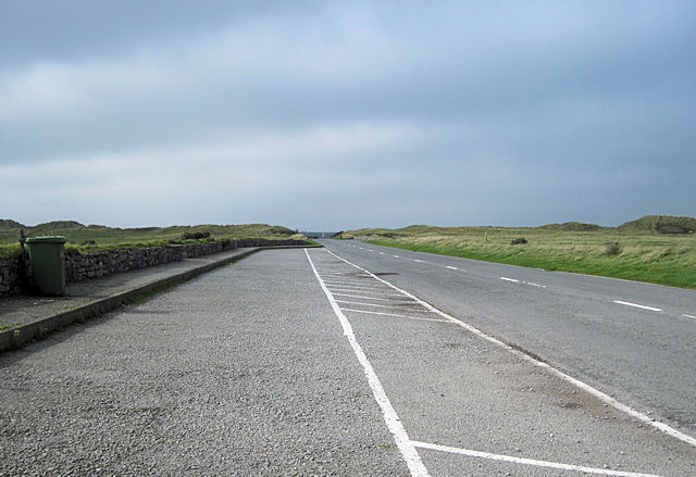
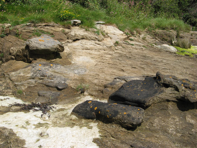
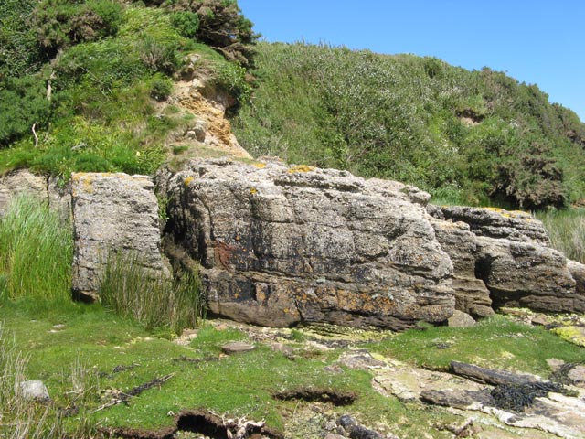
Tyn-y-lôn Covert, located in Anglesey, is a picturesque wood or forest that spans across a significant area of land. It is considered one of the most beautiful and diverse natural areas on the island. The woodland is composed of various species of trees, including oak, birch, and beech, which create a rich and vibrant landscape.
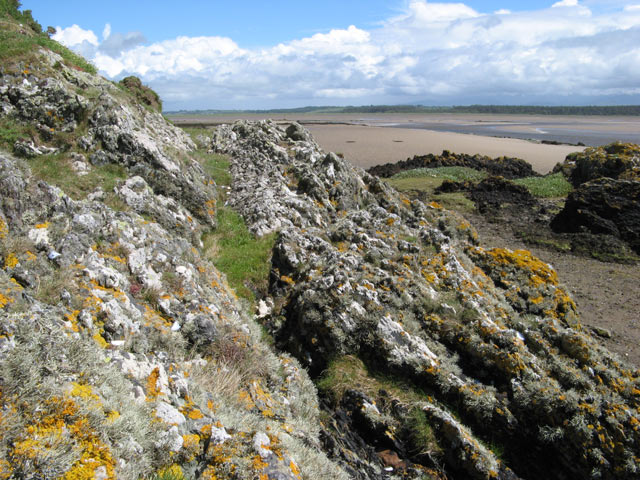
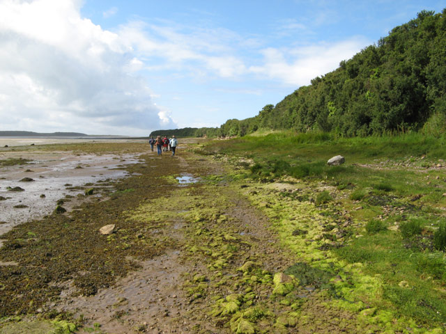
Tyn-y-lôn Covert offers a tranquil and serene atmosphere, attracting nature lovers, hikers, and bird watchers. It is home to a wide array of wildlife, including numerous bird species such as woodpeckers, tits, and finches. Visitors often have the opportunity to spot rare and elusive animals like red squirrels, badgers, and foxes.
The wood features well-maintained paths and trails that allow visitors to explore the area easily. As one wanders through the woodland, they will come across babbling brooks, small waterfalls, and enchanting wildflowers. These natural features add to the overall charm and beauty of Tyn-y-lôn Covert.
The woodland also holds historical significance, with remnants of ancient settlements and ruins scattered throughout. It serves as a reminder of Anglesey's rich cultural heritage and its connection to nature.
Overall, Tyn-y-lôn Covert offers a peaceful retreat for those seeking solace in nature. Its diverse ecosystem, stunning landscapes, and historical significance make it a popular destination for both locals and tourists alike.
If you have any feedback on the listing, please let us know in the comments section below.
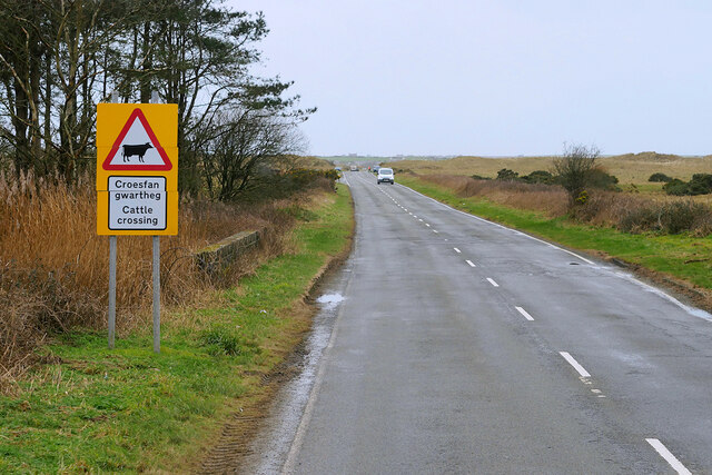
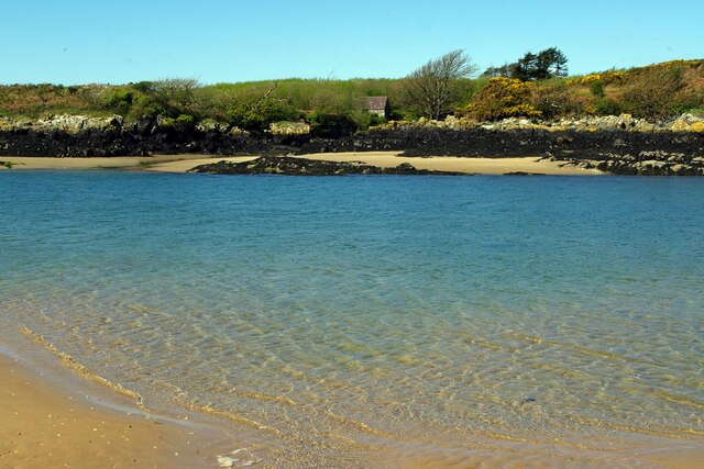
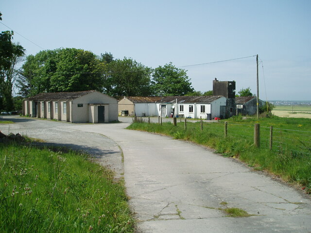
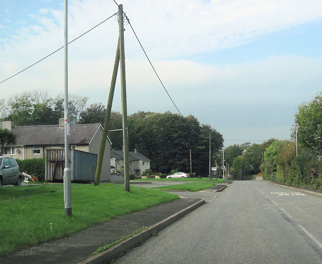
Tyn-y-lôn Covert Images
Images are sourced within 2km of 53.180929/-4.4256827 or Grid Reference SH3767. Thanks to Geograph Open Source API. All images are credited.


Tyn-y-lôn Covert is located at Grid Ref: SH3767 (Lat: 53.180929, Lng: -4.4256827)
Unitary Authority: Isle of Anglesey
Police Authority: North Wales
What 3 Words
///gasping.misfits.gossiped. Near Rhosneigr, Isle of Anglesey
Nearby Locations
Related Wikis

RAF Bodorgan
Royal Air Force Bodorgan, or more simply RAF Bodorgan, is a former Royal Air Force satellite airfield located near to Bodorgan Hall on the Isle of Anglesey...

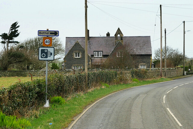
Bodorgan
Bodorgan is a village and community on the Isle of Anglesey, Wales, United Kingdom. According to the 2001 Census, there were 1,503 residents in the now...

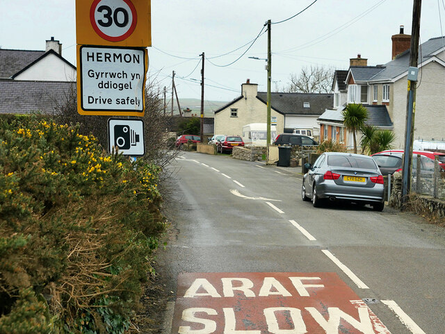
Hermon, Anglesey
Hermon is a village in Anglesey, in north-west Wales. It is located roughly halfway between Newborough and Aberffraw, some 6 miles south-west of Llangefni...

Llangadwaladr
Llangadwaladr () is a small village in south-west Anglesey, Wales, located around 2 miles east of Aberffraw and 3 miles south of Gwalchmai. It is part...
St Cadwaladr's Church, Llangadwaladr
St Cadwaladr's Church (Welsh: Eglwys Ael) is a Grade I listed church in Llangadwaladr, Anglesey. The location of the current church was established in...
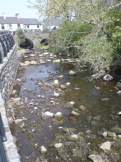
Afon Cefni
Afon Cefni is one of the major rivers on the island of Anglesey, Wales. It is 16.9 kilometres (11 mi) long. Its source is near to the village of Capel...

Aberffraw
Aberffraw is a village and community on the south west coast of the Isle of Anglesey (Welsh: Ynys Môn), in Wales. The village is 9 miles from the island...
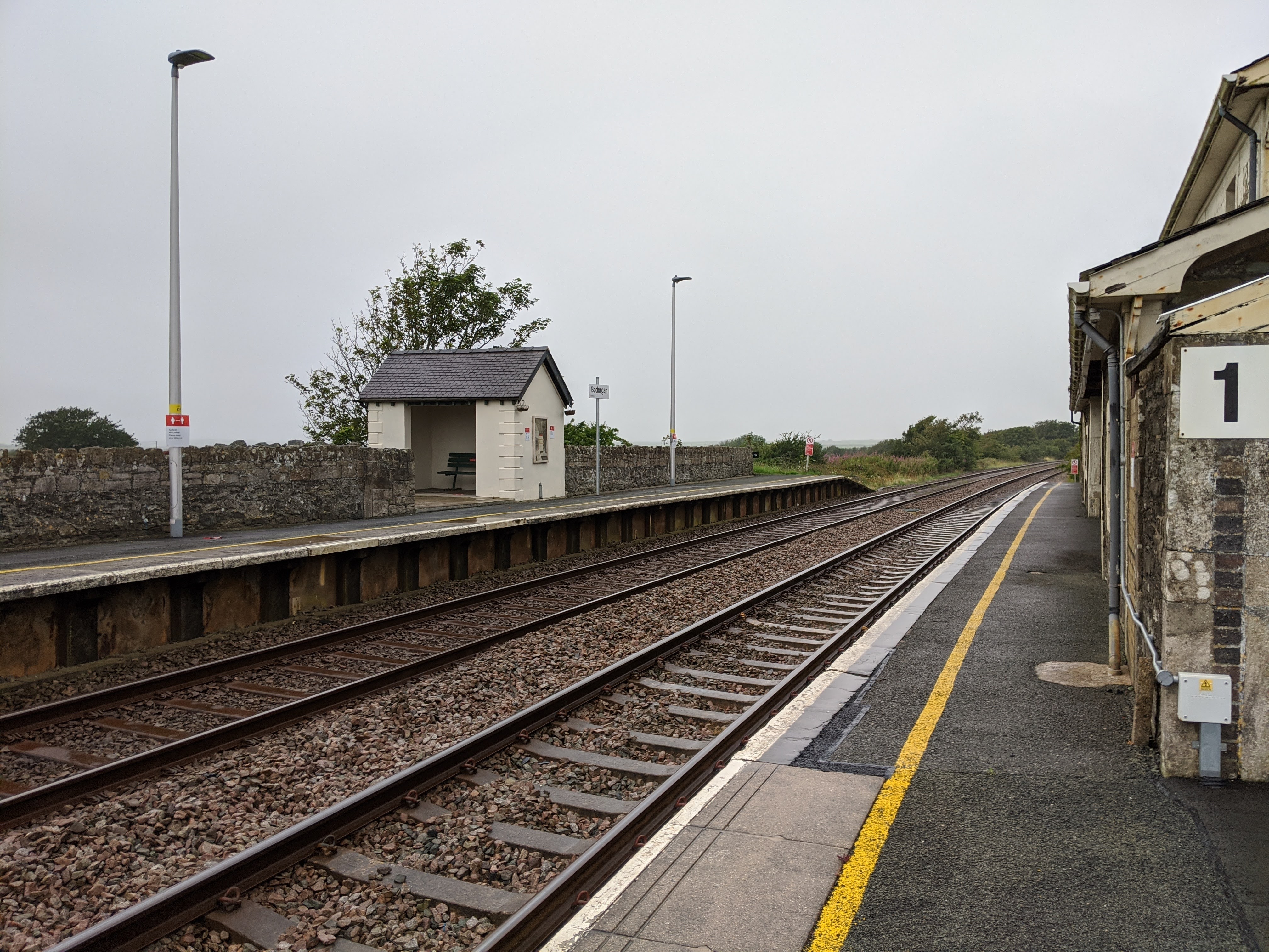
Bodorgan railway station
Bodorgan railway station serves the hamlet of Bodorgan and the village of Bethel on the Isle of Anglesey, Wales. The stop is an unmanned halt, and serves...
Nearby Amenities
Located within 500m of 53.180929,-4.4256827Have you been to Tyn-y-lôn Covert?
Leave your review of Tyn-y-lôn Covert below (or comments, questions and feedback).