Bodowen Covert
Wood, Forest in Anglesey
Wales
Bodowen Covert
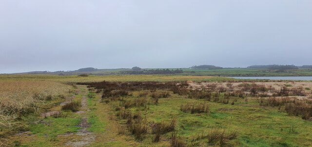
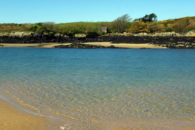
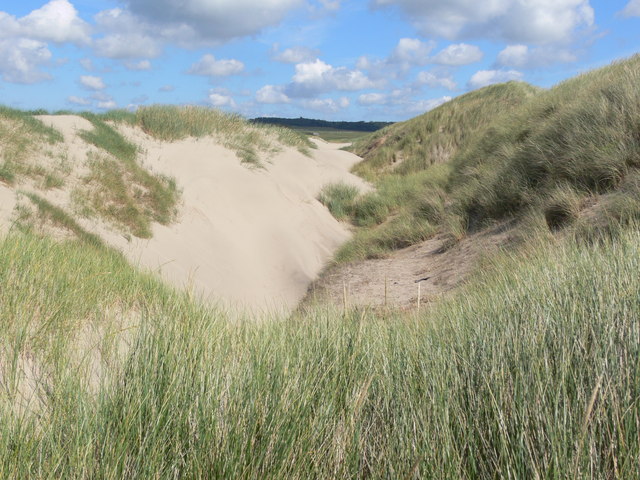
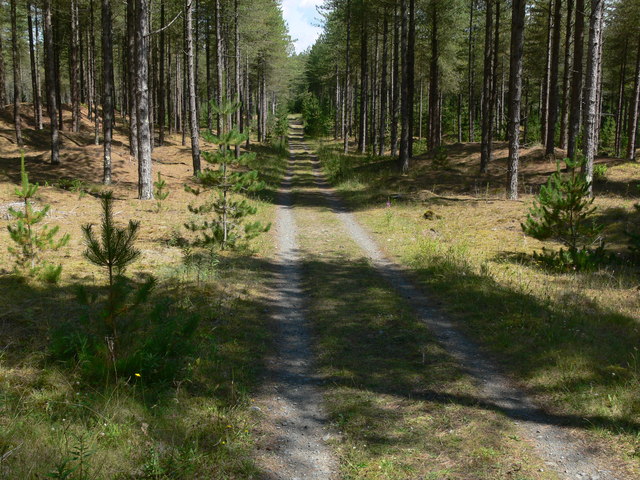
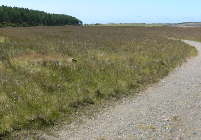
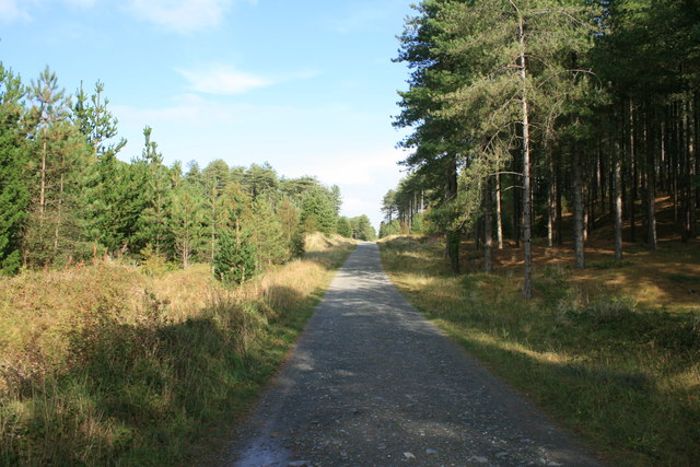
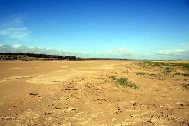
Bodowen Covert is a stunning woodland area located in Anglesey, an island off the northwestern coast of Wales. This enchanting woodland spans approximately 200 acres and is renowned for its natural beauty and diverse flora and fauna.
The covert is predominantly composed of native trees, including oak, beech, and birch, creating a rich and vibrant woodland ecosystem. The dense canopy of the trees provides a peaceful and secluded atmosphere, making it an ideal location for nature enthusiasts and those seeking solitude.
The woodland is home to a variety of wildlife, with numerous bird species inhabiting the area. Visitors may spot the likes of woodpeckers, owls, and various songbirds as they explore the winding trails that meander through the covert. Additionally, the woodland is known to be a habitat for small mammals such as squirrels and rabbits.
Bodowen Covert offers a range of recreational activities for visitors to enjoy. There are well-maintained paths for walking, jogging, and cycling, allowing visitors to immerse themselves in the tranquil surroundings. The woodland also provides opportunities for picnicking, birdwatching, and photography.
Managed by local authorities, Bodowen Covert is a cherished nature reserve that offers a peaceful retreat from the bustling towns and cities of Anglesey. Its natural beauty and ecological significance make it a valuable asset for both locals and visitors alike, providing a haven for wildlife and a place of respite for those seeking solace in nature.
If you have any feedback on the listing, please let us know in the comments section below.
Bodowen Covert Images
Images are sourced within 2km of 53.174268/-4.4265188 or Grid Reference SH3766. Thanks to Geograph Open Source API. All images are credited.


Bodowen Covert is located at Grid Ref: SH3766 (Lat: 53.174268, Lng: -4.4265188)
Unitary Authority: Isle of Anglesey
Police Authority: North Wales
What 3 Words
///shutting.sensibly.weaned. Near Rhosneigr, Isle of Anglesey
Nearby Locations
Related Wikis

Bodorgan
Bodorgan is a village and community on the Isle of Anglesey, Wales, United Kingdom. According to the 2001 Census, there were 1,503 residents in the now...

RAF Bodorgan
Royal Air Force Bodorgan, or more simply RAF Bodorgan, is a former Royal Air Force satellite airfield located near to Bodorgan Hall on the Isle of Anglesey...

Hermon, Anglesey
Hermon is a village in Anglesey, in north-west Wales. It is located roughly halfway between Newborough and Aberffraw, some 6 miles south-west of Llangefni...
Afon Cefni
Afon Cefni is one of the major rivers on the island of Anglesey, Wales. It is 16.9 kilometres (11 mi) long. Its source is near to the village of Capel...

Llangadwaladr
Llangadwaladr () is a small village in south-west Anglesey, Wales, located around 2 miles east of Aberffraw and 3 miles south of Gwalchmai. It is part...
St Cadwaladr's Church, Llangadwaladr
St Cadwaladr's Church (Welsh: Eglwys Ael) is a Grade I listed church in Llangadwaladr, Anglesey. The location of the current church was established in...
Afon Ffraw
The Afon Ffraw is a short river on the Isle of Anglesey, Wales. It arises at Llyn Coron and flows southwest for two miles along the northwestern margin...

Aberffraw
Aberffraw is a village and community on the south west coast of the Isle of Anglesey (Welsh: Ynys Môn), in Wales. The village is 9 miles from the island...
Have you been to Bodowen Covert?
Leave your review of Bodowen Covert below (or comments, questions and feedback).