Allt y Clochdy

Wood, Forest in Cardiganshire

Wales

Allt y Clochdy

Sign for Teifi cheese factory
Sign for Teifi cheese factory Credit: Alex McGregor

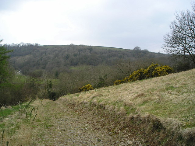
Allt y Clochdy is a wooded area located in Cardiganshire, Wales. It is situated in the picturesque countryside, surrounded by rolling hills and lush greenery. The name "Allt y Clochdy" translates to "Wood of the Forest" in English, accurately reflecting its natural and serene ambiance.

The forest covers a considerable area, with tall trees and dense foliage dominating the landscape. The predominant tree species found here are oak, ash, and beech, providing a dense canopy that filters sunlight and creates a cool and tranquil atmosphere.

The forest is known for its diverse wildlife. Various species of birds, including woodpeckers and owls, can be spotted amidst the trees. Squirrels and rabbits are also commonly seen scurrying about, adding to the charm of the place. The forest floor is carpeted with a variety of wildflowers, enhancing the beauty of the surroundings.

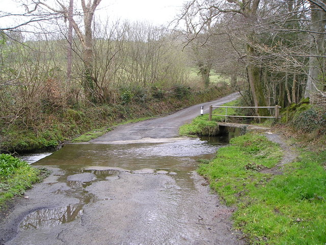
Allt y Clochdy is a popular destination for nature enthusiasts and hikers. There are several well-marked trails that wind through the forest, offering breathtaking views and opportunities to observe the local flora and fauna. The trails cater to different levels of difficulty, making it accessible to both beginners and experienced hikers.

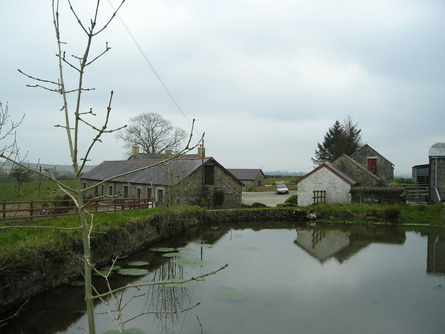
Visitors to Allt y Clochdy can enjoy a peaceful and tranquil retreat in the heart of nature. The forest provides a perfect escape from the hustle and bustle of everyday life, allowing visitors to reconnect with the natural world and appreciate its beauty.

If you have any feedback on the listing, please let us know in the comments section below.

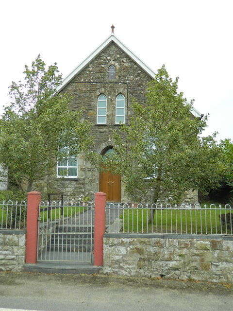
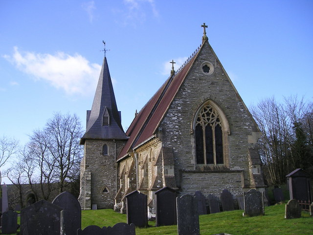
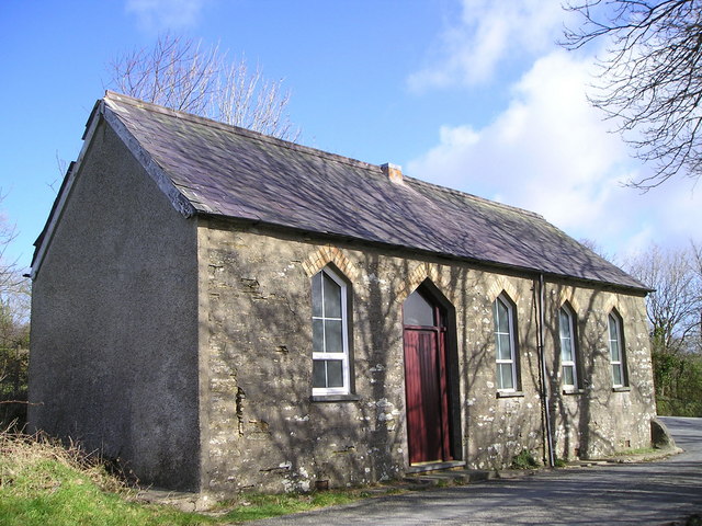
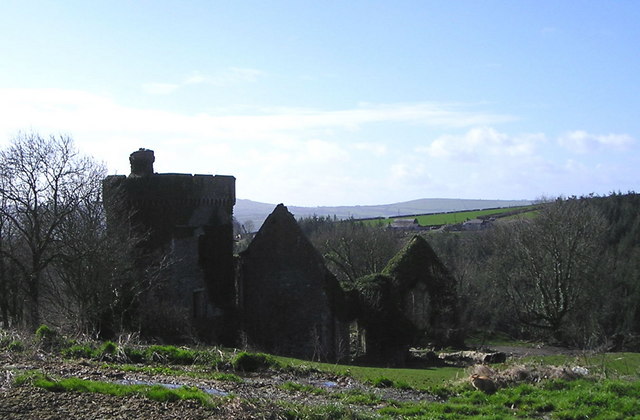
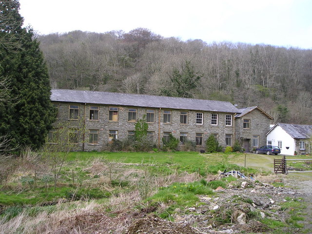
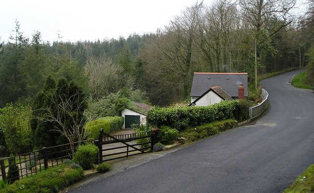
Allt y Clochdy Images

Images are sourced within 2km of 52.075028/-4.3875229 or Grid Reference SN3644. Thanks to Geograph Open Source API. All images are credited.

Sign for Teifi cheese factory
Church of St Cynllo, Llangynllo
Capel Coed-y-bryn
Capel Coed-y-bryn
Llangynllo Church The church of St Cynllo has a broad view southwards towards the Teifi Valley and stands alongside a farm at the end of a dead-end road.
Llangynllo Church
The church of St Cynllo has a broad view southwards towards the Teifi Valley and stands alongside a farm at the end of a dead-end road.
Old Church School
Old Church School
Bronwydd Mansion Never rebuilt after a disastrous fire many years ago.
Bronwydd Mansion
Never rebuilt after a disastrous fire many years ago.
Redirected Bridleway There was a notice lower down explaining that this bridleway had been legaly diverted. I expect the residents of Abernant preferred not to have horses and people coming too close to their house.
This grassy bank seems to be ungrazed with scattered gorse bushes. Where the soil has been moved to create the new bridleway, gorse seedlings have had a chance to get established in a way they could not have done in the undisturbed rough grass.
Redirected Bridleway
There was a notice lower down explaining that this bridleway had been legaly diverted. I expect the residents of Abernant preferred not to have horses and people coming too close to their house. This grassy bank seems to be ungrazed with scattered gorse bushes. Where the soil has been moved to create the new bridleway, gorse seedlings have had a chance to get established in a way they could not have done in the undisturbed rough grass.
Fferm Penbeili-mawr This farm is now used to provide holiday cottages in a very rural location. The actual farmhouse is hidden behind the row of cottages which at one time were probably the old cowshed.
Fferm Penbeili-mawr
This farm is now used to provide holiday cottages in a very rural location. The actual farmhouse is hidden behind the row of cottages which at one time were probably the old cowshed.
Hedge on a Wall Many of the field boundaries in this area are substantial walled banks with hedgerows on top. This one, bounding the track to Ffynnon-wen, is a particularly good example showing the careful construction work that has gone into its creation. Growing among the stones is wall pennywort, a plant so named because of its love of such situations and its circular leaves with their stem in the middle.
Hedge on a Wall
Many of the field boundaries in this area are substantial walled banks with hedgerows on top. This one, bounding the track to Ffynnon-wen, is a particularly good example showing the careful construction work that has gone into its creation. Growing among the stones is wall pennywort, a plant so named because of its love of such situations and its circular leaves with their stem in the middle.
Ford near Maesllyn The water level at this ford is quite low here after several weeks with little rain. It would be difficult for vehicles to negotiate under flood conditions. The footbridge on the right is to enable pedestrians to cross the stream under any weather conditions.
Ford near Maesllyn
The water level at this ford is quite low here after several weeks with little rain. It would be difficult for vehicles to negotiate under flood conditions. The footbridge on the right is to enable pedestrians to cross the stream under any weather conditions.
Maesllyn Mill This is one of many woollen mills in this area that has closed in the last century. The abundant local sheep produced wool and the fast flowing streams drove water wheels to provide energy for the many parts of the production process in these mills. After it closed, this mill became a woollen mill museum and housed many interesting exhibits as well as working machinery. It is now privately owned and no longer open to the public.
Maesllyn Mill
This is one of many woollen mills in this area that has closed in the last century. The abundant local sheep produced wool and the fast flowing streams drove water wheels to provide energy for the many parts of the production process in these mills. After it closed, this mill became a woollen mill museum and housed many interesting exhibits as well as working machinery. It is now privately owned and no longer open to the public.
Cwara Lodge Isolated house beside the B4334 which goes steeply uphill from Aberbanc. A plantation of Norway spruce is visible behind.
Cwara Lodge
Isolated house beside the B4334 which goes steeply uphill from Aberbanc. A plantation of Norway spruce is visible behind.
Show me another place!

Allt y Clochdy is located at Grid Ref: SN3644 (Lat: 52.075028, Lng: -4.3875229)

Unitary Authority: Ceredigion

Police Authority: Dyfed Powys

What 3 Words

///inert.continues.rinse. Near Llandysul, Ceredigion

Related Wikis

Coed-y-bryn

Coed-y-bryn is a small village in the community of Troedyraur, Ceredigion, Wales. Coed-y-bryn is represented in the Senedd by Elin Jones and the Member...

Bronwydd Castle

Bronwydd Castle (or simply Bronwydd) was a Welsh country house in Cardiganshire, owned by the Lloyd family. It is just south of Llangynllo/Llangunllo,...

Croes-lan

Croes-lan is a small village in the community of Troedyraur, Ceredigion, Wales, which is 65.2 miles (104.9 km) from Cardiff and 185.1 miles (297.8 km...

Penrhiwpal

Penrhiwpal (Welsh: Penrhywpâl) is a small village in the community of Troedyraur, Ceredigion, Wales. Penrhiwpal is represented in the Senedd by Elin...

Nearby Amenities

Located within 500m of 52.075028,-4.3875229
Cwmins
Place: hamlet
Lat/Long: 52.0718378/-4.3874619
Ford: yes
Lat/Long: 52.070861/-4.3854344
Maesllyn
Alt Name: Maes llyn
Place: hamlet
Wikidata: Q16282476
Wikipedia: cy:Maesllyn
Lat/Long: 52.0759302/-4.3823609
Direction: SSW
Generator Method: photovoltaic
Generator Output Electricity: yes
Generator Solar Modules: 18
Generator Source: solar
Generator Type: solar_photovoltaic_panel
Location: roof
Power: generator
Lat/Long: 52.0754969/-4.3810987
Direction: 190
Generator Method: photovoltaic
Generator Output Electricity: yes
Generator Solar Modules: 16
Generator Source: solar
Generator Type: solar_photovoltaic_panel
Location: roof
Power: generator
Lat/Long: 52.0754705/-4.3823366
The data included in this document is from www.openstreetmap.org. The data is made available under ODbL.

Have you been to Allt y Clochdy?

Leave your review of Allt y Clochdy below (or comments, questions and feedback).