Garden Wood
Wood, Forest in Cardiganshire
Wales
Garden Wood
Garden Wood is a picturesque forest located in Cardiganshire, Wales. With its lush greenery, towering trees, and diverse flora and fauna, it is a haven for nature enthusiasts and outdoor lovers. Spanning an area of approximately 500 acres, Garden Wood offers visitors a serene and tranquil environment to explore and unwind.
The forest is predominantly composed of deciduous trees, including oak, beech, and ash, which provide a canopy of shade during the summer months. The forest floor is covered with a rich carpet of ferns, mosses, and wildflowers, creating a vibrant and colorful display throughout the year.
Garden Wood is home to a wide variety of wildlife, including deer, foxes, badgers, and numerous bird species. Birdwatchers can spot woodpeckers, thrushes, and owls, among others. The forest also boasts a small lake, which attracts waterfowl such as ducks and herons.
The wood is crisscrossed with a network of walking trails, allowing visitors to fully immerse themselves in the natural beauty of the surroundings. These paths wind through ancient trees, meander alongside babbling brooks, and lead to breathtaking viewpoints, providing ample opportunities for exploration and discovery.
Garden Wood is a popular destination for both locals and tourists seeking a peaceful retreat in nature. It offers a range of recreational activities, including hiking, wildlife spotting, and picnicking. The forest is open year-round and is particularly enchanting during the autumn months when the leaves turn vibrant shades of red, orange, and gold.
Overall, Garden Wood in Cardiganshire is a true gem, providing a haven of tranquility and natural beauty for all who visit.
If you have any feedback on the listing, please let us know in the comments section below.
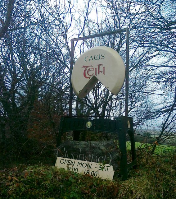
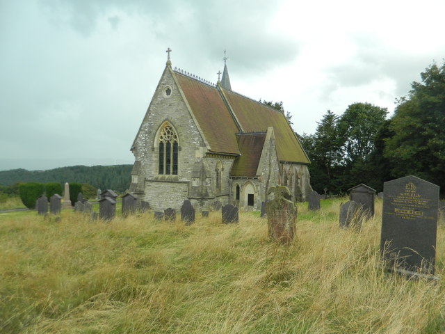
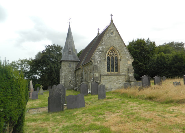
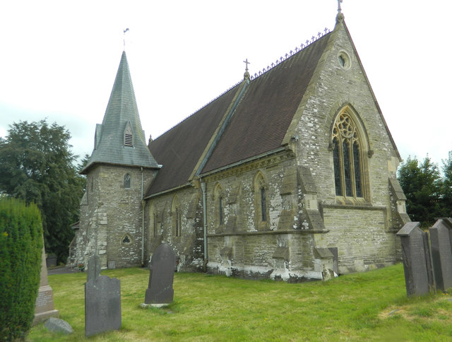
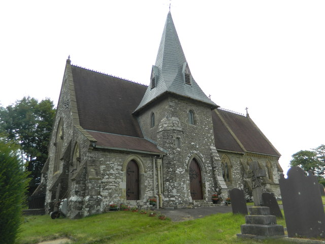
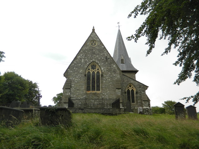
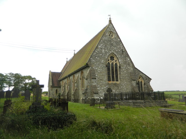
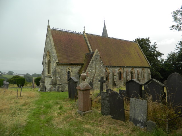
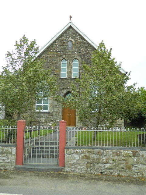
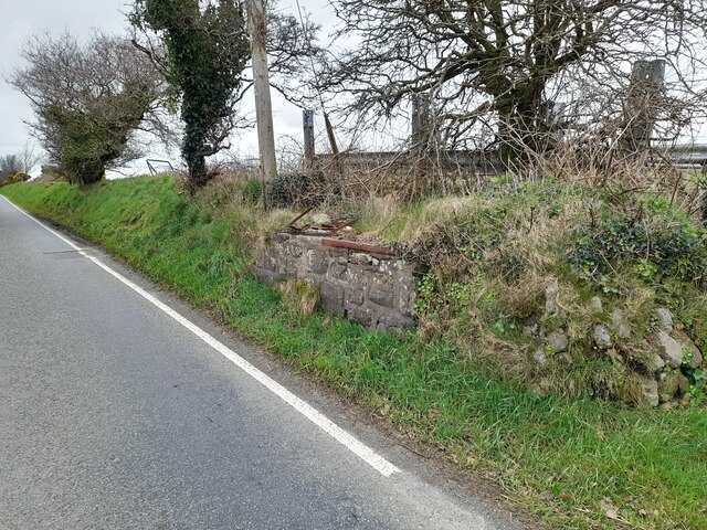
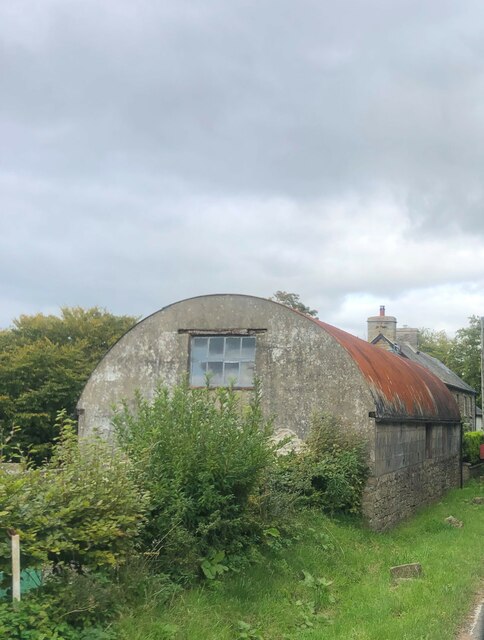
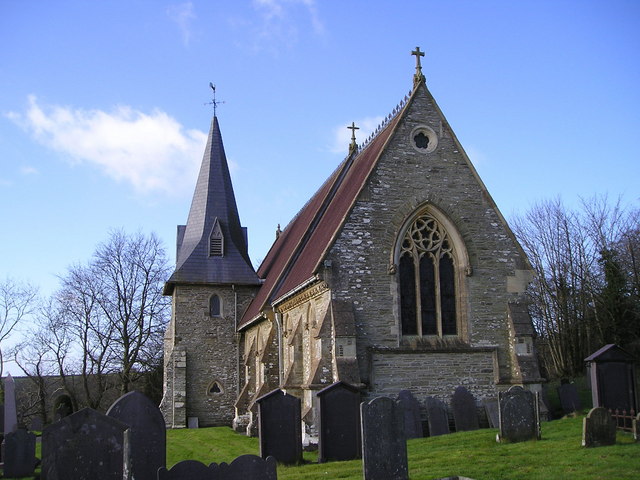
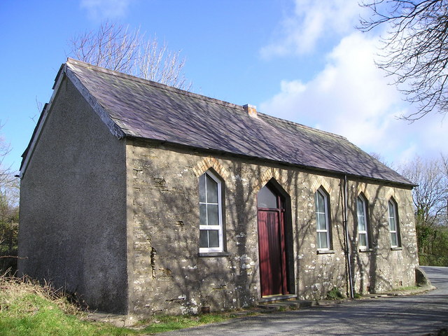
Garden Wood Images
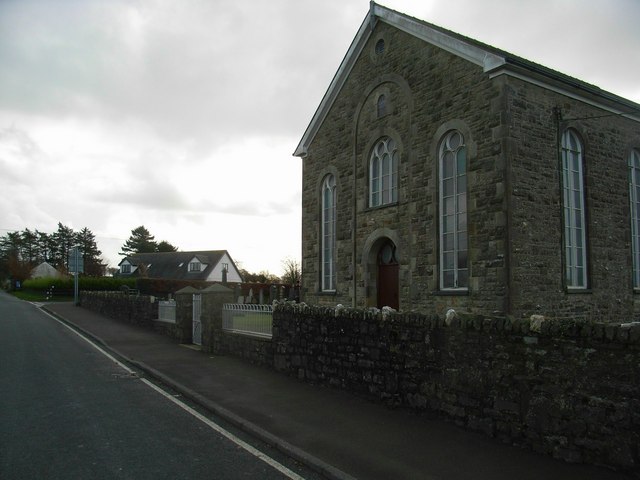
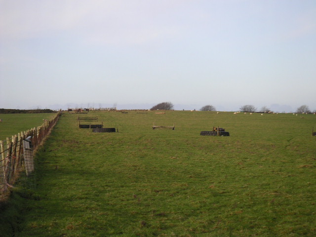
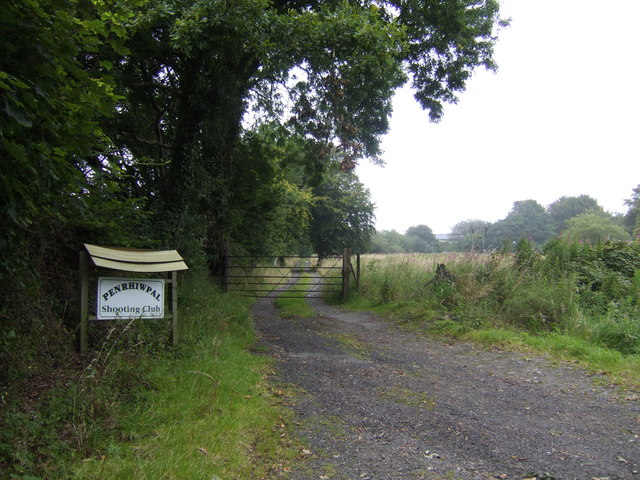
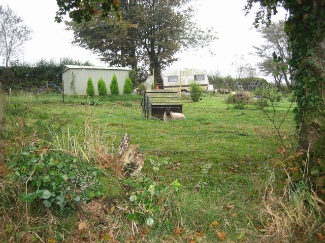
Images are sourced within 2km of 52.078604/-4.3841235 or Grid Reference SN3644. Thanks to Geograph Open Source API. All images are credited.
Garden Wood is located at Grid Ref: SN3644 (Lat: 52.078604, Lng: -4.3841235)
Unitary Authority: Ceredigion
Police Authority: Dyfed Powys
What 3 Words
///salon.nicely.renamed. Near Llandysul, Ceredigion
Related Wikis

Coed-y-bryn
Coed-y-bryn is a small village in the community of Troedyraur, Ceredigion, Wales. Coed-y-bryn is represented in the Senedd by Elin Jones and the Member...

Croes-lan
Croes-lan is a small village in the community of Troedyraur, Ceredigion, Wales, which is 65.2 miles (104.9 km) from Cardiff and 185.1 miles (297.8 km...

Penrhiwpal
Penrhiwpal (Welsh: Penrhywpâl) is a small village in the community of Troedyraur, Ceredigion, Wales. Penrhiwpal is represented in the Senedd by Elin...
Bronwydd Castle
Bronwydd Castle (or simply Bronwydd) was a Welsh country house in Cardiganshire, owned by the Lloyd family. It is just south of Llangynllo/Llangunllo,...
Nearby Amenities
Located within 500m of 52.078604,-4.3841235Have you been to Garden Wood?
Leave your review of Garden Wood below (or comments, questions and feedback).