Clawdd-y-Coed

Wood, Forest in Cardiganshire

Wales

Clawdd-y-Coed

Road junction at Blaen-Cil-Llech
Road junction at Blaen-Cil-Llech Credit: John Firth

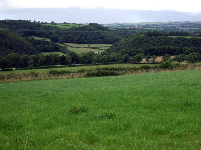
Clawdd-y-Coed, located in the county of Cardiganshire, Wales, is a picturesque village nestled amidst a stunning wooded landscape. The name itself translates to "wood" or "forest," which aptly reflects the natural beauty that surrounds the area. With its lush greenery and serene atmosphere, Clawdd-y-Coed offers residents and visitors a tranquil escape from the hustle and bustle of urban life.

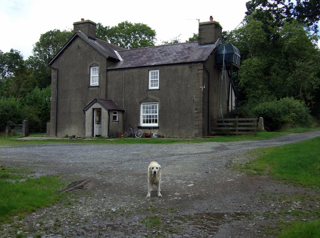
The village is home to a close-knit community that takes pride in preserving its rich history and cultural heritage. Traditional stone cottages, some dating back centuries, can be found dotted throughout the village, adding to its charm and authenticity. The locals are known for their warm hospitality, and visitors can expect to be greeted with a friendly smile and a warm welcome.

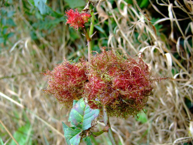
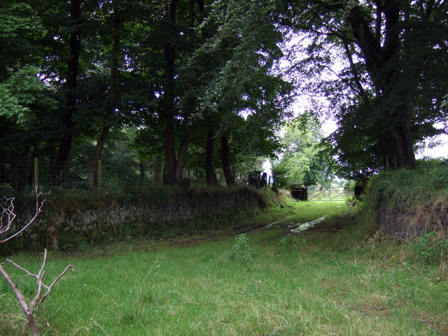
Nature enthusiasts are particularly drawn to Clawdd-y-Coed for its abundant wildlife and diverse flora. The surrounding forest provides a habitat for a wide range of species, including red kites, badgers, and various woodland birds. Walking trails and paths crisscross the area, allowing visitors to explore the woodlands and enjoy the beauty of the natural surroundings.

Despite its secluded location, Clawdd-y-Coed is not far from essential amenities. The neighboring towns offer a range of shops, cafes, and pubs, ensuring that residents have access to everyday conveniences. Additionally, the village is well-connected to major road networks, making it easily accessible for those wishing to explore other parts of Cardiganshire or beyond.

In summary, Clawdd-y-Coed is a charming village in Cardiganshire that boasts a tranquil woodland setting, a rich history, and a welcoming community. Whether seeking a peaceful retreat or an opportunity to immerse oneself in nature, this hidden gem offers an idyllic escape.

If you have any feedback on the listing, please let us know in the comments section below.

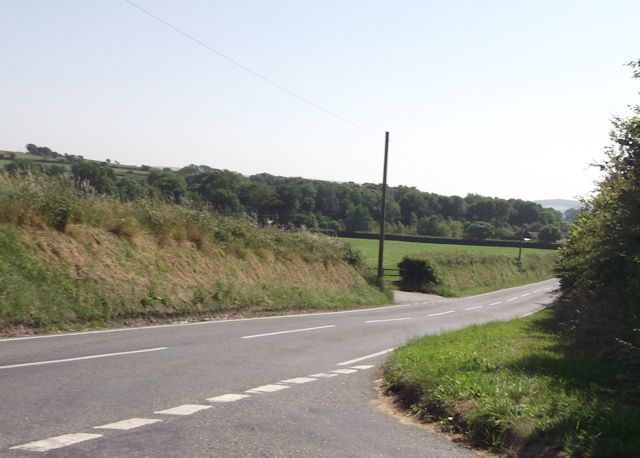
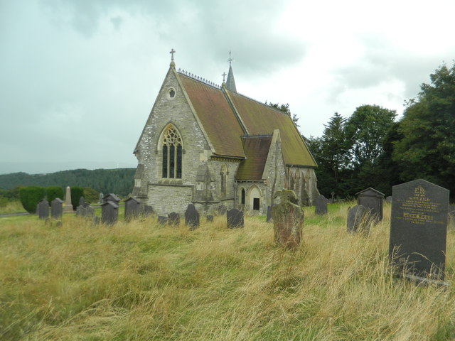
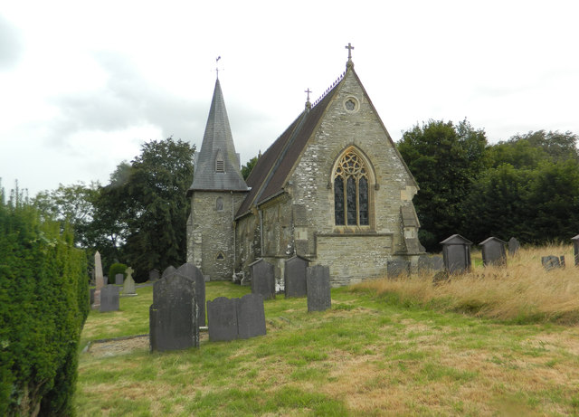
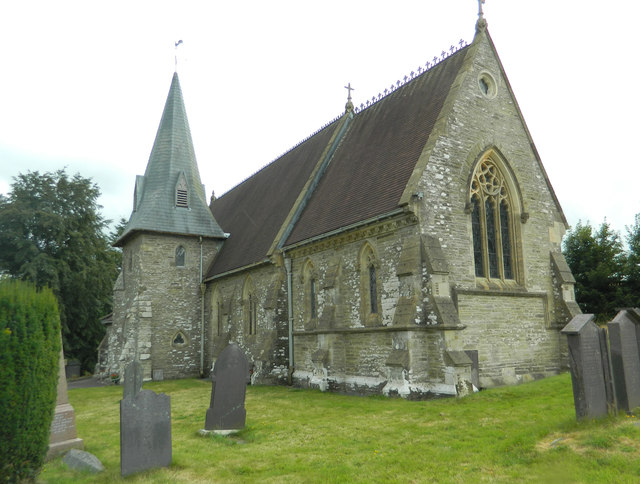
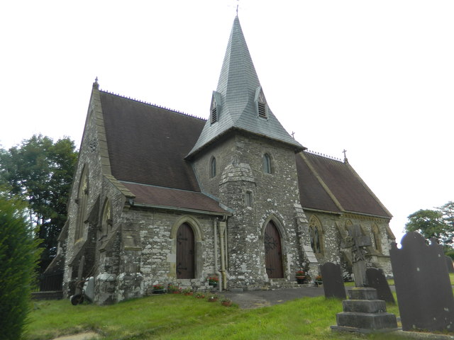
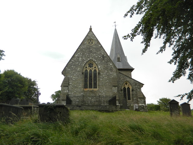
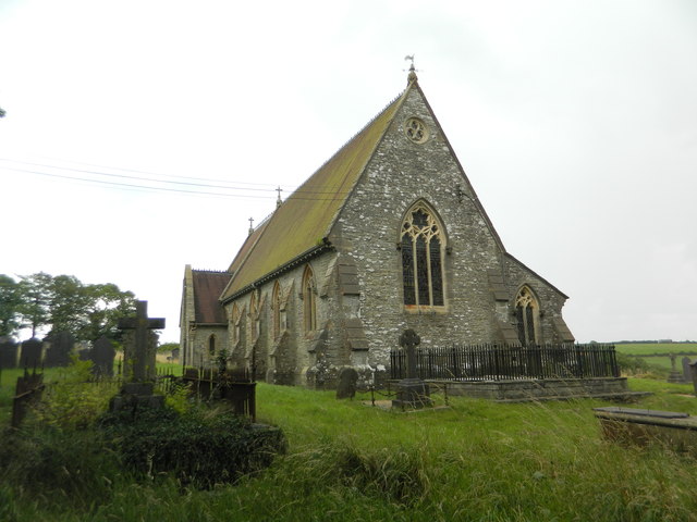
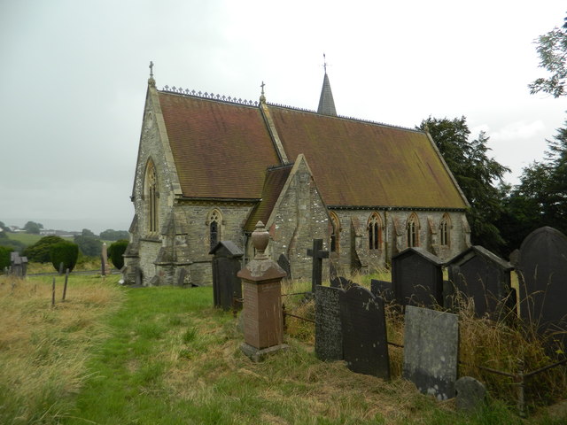
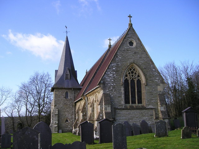
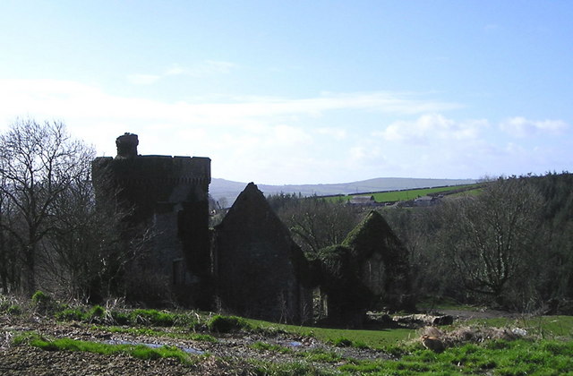
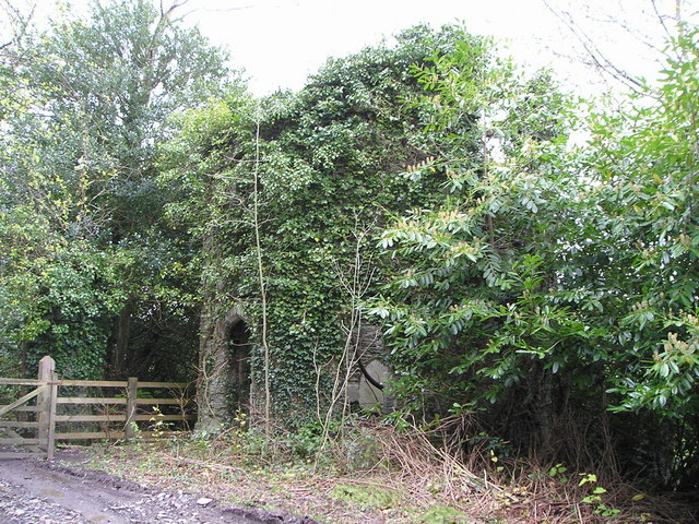
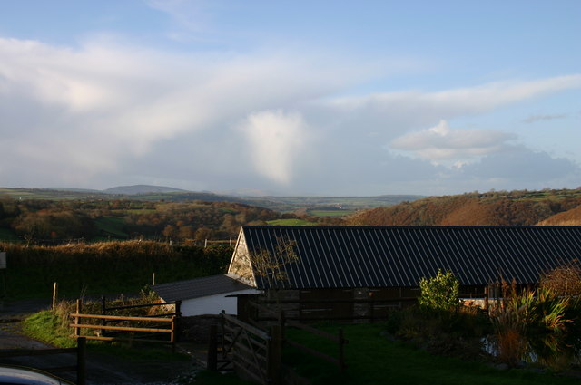
Clawdd-y-Coed Images

Images are sourced within 2km of 52.063692/-4.4291121 or Grid Reference SN3343. Thanks to Geograph Open Source API. All images are credited.

Road junction at Blaen-Cil-Llech
Church of St Cynllo, Llangynllo
Churn Stand There is an Ordnance Survey rivet on the step of the stand. <a title="https://www.geograph.org.uk/photo/7446224" href="https://www.geograph.org.uk/photo/7446224">Link</a>
Churn Stand
There is an Ordnance Survey rivet on the step of the stand. Link
Ordnance Survey Rivet This OS rivet can be found on the step of the churn stand. It marks a point 202.835m above mean sea level. <a title="https://www.geograph.org.uk/photo/7446223" href="https://www.geograph.org.uk/photo/7446223">Link</a>
Ordnance Survey Rivet
This OS rivet can be found on the step of the churn stand. It marks a point 202.835m above mean sea level. Link
Llangynllo Church The church of St Cynllo has a broad view southwards towards the Teifi Valley and stands alongside a farm at the end of a dead-end road.
Llangynllo Church
The church of St Cynllo has a broad view southwards towards the Teifi Valley and stands alongside a farm at the end of a dead-end road.
Bronwydd Mansion Never rebuilt after a disastrous fire many years ago.
Bronwydd Mansion
Never rebuilt after a disastrous fire many years ago.
Gatehouse for Bronwydd Mansion Bronwydd Mansion was destroyed by fire many years ago and this hexagonal gatehouse has been allowed to become derelict, the approach drive to the big house being no longer in use. At one time there would have been large ornate gates and one of the stone pillars that supported these is on the left of the photograph. A modern wooden gate and fence have replaced them.
Gatehouse for Bronwydd Mansion
Bronwydd Mansion was destroyed by fire many years ago and this hexagonal gatehouse has been allowed to become derelict, the approach drive to the big house being no longer in use. At one time there would have been large ornate gates and one of the stone pillars that supported these is on the left of the photograph. A modern wooden gate and fence have replaced them.
Winter's afternoon Distant storm brewing.
Winter's afternoon
Distant storm brewing.
Blaenant Farm at the top of the old carriage road leading down to Llandyfriog.
Blaenant
Farm at the top of the old carriage road leading down to Llandyfriog.
Cwm Ceri to the northeast View towards Cafan Farm and beyond that the upper valley of the Afon Ceri which snakes down towards its confluence with the Teifi at Cwm-cou.
Cwm Ceri to the northeast
View towards Cafan Farm and beyond that the upper valley of the Afon Ceri which snakes down towards its confluence with the Teifi at Cwm-cou.
Rose bedeguar galls An example of the rose gall, more often known as a robin's pincushion. The gall is created by the plant in response to an attack by the larvae of a gall wasp (Diplolepsis rosae) which then live in and feed on the resulting formation until  emergence. In fact a recent study revealed that up to 17 different species had been found to inhabit bedeguars, some being inquilines - that is, larvae that use the gall without having formed it themselves - as well as parasites that feed on the larvae in situ.
For information on the rose gall research project see <span class="nowrap"><a title="http://www.british-galls.org.uk/bedeguar.htm" rel="nofollow ugc noopener" href="http://www.british-galls.org.uk/bedeguar.htm">Link</a><img style="margin-left:2px;" alt="External link" title="External link - shift click to open in new window" src="https://s1.geograph.org.uk/img/external.png" width="10" height="10"/></span>
The bedeguar is not of itself harmful to the plant.
Rose bedeguar galls
An example of the rose gall, more often known as a robin's pincushion. The gall is created by the plant in response to an attack by the larvae of a gall wasp (Diplolepsis rosae) which then live in and feed on the resulting formation until emergence. In fact a recent study revealed that up to 17 different species had been found to inhabit bedeguars, some being inquilines - that is, larvae that use the gall without having formed it themselves - as well as parasites that feed on the larvae in situ. For information on the rose gall research project see LinkExternal link The bedeguar is not of itself harmful to the plant.
Green lane junction South of Blaenant the old carriage road is joined by another leading to/from Old Cilgwyn. A spring rises here, according to the map.
Green lane junction
South of Blaenant the old carriage road is joined by another leading to/from Old Cilgwyn. A spring rises here, according to the map.
Show me another place!

Clawdd-y-Coed is located at Grid Ref: SN3343 (Lat: 52.063692, Lng: -4.4291121)

Unitary Authority: Ceredigion

Police Authority: Dyfed Powys

What 3 Words

///slowly.emperor.spellings. Near Newcastle Emlyn, Ceredigion

Nearby Locations

Clawdd-y-Coed

Related Wikis

Bronwydd Castle

Bronwydd Castle (or simply Bronwydd) was a Welsh country house in Cardiganshire, owned by the Lloyd family. It is just south of Llangynllo/Llangunllo,...

Llandyfriog

Llandyfriog is a community in Ceredigion, Wales. It includes the Adpar part of Newcastle Emlyn and the villages, Bangor Teifi, Trebedw, Bryndioddef-isaf...

Brongest

Brongest is a small village in the community of Troedyraur, Ceredigion, Wales, which is 68.4 miles (110.1 km) from Cardiff and 188.9 miles (303.9 km)...

Llandyfriog transmitting station

The Llandyfriog transmitting station is a broadcasting and telecommunications facility located on high ground several kilometres east of the town of Newcastle...

Berthyfedwen

Berthyfedwen is a small village in the community of Llandyfriog, Ceredigion, Wales, which is 65.8 miles (105.9 km) from Cardiff and 187.1 miles (301 km...

Coed-y-bryn

Coed-y-bryn is a small village in the community of Troedyraur, Ceredigion, Wales. Coed-y-bryn is represented in the Senedd by Elin Jones and the Member...

Aberbanc

Aber-banc is a village in the Welsh county of Ceredigion. Aber-banc is situated on a sharp bend on the A475 approximately 4 miles east of Newcastle Emlyn...

Penrhiwpal

Penrhiwpal (Welsh: Penrhywpâl) is a small village in the community of Troedyraur, Ceredigion, Wales. Penrhiwpal is represented in the Senedd by Elin...

Nearby Amenities

Located within 500m of 52.063692,-4.4291121
Place: farm
Lat/Long: 52.0678663/-4.4269188
Place: farm
Lat/Long: 52.0626425/-4.4279917
Place: farm
Lat/Long: 52.062128/-4.4353302
Generator Method: wind_turbine
Generator Source: wind
Operator: Llwchyrhal-uchaf
Power: generator
Lat/Long: 52.0615459/-4.4337709
Direction: 165
Generator Method: photovoltaic
Generator Output Electricity: yes
Generator Solar Modules: 3
Generator Source: solar
Generator Type: solar_photovoltaic_panel
Location: roof
Power: generator
Lat/Long: 52.0620687/-4.4351989
Direction: 165
Generator Method: photovoltaic
Generator Output Electricity: yes
Generator Solar Modules: 13
Generator Source: solar
Generator Type: solar_photovoltaic_panel
Location: roof
Power: generator
Lat/Long: 52.0620559/-4.4352566
The data included in this document is from www.openstreetmap.org. The data is made available under ODbL.

Have you been to Clawdd-y-Coed?

Leave your review of Clawdd-y-Coed below (or comments, questions and feedback).