Allt Nant-cwm-Rhŷs
Wood, Forest in Carmarthenshire
Wales
Allt Nant-cwm-Rhŷs
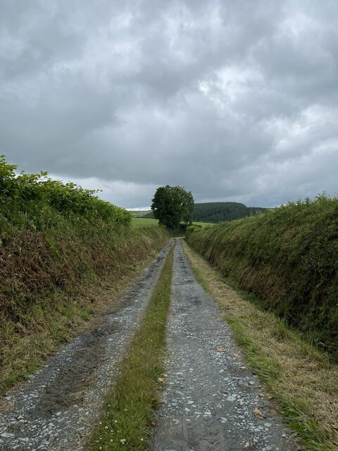
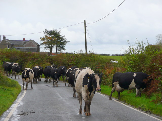
Allt Nant-cwm-Rhŷs is a beautiful wood located in Carmarthenshire, Wales. Spread across an area of approximately 200 acres, this forest is a serene and enchanting natural spot that attracts visitors from near and far.
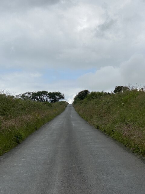
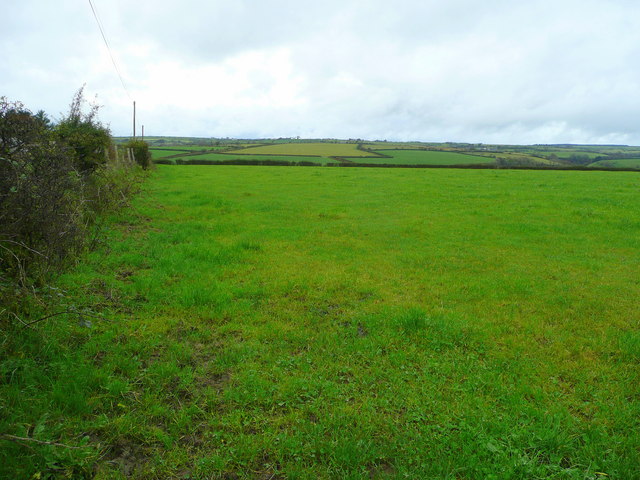
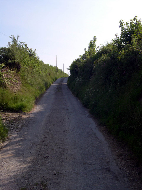
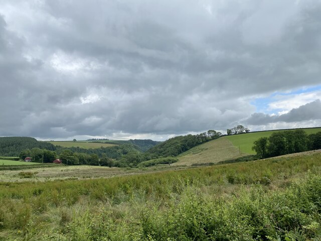
The woodland is situated in the Nant-cwm-Rhŷs valley, which is known for its outstanding natural beauty. As visitors enter the wood, they are greeted by a diverse range of trees, including oak, ash, beech, and birch. The thick canopy formed by these trees creates a peaceful and shady atmosphere, perfect for walking and exploring.
The forest is home to a rich variety of wildlife, making it a haven for nature enthusiasts. Visitors may be lucky enough to spot various bird species, such as woodpeckers, buzzards, and owls. Additionally, the wood is home to a range of small mammals, including foxes, badgers, and squirrels, which can often be seen scurrying through the undergrowth.
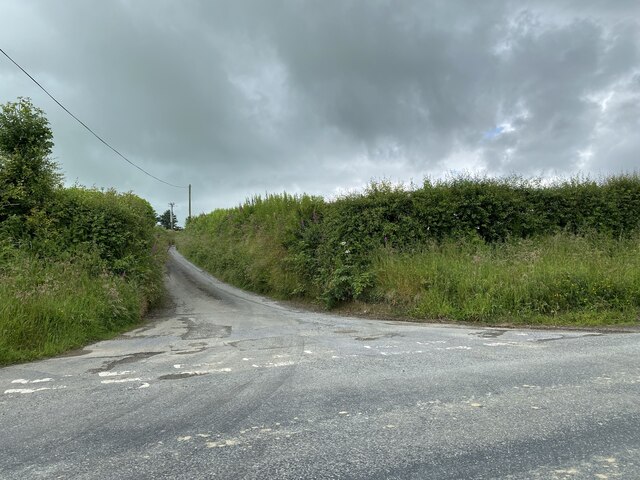
Allt Nant-cwm-Rhŷs offers a network of well-maintained footpaths, allowing visitors to explore the forest at their own pace. These paths wind through the wood, offering stunning views of the surrounding countryside and the meandering river that runs through the valley.
The forest also has picnic areas, providing a perfect spot for visitors to relax and enjoy a meal amidst the tranquil surroundings. In addition, there are designated areas for camping, allowing nature enthusiasts to spend a night under the stars.
Overall, Allt Nant-cwm-Rhŷs is a captivating woodland that offers a peaceful retreat for those seeking to immerse themselves in nature's beauty.
If you have any feedback on the listing, please let us know in the comments section below.
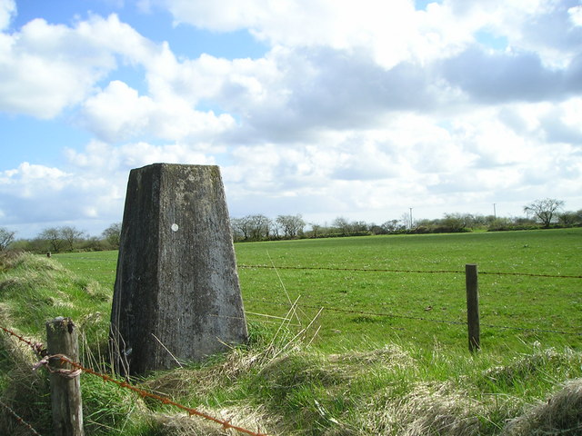
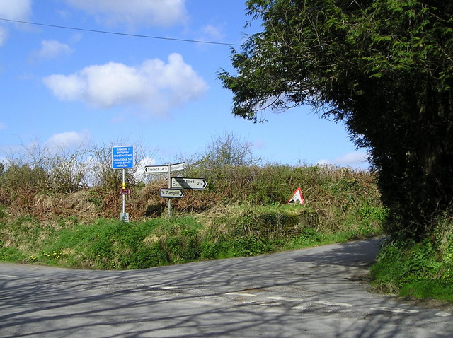
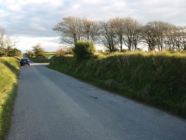
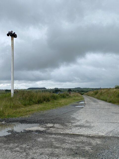
Allt Nant-cwm-Rhŷs Images
Images are sourced within 2km of 51.947588/-4.4216807 or Grid Reference SN3330. Thanks to Geograph Open Source API. All images are credited.


Allt Nant-cwm-Rhŷs is located at Grid Ref: SN3330 (Lat: 51.947588, Lng: -4.4216807)
Unitary Authority: Carmarthenshire
Police Authority: Dyfed Powys
What 3 Words
///empires.townhouse.covenants. Near Trelech, Carmarthenshire
Nearby Locations
Related Wikis

Caeau Nantsais
Caeau Nantsais are two fields next to a that are a Site of Special Scientific Interest in Carmarthen & Dinefwr, Wales. == See also == List of Sites of...

Blaenycoed
Blaenycoed, or Blaen-y-coed is a village situated between Carmarthen and Newcastle Emlyn, Wales, of 17 houses, a Welsh Independents chapel, a postbox and...
Cwmduad
Cwmduad (Welsh "Cwm" valley + "duad" blackness (river Duad, in English Blackcombe)) is a village in Carmarthenshire, West Wales. == Location == Cwmduad...

Cynwyl Elfed
Cynwyl Elfed (; sometimes Conwyl and formerly anglicised as Conwil Elvet or Conwil in Elvet) is a village and community in the county of Carmarthenshire...
Cynwyl Elfed transmitting station
The Cynwyl Elfed television relay station is sited on high ground to the east of the village of Cynwyl Elfed to the north of Carmarthen. It was originally...

Talog, Carmarthenshire
Talog is a small rural village in Carmarthenshire, Wales, located on the River Cywyn, about seven miles north-west of the town of Carmarthen. It is in...

Trelech
Trelech (Welsh: Tre-lech) is a village in the parish of Tre-lech a'r Betws, Carmarthenshire, in south-west Wales. It is also the name of the community...

De Noord (Rotterdam)
De Noord (English: The North) was a tower mill located on the Oostplein in Rotterdam, Netherlands. It was built between 1695 and 1711 as a replacement...
Have you been to Allt Nant-cwm-Rhŷs?
Leave your review of Allt Nant-cwm-Rhŷs below (or comments, questions and feedback).