Allt y Ricet

Wood, Forest in Carmarthenshire

Wales

Allt y Ricet

Cwmllyfri Farm Some 50 years ago, Welsh artist, Stanley Lewis, painted this very scene entitled 'Welsh Hill Farm, Cwmllyfri' (Carmarthen Museum Art Collection)
Cwmllyfri Farm Credit: Gethin Evans

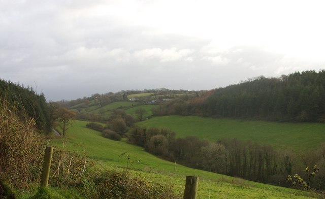
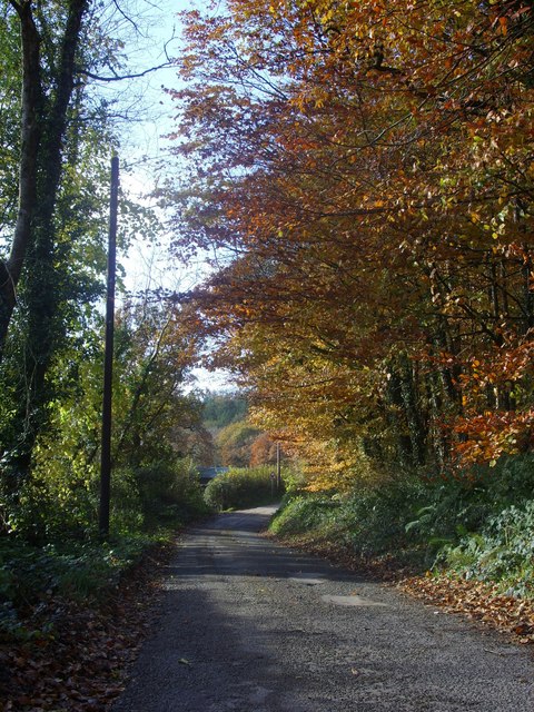
Allt y Ricet is a picturesque woodland located in Carmarthenshire, Wales. Nestled in the rolling hills of the county, this forest is a haven for nature enthusiasts and outdoor lovers. The woodland stretches over an area of approximately 100 hectares, providing ample space for exploration and tranquility.

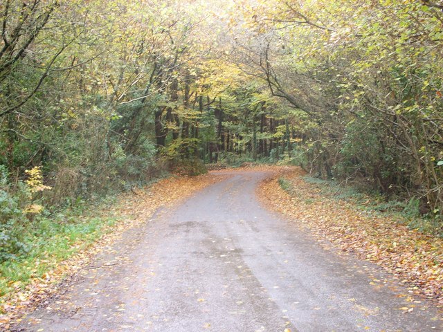
The forest is characterized by a diverse range of tree species, including oak, beech, and birch, creating a rich and vibrant ecosystem. This variety of trees supports a wide array of wildlife, with birds such as the red kite and buzzard frequently spotted soaring above the treetops. In addition to avian species, the forest is home to mammals such as badgers and deer, adding to the natural beauty of the area.

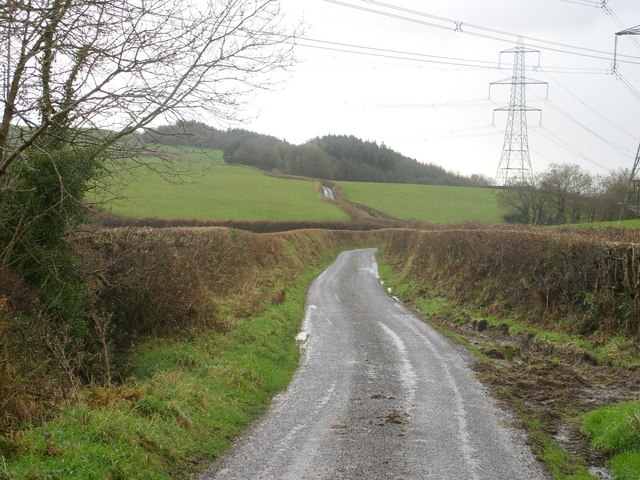
Visitors to Allt y Ricet can enjoy a range of activities, from leisurely walks to more adventurous hikes. There are numerous trails winding through the woodland, allowing visitors to immerse themselves in the peaceful surroundings and discover hidden gems along the way. The forest also offers opportunities for bird watching and nature photography, with designated areas providing ideal vantage points.

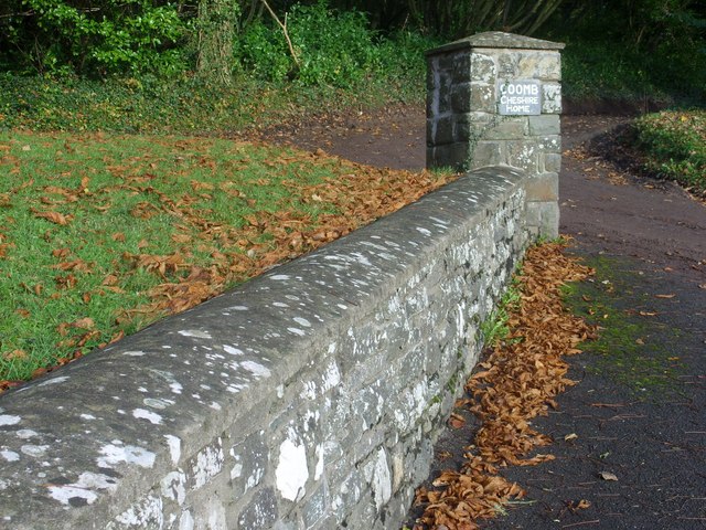
Allt y Ricet is well-maintained, with clear pathways and signposts throughout the forest. There are also picnic areas and benches scattered around, providing a perfect spot for visitors to rest and take in the breathtaking views. The woodland is easily accessible by both car and foot, with parking facilities available nearby.

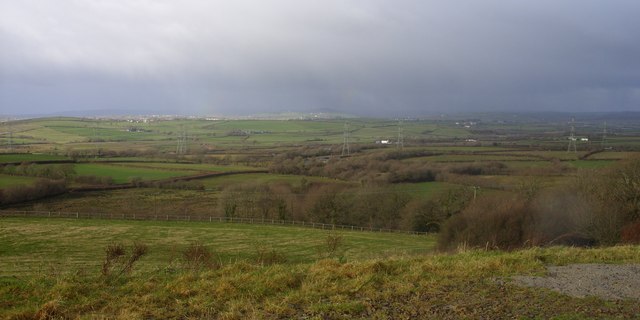
In conclusion, Allt y Ricet is a stunning woodland in Carmarthenshire, boasting a diverse range of flora and fauna. With its tranquil atmosphere and beautiful scenery, it offers a delightful escape from the hustle and bustle of everyday life.

If you have any feedback on the listing, please let us know in the comments section below.
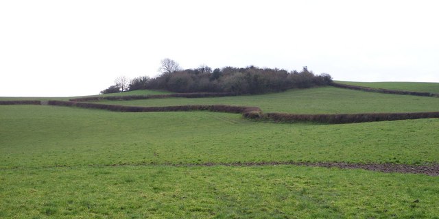
Allt y Ricet Images

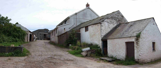
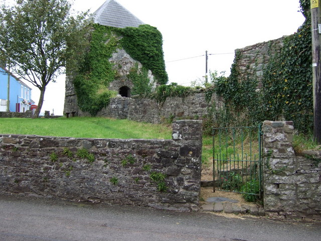
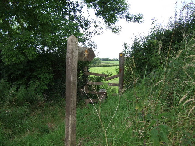
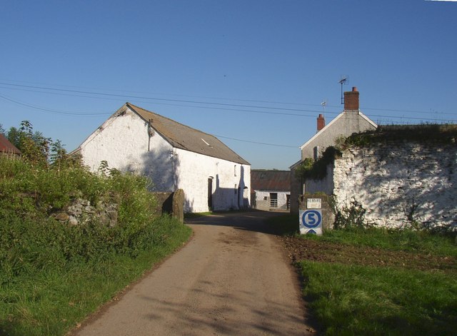
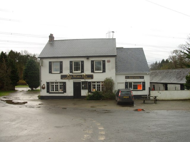
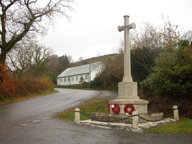
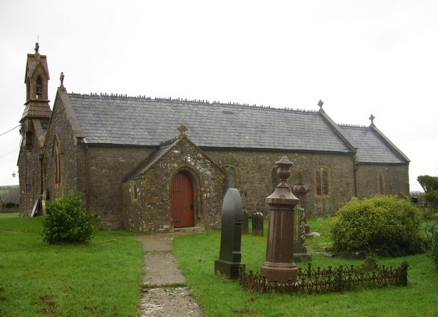
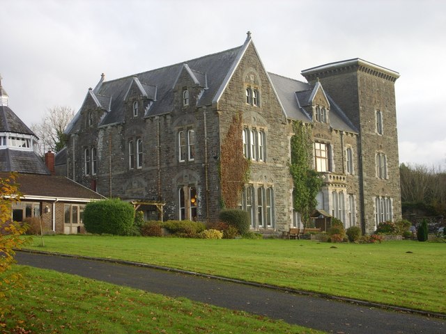
Images are sourced within 2km of 51.796479/-4.416589 or Grid Reference SN3313. Thanks to Geograph Open Source API. All images are credited.

Cwmllyfri Farm Some 50 years ago, Welsh artist, Stanley Lewis, painted this very scene entitled 'Welsh Hill Farm, Cwmllyfri' (Carmarthen Museum Art Collection)
Cwmllyfri Farm
Some 50 years ago, Welsh artist, Stanley Lewis, painted this very scene entitled 'Welsh Hill Farm, Cwmllyfri' (Carmarthen Museum Art Collection)
Hen Gapel, Llanybri The ruins of Old Chapel in the village of Llanybri. An ancient church, last used as a Nonconformist chapel for over 200 years until 1960.
Hen Gapel, Llanybri
The ruins of Old Chapel in the village of Llanybri. An ancient church, last used as a Nonconformist chapel for over 200 years until 1960.
Stile near Maen Melyn
Hendre, Llansteffan Here the road goes through a farmyard, hence the home-made speed limit sign.
Hendre, Llansteffan
Here the road goes through a farmyard, hence the home-made speed limit sign.
The tower of the old chapel, Llanybri, Llansteffan This is a low tower with thick walls. An interesting feature is the clock, carved in stone where a real clock might be.
The tower of the old chapel, Llanybri, Llansteffan
This is a low tower with thick walls. An interesting feature is the clock, carved in stone where a real clock might be.
Lane between Llangynog and Llanybri The road between Llangynog and Llanybri near the former Coombe Cheshire Home.
Lane between Llangynog and Llanybri
The road between Llangynog and Llanybri near the former Coombe Cheshire Home.
Morning mist over Allt y Ricet
A view over the Taf estuary
The Wern Inn, Llangynog The inn as it was in 2008 before being gutted by fire in 2010, see:<a href="https://www.geograph.org.uk/photo/3405836">SN3315 : A sad sight...</a>
The Wern Inn, Llangynog
The inn as it was in 2008 before being gutted by fire in 2010, see:SN3315 : A sad sight...
The War Memorial and village hall, Llangynog See <a title="https://www.geograph.org.uk/photo/1201705" href="https://www.geograph.org.uk/photo/1201705">Link</a> for names commemorated on the memorial.
The War Memorial and village hall, Llangynog
See Link for names commemorated on the memorial.
The church of St.Cynog, Llangynog <span class="nowrap"><a title="http://www.genuki.org.uk/big/wal/CMN/Llangynog/" rel="nofollow ugc noopener" href="http://www.genuki.org.uk/big/wal/CMN/Llangynog/">Link</a><img style="margin-left:2px;" alt="External link" title="External link - shift click to open in new window" src="https://s1.geograph.org.uk/img/external.png" width="10" height="10"/></span>
The church of St.Cynog, Llangynog
Coomb Cheshire Home Cwm (Coomb) <span class="nowrap"><a title="http://carmarthenshirehistorian.org/cgi-bin/twiki/view/Historian/CwmCoombACarmarthenshireHouseAndItsFamilies" rel="nofollow ugc noopener" href="http://carmarthenshirehistorian.org/cgi-bin/twiki/view/Historian/CwmCoombACarmarthenshireHouseAndItsFamilies">Link</a><img style="margin-left:2px;" alt="External link" title="External link - shift click to open in new window" src="https://s1.geograph.org.uk/img/external.png" width="10" height="10"/></span> , between Llangynog and Llanybri. At the time that this photo was taken it was a Leonard Cheshire residential care home <span class="nowrap"><a title="http://www.lcdisability.org/" rel="nofollow ugc noopener" href="http://www.lcdisability.org/">Link</a><img style="margin-left:2px;" alt="External link" title="External link - shift click to open in new window" src="https://s1.geograph.org.uk/img/external.png" width="10" height="10"/></span> . It is soon to be re-developed for residential flats and housing now that the care home has re-located to new purpose built facilities in Carmarthen.
Coomb Cheshire Home
Cwm (Coomb) LinkExternal link , between Llangynog and Llanybri. At the time that this photo was taken it was a Leonard Cheshire residential care home LinkExternal link . It is soon to be re-developed for residential flats and housing now that the care home has re-located to new purpose built facilities in Carmarthen.
Valley View Looking towards Dre-fach farm from the entrance to Coomb Cheshire with Allt y Brain (woods) to the right.
Valley View
Looking towards Dre-fach farm from the entrance to Coomb Cheshire with Allt y Brain (woods) to the right.
Stone Wall Stone wall and sign at the eastern entrance to Coomb Cheshire Home.
Stone Wall
Stone wall and sign at the eastern entrance to Coomb Cheshire Home.
Lane and Pylons Lane heading south towards Ally y Gelli under the National Grid pylons that traverse the countryside.
Lane and Pylons
Lane heading south towards Ally y Gelli under the National Grid pylons that traverse the countryside.
Countryside A view across the Carmarthenshire countryside towards St Clears with rain on the distant hills.
Countryside
A view across the Carmarthenshire countryside towards St Clears with rain on the distant hills.
Lane towards Coomb Mill Lane towards Coomb Mill (farm) with Coed Hendre (Hendre Woods) just visible in the distance.
Lane towards Coomb Mill
Lane towards Coomb Mill (farm) with Coed Hendre (Hendre Woods) just visible in the distance.
The site of Castell Cogan The bushes on the hilltop form the northern edge of the former Iron Age hill fort of Castell Cogan.
The site of Castell Cogan
The bushes on the hilltop form the northern edge of the former Iron Age hill fort of Castell Cogan.
Show me another place!

Allt y Ricet is located at Grid Ref: SN3313 (Lat: 51.796479, Lng: -4.416589)

Unitary Authority: Carmarthenshire

Police Authority: Dyfed Powys

What 3 Words

///prestige.orbited.crumbles. Near Llangynog, Carmarthenshire

Related Wikis

Coed Cochion Quarry

Coed Cochion Quarry is a Site of Special Scientific Interest (SSSI) in Carmarthenshire, Wales, in which the geology of the site has preserved rare Precambrian...

Yr Hen Gapel, Llanybri

Yr Hen Gapel (Welsh for The Old Chapel) is a now ruined religious building and scheduled ancient monument in the village of Llanybri, Carmarthenshire,...

Llanybri

Llanybri is a rural farming village situated between the estuaries of the River Tywi and River Taf in Carmarthenshire, Wales. It is one of two villages...

River Cywyn

The River Cywyn (Welsh: Afon Cywyn) is a river that flows through Carmarthenshire, south Wales. It rises some seven miles west-north-west of Carmarthen...

Llangynog, Carmarthenshire

Llangynog is a village and community located in Carmarthenshire, Wales, the main settlement of which was once called ‘Ebenezer’village. It is bordered...

Plas Llanstephan

Plas Llanstephan is a mansion in the county of Carmarthenshire, Wales. It is set well back from the public road among pasture fields and is reached by...

Beacon Bog

Beacon Bog is a Site of Special Scientific Interest in the community of Llangynog in Carmarthenshire, Wales. == Description == Beacon Bog is a small lowland...

Llansteffan

Llansteffan, is a village and community situated on the south coast of Carmarthenshire, Wales, lying on the estuary of the River Tywi, 7 miles (11 km)...

Nearby Amenities

Located within 500m of 51.796479,-4.416589
Give Way
Direction: forward
Lat/Long: 51.7981161/-4.4177163
Give Way
Direction: backward
Lat/Long: 51.7981829/-4.4176195
The data included in this document is from www.openstreetmap.org. The data is made available under ODbL.

Have you been to Allt y Ricet?

Leave your review of Allt y Ricet below (or comments, questions and feedback).