Allt Goch

Wood, Forest in Cardiganshire

Wales

Allt Goch

Carreg Bica From the headland coastal path
Carreg Bica Credit: Kevin Waterhouse

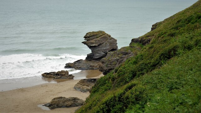
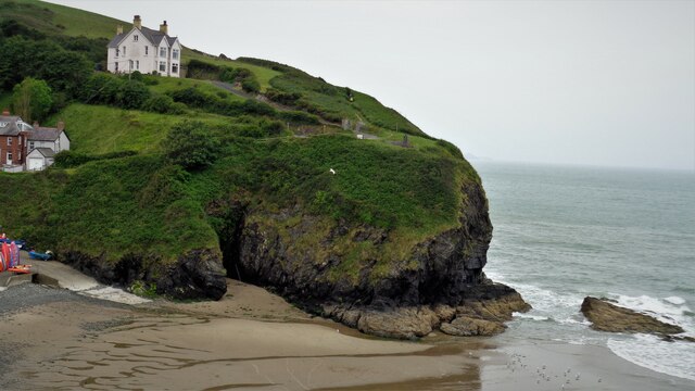
Allt Goch is a picturesque woodland located in Cardiganshire, Wales. Situated near the village of Tregaron, it covers an area of approximately 200 acres. The name "Allt Goch" translates to "red cliff" in Welsh, which is derived from the reddish hue of the sandstone cliffs that can be found within the forest.

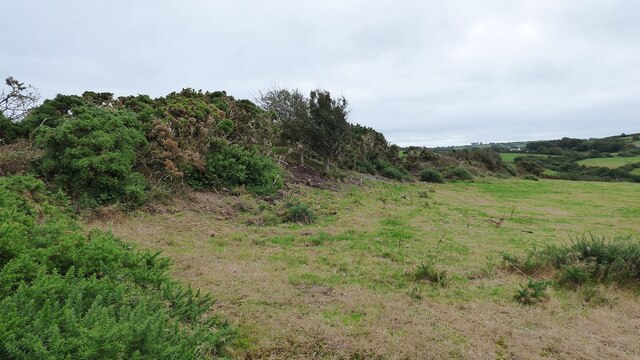
The woodland is predominantly composed of mixed deciduous trees, including oak, beech, ash, and birch. These trees create a vibrant and diverse ecosystem, providing habitat for a wide range of flora and fauna. The forest floor is adorned with a carpet of bluebells during the spring season, creating a stunning display of color.

Allt Goch is a popular destination for nature enthusiasts and hikers due to its extensive network of well-maintained trails. These trails offer visitors the opportunity to explore the woodland and discover its hidden gems, such as an ancient stone circle and a small waterfall.

The forest is also home to a variety of wildlife, including red kites, buzzards, badgers, and foxes. Birdwatchers can spot a plethora of avian species, from woodpeckers to warblers, while the lucky visitor may even catch a glimpse of the elusive red squirrel.

Allt Goch is a place of tranquility and natural beauty, offering visitors a chance to escape the hustle and bustle of everyday life and immerse themselves in the wonders of the Welsh countryside. Whether it's a leisurely stroll through the woods or a more vigorous hike, Allt Goch provides a serene and enchanting experience for all who visit.

If you have any feedback on the listing, please let us know in the comments section below.
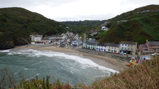
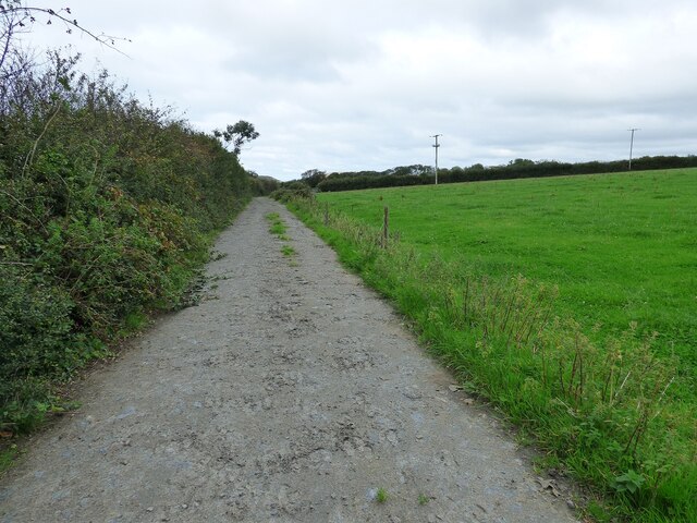
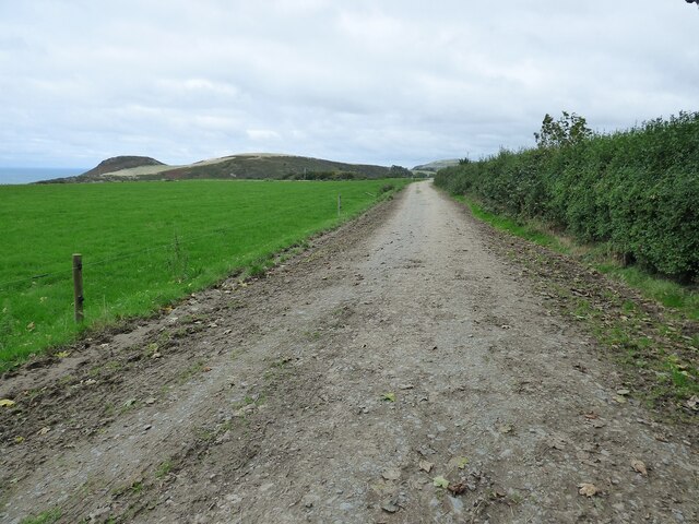
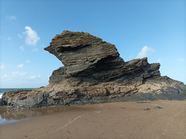
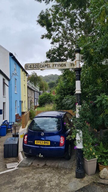
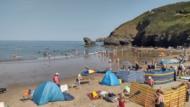
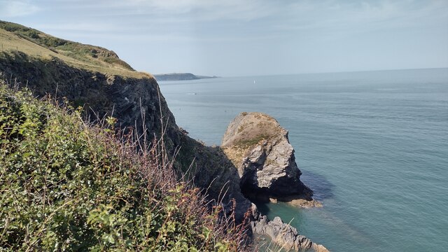
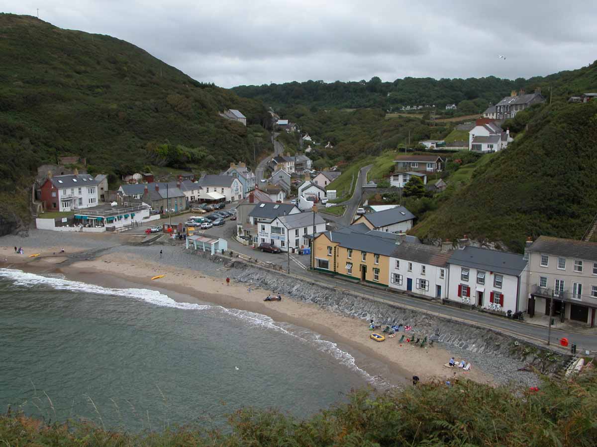
Allt Goch Images

Images are sourced within 2km of 52.159362/-4.4586943 or Grid Reference SN3154. Thanks to Geograph Open Source API. All images are credited.

Carreg Bica From the headland coastal path
Carreg Bica
From the headland coastal path
The West Headland View across the small bay. The west headland has a statue of St Carannog above the cliff
The West Headland
View across the small bay. The west headland has a statue of St Carannog above the cliff
Southern rampart of Castell Bach Promontory Fort <span class="nowrap"><a title="https://coflein.gov.uk/en/site/93914/" rel="nofollow ugc noopener" href="https://coflein.gov.uk/en/site/93914/">Link</a><img style="margin-left:2px;" alt="External link" title="External link - shift click to open in new window" src="https://s1.geograph.org.uk/img/external.png" width="10" height="10"/></span>
Southern rampart of Castell Bach Promontory Fort
Lime Kiln at Llangrannog
Llangrannog Village View from the cliff south of the village.
Llangrannog Village
View from the cliff south of the village.
Footpath leading towards Eisteddfa
Footpath leading north from Eisteddfa
Llangrannog Village View from hill to the north of the village.
Llangrannog Village
View from hill to the north of the village.
Ynys-Lochtyn Island and Promontory Fort The fort overlooks the small tidal island and has a single rampart and ditch on the landward side <span class="nowrap"><a title="https://coflein.gov.uk/en/site/408279/" rel="nofollow ugc noopener" href="https://coflein.gov.uk/en/site/408279/">Link</a><img style="margin-left:2px;" alt="External link" title="External link - shift click to open in new window" src="https://s1.geograph.org.uk/img/external.png" width="10" height="10"/></span>
Ynys-Lochtyn Island and Promontory Fort
The fort overlooks the small tidal island and has a single rampart and ditch on the landward side LinkExternal link
Pendinaslochdyn Iron Age Hillfort <span class="nowrap"><a title="https://www.megalithic.co.uk/article.php?sid=17596" rel="nofollow ugc noopener" href="https://www.megalithic.co.uk/article.php?sid=17596">Link</a><img style="margin-left:2px;" alt="External link" title="External link - shift click to open in new window" src="https://s1.geograph.org.uk/img/external.png" width="10" height="10"/></span>
Pendinaslochdyn Iron Age Hillfort
Llangrannog Dry Ski Slope Not really the sort of thing you expect to see when walking along a coastal path.
Llangrannog Dry Ski Slope
Not really the sort of thing you expect to see when walking along a coastal path.
Rocks in the Sea Perfect spot for sea birds to rest between feeds.
Rocks in the Sea
Perfect spot for sea birds to rest between feeds.
Rock formation in Llangrannog An interesting formation of rocks on the beach in Llangrannog.
Rock formation in Llangrannog
An interesting formation of rocks on the beach in Llangrannog.
Direction Sign – Signpost on the B4321 in Pontgarreg Located in Pontgarreg, on the southeast of the junction on the B4321 near the bridge over Nant Hawen. Llangrannog community. 3 arms, 1 missing, and ogee finial. 

Milestone Society National ID: CRD_SN3354
Direction Sign – Signpost on the B4321 in Pontgarreg
Located in Pontgarreg, on the southeast of the junction on the B4321 near the bridge over Nant Hawen. Llangrannog community. 3 arms, 1 missing, and ogee finial. Milestone Society National ID: CRD_SN3354
Direction Sign – Signpost on the B4321 Located on the south of the junction on the B4321 and the minor road to Llwyndafydd. Llangrannog community. 3 arms and ogee finial. 

Milestone Society National ID: CRD_SN3254
Direction Sign – Signpost on the B4321
Located on the south of the junction on the B4321 and the minor road to Llwyndafydd. Llangrannog community. 3 arms and ogee finial. Milestone Society National ID: CRD_SN3254
Direction Sign – Signpost on the B4321 in Llangrannog Located on the southeast of the junction of the B4321 and the B4334 near the bridge over Nant Hawen. Llangrannog community. 2 arms and ogee finial. 

Milestone Society National ID: CRD_SN3154
Direction Sign – Signpost on the B4321 in Llangrannog
Located on the southeast of the junction of the B4321 and the B4334 near the bridge over Nant Hawen. Llangrannog community. 2 arms and ogee finial. Milestone Society National ID: CRD_SN3154
Llangrannog Beach A busy Llangrannog beach
Llangrannog Beach
A busy Llangrannog beach
Carreg Dol-y-Fran. From the coast path looking to Carreg Dol-y -Fran
Carreg Dol-y-Fran.
From the coast path looking to Carreg Dol-y -Fran
Show me another place!

Allt Goch is located at Grid Ref: SN3154 (Lat: 52.159362, Lng: -4.4586943)

Unitary Authority: Ceredigion

Police Authority: Dyfed Powys

What 3 Words

///repayment.unroll.tangling. Near Aberporth, Ceredigion

Related Wikis

Llangrannog

Llangrannog (Welsh pronunciation: [ɬanˈgranɔg]; sometimes spelt as Llangranog) is both a village and a community in Ceredigion, Wales, 6 miles (10 km...

Pigeon's Ford

Pigeon's Ford is a hamlet in the community of Llangrannog, Ceredigion, Wales, which is 71.8 miles (115.5 km) from Cardiff and 189.9 miles (305.5 km) from...

River Hawen

The River Hawen (Welsh pronunciation: [ˈhau̯ɛn]) (Welsh: Nant Hawen) is the main stream that flows through Llangrannog, Ceredigion, Wales into Cardigan...

Penmorfa

Penmorfa is the name of two villages in Wales. One is a small village in the community of Penbryn, Ceredigion, Wales. Penmorfa is represented in the Senedd...

Nearby Amenities

Located within 500m of 52.159362,-4.4586943
Waterway: waterfall
Lat/Long: 52.1588341/-4.4643826
Stop
Direction: backward
Lat/Long: 52.1587287/-4.4631512
Post Box
Post Box Type: wall
Royal Cypher: GR
Royal Cypher Wikidata: Q33102273
Lat/Long: 52.158962/-4.4655068
Barrier: stile
Foot: yes
Source: survey
Lat/Long: 52.1612356/-4.4652705
Barrier: stile
Foot: yes
Source: survey
Lat/Long: 52.1611595/-4.456191
Post Box
Post Box Mounting: brick_pillar
Post Box Type: wall
Lat/Long: 52.1584789/-4.4630638
Telephone
Booth: KX100
Covered: booth
Lat/Long: 52.1581317/-4.4630677
Pen Llangrannog
Ele: 167
Name Cy: Pen Llangrannog
Natural: peak
Wikidata: Q106711138
Lat/Long: 52.163481/-4.4592933
Direction: S
Generator Method: photovoltaic
Generator Output Electricity: yes
Generator Solar Modules: 7
Generator Source: solar
Generator Type: solar_photovoltaic_panel
Location: roof
Power: generator
Lat/Long: 52.1607795/-4.4541816
Direction: S
Generator Method: photovoltaic
Generator Output Electricity: yes
Generator Solar Modules: 7
Generator Source: solar
Generator Type: solar_photovoltaic_panel
Location: roof
Power: generator
Lat/Long: 52.1607812/-4.4543016
Direction: 195
Generator Method: photovoltaic
Generator Output Electricity: yes
Generator Solar Modules: 12
Generator Source: solar
Generator Type: solar_photovoltaic_panel
Location: roof
Power: generator
Lat/Long: 52.1589161/-4.465536
Direction: 195
Generator Method: photovoltaic
Generator Output Electricity: yes
Generator Solar Modules: 9
Generator Source: solar
Generator Type: solar_photovoltaic_panel
Location: roof
Power: generator
Lat/Long: 52.1588951/-4.4654093
Direction: 195
Generator Method: photovoltaic
Generator Output Electricity: yes
Generator Solar Modules: 15
Generator Source: solar
Generator Type: solar_photovoltaic_panel
Location: roof
Power: generator
Lat/Long: 52.1588634/-4.4652075
Recycling
Recycling Glass Bottles: yes
Recycling Type: container
Lat/Long: 52.1570757/-4.4625955
The data included in this document is from www.openstreetmap.org. The data is made available under ODbL.

Have you been to Allt Goch?

Leave your review of Allt Goch below (or comments, questions and feedback).