Allt Gudd
Wood, Forest in Cardiganshire
Wales
Allt Gudd
Allt Gudd, located in Cardiganshire, is a beautiful wood and forest area that stretches over a considerable expanse. This enchanting location is situated in the western region of Wales and is renowned for its captivating natural scenery and diverse wildlife.
Allt Gudd is characterized by its lush greenery, with dense vegetation covering the rolling hills and valleys. The wood is predominantly composed of deciduous trees, such as oak, beech, and birch, which showcase a stunning display of colors during the autumn season. Additionally, the forest is home to a variety of plant species, including bluebells, ferns, and mosses, creating a vibrant and picturesque landscape.
The woodlands of Allt Gudd provide a haven for a wide range of wildlife species. It is a sanctuary for numerous bird species, including woodpeckers, owls, and songbirds, which can be heard chirping and singing throughout the day. The forest is also home to mammals such as deer, badgers, and foxes, which can occasionally be spotted by lucky visitors.
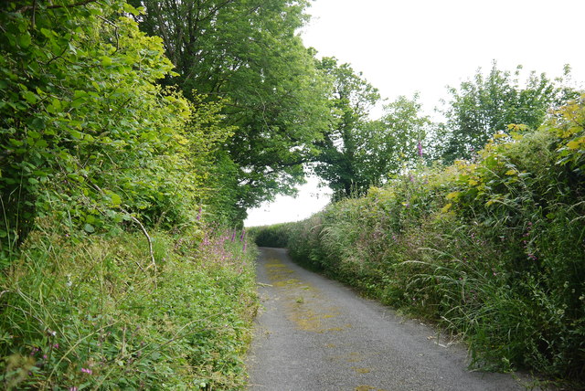
For nature enthusiasts, Allt Gudd offers an array of walking trails and paths, allowing visitors to explore the woodlands at their own pace. These paths meander through the forest, leading to breathtaking viewpoints and secluded areas where one can enjoy the tranquility of nature. The wood is also a popular spot for birdwatching and photography, attracting nature lovers from far and wide.
Allt Gudd is a remarkable destination for those seeking a peaceful retreat amidst the beauty of nature. Its diverse flora and fauna, coupled with its serene atmosphere, make it a must-visit location for anyone looking to immerse themselves in the wonders of the Welsh countryside.
If you have any feedback on the listing, please let us know in the comments section below.
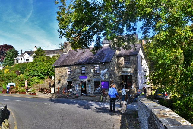
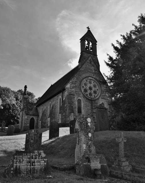
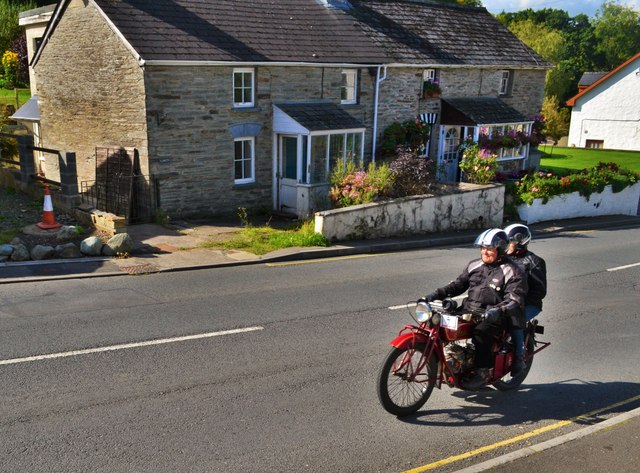
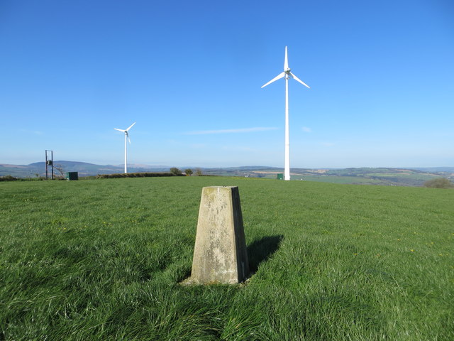
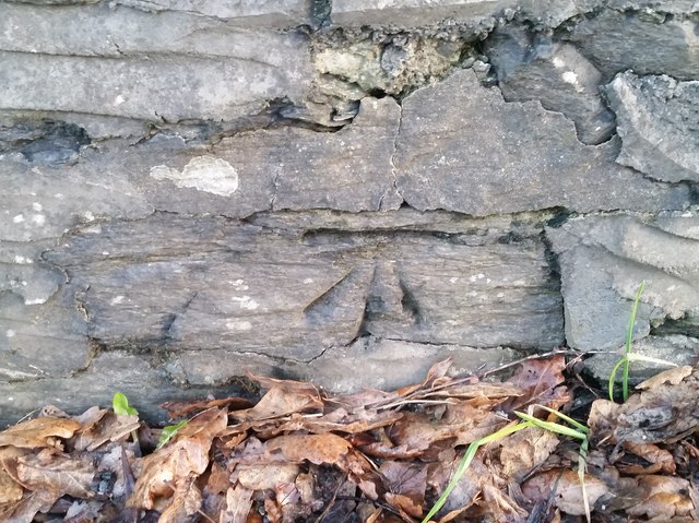
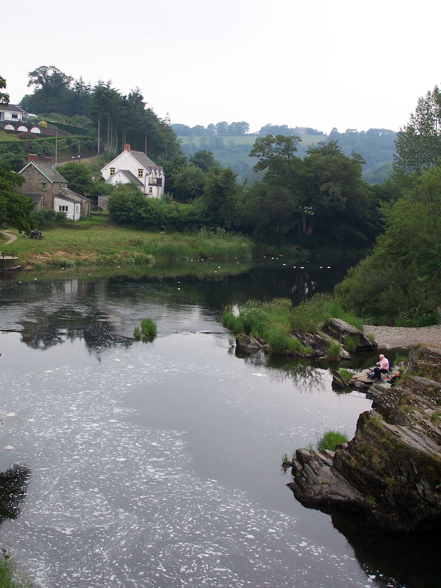
Allt Gudd Images
Images are sourced within 2km of 52.050381/-4.5165899 or Grid Reference SN2742. Thanks to Geograph Open Source API. All images are credited.
Allt Gudd is located at Grid Ref: SN2742 (Lat: 52.050381, Lng: -4.5165899)
Unitary Authority: Ceredigion
Police Authority: Dyfed Powys
What 3 Words
///hooks.newer.wolf. Near Newcastle Emlyn, Ceredigion
Related Wikis

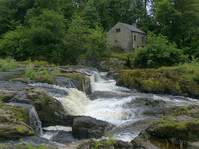
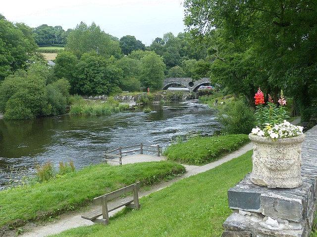
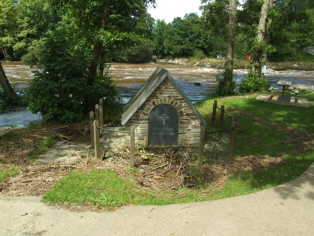
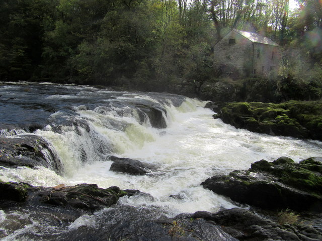
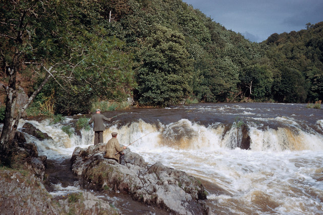
Cenarth Falls
The Cenarth Falls is a cascade of waterfalls just upstream of the road bridge in the village of Cenarth in Ceredigion, bordering Carmarthenshire and Pembrokeshire...
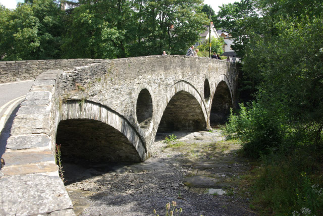
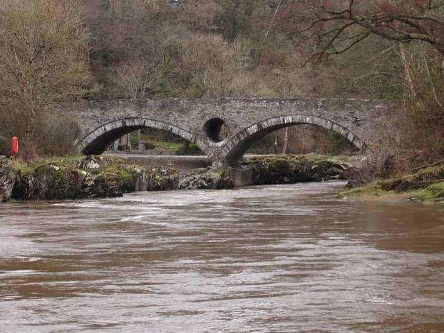
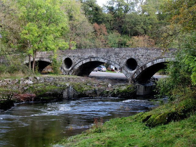
Cenarth Bridge
Cenarth Bridge (Welsh: Pont Cenarth), also spelt Kenarth Bridge, is a three arch bridge which spans the River Teifi at Cenarth, Carmarthenshire in Wales...

Troed-y-rhiw-Sion
Troed-y-rhiw-Sion is a hamlet in the community of Beulah, Ceredigion, Wales, which is 69.3 miles (111.6 km) from Cardiff and 190.9 miles (307.2 km) from...
National Coracle Centre
The National Coracle Centre is a museum in Cenarth, Carmarthenshire dedicated to coracles. It is owned by Martin Fowler and entry is via the wall of his...
Cenarth
Cenarth () is a village, parish and community in Carmarthenshire, on the border between Ceredigion and Carmarthenshire, and close to the border with Pembrokeshire...
Pen-y-wenallt
Pen-y-wenallt is a hamlet in Ceredigion (formerly Cardiganshire), Wales. Pen-y-wenallt lies halfway between Cenarth and Pont Ceri, bordering on Carmarthenshire...
Rhipinllwyd
Rhipinllwyd (or Rhippinllwyd) is a hamlet in the community of Beulah, Ceredigion, Wales, which is 69.3 miles (111.5 km) from Cardiff and 190.7 miles...
Capel Tygwydd
Capel Tygwydd is a hamlet in the community of Beulah, Ceredigion, Wales, which is 70.3 miles (113.1 km) from Cardiff and 191.7 miles (308.5 km) from London...
Nearby Amenities
Located within 500m of 52.050381,-4.5165899Have you been to Allt Gudd?
Leave your review of Allt Gudd below (or comments, questions and feedback).