Allt Llanerchmeudwy

Wood, Forest in Pembrokeshire

Wales

Allt Llanerchmeudwy

Ordnance Survey Cut Mark This OS cut mark can be found on the concrete post NW side of the road. It marks a point 142.539m above mean sea level.
Ordnance Survey Cut Mark Credit: Adrian Dust

Allt Llanerchmeudwy is a picturesque woodland located in the county of Pembrokeshire, Wales. Covering an area of approximately 100 acres, it is a stunning natural landscape that attracts visitors from near and far.

The woodland is characterized by its dense and diverse ecosystem, with a variety of tree species including oak, ash, beech, and birch. These trees provide a perfect habitat for a wide range of wildlife, making it a popular spot for nature enthusiasts and birdwatchers.

Walking through Allt Llanerchmeudwy, visitors can enjoy the tranquility and beauty of nature. The woodland is crisscrossed with well-maintained footpaths, allowing visitors to explore its different sections and discover hidden gems along the way. There are also picnic areas scattered throughout the woodland, providing a perfect spot for a leisurely lunch amidst the natural surroundings.

In addition to its natural beauty, Allt Llanerchmeudwy also has historical significance. It is believed to have been a part of the ancient Celtic kingdom of Dyfed, and remnants of ancient settlements can still be found within the woodland. These historical features add an extra layer of intrigue to the already captivating landscape.

Allt Llanerchmeudwy is a true haven for those looking to escape the hustle and bustle of everyday life and immerse themselves in nature. Whether it's a peaceful walk, a birdwatching expedition, or simply a moment of reflection, this woodland offers a unique and enriching experience for all who visit.

If you have any feedback on the listing, please let us know in the comments section below.

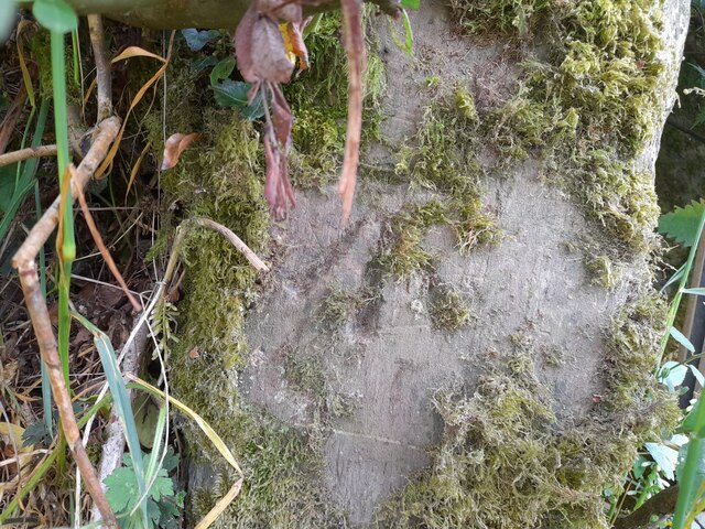
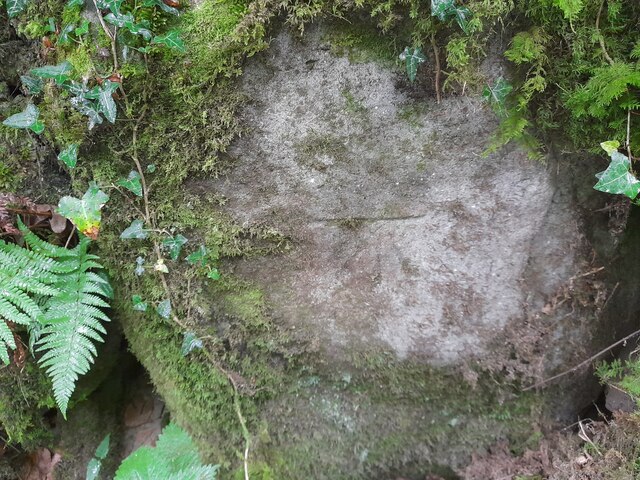
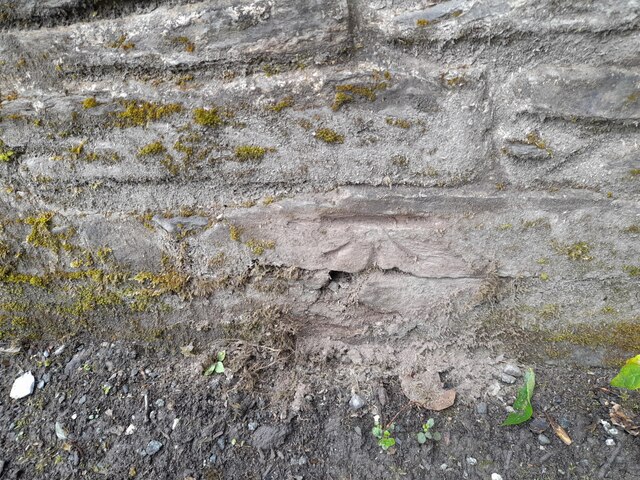
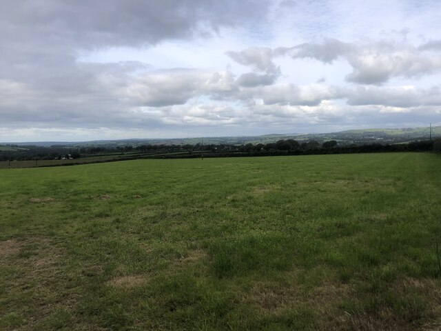
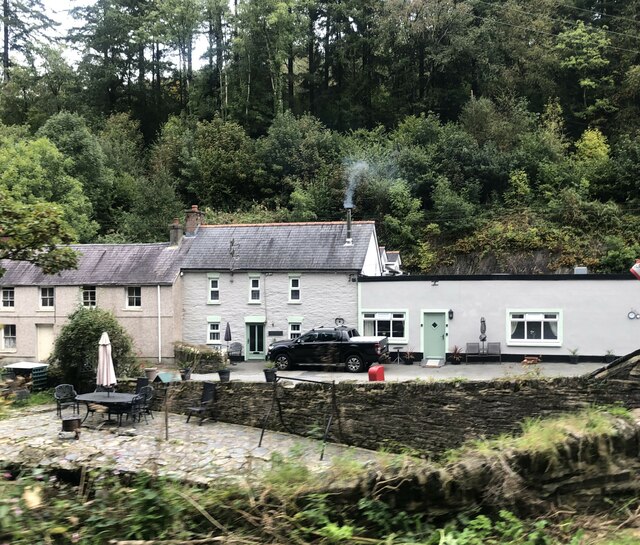
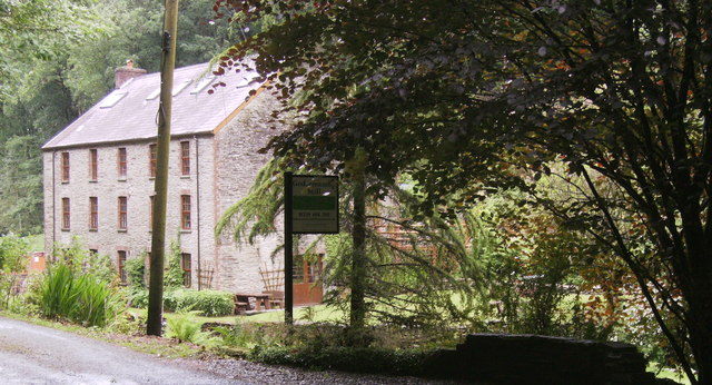
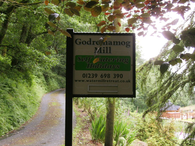
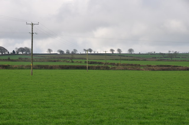
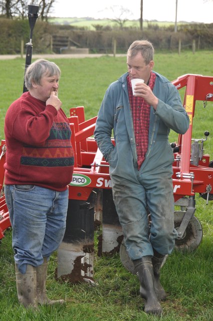
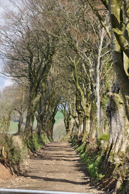
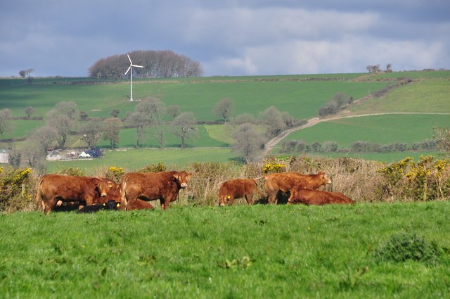
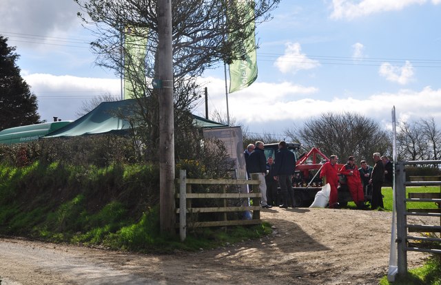
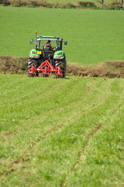
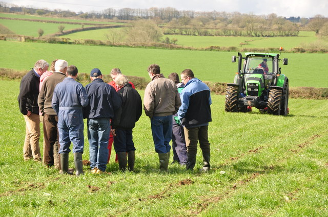
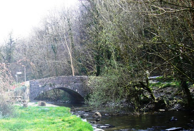
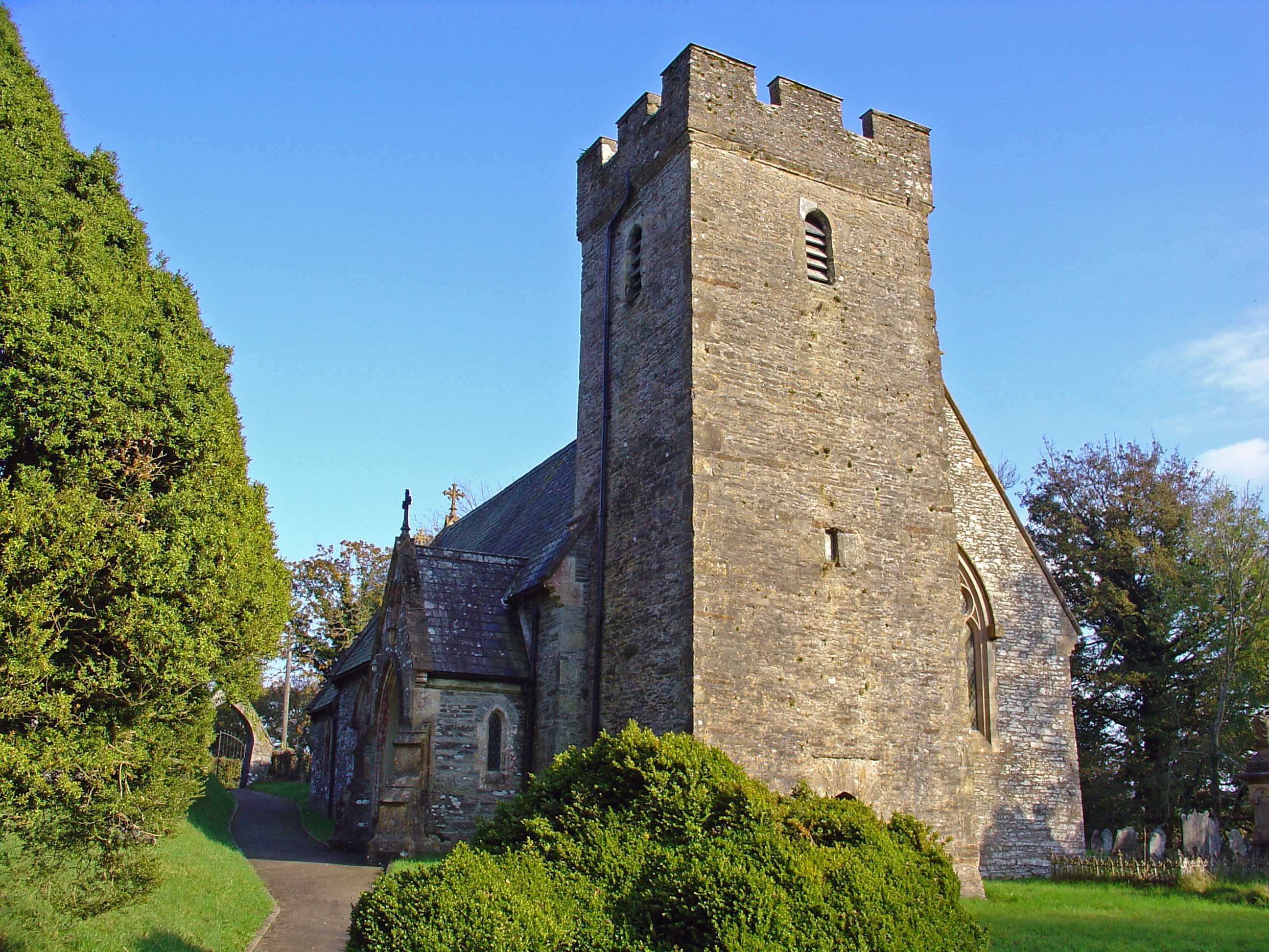
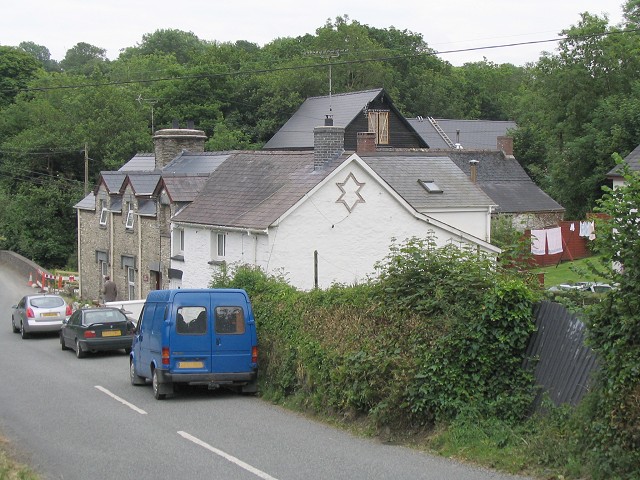
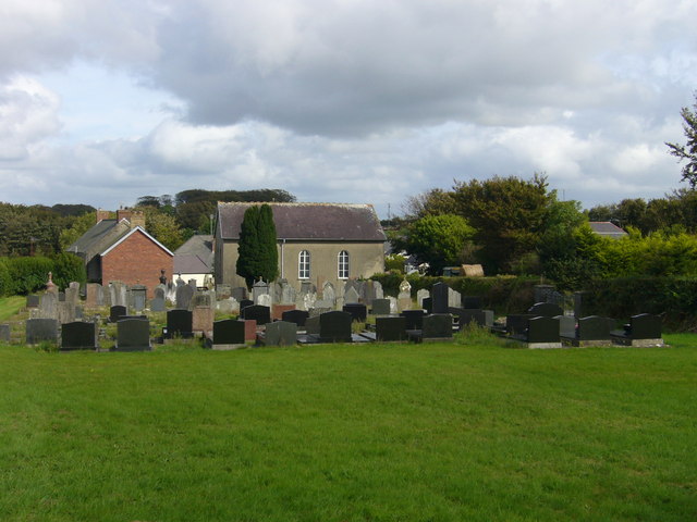
Allt Llanerchmeudwy Images

Images are sourced within 2km of 51.98682/-4.5127902 or Grid Reference SN2735. Thanks to Geograph Open Source API. All images are credited.

Ordnance Survey Cut Mark This OS cut mark can be found on the concrete post NW side of the road. It marks a point 142.539m above mean sea level.
Ordnance Survey Cut Mark
This OS cut mark can be found on the concrete post NW side of the road. It marks a point 142.539m above mean sea level.
Ordnance Survey Cut Mark This OS cut mark can be found on the stone wall SE side of the road. It marks a point 82.875m above mean sea level.
Ordnance Survey Cut Mark
This OS cut mark can be found on the stone wall SE side of the road. It marks a point 82.875m above mean sea level.
Ordnance Survey Cut Mark This OS cut mark can be found on the east parapet of Wedwst Bridge. It marks a point 62.082m above mean sea level.
Ordnance Survey Cut Mark
This OS cut mark can be found on the east parapet of Wedwst Bridge. It marks a point 62.082m above mean sea level.
Ordnance Survey Cut Mark This OS cut mark can be found on the wall SW side of the road. It marks a point 81.697m above mean sea level.
Ordnance Survey Cut Mark
This OS cut mark can be found on the wall SW side of the road. It marks a point 81.697m above mean sea level.
Pembrokeshire farmland South-east of Cardigan, this area of Pembrokeshire is remote, with a few scattered farms and hamlets.
Pembrokeshire farmland
South-east of Cardigan, this area of Pembrokeshire is remote, with a few scattered farms and hamlets.
Fox & Hounds, Cwm Cych Former public house, now a private house
Fox & Hounds, Cwm Cych
Former public house, now a private house
Godremamog Mill Self catering holidays in a genuine mill with a water wheel!
Godremamog Mill
Self catering holidays in a genuine mill with a water wheel!
Godremamog Mill Advertising sign for the Mill, on side of road.
Godremamog Mill
Advertising sign for the Mill, on side of road.
Mill race Well maintained mill race, and the waters are flowing well.
Mill race
Well maintained mill race, and the waters are flowing well.
Mill race A little further down stream from <a href="https://www.geograph.org.uk/photo/3015905">SN2935 : Mill race</a> the race is contained by a stone wall, the Afon Barddu is about ten feet below the race at this point, flowing towards Godremamog Mill.
Mill race
A little further down stream from SN2935 : Mill race the race is contained by a stone wall, the Afon Barddu is about ten feet below the race at this point, flowing towards Godremamog Mill.
Bridge over Afon Another old nice bridge, and a junction beyond, the road follows the Afon Barddu to the right, after the bridge.
Bridge over Afon
Another old nice bridge, and a junction beyond, the road follows the Afon Barddu to the right, after the bridge.
Pembrokeshire : Grassy Field A grassy field in the Pembrokeshire countryside.
Pembrokeshire : Grassy Field
A grassy field in the Pembrokeshire countryside.
Pembrokeshire : Talking Farmers Two farmers in the field having a chat.
Pembrokeshire : Talking Farmers
Two farmers in the field having a chat.
Pembrokeshire : Small Lane A small lane and footpath head out into the countryside.
Pembrokeshire : Small Lane
A small lane and footpath head out into the countryside.
Pembrokeshire : Grassy Field & Cattle Cattle grazing in a grassy field in the Pembrokeshire countryside.
Pembrokeshire : Grassy Field & Cattle
Cattle grazing in a grassy field in the Pembrokeshire countryside.
Pembrokeshire : Country Lane A country lane and entrance to the field where a small event is taking place.
Pembrokeshire : Country Lane
A country lane and entrance to the field where a small event is taking place.
Pembrokeshire : Grassy Field & Tractor A tractor ploughing the field in Pembrokeshire.
Pembrokeshire : Grassy Field & Tractor
A tractor ploughing the field in Pembrokeshire.
Pembrokeshire : Grassy Field A grassy field with members of the farming community gathered around to look at the ploughing process.
Pembrokeshire : Grassy Field
A grassy field with members of the farming community gathered around to look at the ploughing process.
Show me another place!

Allt Llanerchmeudwy is located at Grid Ref: SN2735 (Lat: 51.98682, Lng: -4.5127902)

Unitary Authority: Pembrokeshire

Police Authority: Dyfed Powys

What 3 Words

///safari.etchings.publisher. Near Trelech, Carmarthenshire

Related Wikis

Cwmcych

Cwmcych, Cwm Cych or Glyn Cuch (Welsh for 'Valley of the river Cych') is a small village in the upper Cych valley straddling the border between Carmarthenshire...

Pont Cych

Pont Cych is a single-arch, Grade II-listed bridge over Afon Cych at Cwmcych in the Cych Valley, bordering Carmarthenshire and Pembrokeshire, Wales....

Cilrhedyn

Cilrhedyn is a hamlet and parish in the counties of Carmarthenshire and Pembrokeshire, Wales, in the hill country to the south of the Teifi valley. The...

Roman Catholic Diocese of Menevia

The Diocese of Menevia (Latin: Dioecesis Menevensis) is a Latin Church diocese of the Catholic Church in Wales. It is one of two suffragan dioceses in...

Clydau

Clydau (sometimes Clydaï or Clydey) is a community and parish in Pembrokeshire, Wales. == Name == The meaning of the Welsh placename is uncertain, although...

Star, Pembrokeshire

Star is a small village in the parish and community of Clydau in Pembrokeshire, Wales. It lies south of Bwlchygroes on a crossroads in the valley of the...

Cilgerran Hundred

The Hundred of Cilgerran (often written "Kilgerran") was a hundred in the north of Pembrokeshire, Wales. It was formed by the Act of Union of 1536 from...

Bwlchygroes

Bwlchygroes (; sometimes spelled Bwlch-y-groes) is a small upland rural village in the community and parish of Clydau, north Pembrokeshire, Wales, 5 miles...

Nearby Amenities

Located within 500m of 51.98682,-4.5127902
Place: farm
Lat/Long: 51.9886922/-4.5158394
Give Way
Direction: forward
Lat/Long: 51.985505/-4.5062893
Direction: 175
Generator Method: photovoltaic
Generator Output Electricity: yes
Generator Solar Modules: 16
Generator Source: solar
Generator Type: solar_photovoltaic_panel
Location: roof
Power: generator
Lat/Long: 51.9888874/-4.5157591
The data included in this document is from www.openstreetmap.org. The data is made available under ODbL.

Have you been to Allt Llanerchmeudwy?

Leave your review of Allt Llanerchmeudwy below (or comments, questions and feedback).