Allt Gôch
Wood, Forest in Cardiganshire
Wales
Allt Gôch
Allt Gôch is a stunning wood located in Cardiganshire, Wales. Covering an area of approximately 50 hectares, it is a true haven for nature enthusiasts and outdoor lovers. The wood is situated on the eastern slopes of Pumlumon, the highest peak in the Cambrian Mountains, offering breathtaking views of the surrounding landscapes.
Allt Gôch is predominantly composed of native broadleaf trees, including oak, beech, ash, and birch, which provide a diverse and vibrant habitat for a wide range of flora and fauna. The forest floor is adorned with an array of wildflowers during the spring and summer months, creating a mesmerizing tapestry of colors.
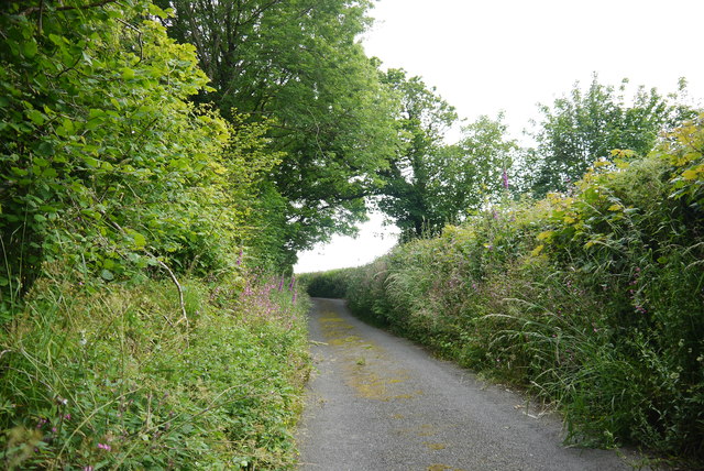
The wood features well-maintained walking trails that allow visitors to explore its beauty at their own pace. These paths meander through the dense foliage and lead to tranquil spots such as bubbling streams and small waterfalls, adding to the enchanting atmosphere of the wood.
The area is also home to a rich variety of wildlife. Birdwatchers can spot species such as buzzards, woodpeckers, and red kites soaring above the treetops. The forest is also inhabited by mammals like foxes, badgers, and deer, making it a popular destination for wildlife photography and observation.
Allt Gôch is a designated Site of Special Scientific Interest (SSSI) due to its ecological significance and the rare species it supports. The wood is managed by a local conservation organization in collaboration with the Forestry Commission, ensuring the preservation and protection of its unique ecosystem.
Overall, Allt Gôch is a captivating forest that offers a peaceful retreat amidst the natural beauty of Cardiganshire, making it a must-visit destination for nature lovers and those seeking tranquility in the heart of Wales.
If you have any feedback on the listing, please let us know in the comments section below.
Allt Gôch Images
Images are sourced within 2km of 52.052686/-4.5236044 or Grid Reference SN2742. Thanks to Geograph Open Source API. All images are credited.


Allt Gôch is located at Grid Ref: SN2742 (Lat: 52.052686, Lng: -4.5236044)
Unitary Authority: Ceredigion
Police Authority: Dyfed Powys
What 3 Words
///irritated.octopus.oiled. Near Newcastle Emlyn, Ceredigion
Related Wikis

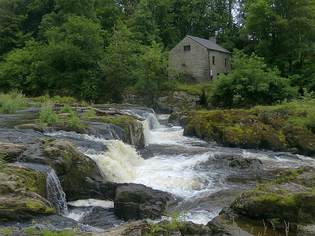
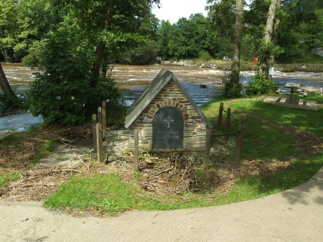
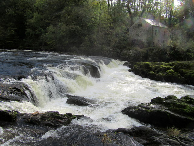
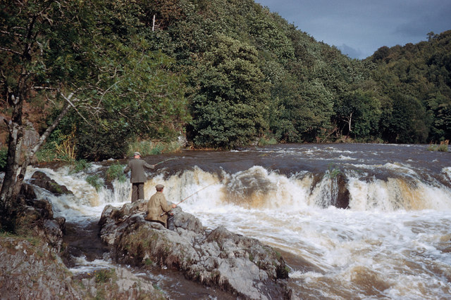
Cenarth Falls
The Cenarth Falls is a cascade of waterfalls just upstream of the road bridge in the village of Cenarth in Ceredigion, bordering Carmarthenshire and Pembrokeshire...
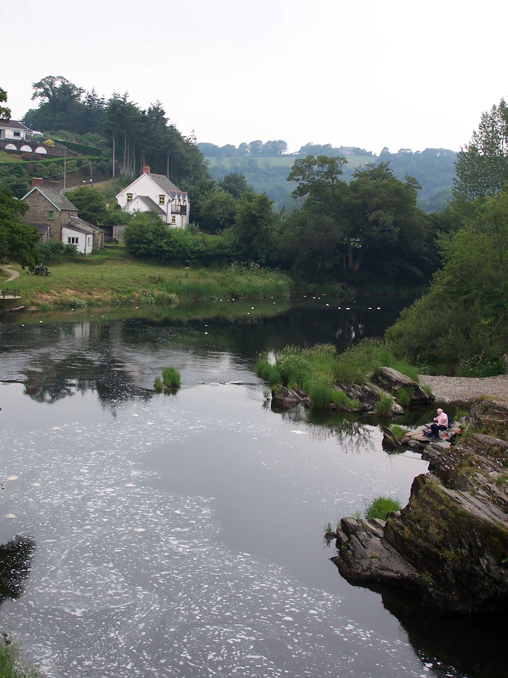
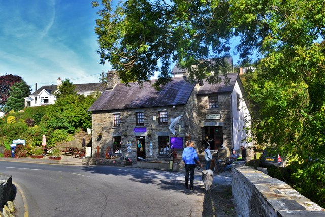
Cenarth
Cenarth () is a village, parish and community in Carmarthenshire, on the border between Ceredigion and Carmarthenshire, and close to the border with Pembrokeshire...

National Coracle Centre
The National Coracle Centre is a museum in Cenarth, Carmarthenshire dedicated to coracles. It is owned by Martin Fowler and entry is via the wall of his...
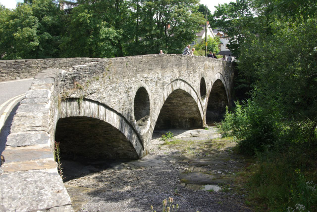
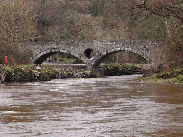
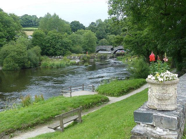
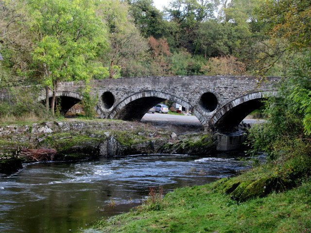
Cenarth Bridge
Cenarth Bridge (Welsh: Pont Cenarth), also spelt Kenarth Bridge, is a three arch bridge which spans the River Teifi at Cenarth, Carmarthenshire in Wales...
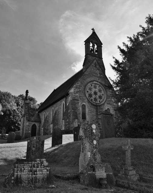
Capel Tygwydd
Capel Tygwydd is a hamlet in the community of Beulah, Ceredigion, Wales, which is 70.3 miles (113.1 km) from Cardiff and 191.7 miles (308.5 km) from London...
Troed-y-rhiw-Sion
Troed-y-rhiw-Sion is a hamlet in the community of Beulah, Ceredigion, Wales, which is 69.3 miles (111.6 km) from Cardiff and 190.9 miles (307.2 km) from...
Rhipinllwyd
Rhipinllwyd (or Rhippinllwyd) is a hamlet in the community of Beulah, Ceredigion, Wales, which is 69.3 miles (111.5 km) from Cardiff and 190.7 miles...
Pen-y-wenallt
Pen-y-wenallt is a hamlet in Ceredigion (formerly Cardiganshire), Wales. Pen-y-wenallt lies halfway between Cenarth and Pont Ceri, bordering on Carmarthenshire...
Nearby Amenities
Located within 500m of 52.052686,-4.5236044Have you been to Allt Gôch?
Leave your review of Allt Gôch below (or comments, questions and feedback).