Allt Rhosygilwen
Wood, Forest in Pembrokeshire
Wales
Allt Rhosygilwen

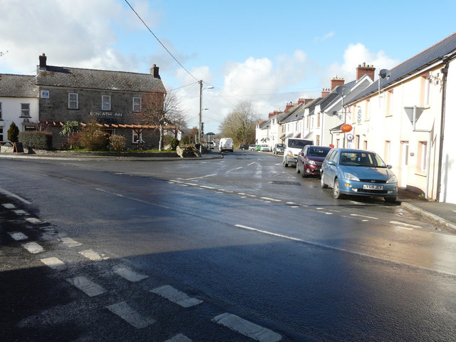
Allt Rhosygilwen is a picturesque woodland located in Pembrokeshire, Wales. Covering an area of approximately 27 acres, it is renowned for its natural beauty and diverse range of trees and plant species. The woodland is situated near the village of Cilgerran and is a popular destination for nature enthusiasts and outdoor enthusiasts alike.
The forest is predominantly made up of native tree species such as oak, beech, ash, and alder. These trees provide a rich habitat for various wildlife, including birds, mammals, and insects. The woodland also features a small stream that meanders through the trees, adding to its charm and tranquility.
Allt Rhosygilwen is not only a haven for nature lovers but also a cultural hotspot. It is home to the Rhosygilwen Mansion, a Georgian country house that has been converted into a cultural center. The mansion hosts a variety of events, including concerts, exhibitions, and workshops, making it a hub for arts and culture in the area.
Visitors to Allt Rhosygilwen can explore the woodland through a network of well-maintained trails. These trails offer stunning views of the surrounding countryside and provide opportunities for walking, jogging, and cycling. There are also picnic areas and benches scattered throughout the forest, allowing visitors to relax and enjoy the peaceful surroundings.
In summary, Allt Rhosygilwen is a beautiful woodland in Pembrokeshire that offers a unique blend of natural beauty and cultural experiences. With its diverse range of trees, wildlife, and cultural events, it is a must-visit destination for those seeking a tranquil escape in the heart of nature.
If you have any feedback on the listing, please let us know in the comments section below.
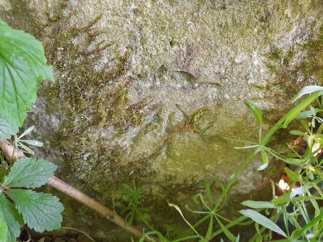
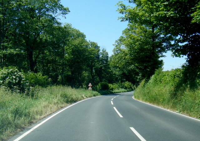
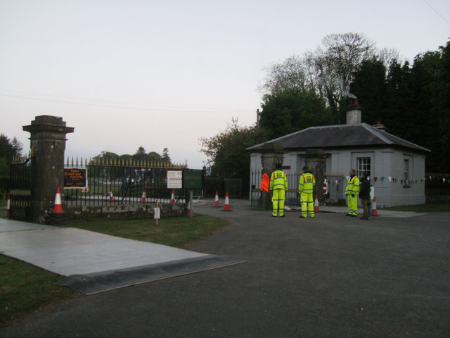
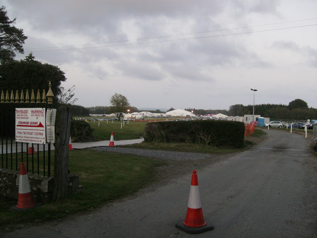
Allt Rhosygilwen Images
Images are sourced within 2km of 52.032323/-4.6168344 or Grid Reference SN2040. Thanks to Geograph Open Source API. All images are credited.


Allt Rhosygilwen is located at Grid Ref: SN2040 (Lat: 52.032323, Lng: -4.6168344)
Unitary Authority: Pembrokeshire
Police Authority: Dyfed Powys
What 3 Words
///relies.opposites.stressed. Near Cardigan, Ceredigion
Nearby Locations
Related Wikis
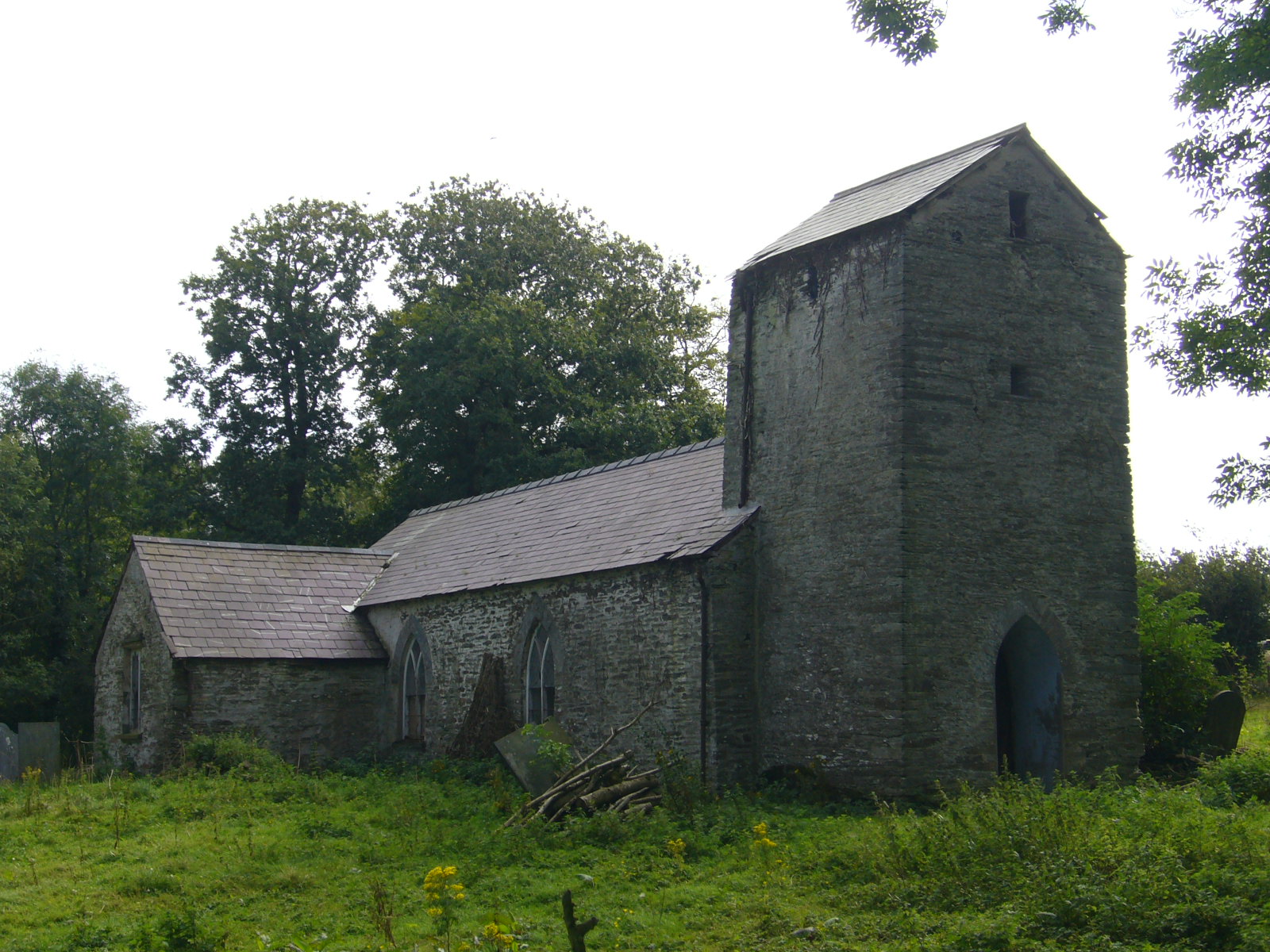
Llanfihangel Penbedw
Llanfihangel Penbedw is a parish in the former Hundred of Kilgerran in northeast Pembrokeshire, Wales. The parish, a joint curacy with Capel Colman, in...

Rhoshill, Pembrokeshire
Rhoshill (also known as Rhos-hill) is a hamlet on the A478 road, in the community and parish of Cilgerran, in Pembrokeshire, South-west Wales. The hamlet...

Boncath railway station
Boncath railway station served the village of Boncath, Pembrokeshire, Wales, from 1886 to 1963 on the Whitland and Cardigan Railway. == History == The...
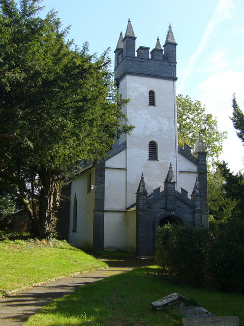
Capel Colman
Capel Colman is a parish in northeast Pembrokeshire, Wales, in the community of Boncath. Formerly in the Hundred of Cilgerran, Capel Colman is a small...
Nearby Amenities
Located within 500m of 52.032323,-4.6168344Have you been to Allt Rhosygilwen?
Leave your review of Allt Rhosygilwen below (or comments, questions and feedback).