Allt Penlan
Wood, Forest in Carmarthenshire
Wales
Allt Penlan
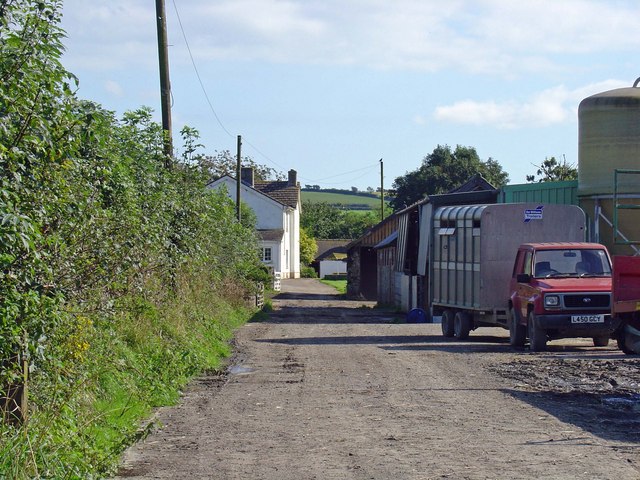
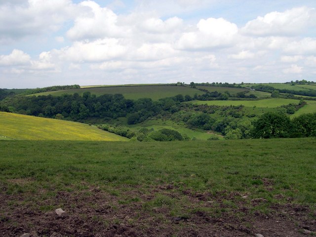
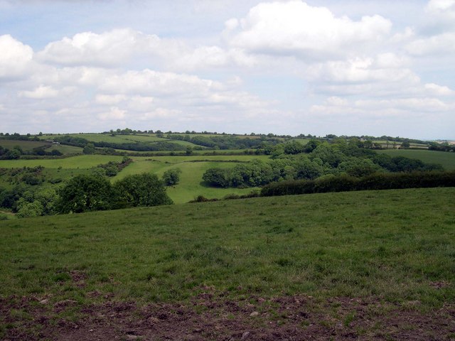
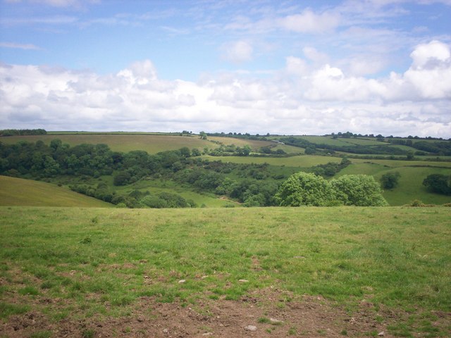
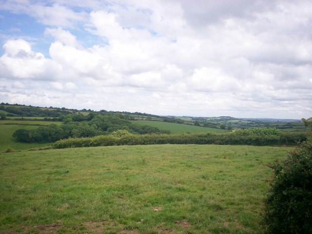
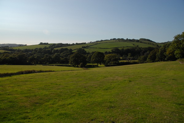
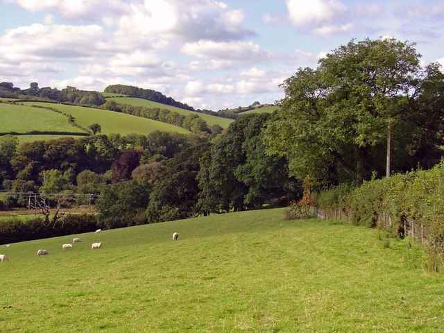
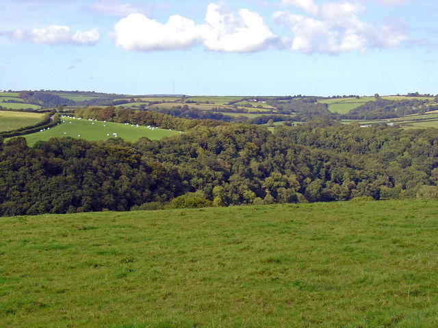
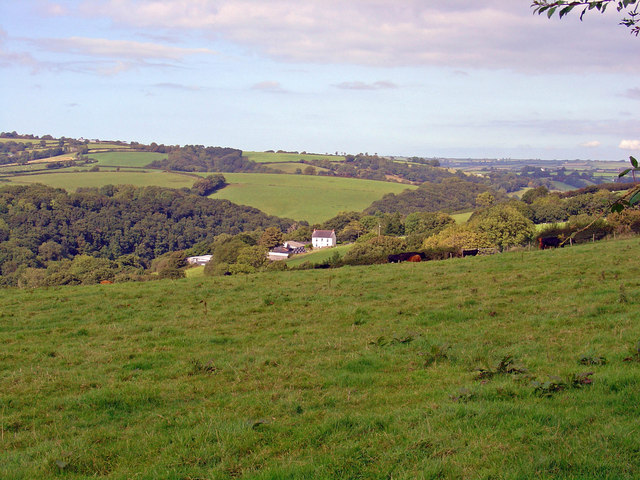
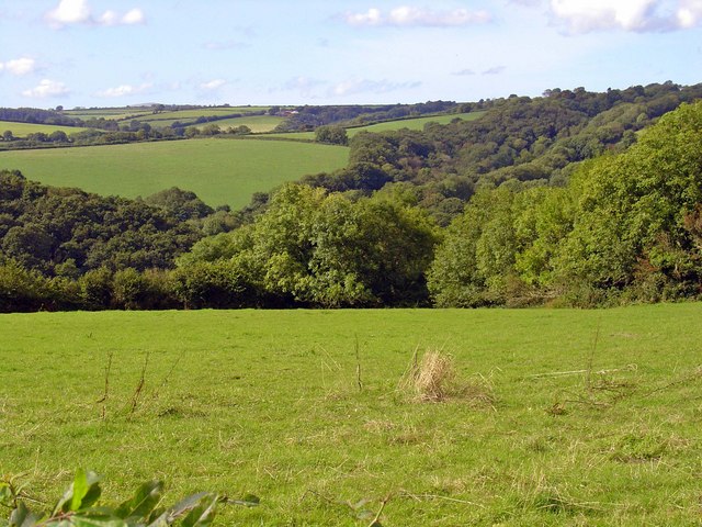
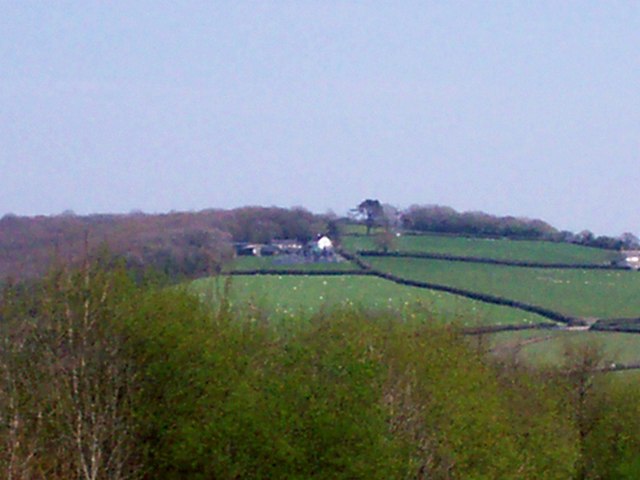
Allt Penlan is a picturesque wood located in the county of Carmarthenshire, Wales. Situated in the western part of the country, this stunning forest covers an area of approximately 50 acres. The woodland is nestled within the scenic landscape of the Towy Valley, offering visitors a tranquil and natural retreat.
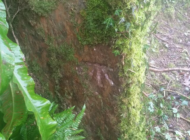
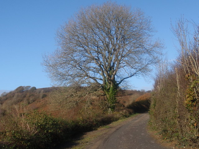
The woodland is predominantly composed of native tree species, including oak, beech, and birch. These trees provide a rich habitat for a diverse range of flora and fauna, making Allt Penlan a haven for nature enthusiasts and wildlife lovers. The forest floor is adorned with an array of wildflowers, creating a vibrant and colorful carpet during the spring and summer months.
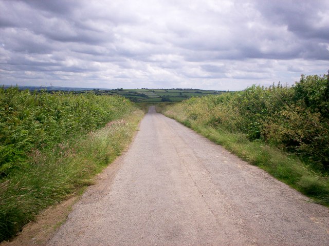
Several walking trails wind their way through the wood, allowing visitors to explore its beauty at their own pace. These paths provide access to various viewpoints, from which visitors can enjoy breathtaking views of the surrounding countryside. The peaceful atmosphere and the soothing sound of birdsong make Allt Penlan an ideal destination for those seeking relaxation and solitude.
The wood is also of historical significance, as it is believed to have been part of a larger ancient woodland that once covered a significant portion of the region. Remnants of old boundary walls and ditches can still be seen within the forest, offering a glimpse into its rich past.
Allt Penlan is a true gem of Carmarthenshire, offering visitors a chance to immerse themselves in the beauty of nature and experience the tranquility of a traditional Welsh woodland.
If you have any feedback on the listing, please let us know in the comments section below.
Allt Penlan Images
Images are sourced within 2km of 51.842942/-4.605773 or Grid Reference SN2019. Thanks to Geograph Open Source API. All images are credited.

Allt Penlan is located at Grid Ref: SN2019 (Lat: 51.842942, Lng: -4.605773)
Unitary Authority: Carmarthenshire
Police Authority: Dyfed Powys
What 3 Words
///swan.aside.shifters. Near Whitland, Carmarthenshire
Nearby Locations
Related Wikis

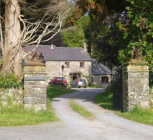
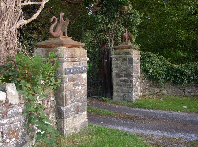
Whitland Abbey
Whitland Abbey (Welsh: Abaty Hendy-gwyn ar Daf or simply Y Tŷ Gwyn ar Daf; Latin: Albalanda) was a country house and Cistercian abbey in the parish of...

Henllan Amgoed
Henllan Amgoed is a small village near Whitland, Carmarthenshire and forms part of the community of Henllanfallteg. The village is home to a chapel and...

Ysgol Dyffryn Taf School
Dyffryn Taf is the name of a Comprehensive School with both English and Welsh classes in Whitland, Carmarthenshire, Wales, United Kingdom. == History... ==

Landsker Borderlands Trail
The Landsker Borderlands Trail is a waymarked long distance footpath in the United Kingdom running through Pembrokeshire and Carmarthenshire in West Wales...

Whitland
Whitland (Welsh: Hendy-gwyn, lit. 'Old White House', or Hendy-gwyn ar Daf, lit. 'Old White House on the River Taf', from the medieval Ty Gwyn ar Daf) is...
Whitland railway station
Whitland railway station serves the town of Whitland in Carmarthenshire, Wales. It is located on the West Wales Line from Swansea. To the west of the station...
Henllanfallteg
Henllanfallteg (Welsh: Henllan Fallteg) is a community in the west of Carmarthenshire, Wales. It comprises the villages of Cwmfelin Boeth, Henllan Amgoed...
Afon Marlais, Pembrokeshire
The Afon Marlais is a right-bank tributary of the River Tâf in Pembrokeshire, West Wales. It flows through the Vale of Lampeter to join the Tâf just west...
Nearby Amenities
Located within 500m of 51.842942,-4.605773Have you been to Allt Penlan?
Leave your review of Allt Penlan below (or comments, questions and feedback).