Rhosygilwen
Settlement in Pembrokeshire
Wales
Rhosygilwen

Rhosygilwen is a charming rural village situated in the county of Pembrokeshire, Wales. Known for its idyllic landscapes and peaceful atmosphere, Rhosygilwen is nestled amidst rolling hills and lush green fields, providing a picturesque setting for visitors and residents alike.
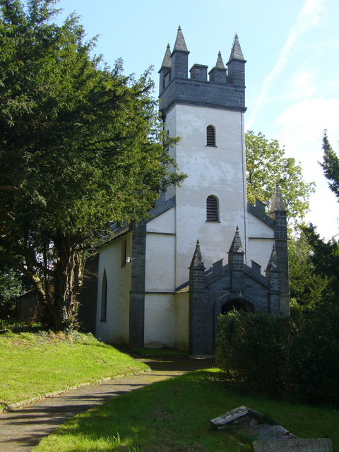
The village is renowned for its cultural heritage and is home to the Rhosygilwen Mansion, a striking Grade II listed building that dates back to the 18th century. The mansion has been lovingly restored and now serves as a vibrant arts and cultural center, hosting a wide range of events including concerts, exhibitions, and workshops. Its stunning architecture and manicured gardens make it a popular venue for weddings and special occasions.
Nature enthusiasts are drawn to Rhosygilwen for its proximity to the Pembrokeshire Coast National Park, which lies just a short distance away. This allows for easy access to breathtaking coastal walks, sandy beaches, and diverse wildlife. The nearby Preseli Hills also offer opportunities for hiking and exploring ancient monuments, such as the famous Stonehenge bluestones.
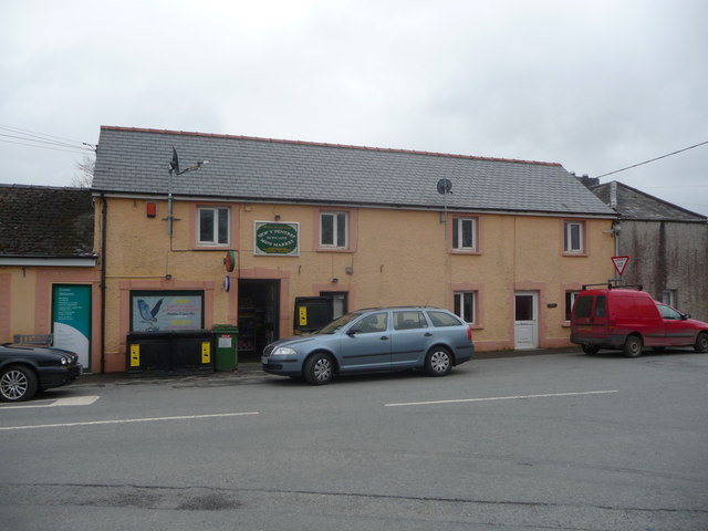
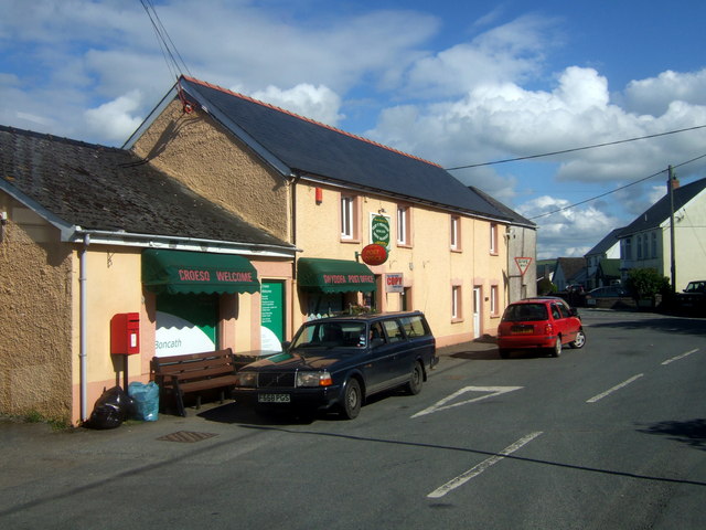
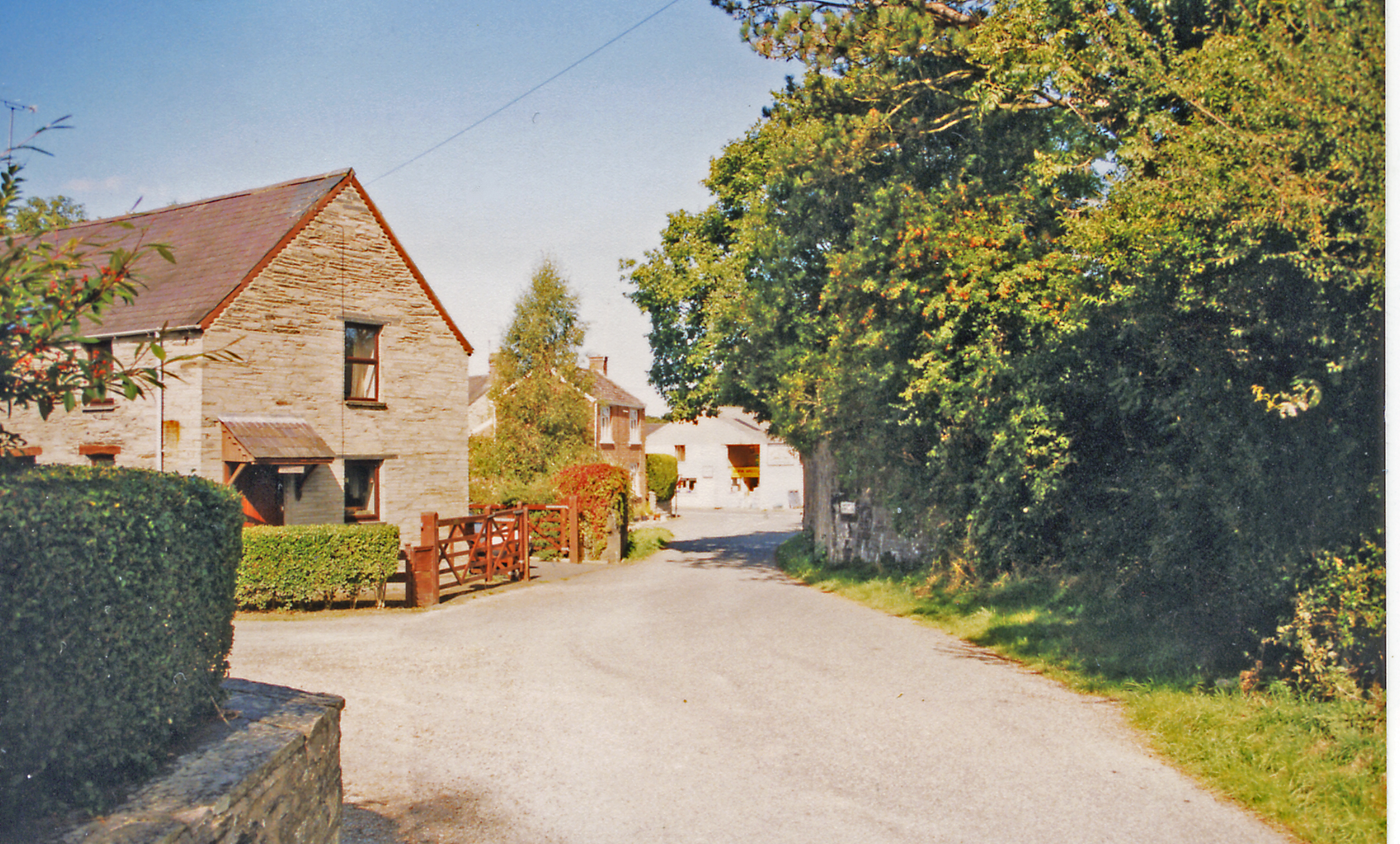
The village itself boasts a close-knit community, with a selection of quaint cottages and a local pub that serves as a hub for socializing. Rhosygilwen is surrounded by a patchwork of farmland, providing a tranquil and peaceful environment away from the hustle and bustle of city life.
Overall, Rhosygilwen is a hidden gem within Pembrokeshire, offering a blend of natural beauty, cultural heritage, and a warm community spirit.
If you have any feedback on the listing, please let us know in the comments section below.
Rhosygilwen Images
Images are sourced within 2km of 52.029124/-4.6252347 or Grid Reference SN2040. Thanks to Geograph Open Source API. All images are credited.


Rhosygilwen is located at Grid Ref: SN2040 (Lat: 52.029124, Lng: -4.6252347)
Unitary Authority: Pembrokeshire
Police Authority: Dyfed Powys
What 3 Words
///reclined.coconuts.aims. Near Crymych, Pembrokeshire
Nearby Locations
Related Wikis
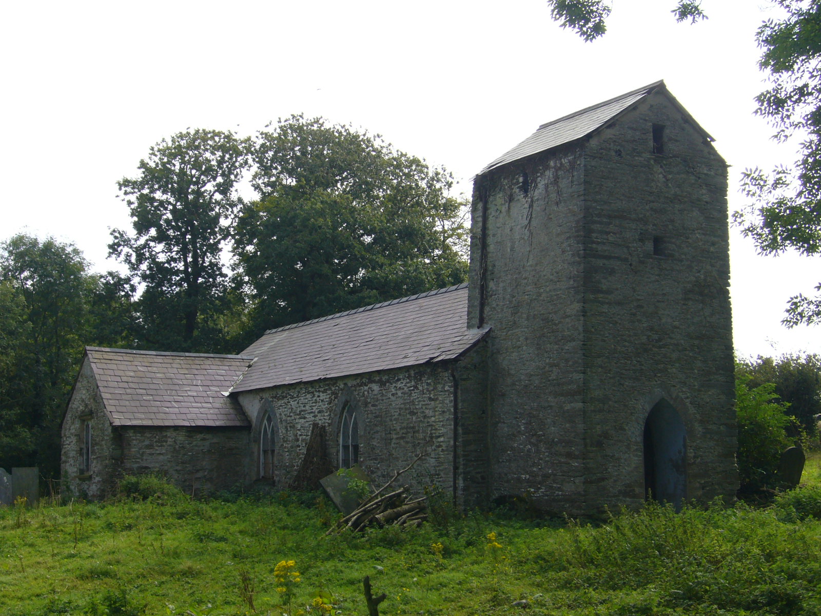
Llanfihangel Penbedw
Llanfihangel Penbedw is a parish in the former Hundred of Kilgerran in northeast Pembrokeshire, Wales. The parish, a joint curacy with Capel Colman, in...

Rhoshill, Pembrokeshire
Rhoshill (also known as Rhos-hill) is a hamlet on the A478 road, in the community and parish of Cilgerran, in Pembrokeshire, South-west Wales. The hamlet...

Boncath railway station
Boncath railway station served the village of Boncath, Pembrokeshire, Wales, from 1886 to 1963 on the Whitland and Cardigan Railway. == History == The...
Boncath
Boncath is a village, community and postal district in north Pembrokeshire, Wales, about 5 miles (8.0 km) west of Newcastle Emlyn. The village stands at...
Capel Colman
Capel Colman is a parish in northeast Pembrokeshire, Wales, in the community of Boncath. Formerly in the Hundred of Cilgerran, Capel Colman is a small...
Kilgerran Halt railway station
Kilgerran Halt railway station served the village of Cilgerran, Pembrokeshire, Wales, from 1886 to 1963 on the Whitland and Cardigan Railway. == History... ==

Cilgerran
Cilgerran (previously Kilgerran or Cil-Garon) is both a village, a parish, and also a community, situated on the south bank of the River Teifi in Pembrokeshire...

Bridell
Bridell (Welsh: Y Bridell) is a small settlement and parish in north Pembrokeshire, Wales. The parish includes the village of Pen-y-bryn. Together with...
Nearby Amenities
Located within 500m of 52.029124,-4.6252347Have you been to Rhosygilwen?
Leave your review of Rhosygilwen below (or comments, questions and feedback).