Rhosygwaliau
Settlement in Merionethshire
Wales
Rhosygwaliau
Rhosygwaliau is a small village located in the historic county of Merionethshire, Wales. Situated in the beautiful countryside of North Wales, it is nestled within the Snowdonia National Park, offering breathtaking views and a peaceful environment.
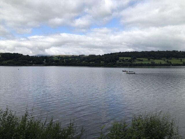
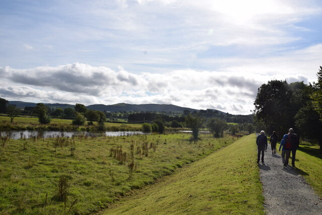
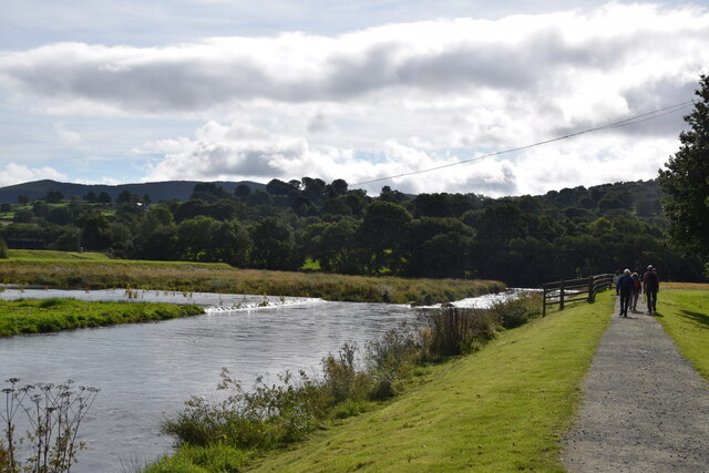
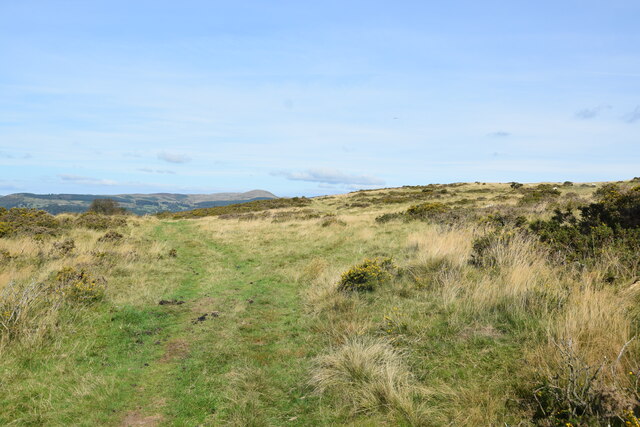
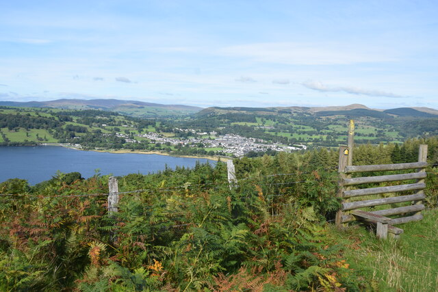
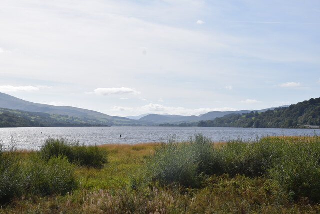
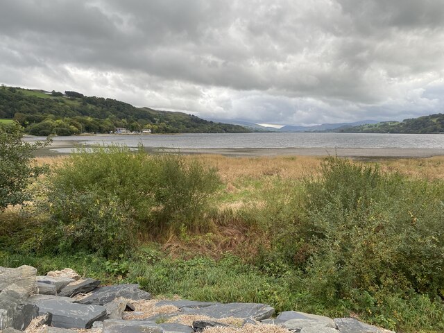
The village is surrounded by rolling hills, lush green fields, and charming woodlands, making it an ideal destination for nature lovers and outdoor enthusiasts. It is situated near the banks of the River Dwyryd, which adds to the tranquility of the area. The village is known for its picturesque scenery, with traditional stone-built houses and a sense of timeless charm.
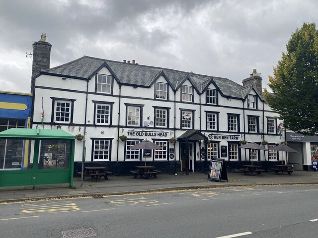
Despite its small size, Rhosygwaliau has a close-knit community that takes pride in preserving the area's natural beauty and cultural heritage. The village is home to a small primary school, a community hall, and a local pub, which serves as a gathering place for locals and visitors alike.
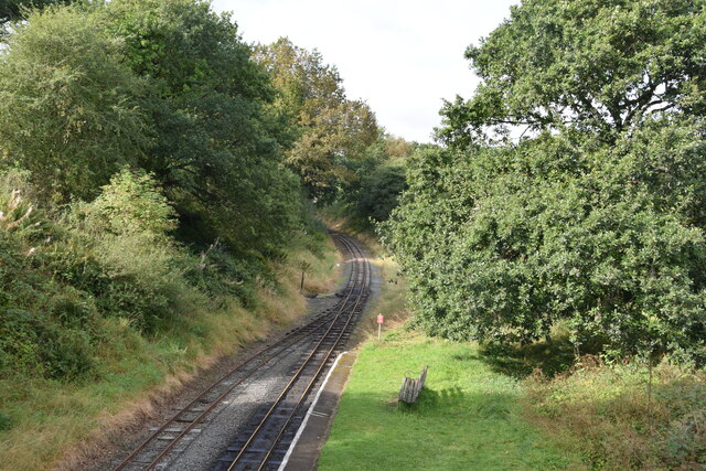
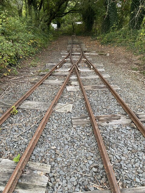
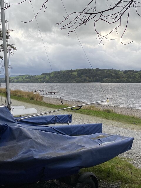
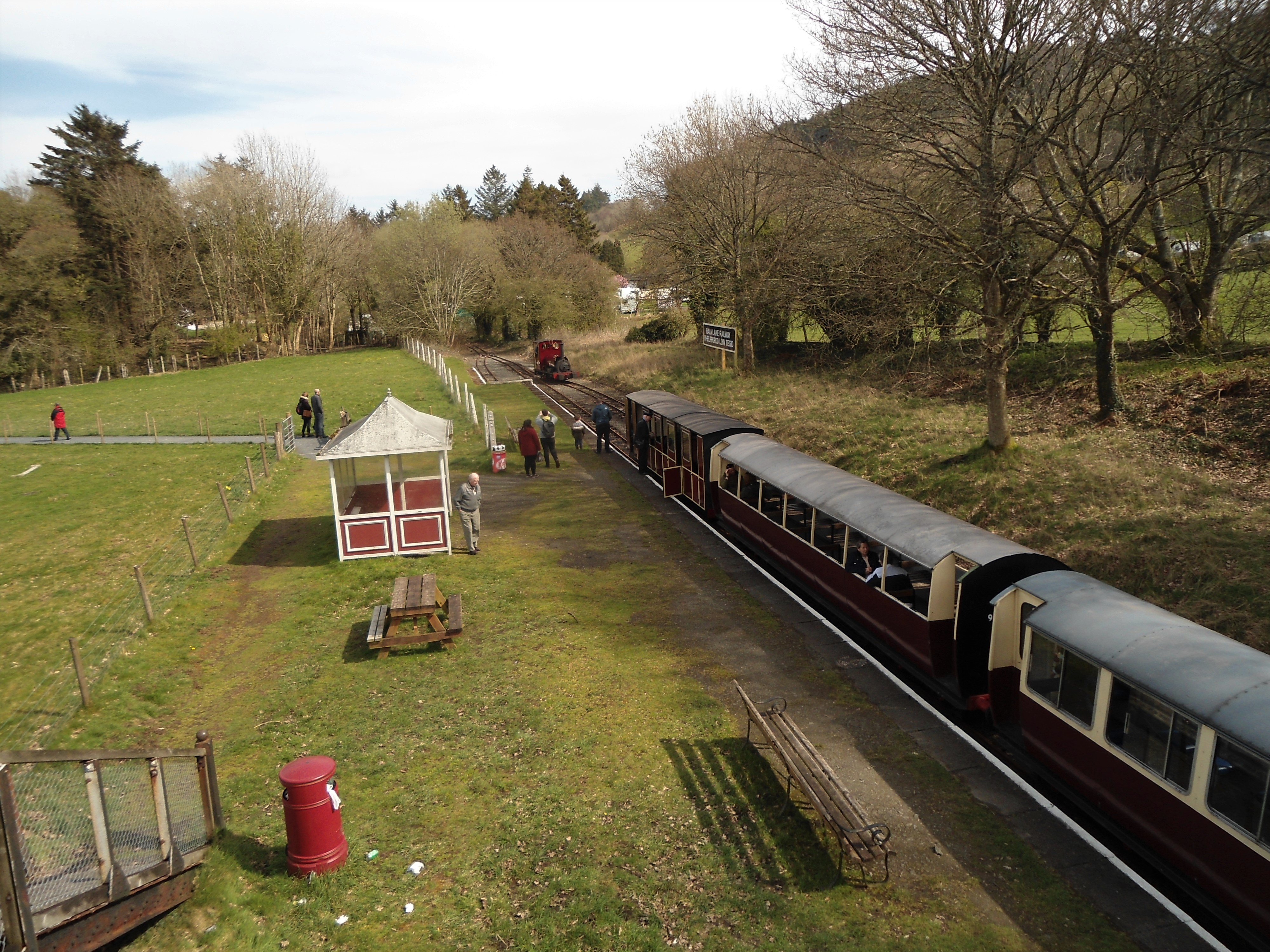
For those seeking outdoor activities, Rhosygwaliau offers numerous opportunities for hiking, biking, and exploring the surrounding countryside. Nearby attractions include the famous Ffestiniog Railway, which passes through the scenic Vale of Ffestiniog, as well as the picturesque village of Beddgelert, known for its legends and stunning mountain scenery.
Rhosygwaliau is a hidden gem in the heart of Wales, offering a peaceful retreat and a chance to experience the beauty of the Welsh countryside. Whether you are looking for a relaxing getaway or an active adventure, this charming village has something to offer for everyone.
If you have any feedback on the listing, please let us know in the comments section below.
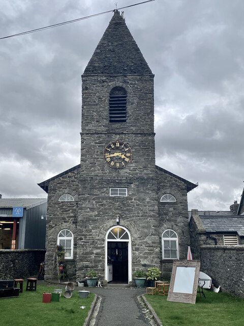
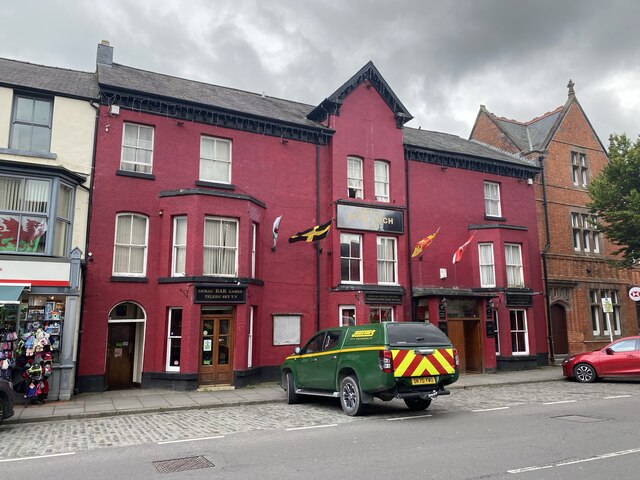
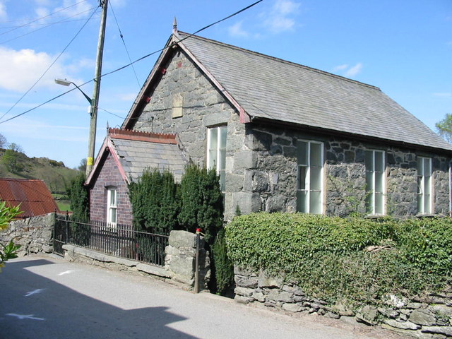
Rhosygwaliau Images
Images are sourced within 2km of 52.899712/-3.5754 or Grid Reference SH9434. Thanks to Geograph Open Source API. All images are credited.
Rhosygwaliau is located at Grid Ref: SH9434 (Lat: 52.899712, Lng: -3.5754)
Unitary Authority: Gwynedd
Police Authority: North Wales
Also known as: Rhos-y-gwaliau
What 3 Words
///emotional.initiated.snappy. Near Bala, Gwynedd
Nearby Locations
Related Wikis
Rhos-y-gwaliau
Rhos-y-gwaliau is a small hamlet in Meirionnydd, Gwynedd, North Wales, about 1.5 miles (2.4 km) south-east of Bala. It is home to the Rhos y Gwaliau Outdoor...

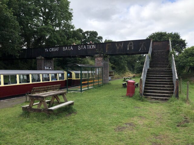
Bala Junction railway station
Bala Junction railway station was on the Ruabon to Barmouth line in southern Gwynedd, Wales. It closed to passengers on Monday 18 January 1965. Bala Junction...
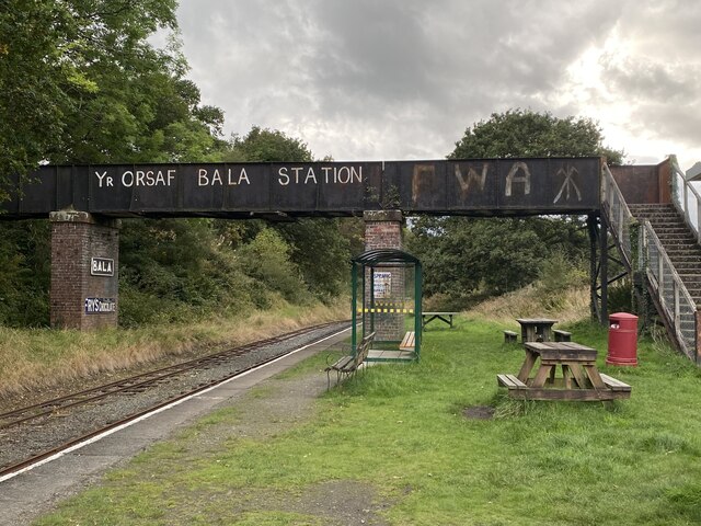
Bala (Penybont) railway station
Bala (Penybont) is the current terminus of the heritage Bala Lake Railway, in Gwynedd, Wales, since 1976. The site was formerly the location of the Bala...

Hirnant Limestone
The Hirnant Limestone is an old name for a geologic formation in England and Wales, defining the Hirnantian. It preserves fossils dating back to the Ordovician...

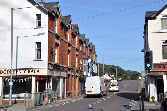
Bala, Gwynedd
Bala (Welsh: Y Bala) is a town and community in Gwynedd, Wales. Formerly an urban district, Bala lies in the historic county of Merionethshire, at the...

Llanfor
Llanfor is a village in Gwynedd, Wales near the town of Bala, in the community of Llandderfel. == History == There is evidence of an Iron Age Hill Fort...
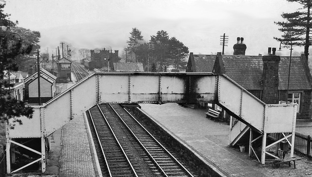
Bala (New) railway station
Bala railway station was on the Great Western Railway's Bala Ffestiniog Line in Wales. It replaced the first Bala station which was further away from the...

Bala Town Hall
Bala Town Hall (Welsh: Neuadd y Dref Y Bala), known in the late 19th century as the County Hall (Welsh: Neuadd y Sir Y Bala), is a municipal building in...
Nearby Amenities
Located within 500m of 52.899712,-3.5754Have you been to Rhosygwaliau?
Leave your review of Rhosygwaliau below (or comments, questions and feedback).