Bures Green
Settlement in Suffolk Babergh
England
Bures Green
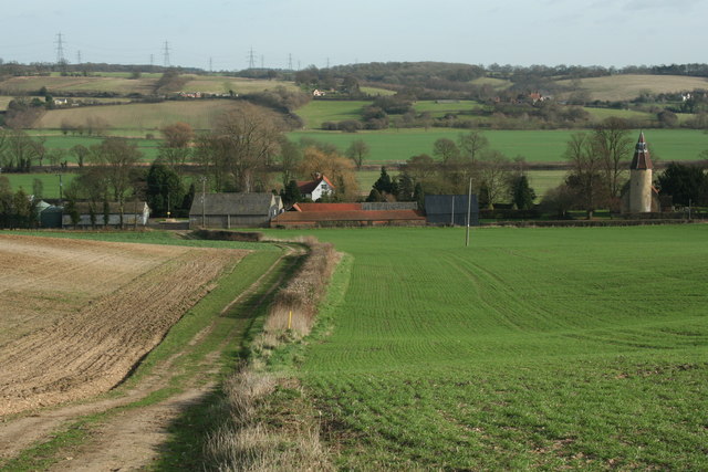
Bures Green is a small village located in the county of Suffolk, England. Situated in the Babergh District, it is part of the larger civil parish of Bures St. Mary. The village is nestled in the picturesque Stour Valley, renowned for its beautiful landscapes and charming rural atmosphere.
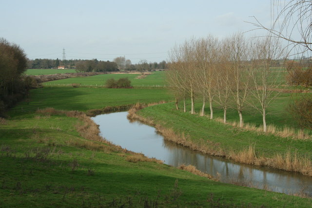
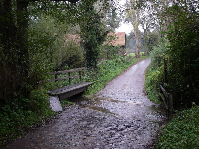
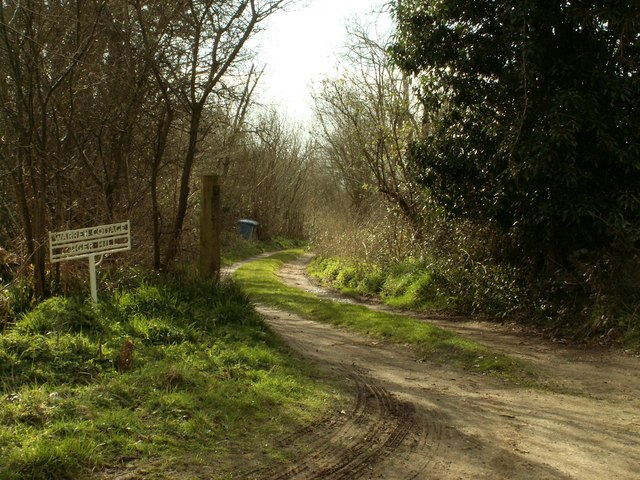
Bures Green is surrounded by stunning countryside, with rolling hills and meandering rivers that attract nature enthusiasts and outdoor lovers. The nearby River Stour offers opportunities for boating, fishing, and leisurely walks along its banks. The village is also known for its proximity to the Dedham Vale Area of Outstanding Natural Beauty, which further enhances its appeal to visitors and residents alike.
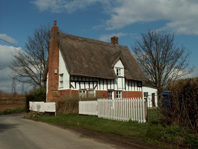
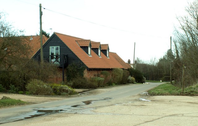
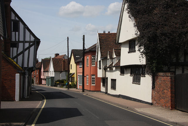
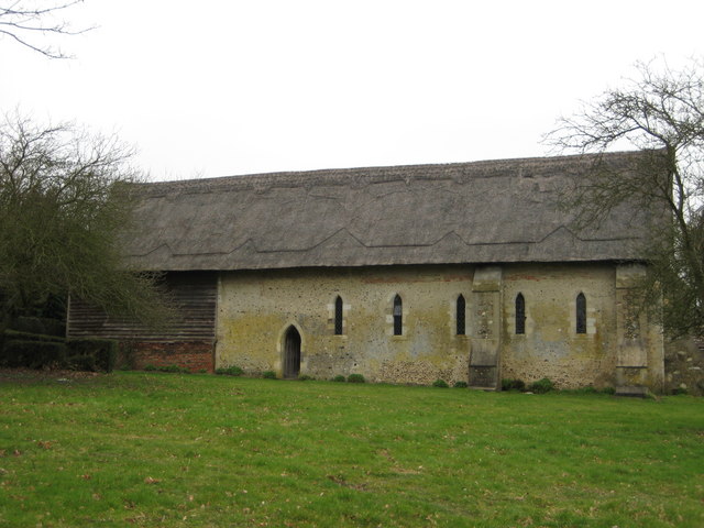
Despite its small size, Bures Green has a rich history. The area has evidence of human settlement dating back to Roman times, and several ancient archaeological sites can be found in the vicinity, including earthworks and burial mounds. The village itself features a mix of architectural styles, with traditional timber-framed cottages and more modern houses interspersed throughout.
Although Bures Green is a quiet and peaceful place, it benefits from its close proximity to larger towns. The market town of Sudbury is just a short drive away, offering a range of amenities, including shops, restaurants, and leisure facilities. The village also benefits from good transportation links, with nearby train stations providing connections to London and other major cities.
Overall, Bures Green is a delightful village that offers a tranquil countryside lifestyle, with easy access to both natural beauty and urban conveniences.
If you have any feedback on the listing, please let us know in the comments section below.
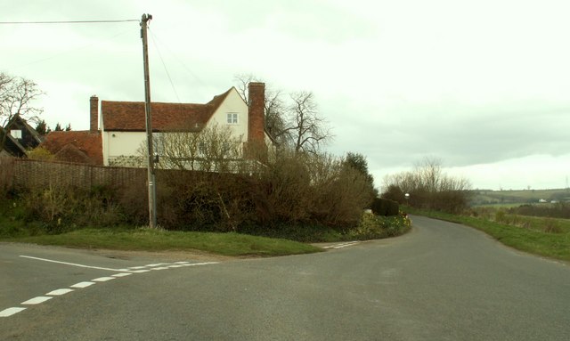
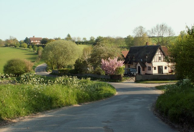
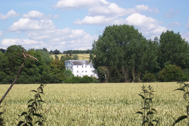
Bures Green Images
Images are sourced within 2km of 51.982656/0.78315 or Grid Reference TL9135. Thanks to Geograph Open Source API. All images are credited.


Bures Green is located at Grid Ref: TL9135 (Lat: 51.982656, Lng: 0.78315)
Administrative County: Suffolk
District: Babergh
Police Authority: Suffolk
What 3 Words
///lectured.skidding.iron. Near Bures St Mary, Suffolk
Nearby Locations
Related Wikis
Bures, England
Bures is a village in eastern England that straddles the Essex/Suffolk border, made up of two civil parishes: Bures Hamlet in Essex and Bures St. Mary...
Bures St Mary
Bures St Mary is a civil parish in the Babergh district of the English county of Suffolk. In 2005 it had a population of 940, reducing to 918 at the 2011...

Bures Hamlet
Bures Hamlet is a civil parish in the Braintree district of Essex, England. At the 2011 census, it had a population of 749.The parish covers the western...

Tiger Hill, Suffolk
Tiger Hill is a 21 hectare Local Nature Reserve between Bures St Mary and Leavenheath in Suffolk. It is owned by [a group of landowners and declared under...

Bures railway station
Bures railway station is on the Gainsborough Line, a branch off the Great Eastern Main Line to Sudbury, in the East of England, serving the village of...
Lamarsh
Lamarsh is a village and a civil parish in the Braintree District, in the county of Essex, England. It is near the large village of Bures and the village...

Holy Innocents Church, Lamarsh
Holy Innocents Church is an Anglican church in the village of Lamarsh, in Essex, England. The building has a round tower and dates from the 12th century...

Sudbury transmitting station
The Sudbury transmitting station is a facility for telecommunications and broadcasting transmission at Sudbury, England. It consists of two guyed masts...
Nearby Amenities
Located within 500m of 51.982656,0.78315Have you been to Bures Green?
Leave your review of Bures Green below (or comments, questions and feedback).