Bures St. Mary
Civil Parish in Suffolk Babergh
England
Bures St. Mary
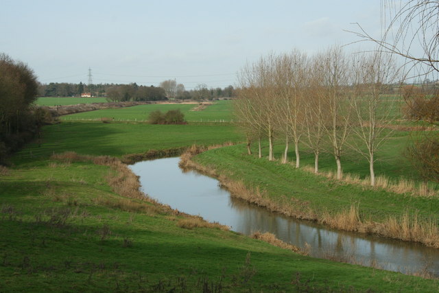
Bures St. Mary is a civil parish located in the county of Suffolk, England. It is situated on the banks of the River Stour, near the border with Essex. The parish covers an area of approximately 9 square kilometers and is home to a population of around 1,300 people.
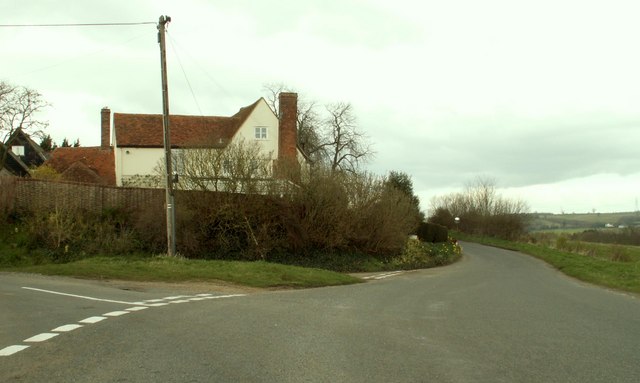
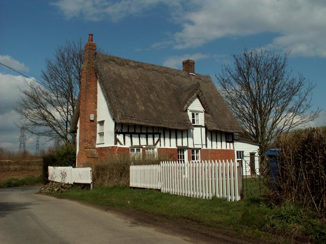
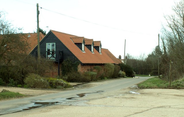
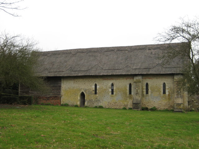
The village of Bures St. Mary has a rich history dating back to the medieval period. It features several notable historic buildings, including the Church of St. Mary, which dates back to the 14th century and is known for its beautiful stained glass windows and intricate stone carvings. Other historic landmarks in the area include Bures Mill, a former watermill that has been converted into residential properties, and the Old School, a listed building that now serves as a community center.
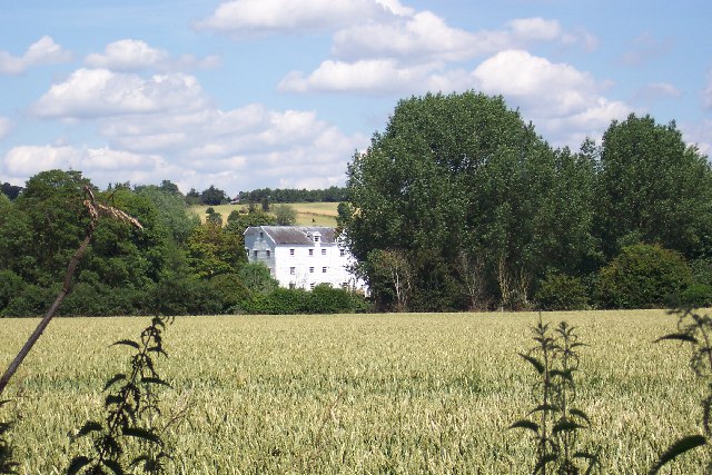
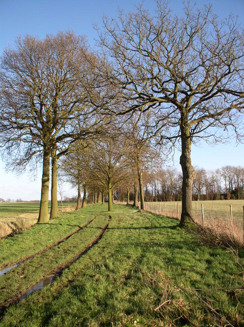
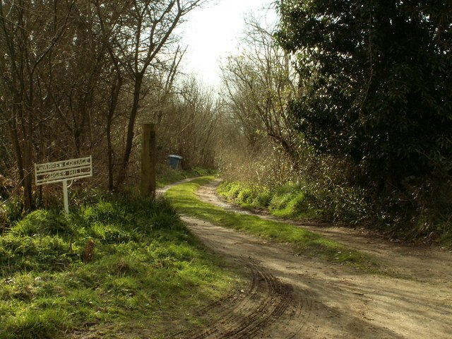
The surrounding countryside of Bures St. Mary is characterized by rolling hills, meadows, and woodlands, making it a picturesque place to live or visit. The area is popular with walkers and nature enthusiasts, with several walking trails and nature reserves nearby. The River Stour also offers opportunities for boating and fishing.
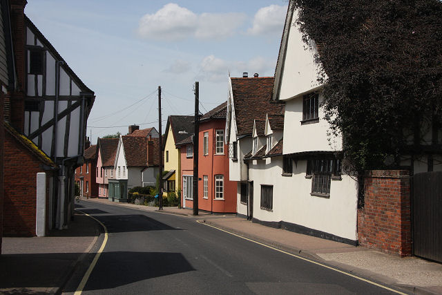
The village has a strong sense of community, with various local groups and events that bring residents together. It has a primary school, a village hall, and a small selection of shops and amenities, including a post office and a pub.
Overall, Bures St. Mary is a charming and historic village with a close-knit community, beautiful surroundings, and a peaceful rural atmosphere.
If you have any feedback on the listing, please let us know in the comments section below.
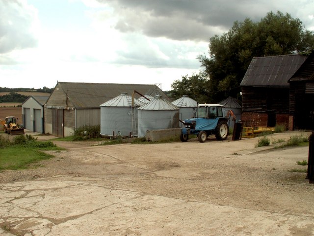
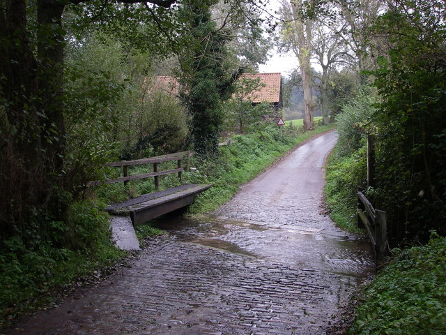
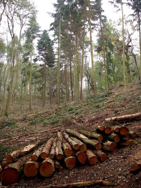
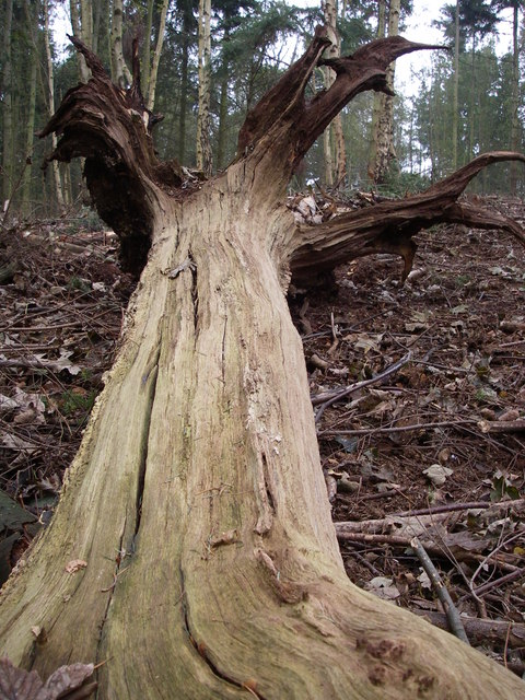
Bures St. Mary Images
Images are sourced within 2km of 51.981635/0.788651 or Grid Reference TL9135. Thanks to Geograph Open Source API. All images are credited.


Bures St. Mary is located at Grid Ref: TL9135 (Lat: 51.981635, Lng: 0.788651)
Administrative County: Suffolk
District: Babergh
Police Authority: Suffolk
What 3 Words
///puddings.president.chap. Near Bures St Mary, Suffolk
Nearby Locations
Related Wikis
Bures, England
Bures is a village in eastern England that straddles the Essex/Suffolk border, made up of two civil parishes: Bures Hamlet in Essex and Bures St. Mary...

Tiger Hill, Suffolk
Tiger Hill is a 21 hectare Local Nature Reserve between Bures St Mary and Leavenheath in Suffolk. It is owned by [a group of landowners and declared under...
Bures St Mary
Bures St Mary is a civil parish in the Babergh district of the English county of Suffolk. In 2005 it had a population of 940, reducing to 918 at the 2011...

Bures Hamlet
Bures Hamlet is a civil parish in the Braintree district of Essex, England. At the 2011 census, it had a population of 749.The parish covers the western...

Bures railway station
Bures railway station is on the Gainsborough Line, a branch off the Great Eastern Main Line to Sudbury, in the East of England, serving the village of...
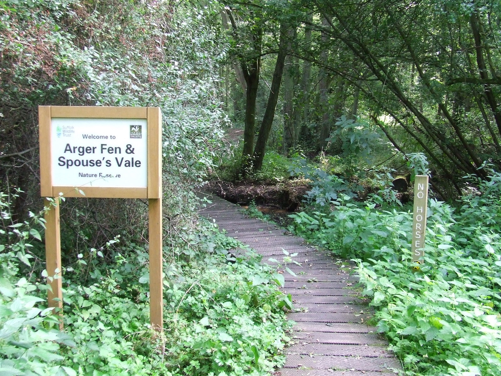
Arger Fen
Arger Fen is a 49.7-hectare (123-acre) biological Site of Special Scientific Interest (SSSI) south-east of Sudbury in Suffolk, England. The site occupies...

Smallbridge Hall
Smallbridge Hall is a Grade II* listed English country house in Bures St. Mary, Suffolk, near Colchester, England. The house is partially surrounded by...

Sudbury transmitting station
The Sudbury transmitting station is a facility for telecommunications and broadcasting transmission at Sudbury, England. It consists of two guyed masts...
Nearby Amenities
Located within 500m of 51.981635,0.788651Have you been to Bures St. Mary?
Leave your review of Bures St. Mary below (or comments, questions and feedback).