Aller
Settlement in Somerset South Somerset
England
Aller
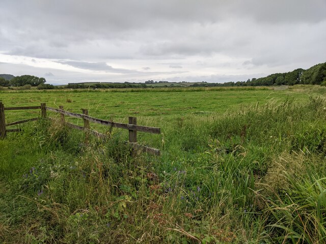
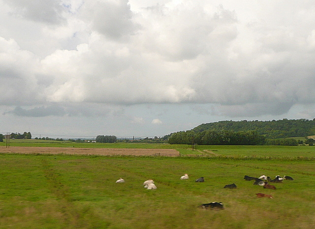
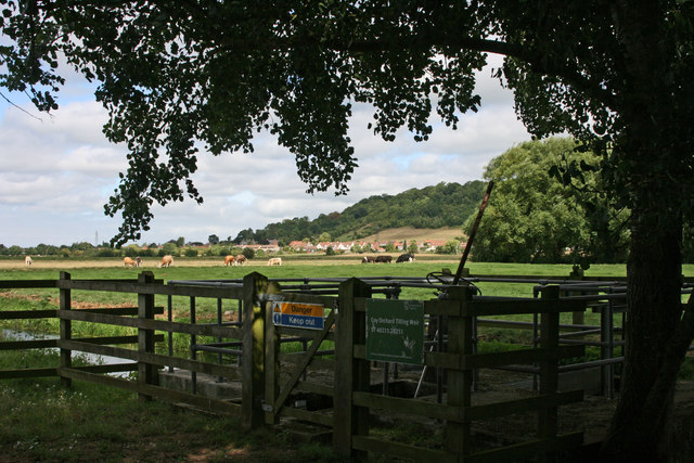
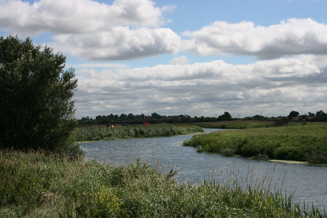
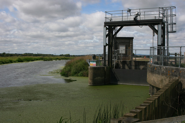
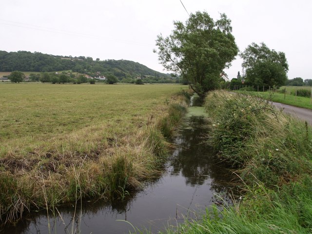
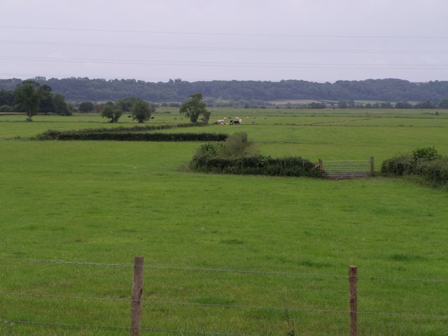
Aller is a small village located in the county of Somerset, England. It is situated approximately 5 miles southwest of the town of Langport and around 10 miles northwest of Yeovil. The village is nestled within the picturesque Somerset Levels, a low-lying area renowned for its wetlands and rich agricultural land.
Aller boasts a history dating back to the medieval period, with the village mentioned in the Domesday Book of 1086. The village is home to several historic buildings, including the Grade II listed Aller Court and Aller Farmhouse, which showcase traditional Somerset architecture.
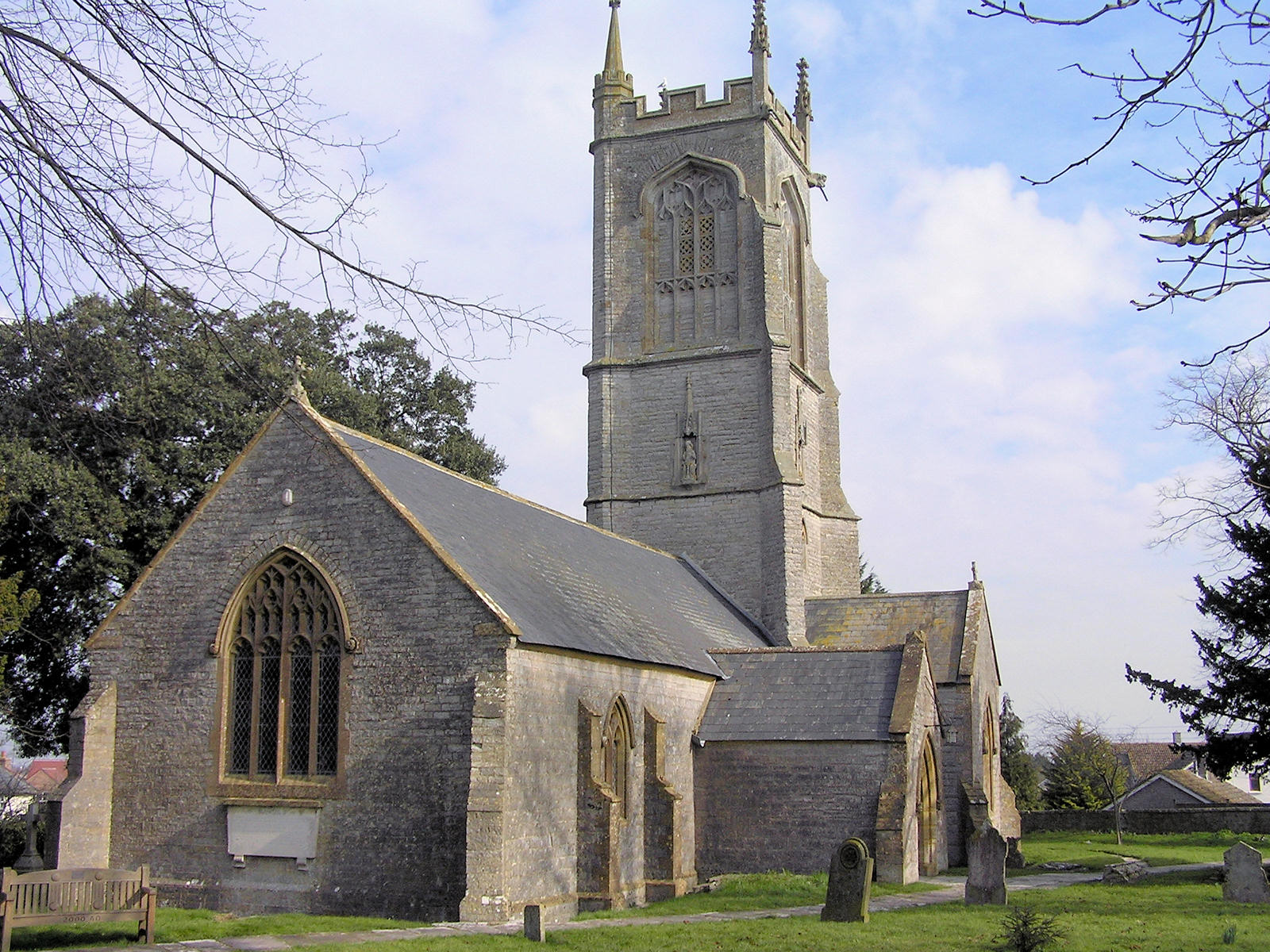
With a population of around 400 residents, Aller maintains a close-knit community atmosphere. The village offers basic amenities, including a village hall, a primary school, and a local pub, providing a focal point for social gatherings. The local church, St. Andrew's, also serves as a significant landmark and cultural hub for the community.
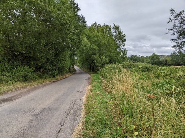
The surrounding countryside offers ample opportunities for outdoor activities, such as walking and cycling. Aller is located near the River Parrett, allowing residents and visitors to enjoy fishing and boating in the area. The nearby Ham Hill Country Park provides stunning views of the surrounding landscape and is a popular destination for nature enthusiasts.
Overall, Aller offers a tranquil and idyllic setting, with its rich history, charming architecture, and proximity to the stunning Somerset Levels making it an attractive place to live or visit.
If you have any feedback on the listing, please let us know in the comments section below.
Aller Images
Images are sourced within 2km of 51.059184/-2.8580182 or Grid Reference ST3929. Thanks to Geograph Open Source API. All images are credited.


Aller is located at Grid Ref: ST3929 (Lat: 51.059184, Lng: -2.8580182)
Administrative County: Somerset
District: South Somerset
Police Authority: Avon and Somerset
What 3 Words
///trimmer.mallets.cries. Near Langport, Somerset
Related Wikis
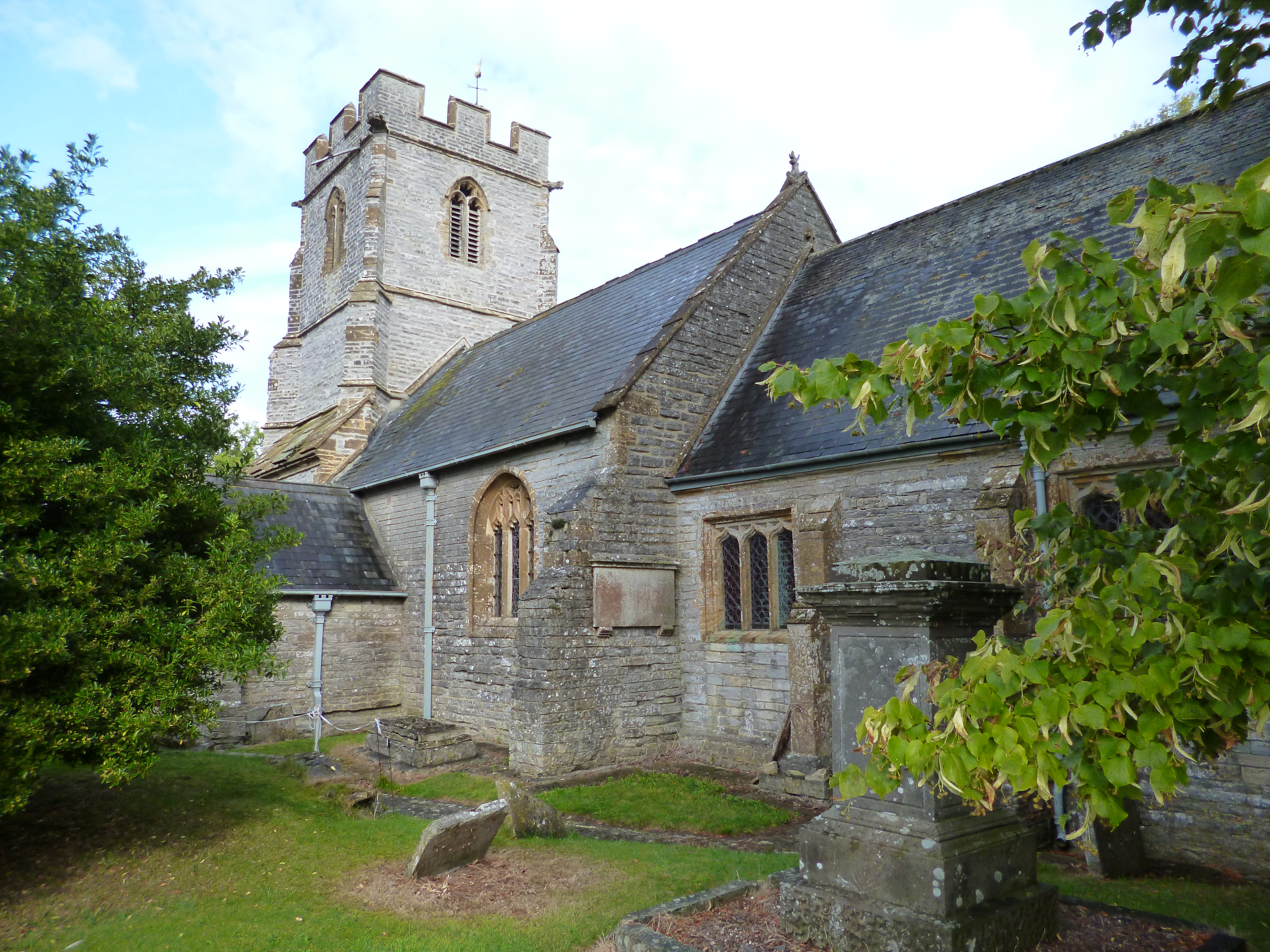
Church of St Andrew, Aller
The Anglican Church of St Andrew in Aller, Somerset, England, was built in the 11th century. It is a Grade II* listed building. == History == The Church...
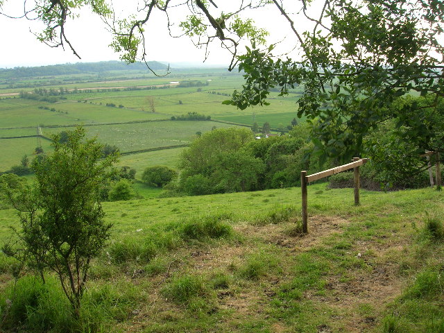
Aller Hill
Aller Hill (grid reference ST408291) is an 18.4 hectare (45.4 acre) biological Site of Special Scientific Interest near Aller in Somerset, notified in...

Aller, Somerset
Aller is a village and parish in Somerset, England, situated 5 miles (8.0 km) west of Somerton on the A372 road towards Bridgwater. The village has a population...
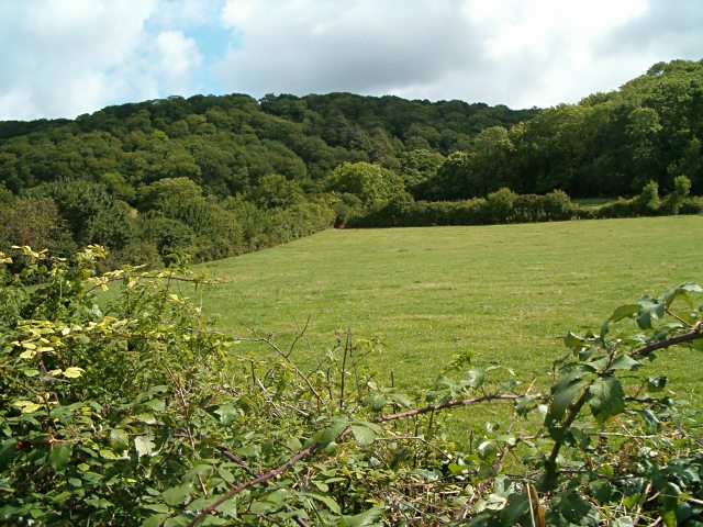
Aller and Beer Woods
Aller and Beer Woods (grid reference ST404305) is a 56.9 hectares (141 acres) biological Site of Special Scientific Interest. off the A372 Othery to Langport...
Othery
The parish and village of Othery, established in 1515, sits on a detached extension of Sowy island on the Somerset Levels. It is 7 miles (11 km) east of...

Warehouse, Langport
The Warehouse in Great Bow Yard Langport, Somerset, England is an example of Victorian industrial architecture. The Warehouse was built in the late 18th...
Langport East railway station
Langport East was a railway station situated in Langport in Somerset. The station also served Huish Episcopi. The station was on the Langport and Castle...

Southlake Moor
Southlake Moor (grid reference ST370300) is a 196.1 hectare (484.6 acre) biological Site of Special Scientific Interest near Burrow Mump and Burrowbridge...
Nearby Amenities
Located within 500m of 51.059184,-2.8580182Have you been to Aller?
Leave your review of Aller below (or comments, questions and feedback).