Aller

Settlement in Devon Mid Devon

England

Aller

Kentisbeare : Allerhayes Farm Looking towards a barn in the farm.
Kentisbeare : Allerhayes Farm Credit: Lewis Clarke

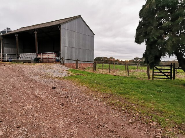
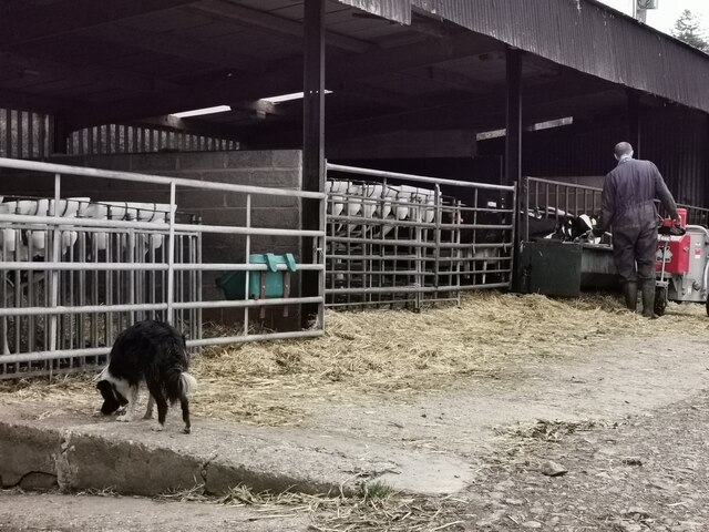
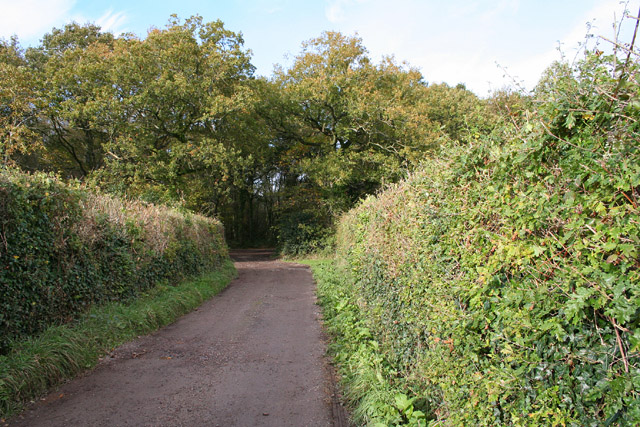
Aller is a small village located in the county of Devon, England. Situated in the South West region of the country, it is part of the district of South Hams. Aller is nestled in the beautiful countryside, surrounded by lush green fields and rolling hills, making it a picturesque and idyllic location.

The village is home to a close-knit community of approximately 500 residents. It retains a charming and traditional English village feel, with quaint cottages and historic buildings dotted throughout its streets. Aller is known for its peaceful atmosphere and tranquil surroundings, making it a popular destination for those seeking a quiet and relaxed lifestyle.

Despite its small size, Aller offers a range of amenities to its residents. These include a local pub, a village hall, and a primary school, providing essential services and fostering a sense of community. The nearby town of Totnes, located just a few miles away, offers a wider range of facilities, including supermarkets, shops, and leisure activities.

Aller is well-positioned for outdoor enthusiasts, with the stunning Dartmoor National Park just a short drive away. The park provides ample opportunities for hiking, cycling, and exploring the natural beauty of the area. Additionally, the picturesque South Devon coastline is easily accessible, offering sandy beaches, charming seaside towns, and breathtaking coastal walks.

Overall, Aller is a charming and peaceful village in the heart of the Devon countryside. Its idyllic surroundings, close-knit community, and convenient access to both nature and amenities make it an attractive place to live or visit.

If you have any feedback on the listing, please let us know in the comments section below.

Aller Images

Images are sourced within 2km of 50.851773/-3.348839 or Grid Reference ST0506. Thanks to Geograph Open Source API. All images are credited.

Kentisbeare : Allerhayes Farm Looking towards a barn in the farm.
Kentisbeare : Allerhayes Farm
Looking towards a barn in the farm.
Kentisbeare : Allerhayes Farm A barn in the farm.
Kentisbeare : Allerhayes Farm
A barn in the farm.
Kentisbeare : Aller Cross Looking along the road at the junction.
Kentisbeare : Aller Cross
Looking along the road at the junction.
Heading east on the A373 at the Keepers Cottage Inn
In Dulford heading towards Honiton
On the A373 heading east approaching Post Cross
Old Milestoneby the A373, Kentisbeare parish Carved stone post by the A373, in parish of Kentisbeare (Mid Devon District), 100m Northwest of Keepers Cottage Inn, on grass verge, on North side of road. Honiton gabled stone, erected by the Honiton turnpike trust in the 19th century. An earlier photograph can be found here <a title="https://www.geograph.org.uk/photo/6050432" href="https://www.geograph.org.uk/photo/6050432">Link</a>.

Inscription reads:-
(H)ONITON
8
(CU)LLOMPTON
3

Milestone Society National ID: DV_CMHN03
Old Milestoneby the A373, Kentisbeare parish
Carved stone post by the A373, in parish of Kentisbeare (Mid Devon District), 100m Northwest of Keepers Cottage Inn, on grass verge, on North side of road. Honiton gabled stone, erected by the Honiton turnpike trust in the 19th century. An earlier photograph can be found here Link. Inscription reads:- (H)ONITON 8 (CU)LLOMPTON 3 Milestone Society National ID: DV_CMHN03
Cullompton : Fordmore Farm Looking towards one of the enclosures for animals at Fordmore Farm.
Cullompton : Fordmore Farm
Looking towards one of the enclosures for animals at Fordmore Farm.
Cullompton : Fordmore Farm Looking towards enclosures for the ponies at Fordmore Farm.
Cullompton : Fordmore Farm
Looking towards enclosures for the ponies at Fordmore Farm.
Cullompton : Fordmore Farm - Ponies Ponies at Fordmore Farm.
Cullompton : Fordmore Farm - Ponies
Ponies at Fordmore Farm.
Cullompton : Fordmore Farm A play area at Fordmore Farm.
Cullompton : Fordmore Farm
A play area at Fordmore Farm.
Cullompton : Fordmore Farm - Pond A small pond at Fordmore Farm.
Cullompton : Fordmore Farm - Pond
A small pond at Fordmore Farm.
Cullompton : Fordmore Farm - Flapjackery A small flapjackery outlet at Fordmore Farm.
Cullompton : Fordmore Farm - Flapjackery
A small flapjackery outlet at Fordmore Farm.
Cullompton : Fordmore Farm Looking across the farm which is a destination and cafe.
Cullompton : Fordmore Farm
Looking across the farm which is a destination and cafe.
Kentisbeare playing fields Village cricket is thriving in Kentisbeare.
Kentisbeare playing fields
Village cricket is thriving in Kentisbeare.
Kentisbeare: overhead transmission line By lane from Five Cross Way
Kentisbeare: overhead transmission line
By lane from Five Cross Way
Kentisbeare: Aller Home Farm Home of the Hazlyn herd of Friesians. The 1940s Ordnance Survey map shows woods in front of the farm; these have clearly been felled in the last 60 years
Kentisbeare: Aller Home Farm
Home of the Hazlyn herd of Friesians. The 1940s Ordnance Survey map shows woods in front of the farm; these have clearly been felled in the last 60 years
Broadhembury: woods at Kentis Moor Seen from the lane that leads to Dulford Nursery. These woods were hardly in existence when the 1940s Ordnance Survey map was surveyed
Broadhembury: woods at Kentis Moor
Seen from the lane that leads to Dulford Nursery. These woods were hardly in existence when the 1940s Ordnance Survey map was surveyed
Show me another place!

Aller is located at Grid Ref: ST0506 (Lat: 50.851773, Lng: -3.348839)

Administrative County: Devon

District: Mid Devon

Police Authority: Devon and Cornwall

What 3 Words

///interviewer.branch.midwinter. Near Cullompton, Devon

Nearby Locations

Kentis Moor Aller

Related Wikis

Aller, Devon

Aller is a village in the civil parish of Kentisbeare in the historic county of Devon, England. Aller is situated about 2 miles (3.2 km) east of Cullompton...

Kentisbeare

Kentisbeare is a village and civil parish in the Mid Devon district of Devon, England. Its nearest town is Cullompton. == Descent of the manor == In the...

Kerswell Priory

Kerswell Priory (alias Carswell) was a small Cluniac priory in the parish of Broadhembury in Devon, England. == History == According to the Ecclesiastical...

Cullompton Rangers F.C.

Cullompton Rangers Football Club is a football club based in Cullompton, Devon, England. They are currently members of the South West Peninsula League...

Tiverton and Honiton (UK Parliament constituency)

Tiverton and Honiton is a constituency in Devon, England. The current MP is Richard Foord of the Liberal Democrats, elected at a by-election on 23 June...

Cullompton services

Cullompton services is a motorway service station on the M5 motorway near Exeter. It is owned by Extra MSA. It has a McDonald's restaurant which is franchised...

Orway

Orway is a small hamlet, approximately 1.5 miles squared, situated just on the edge of the Blackdown Hills in Devon, United Kingdom. It is located in the...

Cullompton Community College

Cullompton Community College is a coeducational foundation secondary school located in Cullompton in the county of Devon.First established in 1872, the...

Nearby Amenities

Located within 500m of 50.851773,-3.348839
Aller Cross
Place: locality
Source: OS_OpenData_StreetView
Lat/Long: 50.8509181/-3.3458875
Power: tower
Source: bing
Lat/Long: 50.8539902/-3.3538688
Power: tower
Source: bing
Lat/Long: 50.851519/-3.3520404
Power: tower
Source: bing
Lat/Long: 50.849076/-3.3526542
Power: pole
Source: bing
Lat/Long: 50.8539251/-3.3501221
Power: pole
Source: bing
Lat/Long: 50.8547328/-3.3502455
Material: wood
Power: pole
Source: bing
Lat/Long: 50.8556623/-3.3503911
The data included in this document is from www.openstreetmap.org. The data is made available under ODbL.

Have you been to Aller?

Leave your review of Aller below (or comments, questions and feedback).