Allenwood
Settlement in Cumberland Carlisle
England
Allenwood
Allenwood is a small community located in Cumberland County, Pennsylvania, United States. Situated approximately 25 miles southwest of Harrisburg, the state capital, this unincorporated village provides a serene and peaceful environment for its residents.
The area is primarily residential, characterized by suburban-style homes and well-maintained neighborhoods. The local community is close-knit, fostering a strong sense of camaraderie among its residents. Allenwood offers a safe and family-friendly atmosphere, making it an ideal place to raise children.
While Allenwood does not boast a wide range of amenities within its immediate vicinity, it benefits from its proximity to larger towns and cities. Residents have easy access to a variety of shopping centers, restaurants, and recreational facilities in nearby areas. The community is also conveniently located near major transportation routes, including Interstate 80, which allows for easy travel to other parts of the state.
Nature enthusiasts will appreciate the natural beauty that surrounds Allenwood. The village is surrounded by picturesque landscapes, including rolling hills and lush farmland. Outdoor activities such as hiking, fishing, and camping are popular among residents and visitors alike.
Overall, Allenwood offers a quiet and idyllic lifestyle for those seeking a peaceful retreat from the hustle and bustle of city living. Its close proximity to amenities and natural beauty make it an attractive place to call home.
If you have any feedback on the listing, please let us know in the comments section below.
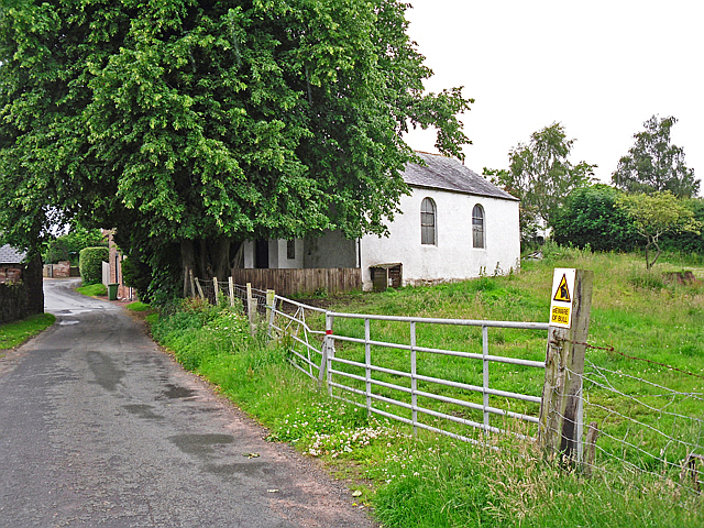
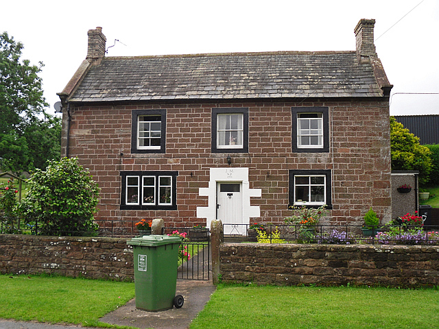
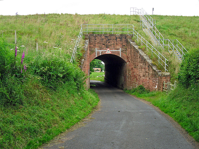
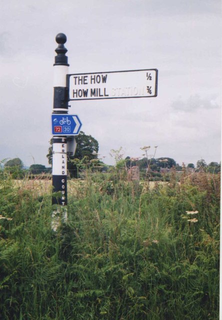
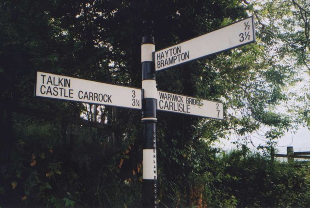
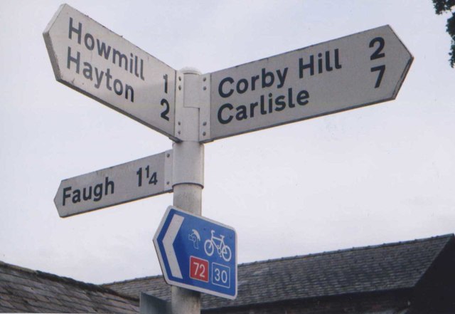
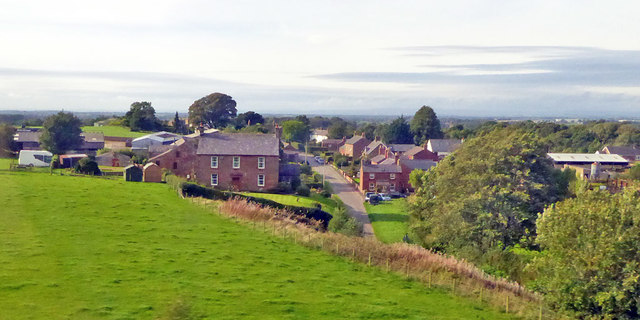
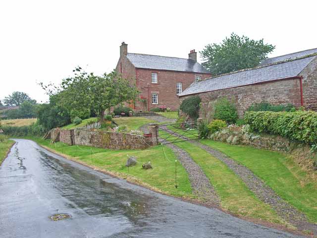
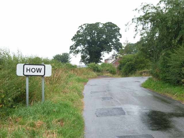
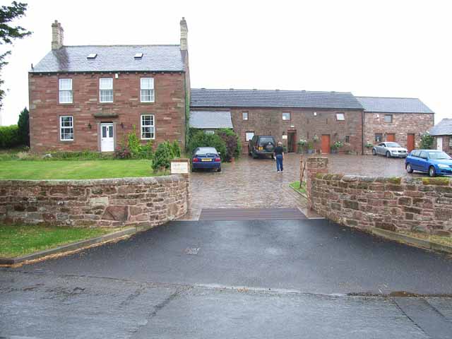
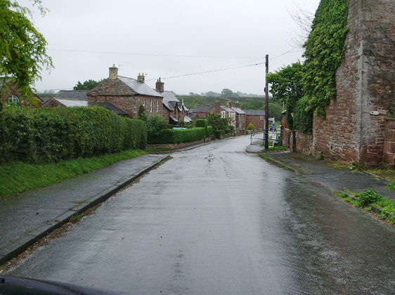
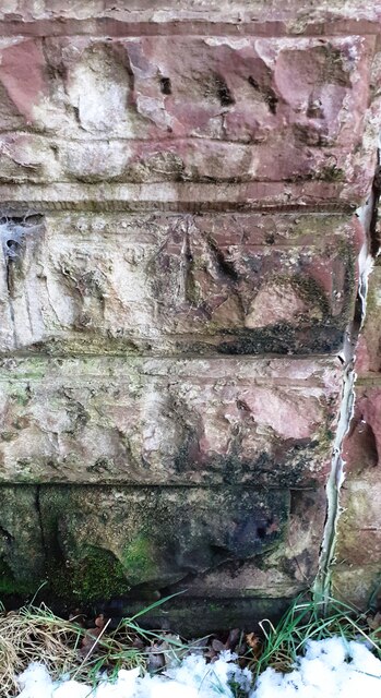
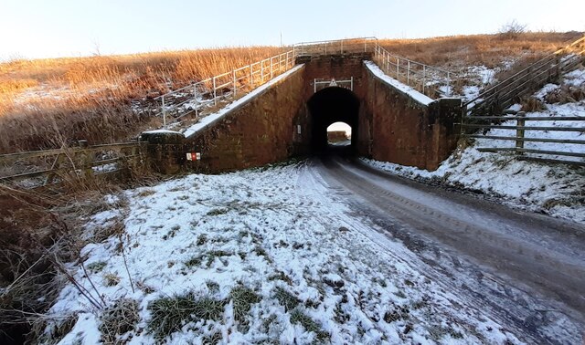
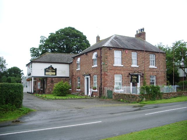
Allenwood Images
Images are sourced within 2km of 54.895936/-2.800167 or Grid Reference NY4855. Thanks to Geograph Open Source API. All images are credited.


Allenwood is located at Grid Ref: NY4855 (Lat: 54.895936, Lng: -2.800167)
Administrative County: Cumbria
District: Carlisle
Police Authority: Cumbria
What 3 Words
///thumb.premature.remain. Near Wetheral, Cumbria
Related Wikis
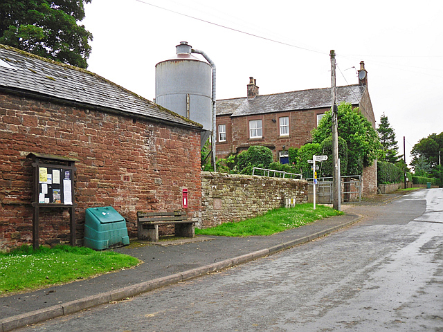
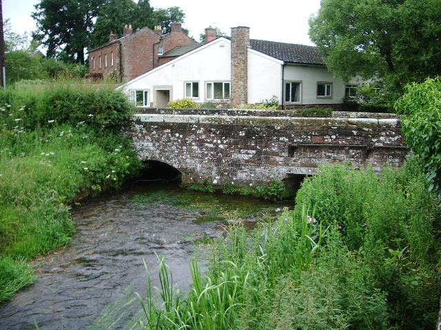
Allenwood, Cumbria
Allenwood is a hamlet in the City of Carlisle district, in the county of Cumbria, England. == Nearby settlements == Nearby settlements include the villages...
Broadwath
Broadwath is a hamlet in the City of Carlisle district, in the English county of Cumbria. Broadwath is on Cairn Beck. Nearby settlements include the villages...

Burnrigg
Burnrigg is a hamlet in Cumbria, England. It is located to the east of Carlisle. In 1887, The British Architect said "on a site particularly high and open...
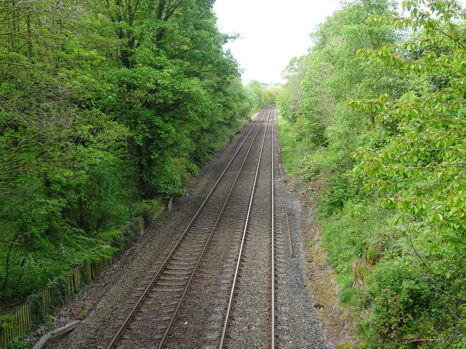
Heads Nook railway station
Heads Nook railway station served the village of Heads Nook, south-west of Brampton, Cumbria, England. The station was on the Newcastle and Carlisle Railway...

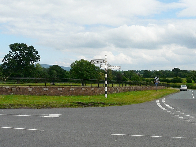
Heads Nook
Heads Nook is a village close to the market town of Brampton within the City of Carlisle district. It is in the English county of Cumbria. == Nearby... ==
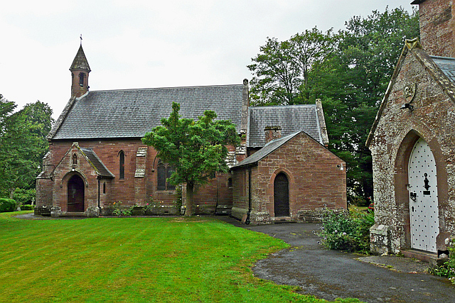
Corby Hill
Corby Hill is a village in Cumbria, England. It is located 5.4 miles (8.7 km) by road east of the city centre of Carlisle. The Trout Beck stream passes...

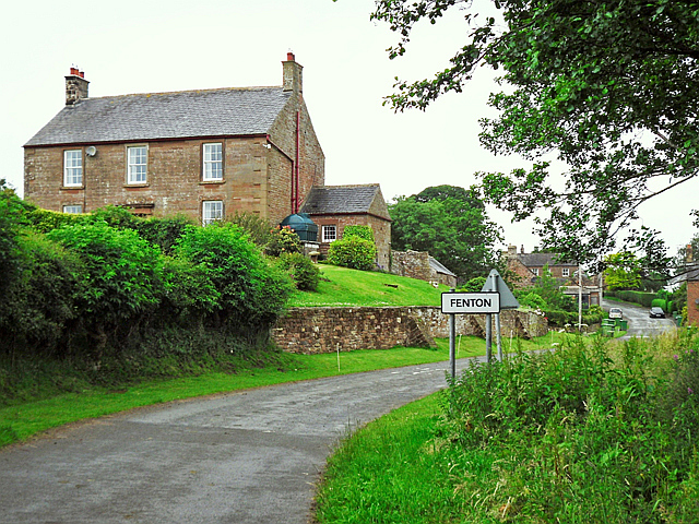
Fenton, Cumbria
Fenton is a small village in the City of Carlisle district, in the English county of Cumbria. It is near the small town of Brampton.
Warwick Bridge
Warwick Bridge is a village in the Cumberland area of the county of Cumbria, England. It forms part of a small urban area which includes the villages of...
Nearby Amenities
Located within 500m of 54.895936,-2.800167Have you been to Allenwood?
Leave your review of Allenwood below (or comments, questions and feedback).