Allt Gôch
Wood, Forest in Pembrokeshire
Wales
Allt Gôch
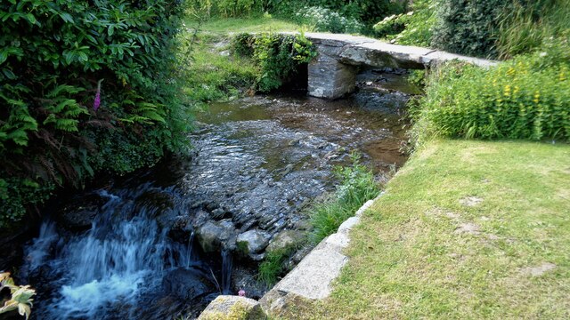
Allt Gôch is a picturesque woodland area located in Pembrokeshire, Wales. Covering a vast expanse of land, this enchanting forest is known for its breathtaking natural beauty and diverse range of flora and fauna.
The woodland is characterized by its dense canopy of towering trees, including oak, beech, and ash, which create a tranquil and serene atmosphere. The forest floor is adorned with a vibrant carpet of wildflowers, ferns, and mosses, adding to the area's charm and appeal.
Allt Gôch is home to a myriad of wildlife species, making it a perfect destination for nature enthusiasts and wildlife lovers. Visitors can spot a variety of birds, such as woodpeckers, owls, and warblers, as well as small mammals like foxes, badgers, and squirrels. The forest's diverse ecosystem also supports a wide range of insects, including butterflies and beetles.
The woodland offers a network of well-maintained trails, allowing visitors to explore its beauty at their own pace. Hiking and walking are popular activities, with paths meandering through the forest, leading to hidden waterfalls and tranquil streams. Adventure seekers can also enjoy mountain biking and horseback riding, taking advantage of the forest's varied terrain.
Allt Gôch is not only a haven for nature lovers but also serves as an important conservation area. Efforts have been made to protect and preserve the woodland's delicate ecosystem, ensuring its sustainability for future generations to enjoy.
Overall, Allt Gôch in Pembrokeshire is a captivating woodland destination, offering a unique blend of natural beauty, wildlife, and outdoor activities.
If you have any feedback on the listing, please let us know in the comments section below.
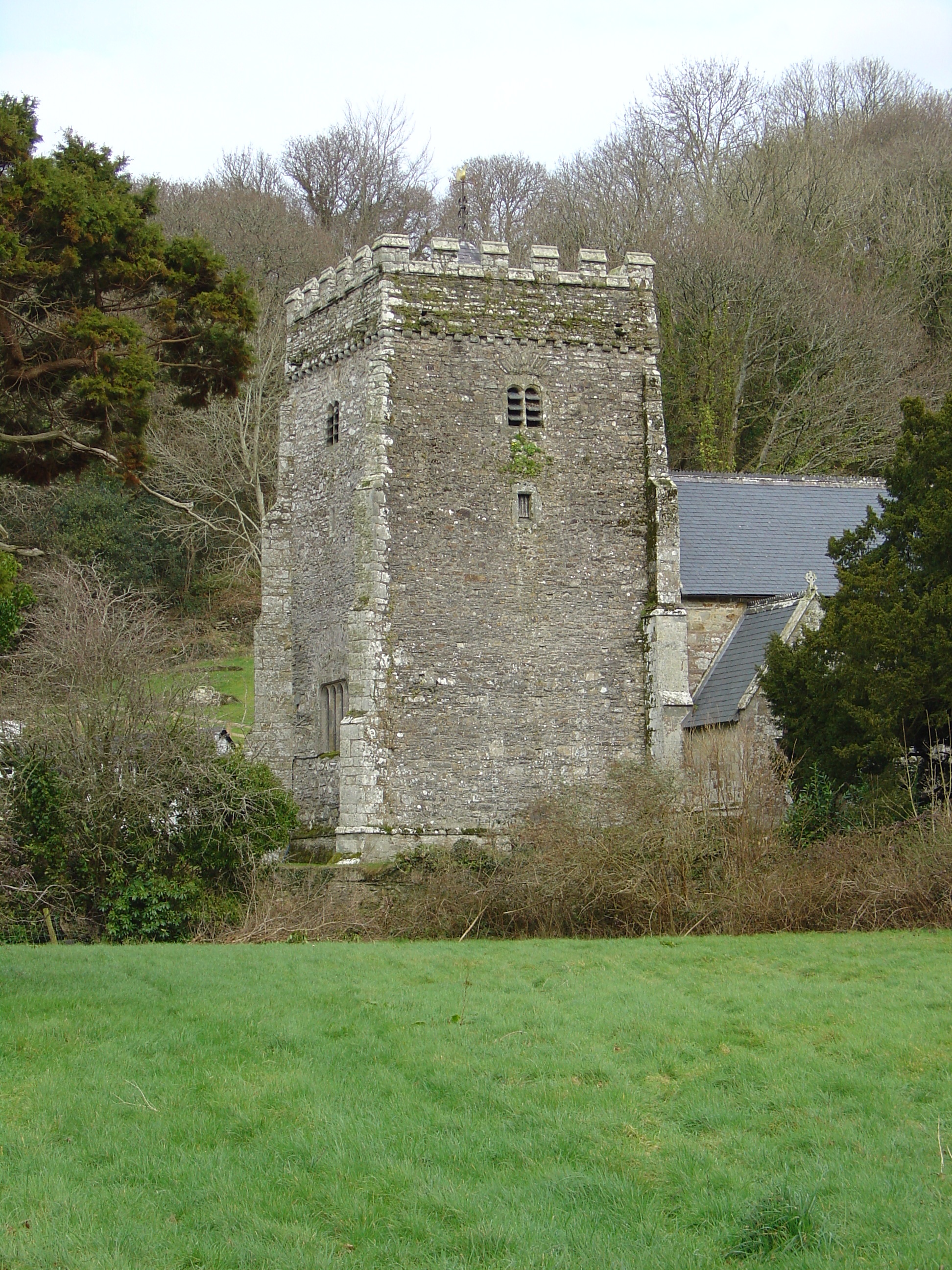
Allt Gôch Images
Images are sourced within 2km of 52.019641/-4.7907629 or Grid Reference SN0839. Thanks to Geograph Open Source API. All images are credited.


Allt Gôch is located at Grid Ref: SN0839 (Lat: 52.019641, Lng: -4.7907629)
Unitary Authority: Pembrokeshire
Police Authority: Dyfed Powys
What 3 Words
///cyclones.playing.visitors. Near Nevern, Pembrokeshire
Related Wikis
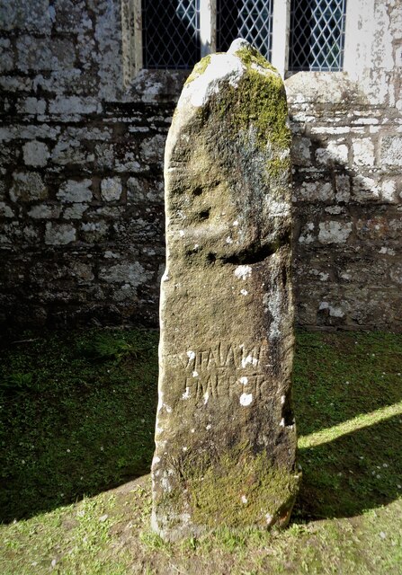
Nevern
Nevern (Welsh: Nanhyfer) is both a parish and a community in Pembrokeshire, Wales. The community includes the settlements of Felindre Farchog, Monington...

Nevern Bridge
Nevern Bridge (Welsh: Pont Nanhyfer) spans the River Nevern (Welsh: Afon Nyfer) in the centre of Nevern, Pembrokeshire, Wales. This Grade II listed bridge...

Felindre Farchog
Felindre Farchog (; rough English translation: mill village of the knight, or horseman) is a small village in the community of Nevern in Pembrokeshire...

Felin Llwyngwair
Felin Llwyngwair is a Site of Special Scientific Interest (or SSSI) near Newport in Pembrokeshire, South Wales. It was designated a SSSI (ID2580, code...
Related Videos

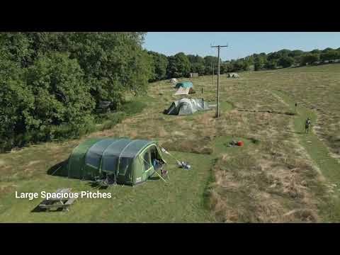
Coedfryn Farm Camping Pembrokeshire
Each pitch has its own campfire, BBQ, picnic table, and sheltered kitchen area. There is a large barn with a gas BBQ and lots of ...

Nearby Amenities
Located within 500m of 52.019641,-4.7907629Have you been to Allt Gôch?
Leave your review of Allt Gôch below (or comments, questions and feedback).