Nyfer
Settlement in Pembrokeshire
Wales
Nyfer
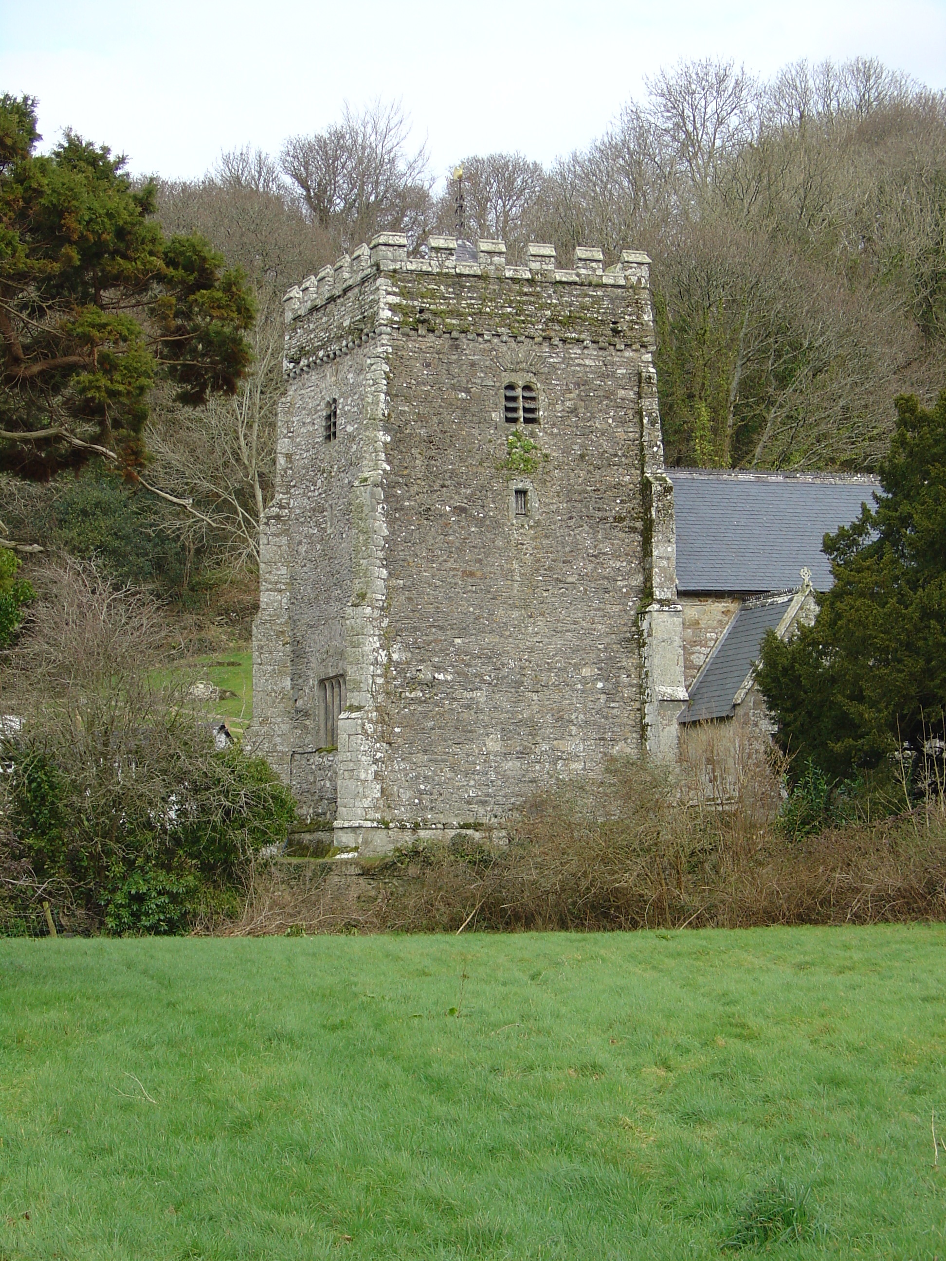
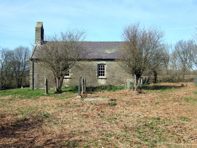
Nyfer is a small coastal village located in the county of Pembrokeshire, Wales. Situated on the western edge of the country, it is known for its stunning natural beauty and serene atmosphere. The village is nestled between the rolling hills of the Pembrokeshire Coast National Park and the rugged coastline of the Irish Sea.
Nyfer boasts a picturesque harbor that has been in use for centuries, serving as a hub for fishing and boating activities. The harbor is lined with colorful fishing boats and offers breathtaking views of the surrounding cliffs and sea. The village itself is characterized by traditional stone houses, giving it a charming and timeless appeal.
The area is a haven for nature enthusiasts and outdoor adventurers alike. The Pembrokeshire Coast Path, which runs through the village, offers miles of scenic walking trails with panoramic views of the coastline. Visitors can explore the nearby beaches, such as Newgale and Whitesands Bay, which are renowned for their golden sands and excellent surfing conditions.
Nyfer is also home to a small but vibrant community. The village has a handful of local businesses, including quaint shops, cozy pubs, and restaurants serving fresh seafood. The locals are known for their warm hospitality and pride in their village's heritage.
Overall, Nyfer is a hidden gem that offers visitors a peaceful retreat surrounded by stunning natural landscapes. Whether seeking tranquility, outdoor adventures, or a glimpse into Welsh coastal life, Nyfer is a destination that is sure to captivate and enchant.
If you have any feedback on the listing, please let us know in the comments section below.
Nyfer Images
Images are sourced within 2km of 52.024687/-4.795479 or Grid Reference SN0839. Thanks to Geograph Open Source API. All images are credited.


Nyfer is located at Grid Ref: SN0839 (Lat: 52.024687, Lng: -4.795479)
Unitary Authority: Pembrokeshire
Police Authority: Dyfed Powys
Also known as: Neven, Nanhyfer
What 3 Words
///ogre.drain.firebird. Near Nevern, Pembrokeshire
Related Wikis

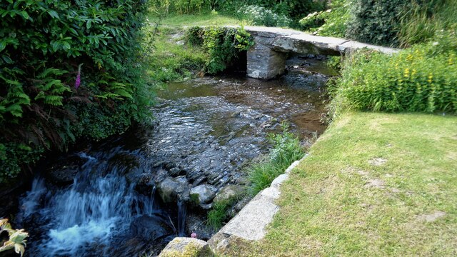
Nevern Bridge
Nevern Bridge (Welsh: Pont Nanhyfer) spans the River Nevern (Welsh: Afon Nyfer) in the centre of Nevern, Pembrokeshire, Wales. This Grade II listed bridge...
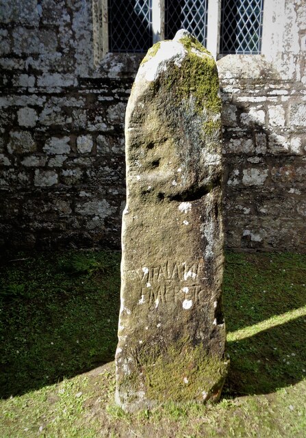
Nevern
Nevern (Welsh: Nanhyfer) is both a parish and a community in Pembrokeshire, Wales. The community includes the settlements of Felindre Farchog, Monington...

Felin Llwyngwair
Felin Llwyngwair is a Site of Special Scientific Interest (or SSSI) near Newport in Pembrokeshire, South Wales. It was designated a SSSI (ID2580, code...
Bayvil
Bayvil (Welsh: Y Beifil) is a hamlet and parish in Pembrokeshire, Wales. It is situated in the north of the county, 5 kilometres (3.1 mi) east of Newport...
Nearby Amenities
Located within 500m of 52.024687,-4.795479Have you been to Nyfer?
Leave your review of Nyfer below (or comments, questions and feedback).